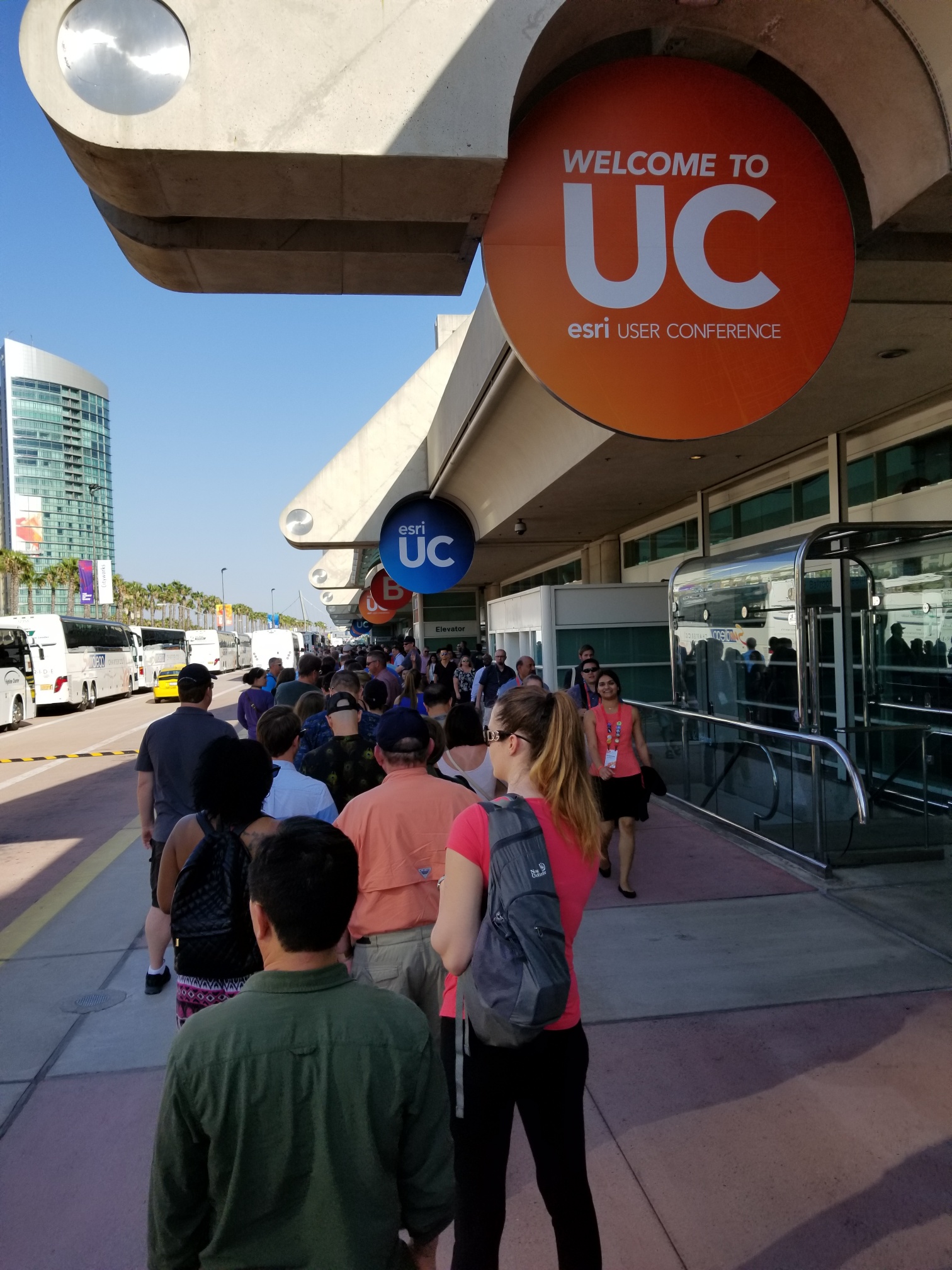
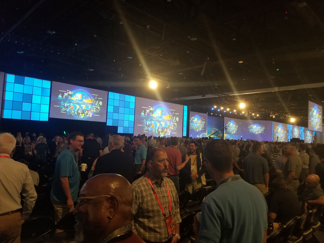
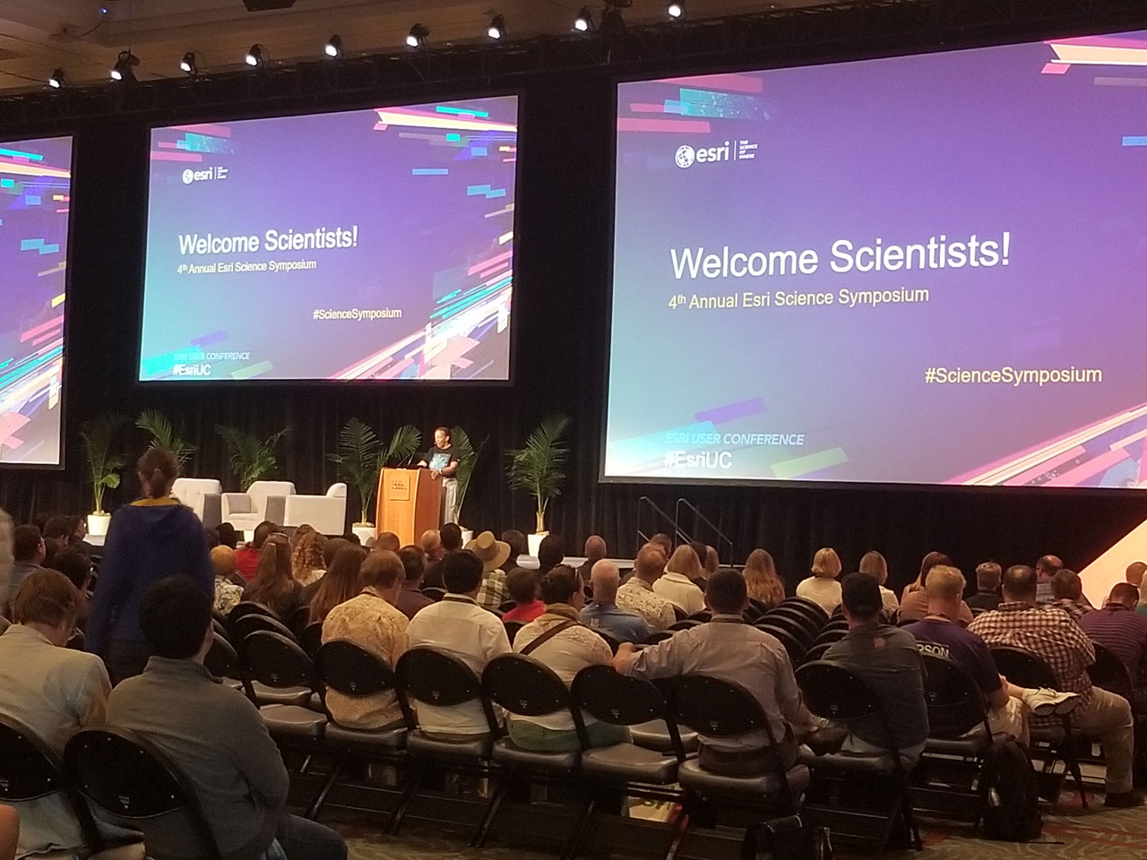
The Plenary opened with a moving collection of storytelling about the important work Esri users are doing and concluded with Jack Dangermond, Jane Goodall, and E.O. Wilson dialoguing about the future of our world. If you missed the livestream with more than 20,000 viewers worldwide (wow!), you’re in luck: Videos from the plenary are now available on Esri’s YouTube channel.
In this post, we’ll describe the in-person experience and link to the videos so you can see all of the action for yourself.
The opening video makes a compelling statement about how attendees are making a difference using GIS... On Twitter, we shared a video of Jack talking about his “aha” moment with GIS while working as a landscape architect in Boston. We encourage you to watch the video and document your own “aha!” moment with us here in GeoNet. Join the discussion.
Also: Hear from Esri staff and users from the conference about their moments on Twitter.
The Plenary Meet and Greet
Before diving into the world of GIS, Jack pauses to encourage everyone to turn and meet someone new.
Thousands of plenary attendees from all over the world introduce themselves to each other.
Your Work
Jack moves on to highlight a few maps from users all over the world. He shows a map from the Bay Area of California that demonstrates how engineering and public works staff are using artificial intelligence to predict water main breaks and highlights how public safety professionals in Sri Lanka use spatiotemporal maps to visualize and analyze crime data.
The domestic, international, and Young Scholar Special Achievement in GIS (SAG) awardees were displayed on the screen, followed by Jack presenting the Enterprise GIS Award to the District of Columbia (DC GIS) and his President’s Award to The City of San Diego. The City of San Diego is celebrating their 250th anniversary this year.
Curious about how it feels to be an Esri Award winner? I talked to two winners from the SAG awards in this post.
GIS: The Intelligent Nervous System
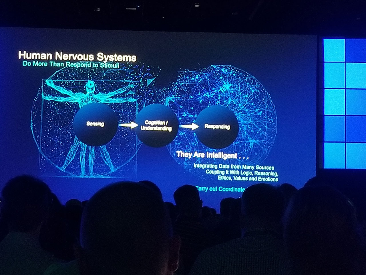
This year's theme, GIS: The Intelligent Nervous System, is a way of understanding how all of our separate efforts to capture, visualize, and analyze data are creating a global nervous system. As users, we form an intelligent network that’s addressing worldwide challenges. GIS helps us see the complexity, relationship, and patterns of those challenges.
How do we continue to build this global nervous system with GIS? Jack shares his vision:
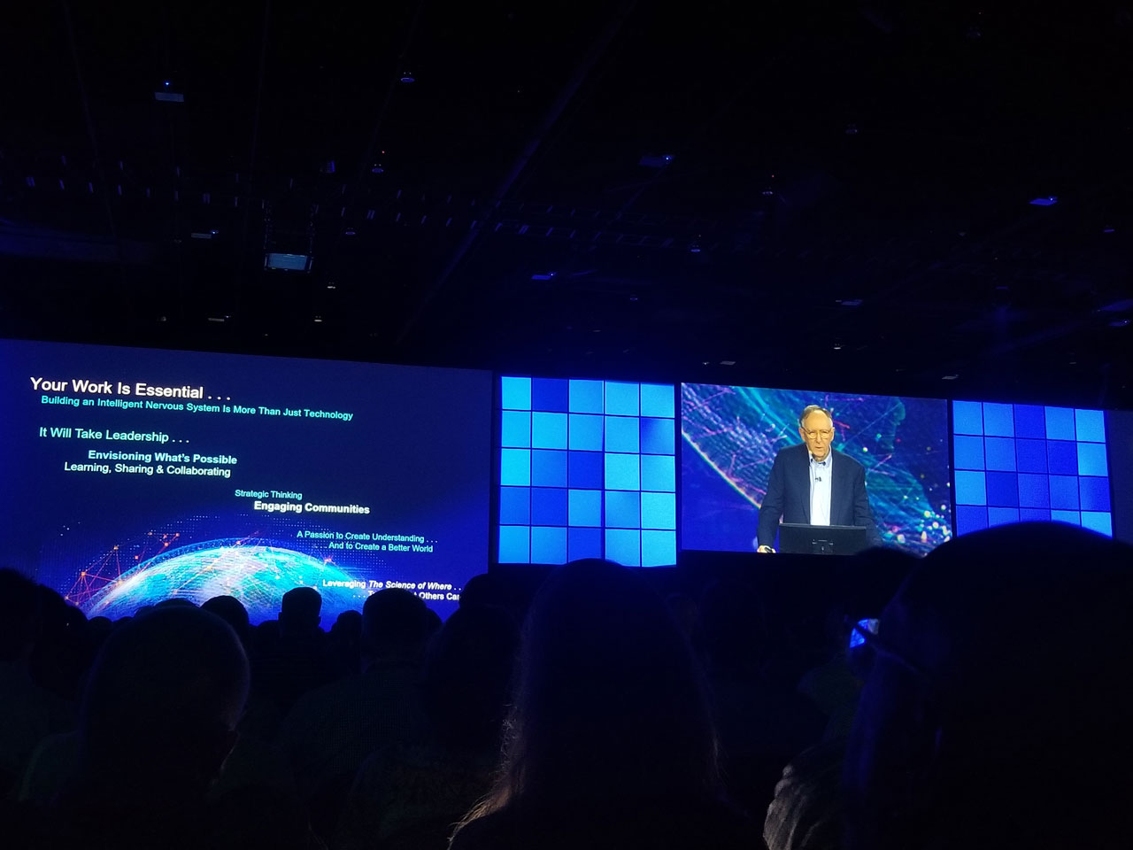
Your Work Is Essential
It Will Take Leadership:
- Envisioning What’s Possible
- Learning, Sharing & Collaborating
- Strategic Thinking
- Engaging Communities
- A Passion to Create Understanding and a Better World
- Leveraging The Science of Where to See What Others Can’t
ArcGIS: Creating a Common Language
The Esri geospatial cloud is one of the ways that our global nervous system communicates. Jack reviewed updates to ArcGIS products and solutions, including ArcGIS Notebook Server and introduced Mission, a product planned to release this winter, that supports real-time peer-to-peer communication and situational awareness in the field. Take a look at this clip and see the product roadmap for ArcGIS.
Here are a few notes that stood out about some of the products:
Following the ArcGIS product review, Jack explained why serving our users is so important and how we’re focused on advancing The Science of Where.
Featured Stories & Guests
Jennifer Bell demonstrated the new experience of ArcGIS StoryMaps using the expedition story of Alex Tait, a digital explorer from National Geographic Society. Tait went to Mount Everest to take high-resolution photogrammetry of the Khumbu glacier and documented his story with a series of images and maps. StoryMaps is available in 37 languages and is also mobile-friendly. See Alex Tait's StoryMap to experience the new modern, professional, and streamlined way to tell your story.
NatureServe took the stage to share how they used biodiversity data and ArcGIS Pro to map the location of 2,000 endangered species in the United States. Their map is accessible to engineers and planners so that they can be mindful of endangered species in their plans for construction, development, and land management.
In the second session, City of Pasadena firefighter Oscar A. Sepulveda III introduces himself to an audience of GIS professionals by saying, “I’m a firefighter. I’m not a GIS analyst. I can’t write code.” He jokingly underscores his non-technical service to the public by saying, “I put the wet stuff on the red stuff.” Sepulveda demonstrated how the City of Pasadena uses ArcGIS to monitor response locations and times as well as see a history of incident reports as a part of being an intelligent city.
More amazing stories and product demonstrations from United Services Automobile Association (USAA), New York Metropolitan Transportation Authority (NY MTA), ExxonMobil, U.S. Census Bureau, Ambassador Stefano Toscano of Geneva International Centre for Humanitarian Demining (GICHD), students from Lurgan Schools in Northern Ireland, African Parks, and National Geographic concluded Act II of the Plenary. View now on Esri's YouTube channel.
2019 Esri UC’s Big Ideas
Get a visual recap of the Plenary’s big ideas, Jack's vision for the GIS community, and all of the incredible presentations that inspired hope and collaboration. Download the poster.
Related from Esri Blog: See How Maps Help the Media See What Others Can’t
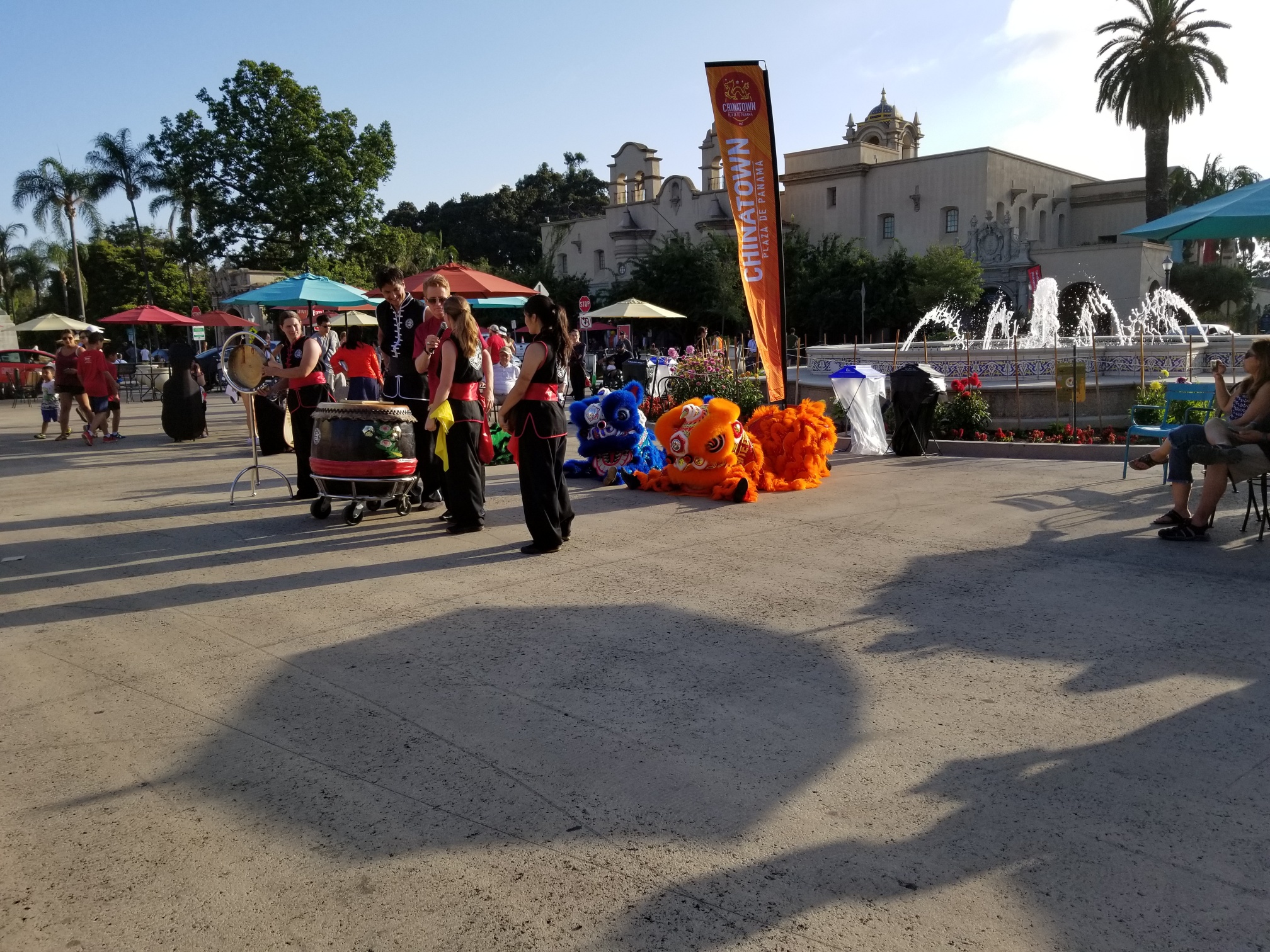
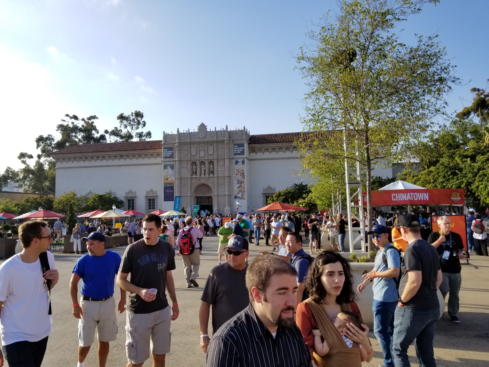
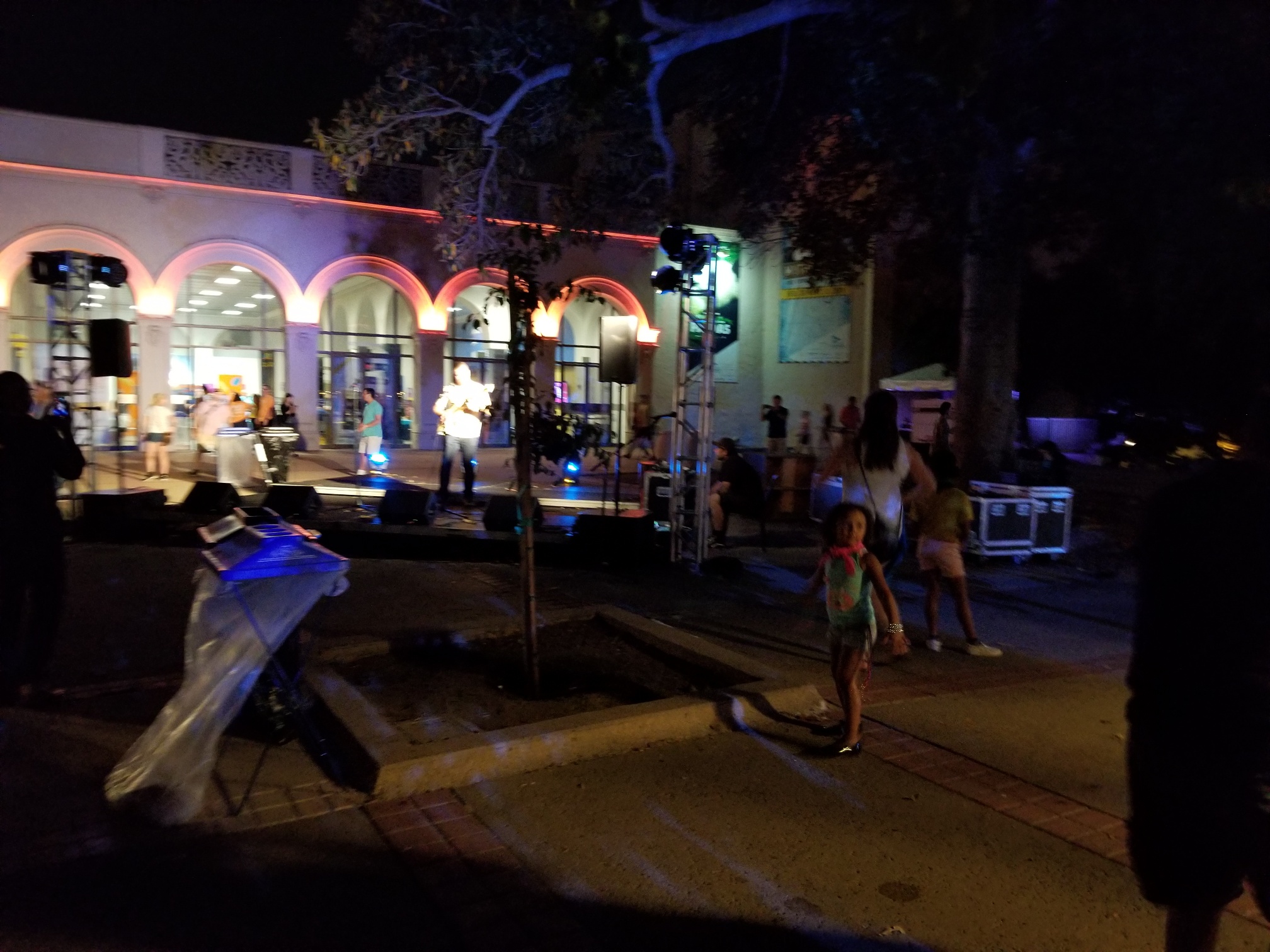
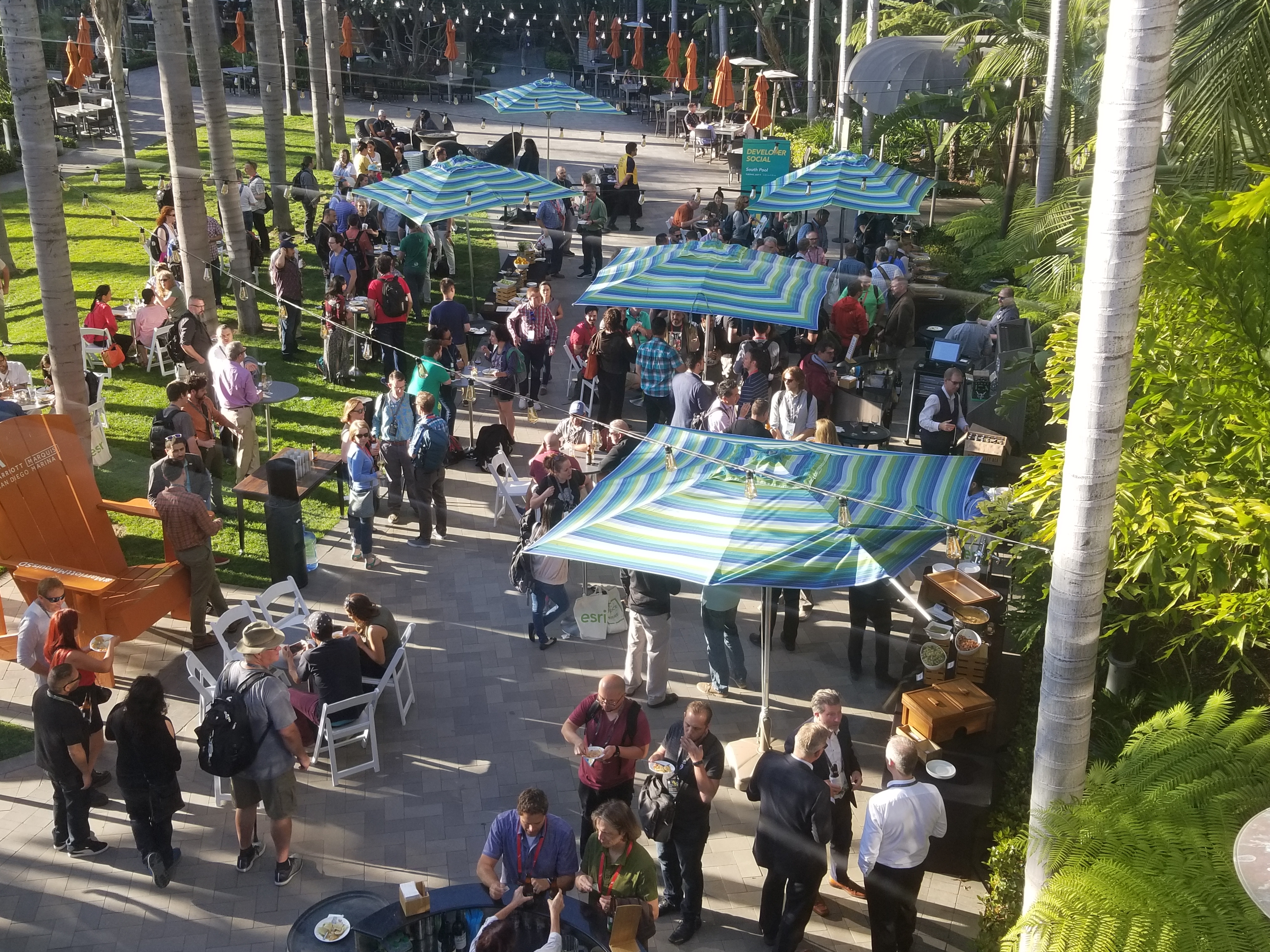
If you’re curious, this is what it looks like when UC attendees take on Downtown San Diego for lunch:
Kevin Eubanks Shares “The Gift”
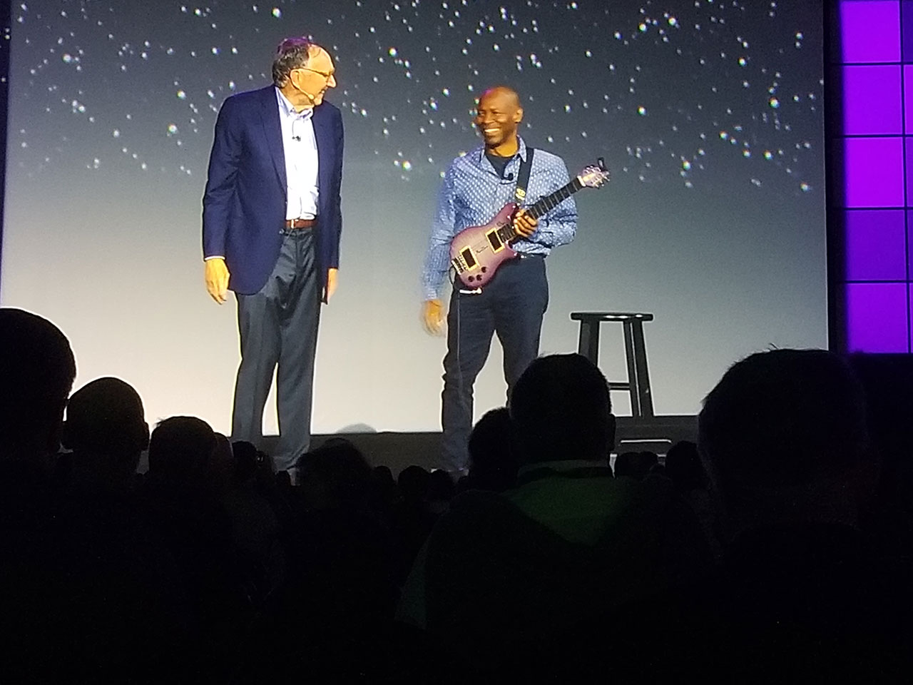
We had a special guest at the Plenary. Kevin Eubanks, musician and former bandleader for The Tonight Show with Jay Leno, performed an inspired song for attendees. Eubanks is a seasoned UC attendee who finds himself inspired by the work of GIS professionals and the natural geography of our world. See the performance.
Eubanks’s performance was a touching reminder of our natural world's beauty. It created a mindset for the conversation and call to action that came from Jane Goodall and E.O. Wilson, two impactful leaders in conservation and environmental advocacy. Goodall and Wilson received what sounded like a waterfall of applause in the convention center when they came to the stage.
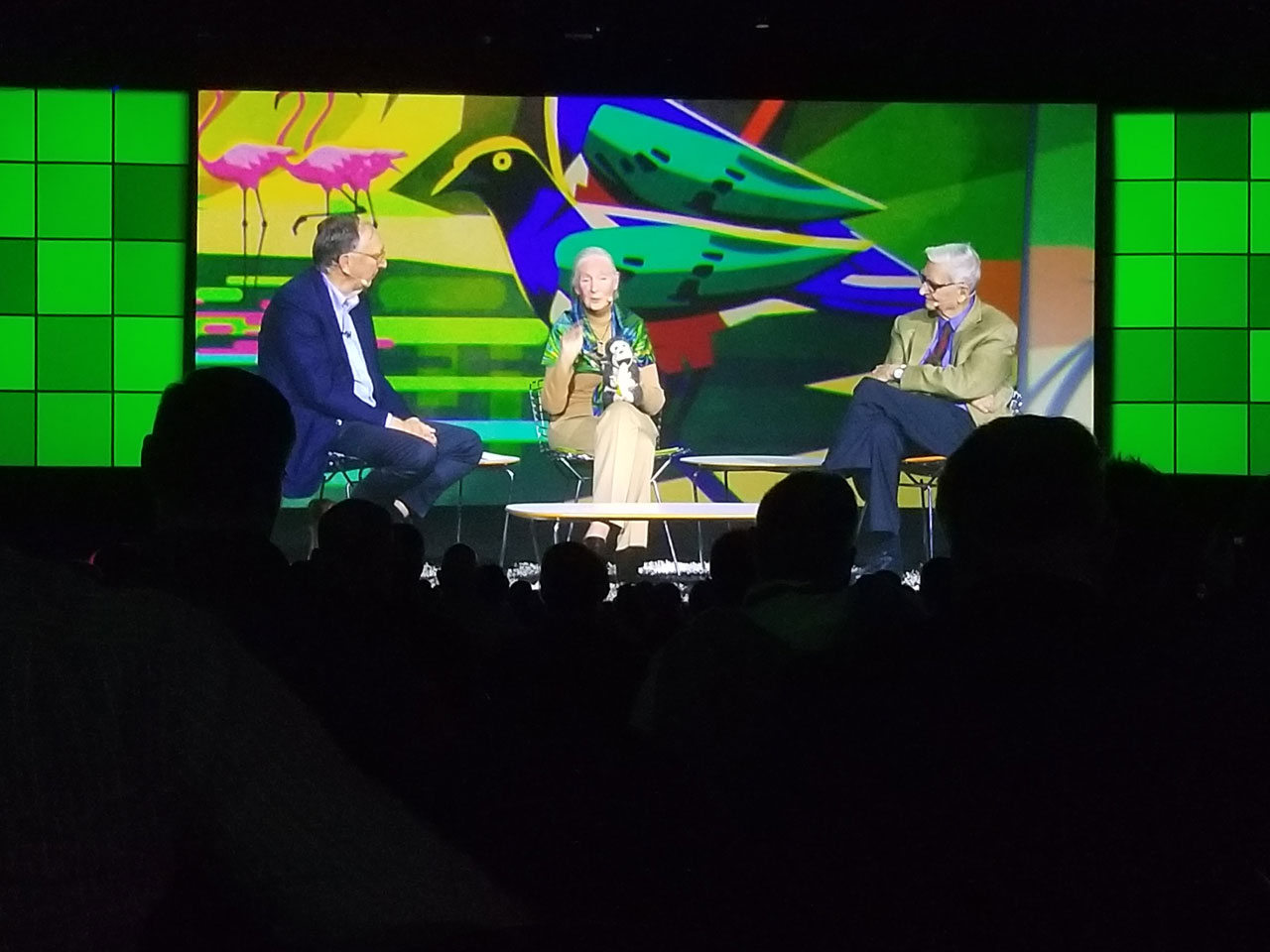
The Future of Our World
E.O. Wilson stated there are three crises we are currently charged to manage: climate change, shortage of freshwater, and a collapse of our ecosystems with a particular concern for species. In response to Jack’s question about the roadmap to address these issues, Wilson responded that more research is needed to understand biodiversity. It’s estimated that 10 million species exist in the world, and we only have identities and characteristics of 20% of those species. Wilson encourages young professionals to close the gap by choosing careers to increase knowledge in biodiversity.
Jane Goodall echoes the call for youth to take action and encourages us to face up to the challenges of our planet. She frames an approach for creating global change by saying the phrase “think globally, act locally” is the worded in the wrong order. By making thoughtful decisions about our actions locally first, we will collectively make an impact on the world every day. As the 39th Plenary came to a close, she led the audience in a chant recited by the youth at the end of their Roots & Toot's meetings in Tanzania: “Together we can! Together we will!” Watch the full conversation.
More highlights:
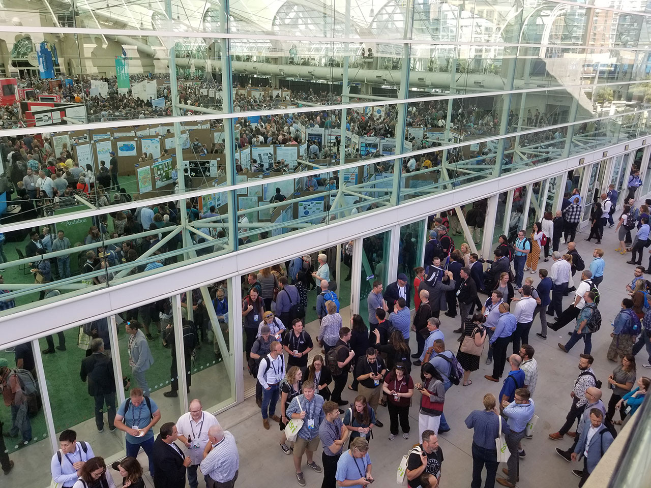
Highlight #1: The Expo Experience at Esri UC 2019
Highlight #2: Maps and Their Makers at UC 2019
Highlight #3: Plenary Focuses on Our Community, Our World
Highlight #4: GeoNet Community Unites, Shares Stories
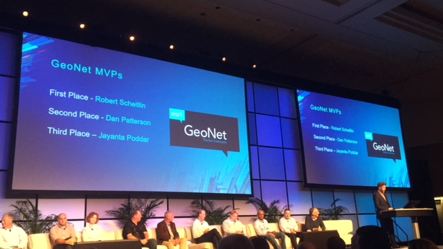
Highlight #5: Stats from UC 2019, Map Gallery and GeoNet Award Winners
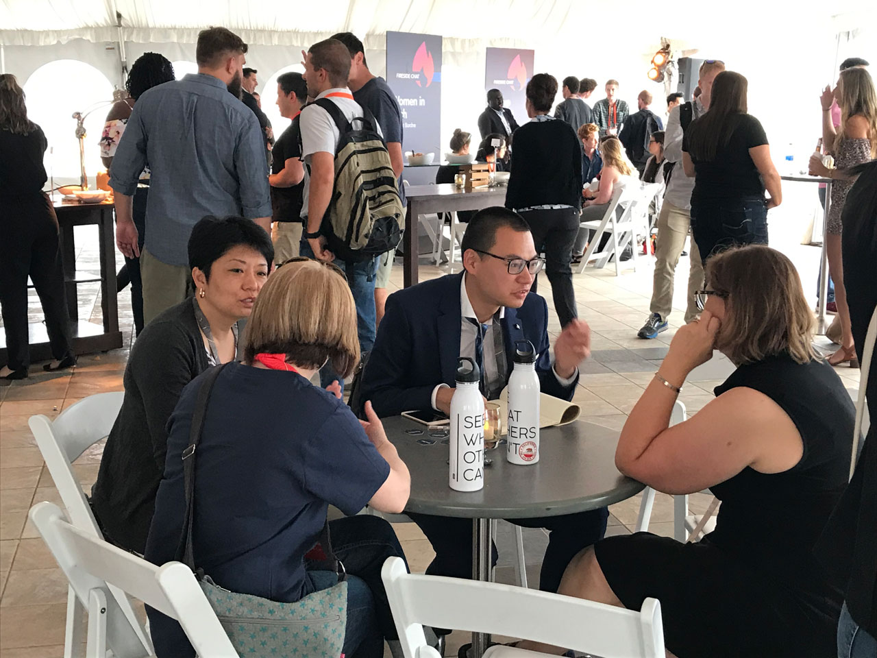
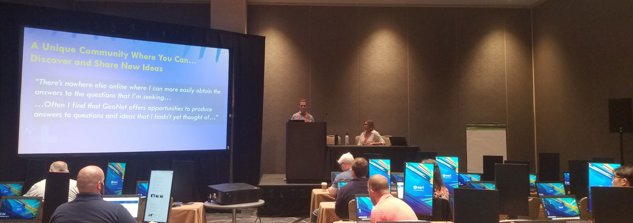
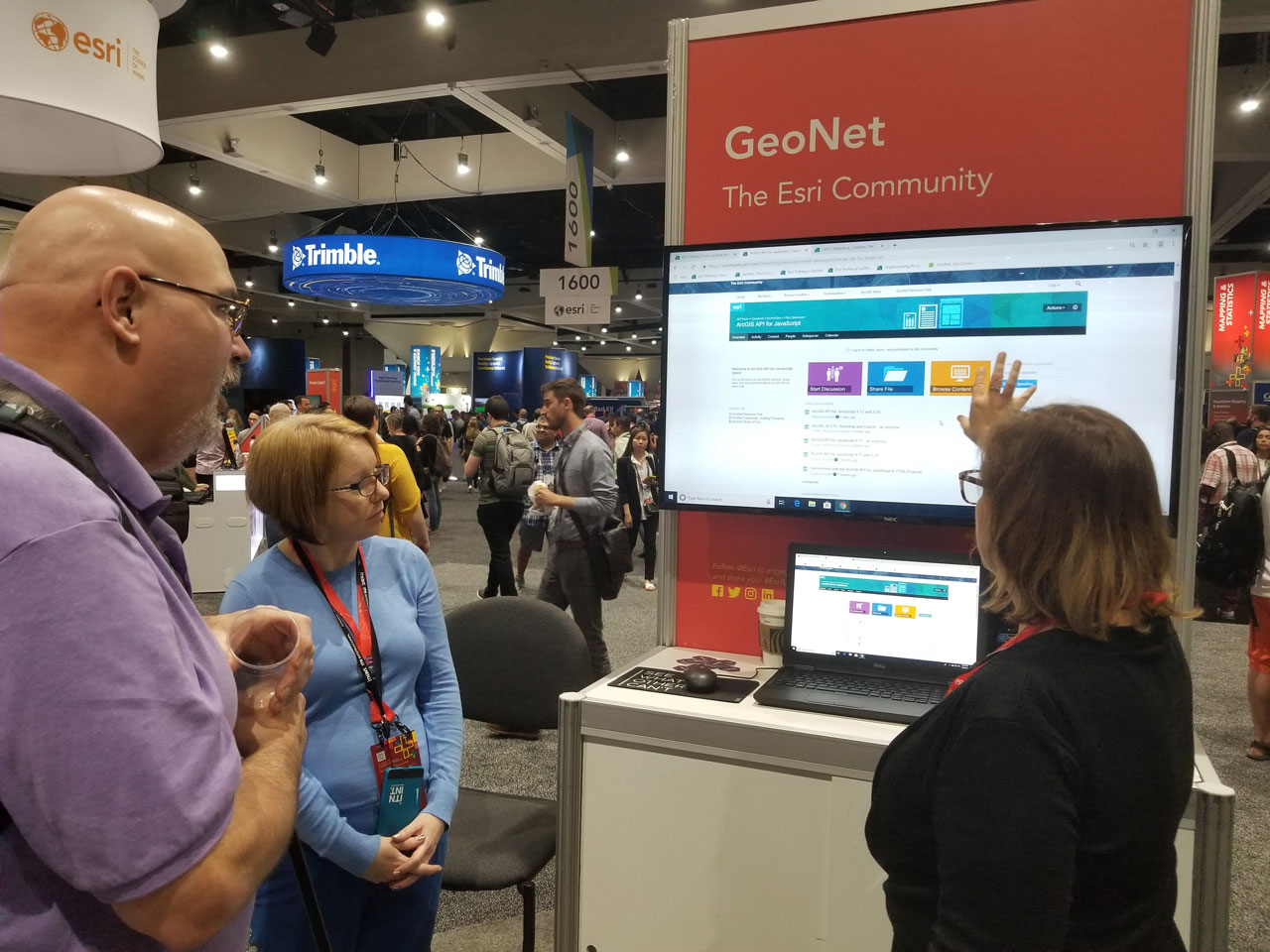
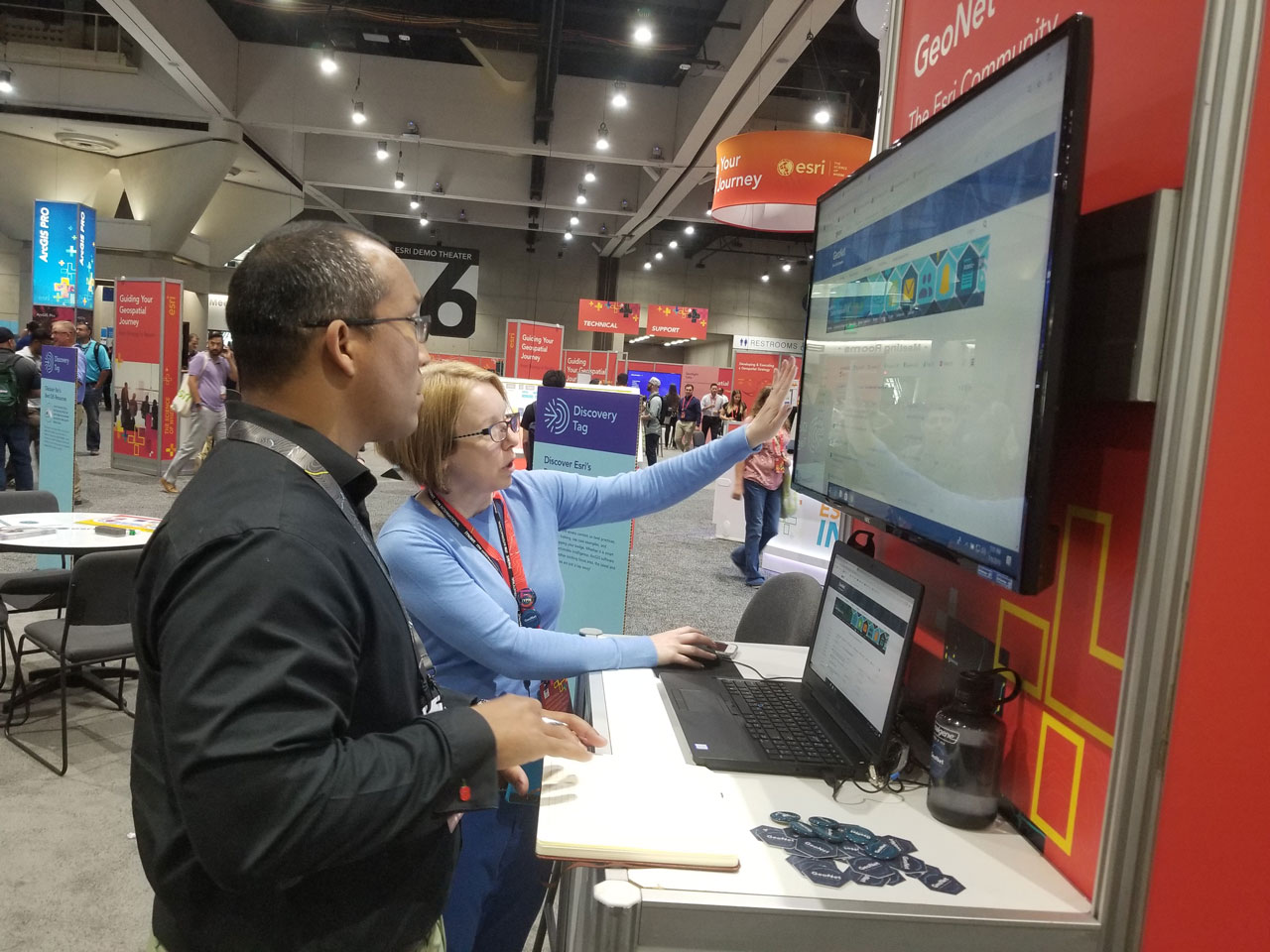
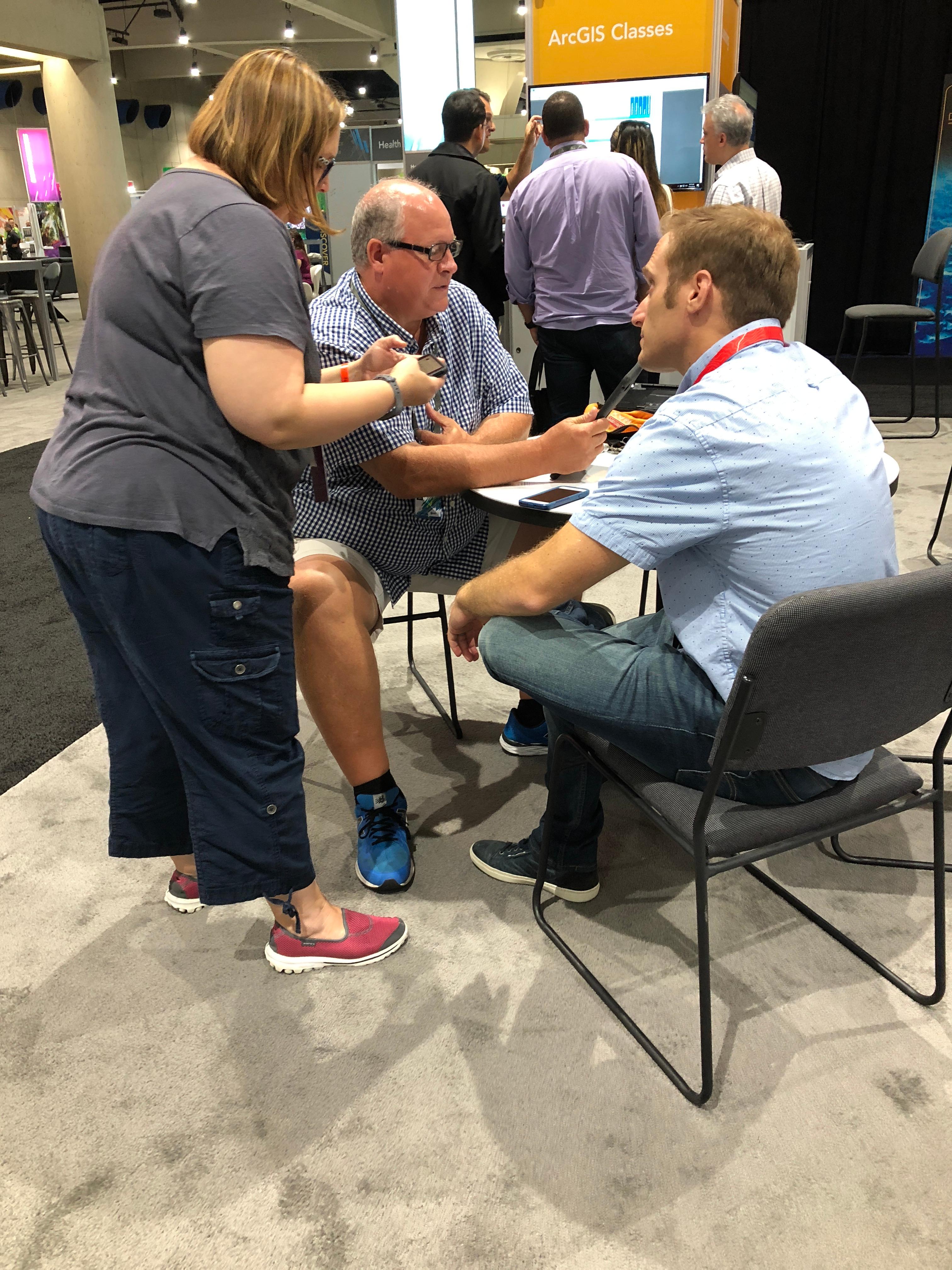
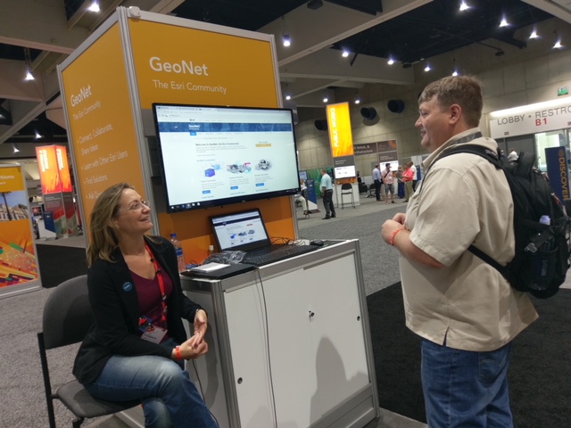
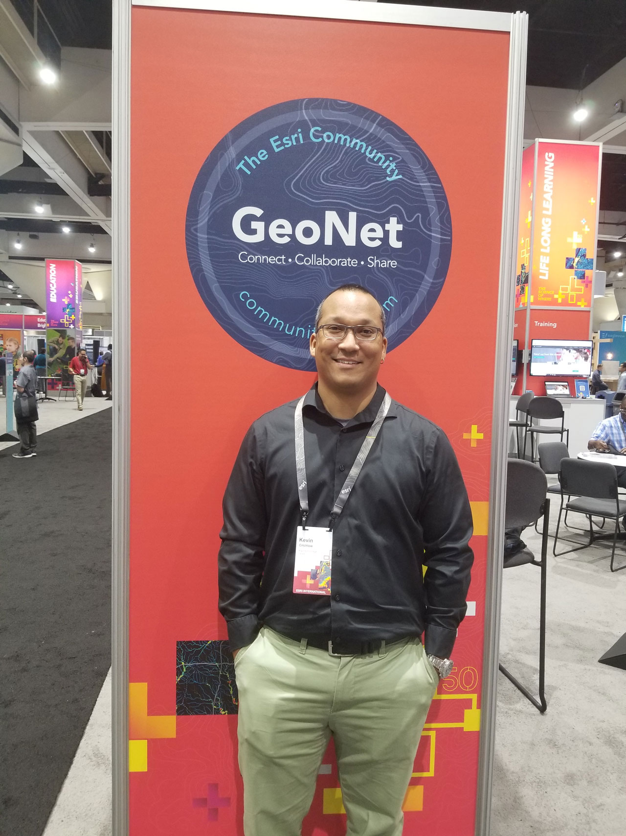 Early in Kevin's GIS career, he started using GeoNet as a college student seeking answers to questions about ArcGIS extensions. Once he dove into the community where dialogue and conversations were happening around products and their new releases, he found GeoNet as a valuable resource for getting answers to common questions when using ArcGIS products. The impression of the community as a key resource for problem-solving stayed with him as he progressed in his career. Now, as a Professor, he's looking for ways to give that same discovery and access to his college students as a part of his educational curriculum. We shared with him about the capabilities of the GeoNet's groups and places to meet his needs.

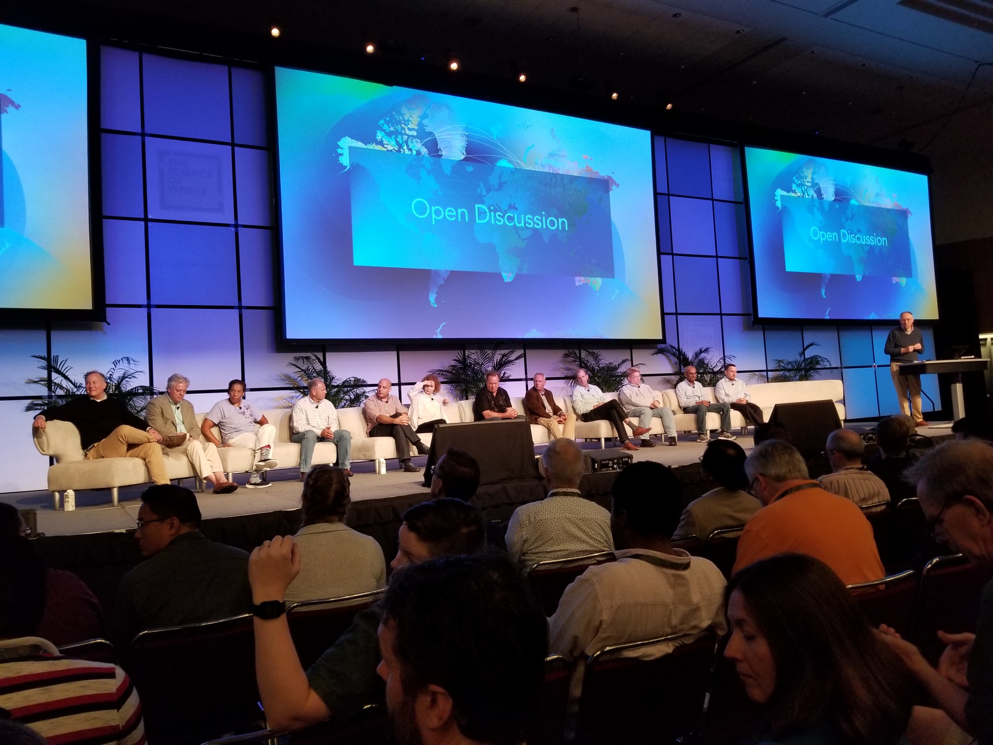 Q&A - Open Discussion