Today is full of exciting user sessions and workshops. We have picked a variety of topics to provide a live update on. Check back often as we add updates from the events we attend.
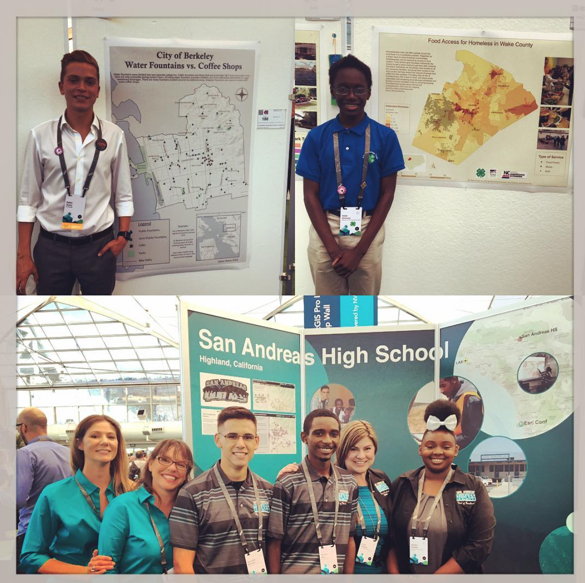
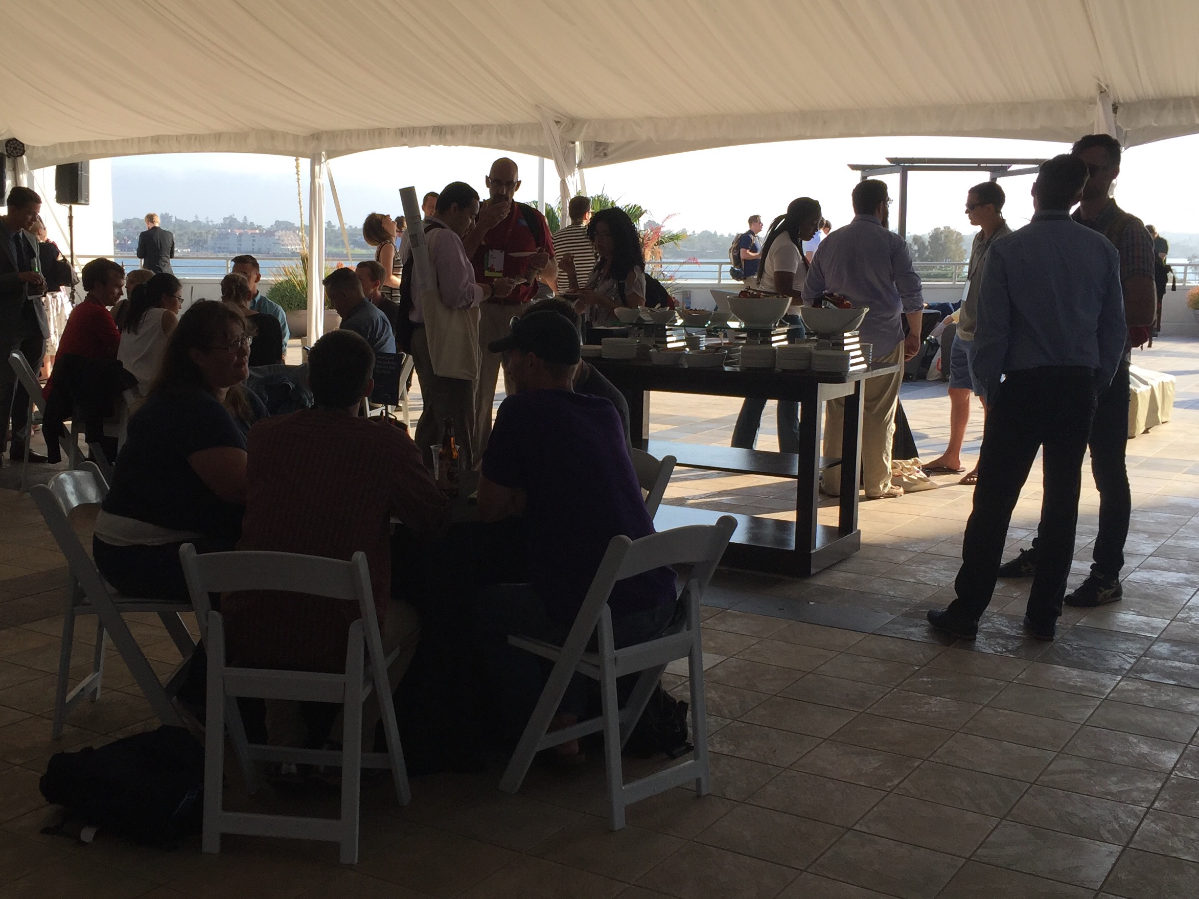
Education (Education) - Self Organized Sessions (Un-Conference)
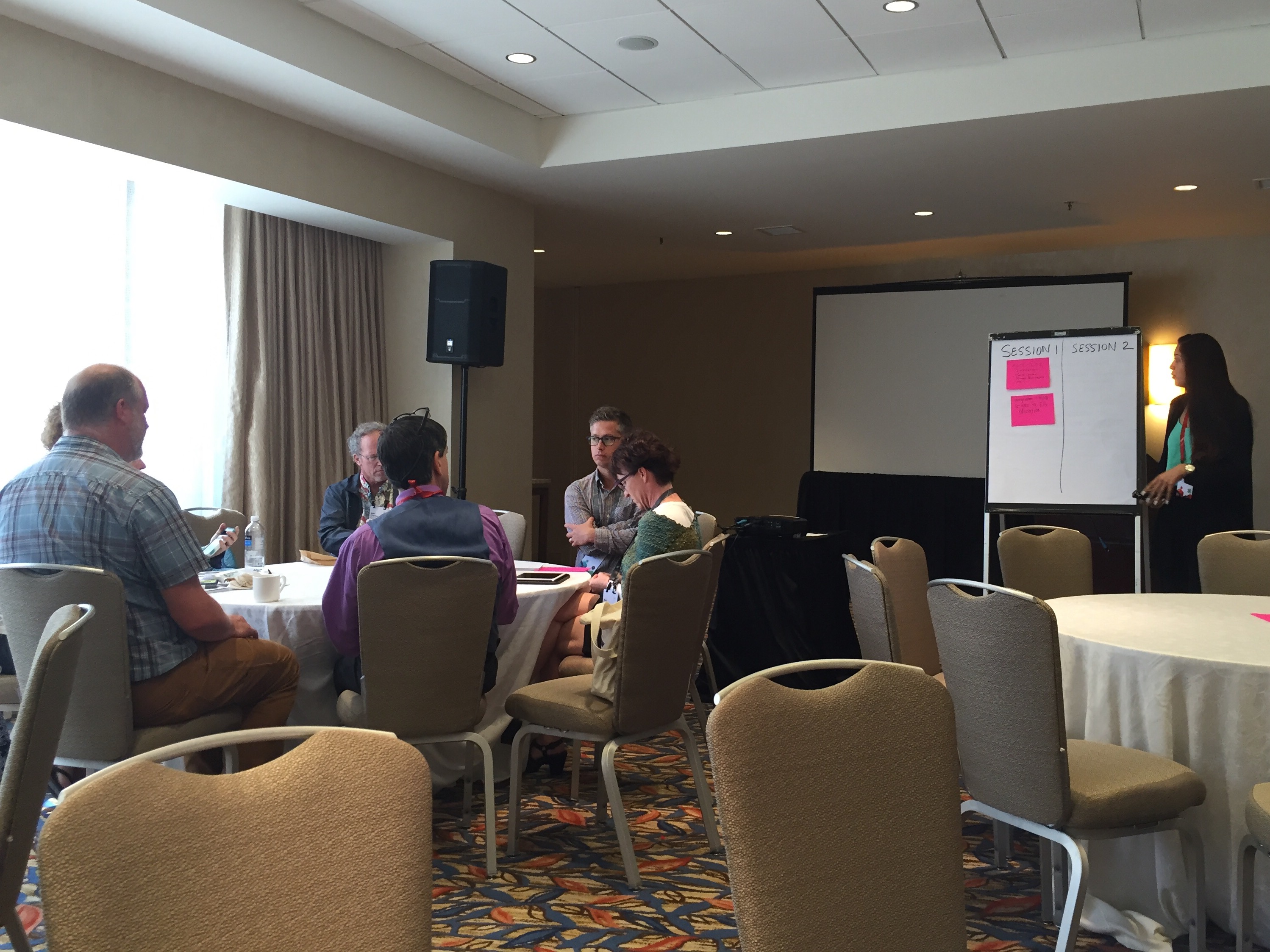
The session began by opening the floor to topics from attendees. Discussion tables were formed based upon the topics.
I am sitting in on a citizen science discussion. What is citizen science you say? It ok I had a general idea but looked it up on Google.
Citizen science (CS) (also known as crowd science, crowd-sourced science, civic science, volunteer monitoring or networked science) is scientific research conducted, in whole or in part, by amateur or nonprofessional scientists. - Wikipedia
At the end of the time allotment, we shared a few take aways from each group:
ArcGIS Online with LMS/CMS Integration
Learn with story maps
Workflow for sharing maps beyond the project
Process for evaluating student work
Next Step: Surveying Educators
Helping Students Learn Resources
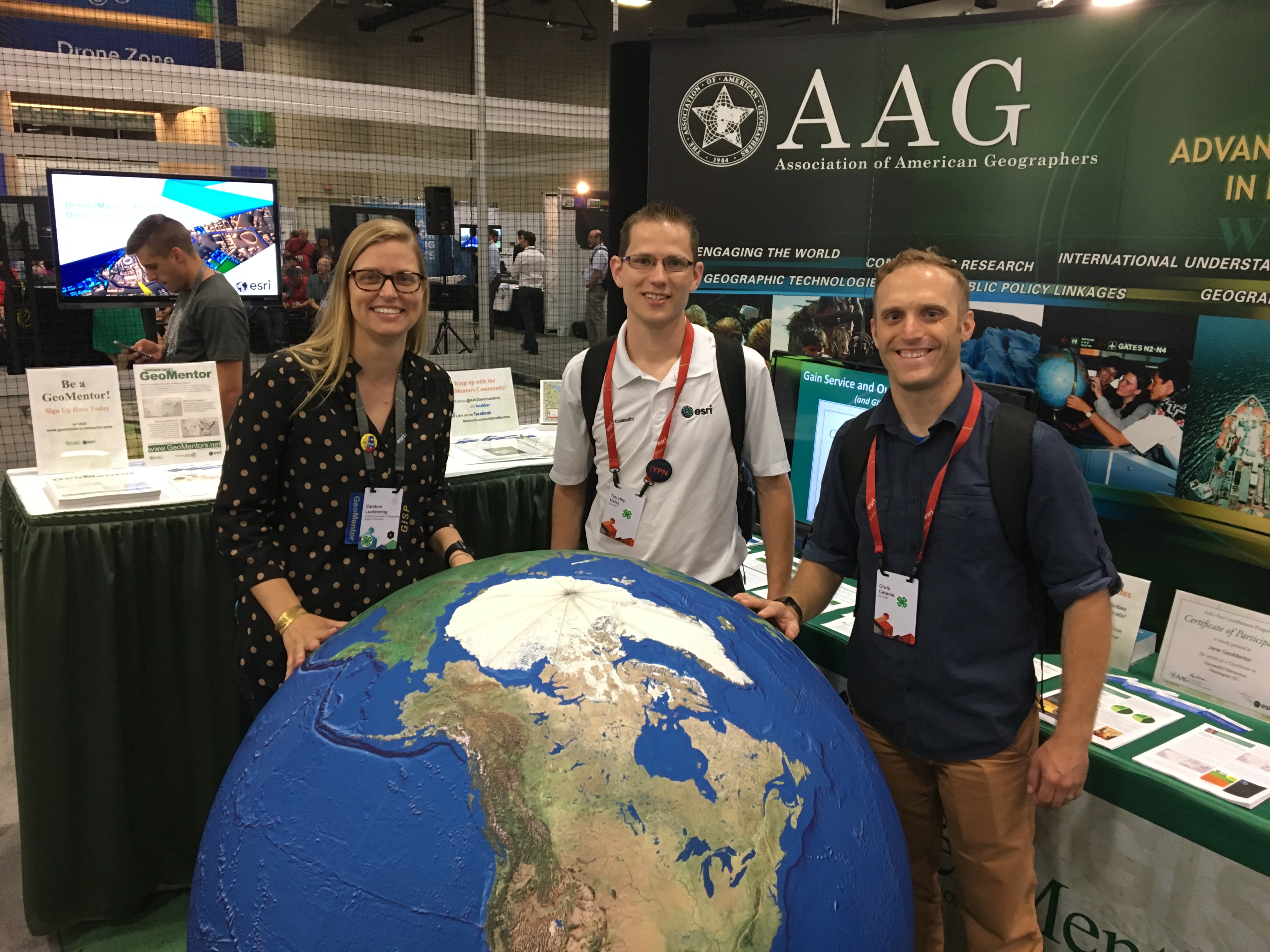
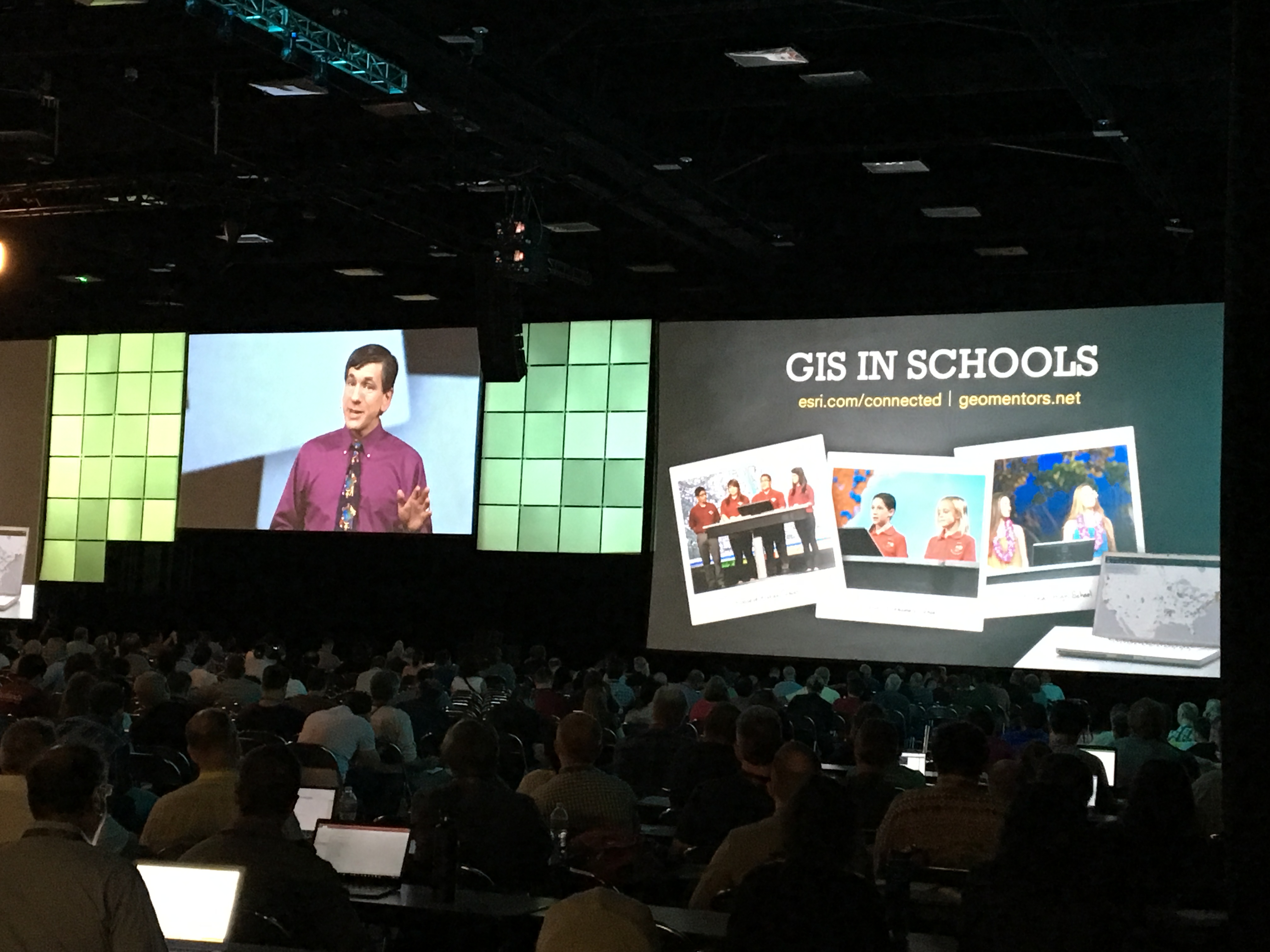
GeoMentors - Bridging the gap between educators and mentors. Setting the expectations to help get the GIS knowledge on the student's level.
GeoMentor/Teacher Workshops
Next Step: Sharing Resource
Resources for Citizen Science
Connecting with agencies/organization to identify real-world problems
Individual project vs mass participant projects
Problem Solving vs Project Based
Making an action from results of the project.
Identifying problem templates to create reusable lessons
Next Step - Collaborating with others. Possibly using GeoNet for collaboration and as a repository of information.
GIS Managers' Open Summit
by Christopher Catania
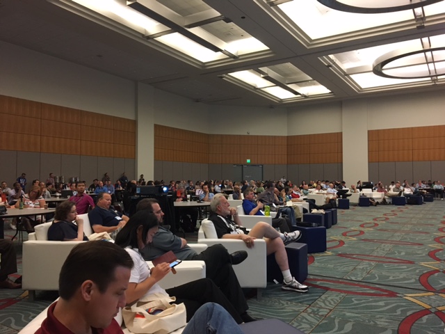
I'm excited to kick off day two of User Conference 2016 with updates from the morning session of the GIS Managers Open Summit. It was fun to be a "fly on the wall" to see what hot topics and trends are top of mind for GIS managers.
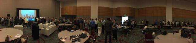
I walked into Ballroom 20A to the welcomed buzz of conversations as the event started with an engaging speed-networking session. GIS managers formed a big circle around the room and rotated every 5 minutes. What a great start to the day attendees made new connections, share stories and expanded their professional GIS network.
Keith Cooke took the stage first as he dove right in to share the vision and purpose for the day.
Keith encouraged GIS managers to rethink their role and how they approach sharing GIS within their organizations. "A lot of time I don’t bring up GIS directly. I encourage you to talk differently about GIS too; incorporate and share GIS workflows that make sense to your audience and explain how GIS fits into the natural flow of business."
Keith wrapped up by encouraging managers to set aside time for ongoing education and to keep growing their practical GIS knowledge and challenge themselves to create to new creative ways to explain how to use the platform. "You need to use your GIS knowledge and continue to understand how it fits into the broader picture. Your job is not to be the gatekeeper. Your job is to empower your business partners. You should be like a doctor and know how to assess, diagnose and apply a GIS solution into the mix to solve the problem."
Keith handed the floor to Adam Carnow who took the stage to give a preview of the summit's case studies.
Adam shared how Walgreens is using GIS to power the Flu Index Indicator and identify competitor locations. Adam was excited about the impact of the GIS platform in the Walgreens case study but he also stressed underlying message, which was the evolution of the GIS manager title. He pointed out that Jillian's title doesn't even mention "GIS" and her title is more aligned with the trends of business intelligence (BI) within organizations.
Adam explained that Jillian's title represents an important shift that is happening in the industry and needs to happen on larger scale for other GIS Managers. He explained that the Walgreens business can't run with GIS and that one of the reasons GIS has begun to be adopted into Walgreens so successfully is because of how GIS has been reframed more as "location intelligence" instead of just a geographicly-based technology.
Adam closed by asking key questions and sharing these thoughts:
- Do we need to rebrand GIS to "location intelligence?"
- How do we embrace new business trends and evolve the role of the GIS manager?
Big thanks to Adam and Keith for letting me experience the meeting. It was a pleasure to soak up the GIS info and I had a chance to better understand how the GIS manager role is evolving and where the industry is going. I look forward to seeing how the rest of the GIS Summit discussions develop during the day.
If you attended the GIS Managers Open Summit, we invite you to share your thoughts and experiences in the comment below!
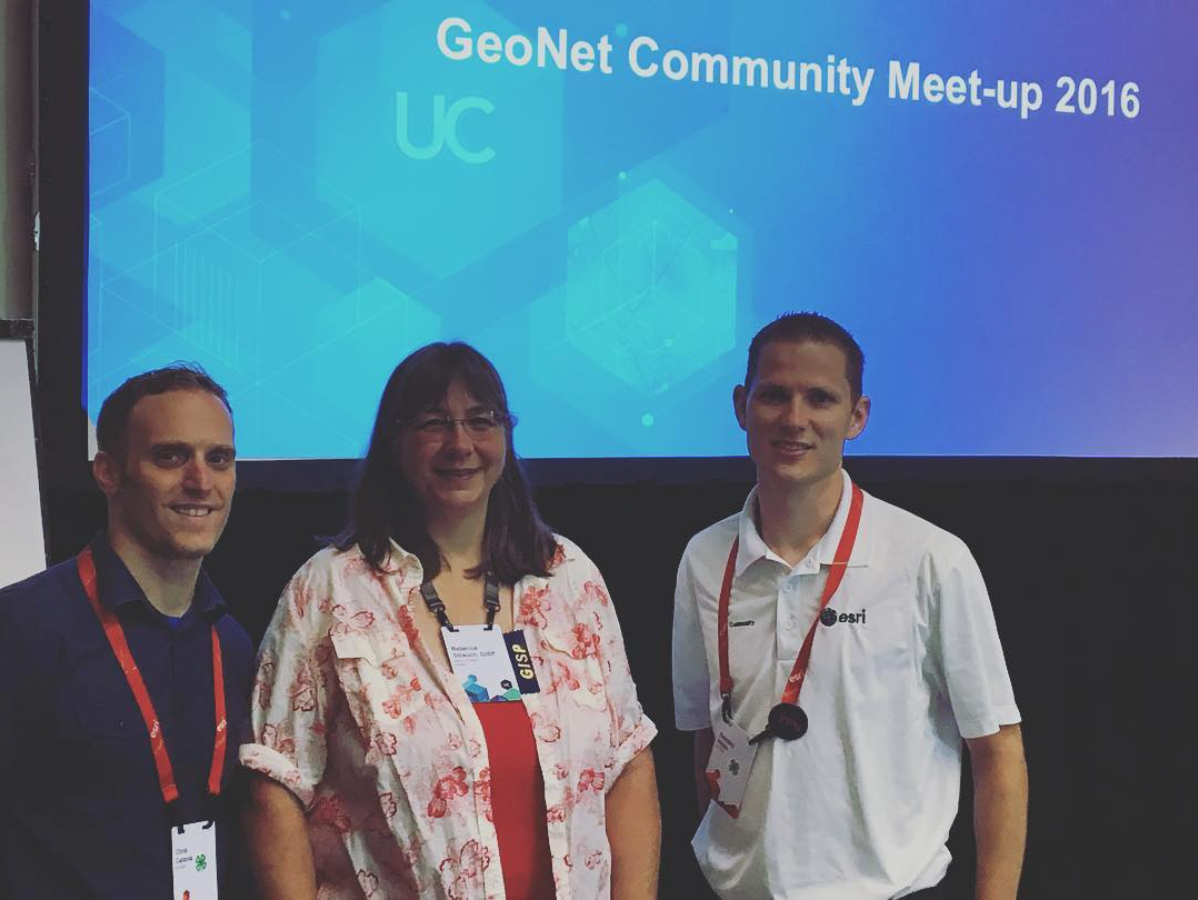
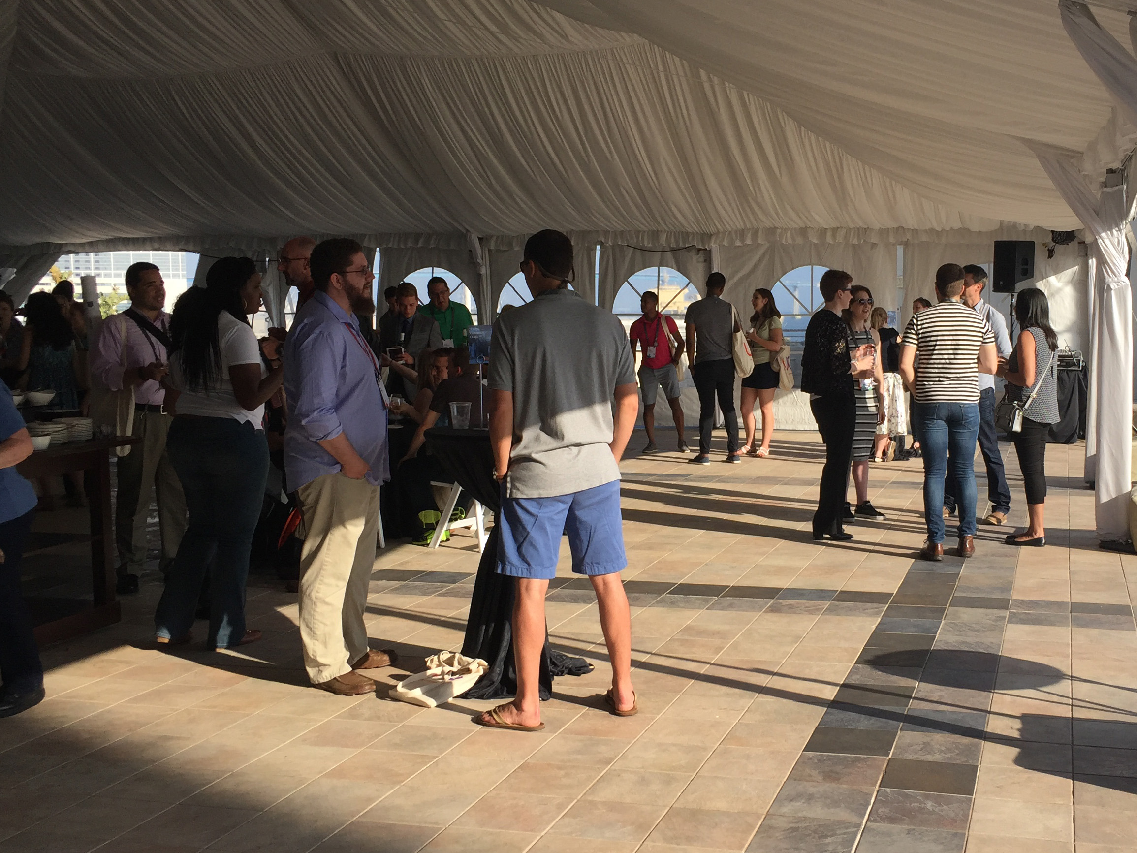
GeoNet Community Meet-up
by Chris Catania

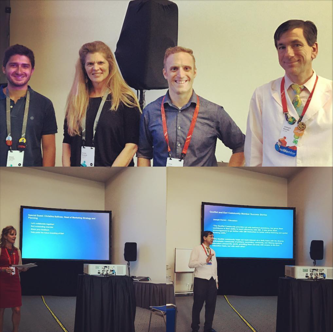
We hosted our first of three GeoNet Community meet-ups today. It was great to see and meet with community member Adrian Welsh as he shared what he enjoys the most about GeoNet and contributed to the collaborative discussion we had about the Esri rebranding project.
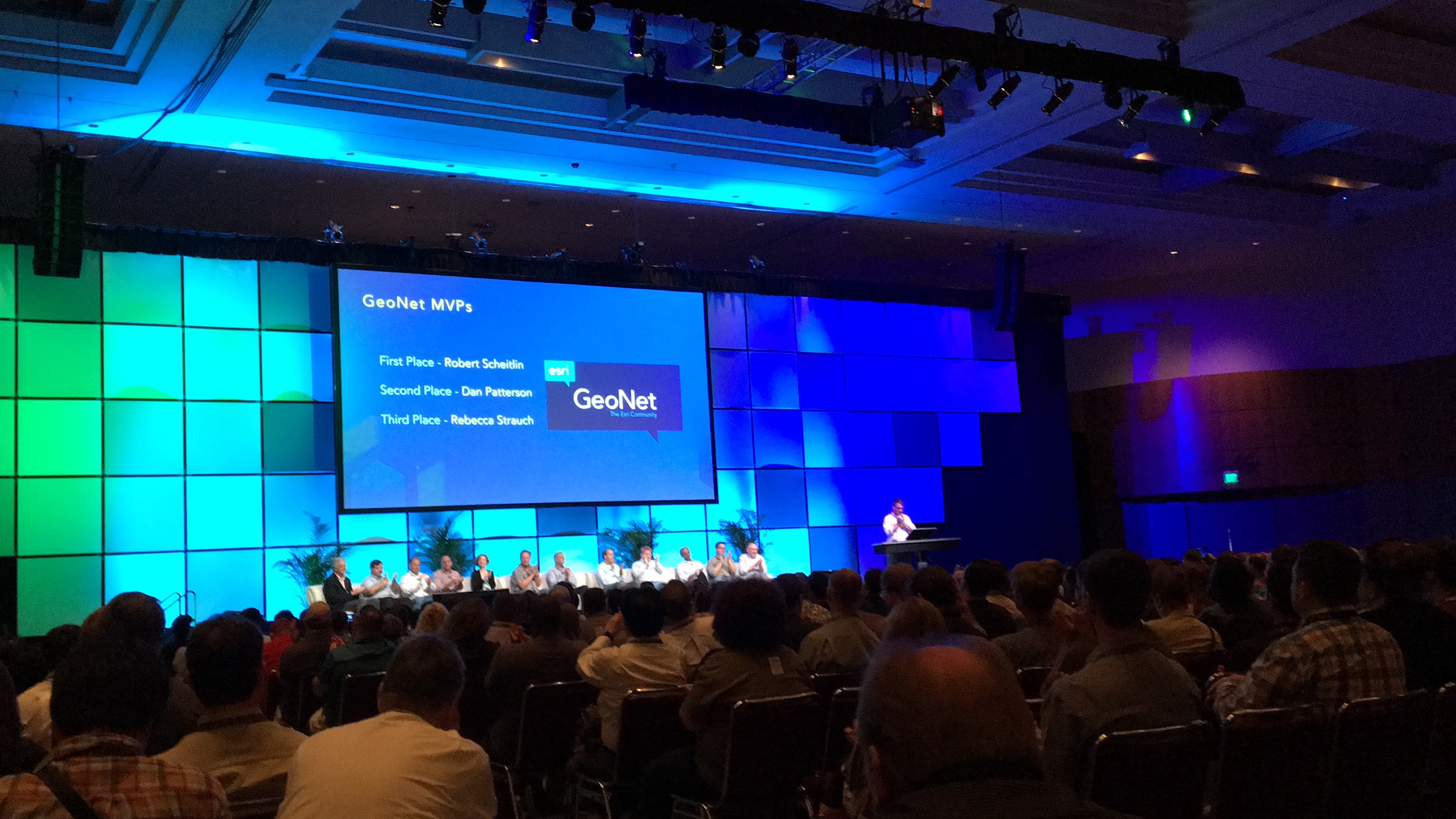
During the meet-up we shared stats and GeoNet community success stories such as this one from Robert Scheitlin, GISP:
"For me it has been a way to get feedback/input on widget design and functionality for the widgets I have made. Speaking for other members it allows them a centralized place to ask questions and provide input/suggestions on widgets and the WAB product in general."
"We as a community have seen changes in the software based on threads in the Web AppBuilder Custom Widgets group and the development staff participation in this group. I have seen and been involved in several collaborations for widget development that would probably not have occurred if it not had been for the connections to other members in the group."
To see the other stories and stats from the meet-up, you can download a copy of our meet-up presentation deck here.
We're looking forward to the next meet-ups tomorrow and Thursday.
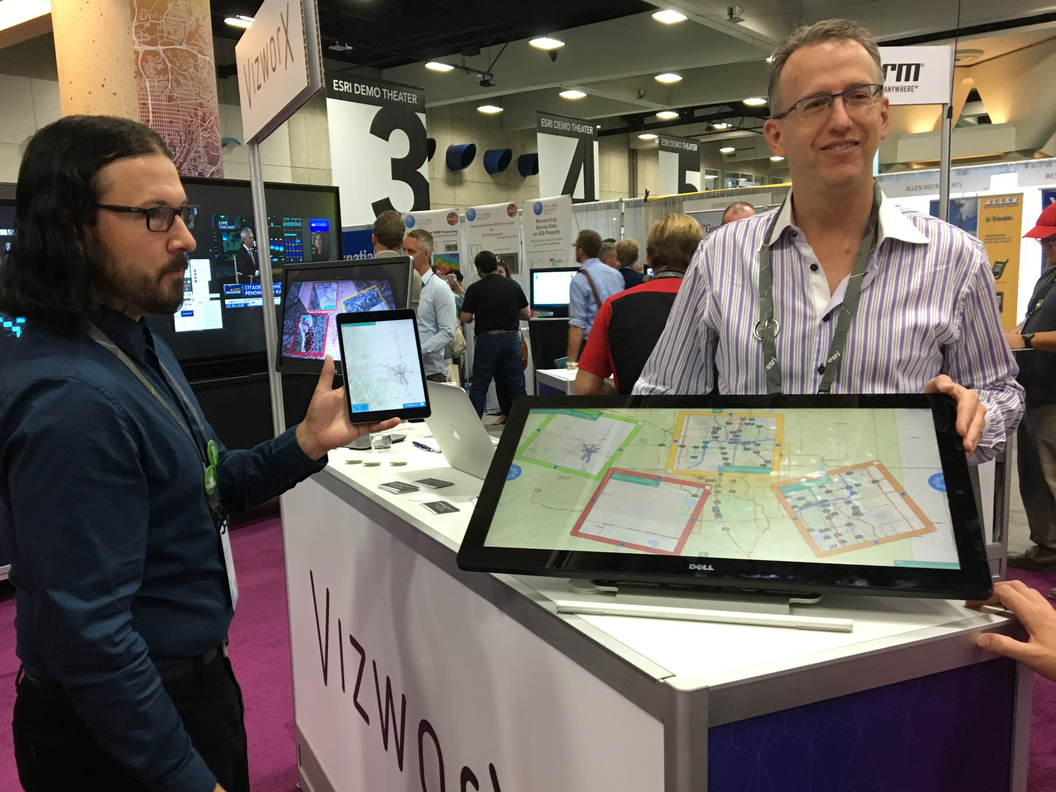
UC Expo: Platform Enablement lightning talks
Editor's note: This update comes from the Platform enablement team. Thanks for sharing the update with us on the UC live blog!
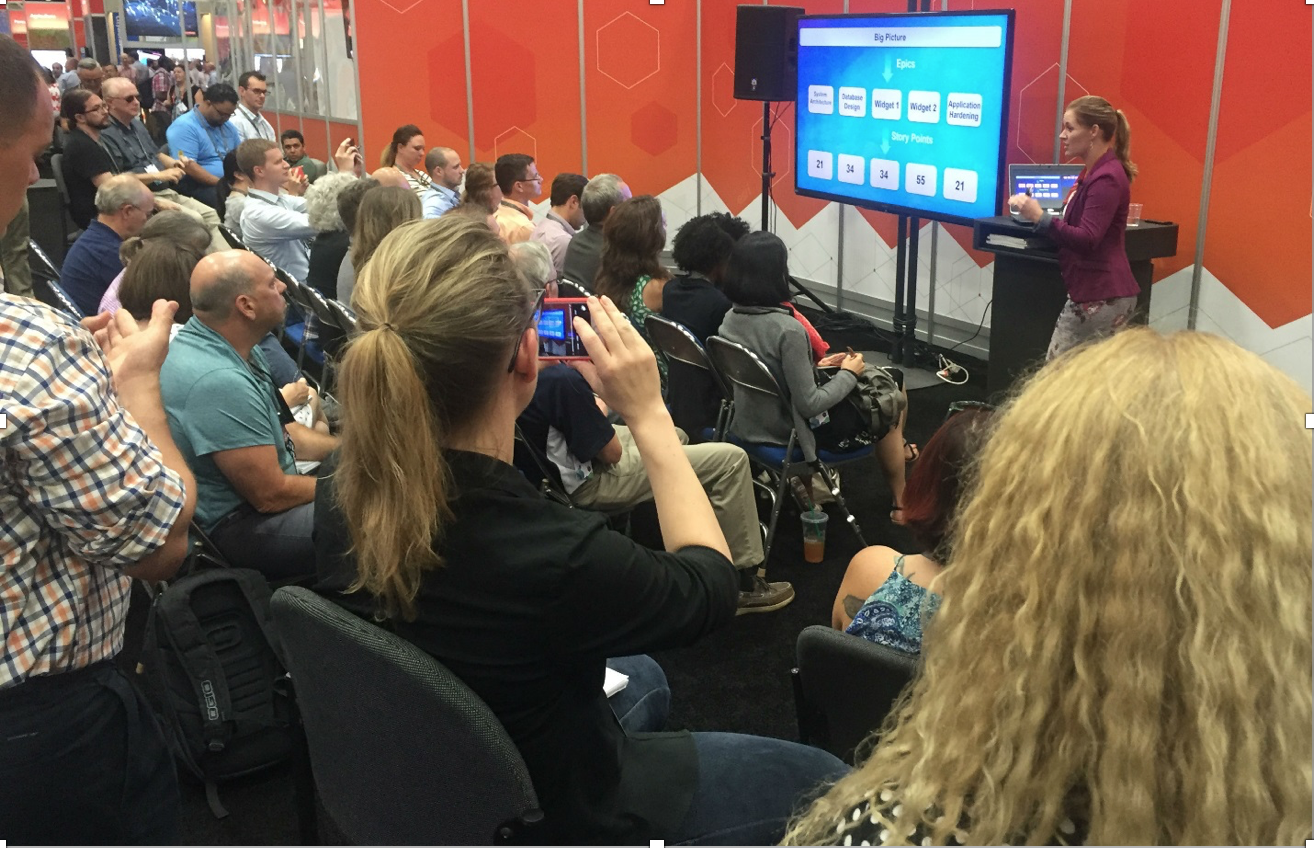
The new ArcGIS Platform Enablement area at the UC Expo was greeted by overflow crowds today from the moment the Expo opened, through the first 9 lightning talks.
Topics covered the gamut, everything from writing successful RFPs to building security into your GIS, users took advantage of the venue to get a close-up perspective and some hands-on guidance from Esri professionals.
The Platform Enablement area pulls together experts from Esri services to provide a one-stop venue to help users with their ArcGIS platforms. The area is divided into kiosks, with the lightning talk area adjacent. The six kiosks:
- Strategy & Planning
- Architecture & Security
- Geodata Engineering
- Configuration & Integration
- Training & Certification
- Premium Support
Agile Project Management, presented from Lana Tylka(photo above), was one of today's platform enablement lightning talks. Tomorrow’s talks kick off at 9:30 with a reprise of the popular “Tips for Writing a Successful GIS RFP.”
Did you stop by the Platform Enablement area today? What did you think of the area and lightning talks? Thanks for sharing your experiences and we invite you to stop by tomorrow.
That's it for today! Thanks for following along on the UC updates and stay tuned for tomorrow's updates and Day 3 conversation.
.jpg)