Each year Esri invites both Esri staff and users to share their expertise and inspire others with their work in GIS. This year we will have more than 1,900 presenters at the User Conference. All the presenters are beginning to prepare for their part at UC in their own unique way, so I decided to ask one of our most experienced presenters, Derek Law to share his insights with us.
________________________________________________________________
 Q: How long have you been a presenter for Esri’s conferences?
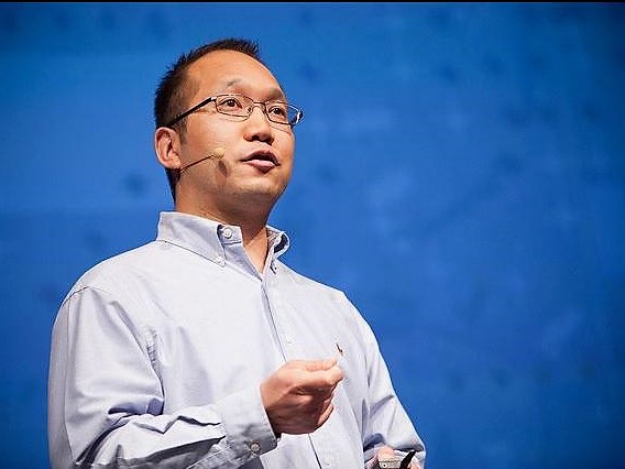
Derek: I’ve been a presenter for 17 years. I’ve presented at the User Conference, Federal User Conference, Esri Partner Conference, Developer Summit, Petroleum GIS Conference, Health and Human Services Conference and some international conferences for both general audiences, and Esri Distributors.
Q: What has been your most memorable moment at an Esri conference?
Derek: This actually happened at last year’s conference. I was doing a demonstration with my smartphone, and I needed to switch to my computer. I put my phone down, and it popped up my lock screen. I didn’t know that it was still displaying, so everyone in the room saw my password. I made a joke about it at the time, but I remember asking KC and the video team afterward if they could cut that part out of the video. So embarrassing.
Q: What do you do to prepare for a presentation?
Derek: First, I make sure that I know my material and know my slides very well. Then, I practice. I try to find people that are experts in what I am presenting on and I sit down with them and go through the presentation to see if it makes sense to them.
Also, if I can, I try to find someone that would be in the audience and practice on them to make sure that I am explaining things well, and that they understand what is going on.
A lot of the time I present on pretty complicated topics. They aren’t intuitive, they don’t have exciting demos like a 3D flyover or displays, so I try to make them fun. I try to engage my audience in other ways and make it more of a conversation. Usually, I’ll start with an overview of a concept and then go into more details. Twenty minutes into the presentation I’ll ask an open-ended question and ask them to raise their hands to see if the audience is paying attention. I look at their faces, see how many people are raising their hands for the questions, make sure no one is sleeping. If they are not asking me questions then I know they are not engaged and I need to do something different.
Q: What advice can you give to our user presenters?
Derek: You can’t dump all of your material and information out all at once. You have to break it up into subjects, into digestible pieces. And you need to make it fun. If people aren’t having fun then they won’t walk away with much.
Also, remember that no one is perfect. If you make a mistake or something goes wrong make a joke of it and move on. Don’t try to lie if you don’t know the answer to something. Just tell them, “You know, I’m not too sure about that. But please see me later and we can follow up.”
I also recommend going to the Presenter Resource Center. I use it as a quiet space to work and update slides or practice the presentations. They also have people there that can help you with your presentation and give you feedback. If you can, also try to go into the room you’re presenting in beforehand to make sure you know the layout and get a feel for the room.
 Q: What is the biggest mistake people make either preparing for a presentation or during the presentation itself?
Derek: Too much content, not enough time. You have to practice it and talk it out loud to get a sense of the timing. One of the things I really hate is when I go into a presentation and I hear, “We have a lot to cover today, so we will not be taking any questions.” No, that’s the completely wrong way to approach it. That means you are going over way too much and you need to reduce the content.
Q: What kind of sessions do you like to go to?
Derek: I like to go to the sessions where users are explaining how they solved a problem with our software. Last year, I went to a session where people were using Web AppBuilder for ArcGIS. Normally, it is used in mapping applications, but this research group used it to help blind people. They would sit down with someone and say “Ok, you want to go from Point A to Point B,” and it would calculate the route to go there from a blind person’s perspective. So it would say, “You will go 20 feet forward, and then your stick will hit a curb, and then you’ll turn left until you feel the edge of this building” and I thought that was just so creative and such a great use of our software that I would have never thought of.
Q: Do you have any final thoughts?
Derek: I think this conference is great for anyone working in GIS. It will pump you up, and you just feel the energy as soon as you walk through the doors at the Plenary. You get this great snapshot of the GIS community and what's going on around the world. And, there are people there from across hundreds of different industries. Everyone should go at least once because you are going to meet someone just like you there. Whether you work for a one-person organization, a medium-sized or a large organization you will definitely find people like you at the conference to connect with and be inspired by them for your own job.
________________________________________________________________
I want to give a huge “Thank You” to Derek for interviewing with me. Be sure to catch one of Derek’s presentations at this year’s conference.
Our user presenters can find more information on our Presenter Resources page here on GeoNet, and please be sure to check out the presenter resource center during the conference (I’ll see you there!).
Tips from Derek:
- Go to the Thursday Night Party, but get your wristband early
- List out three things you want to learn, look at the agenda, and get a rough idea of the sessions that will teach you those things
- Look to see if things are offered more than once
- Wear comfortable shoes
- Bring a water bottle
- If you have a list of questions to get answers to, go to the expo early. It gets really busy by Thursday morning
- Get Esri employee business cards so you can follow up after the conference
For Discussion:
Now that you’ve heard the advice from one of our Esri presenters, what are your best presentation strategies?
 In San Diego
 The GIS Managers’ Open Summit (GISMOS) is an all-day interactive experience followed by the new
 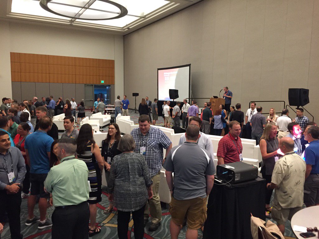 ho should be attending this summit?
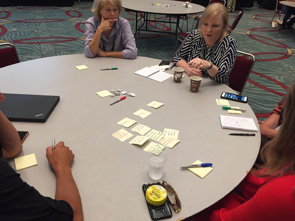 GISMOS is not just a day of inspirational presentations. The emphasis is also on networking and the interactions between participants.
 What is certification testing?
  What is the Esri Science Symposium?
 How is the reaction panel of experts chosen?
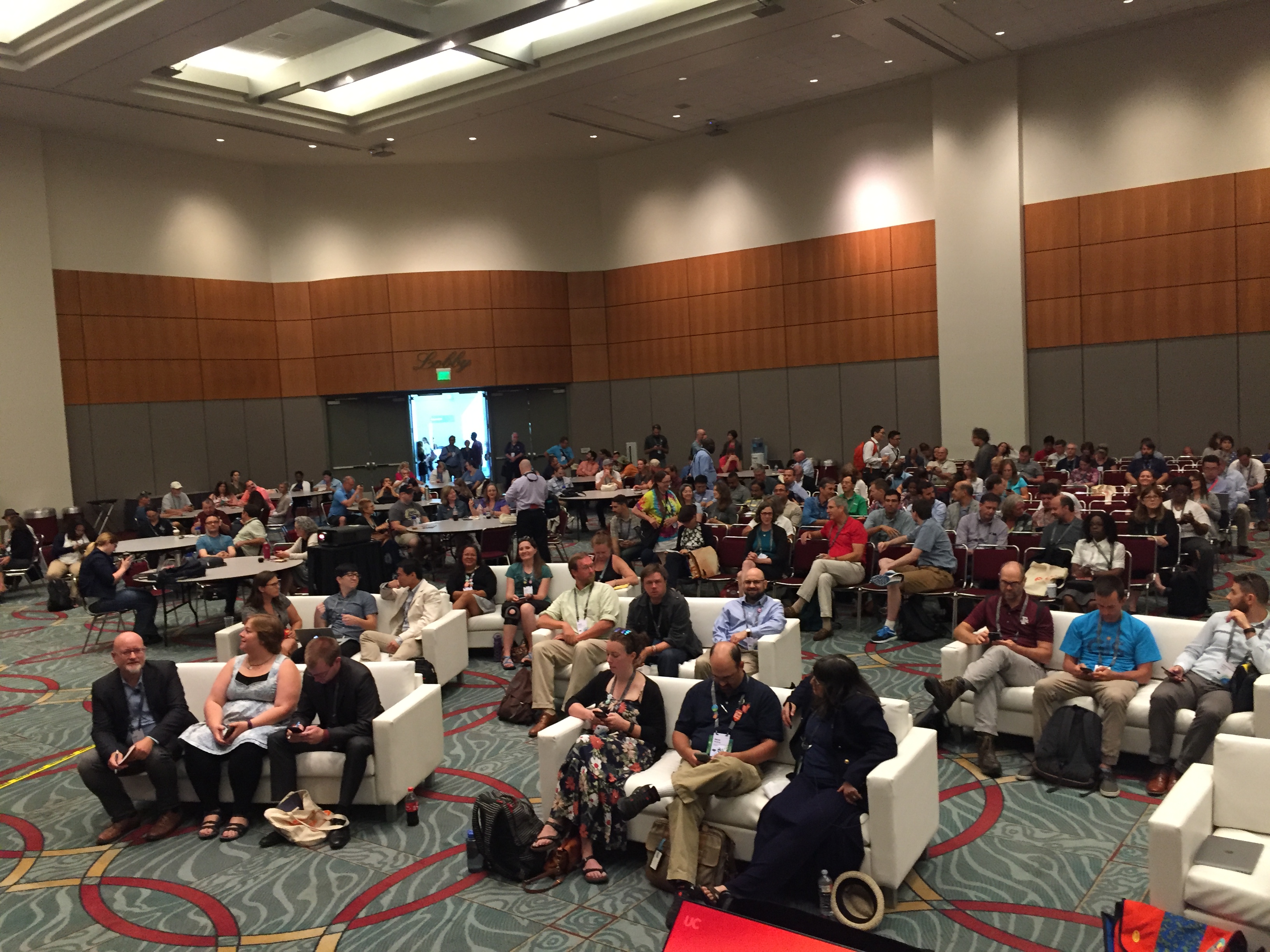 Who should attend?
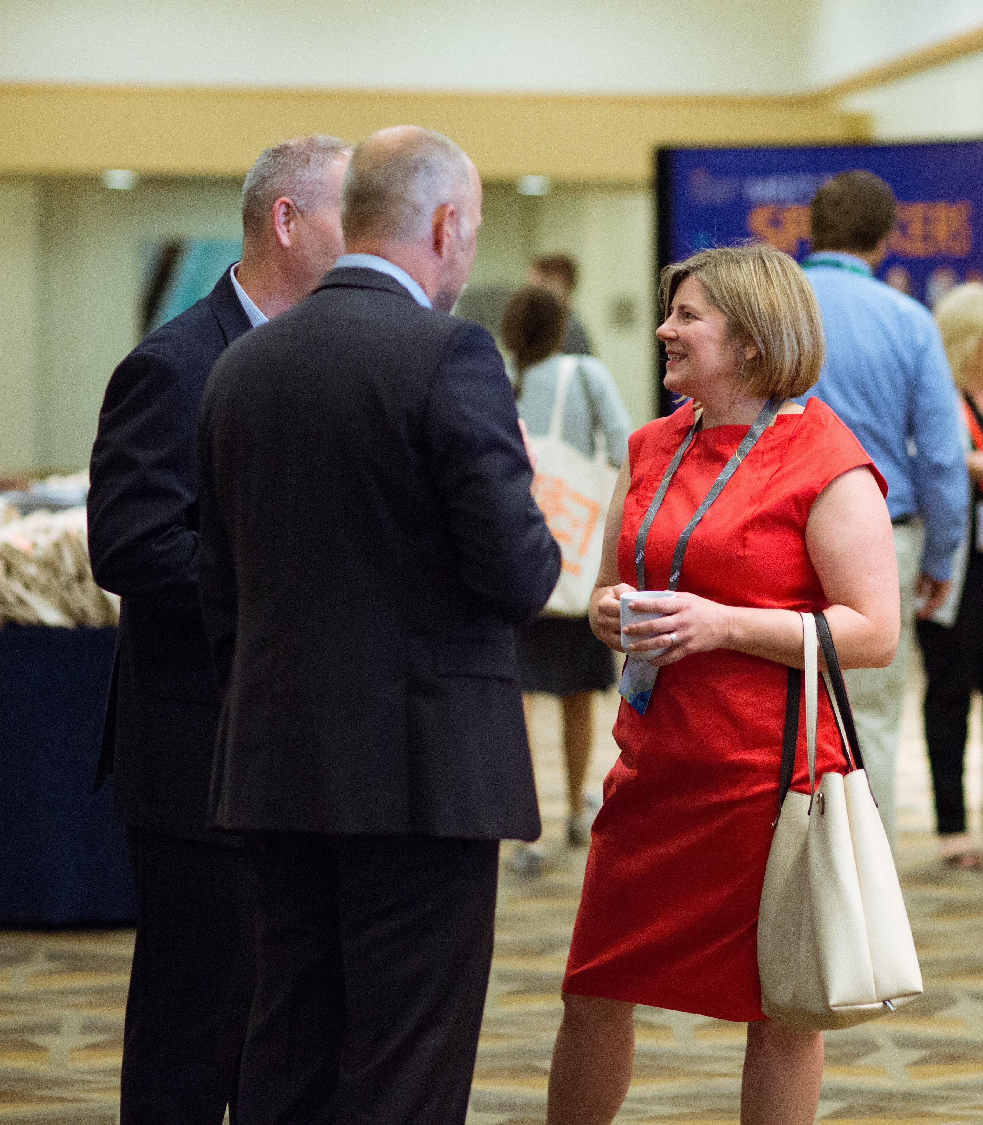 few early birds that do breakfast meetings. The goal of these meetings is to connect with individuals in the same industry, with the same interests, or in the same area (known as Regional User Group meetings) to talk about relevant topics and trends in GIS.
 Why should I go?
 Before the conference, he gathers with his team to review responses to both common and difficult questions, allowing them to dive deeper into their areas of expertise. They practice until everyone on the team is comfortable explaining each map/app/layer, and can customize their answers to meet the needs of their practice clients.
 Esri is a “company of relationships” according to Sean. We value the relationships and conversations that we have with our users, and we are constantly looking to improve the platform usability and help our users innovate new spatial workflows in their work. It is not very often that you will have access to the people who are directly building the technology and developing the code that you are using, but the Expo floor is the place to do that.
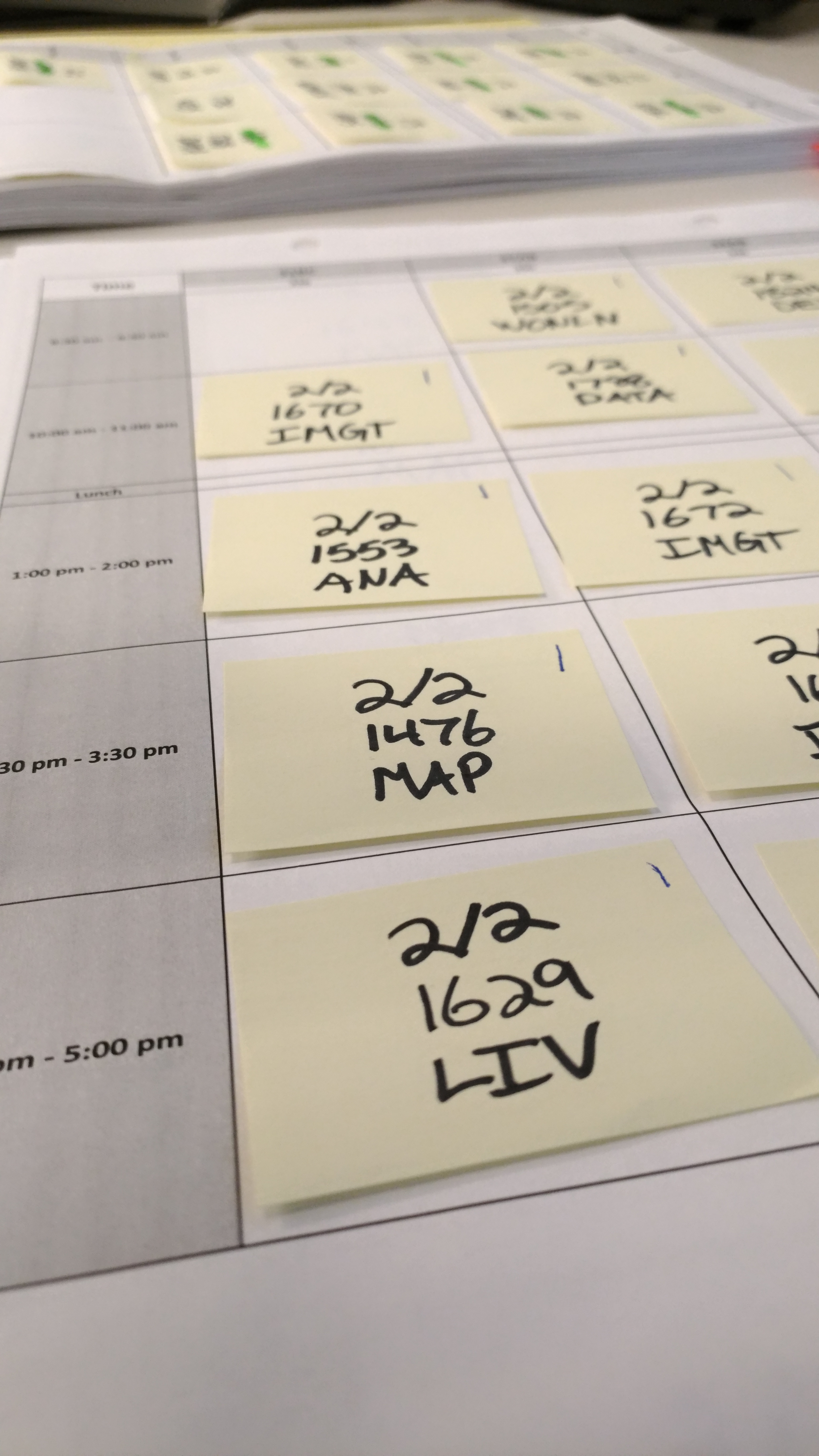 First, let’s talk about the User Presentations. We had our Call for Presentations back in the fall where users could submit their abstracts about the cool work they did with Esri software. We brought in our Esri experts with various industry backgrounds to review the nearly 900 submissions that we received. They made their selections and paired up abstracts based on subject, technology, and, industry to create sessions. Once they had this information, they passed it on to our team for scheduling.