GeoDev Germany Blog - Page 2

cancel
Showing results for 
Show  only  | Search instead for 
Did you mean: 

Latest Activity

(333 Posts)
LarsSchmitz
Honored Contributor

Last weekend I had the chance to attend HackZurich, one of the biggest hackathons in Europe. And what can I says? The event was a blast. Over 580 people from 58 countries showed to spend 3 days together at TechnoPark Zürich and work on various challenges. And that was actually only the tip of the iceberg. In fact, the organizers had to close applications already in June counting an unbelievable 4864 applications. Not bad, hm?

So many hackers of course attract a lot of sponsors too, be it now challenge or technology sponsors. I was really impressed by the breath of sponsors: Google, Microsoft, SNN, Thomson Reuters, Wikidata, Randstad, Rai Lab, Swiss Re, Swisscom, Zühlke and SBB were just a few of the big names.

They all had very diverse and interesting challenges. Here are 2 out of the 18(!) that really caught my attention:

  • Bühler Group, a manufacturer for food processing machines, asked for ideas to improve wheat production.
  • Reuters opened up their API to basically access their news database.

Talking about the challenges: I liked the clear instructions the organizers gave. team size between 2 and 4 and the clear goal to actually build something in the 3 days.

Esri was one of the technology sponsors and gave a tech talk on Saturday to inspire people. Additionally, Matthias Schenker‌ (Esri Switzerland), John Yaist and David Martinez‌ (both Esri Inc.) made themselves available at the Esri booth to support the various teams.

Curious about the outcome? In our next blog, we will describe a few of the teams and of course will tell you finally won the Esri price. Stay tuned 🙂 And be sure to reserve your seat early enough for next year. There won't be less hackers willing to go.

Finally, here are some more impressions:

more
3 3 1,436
AlexanderErbe
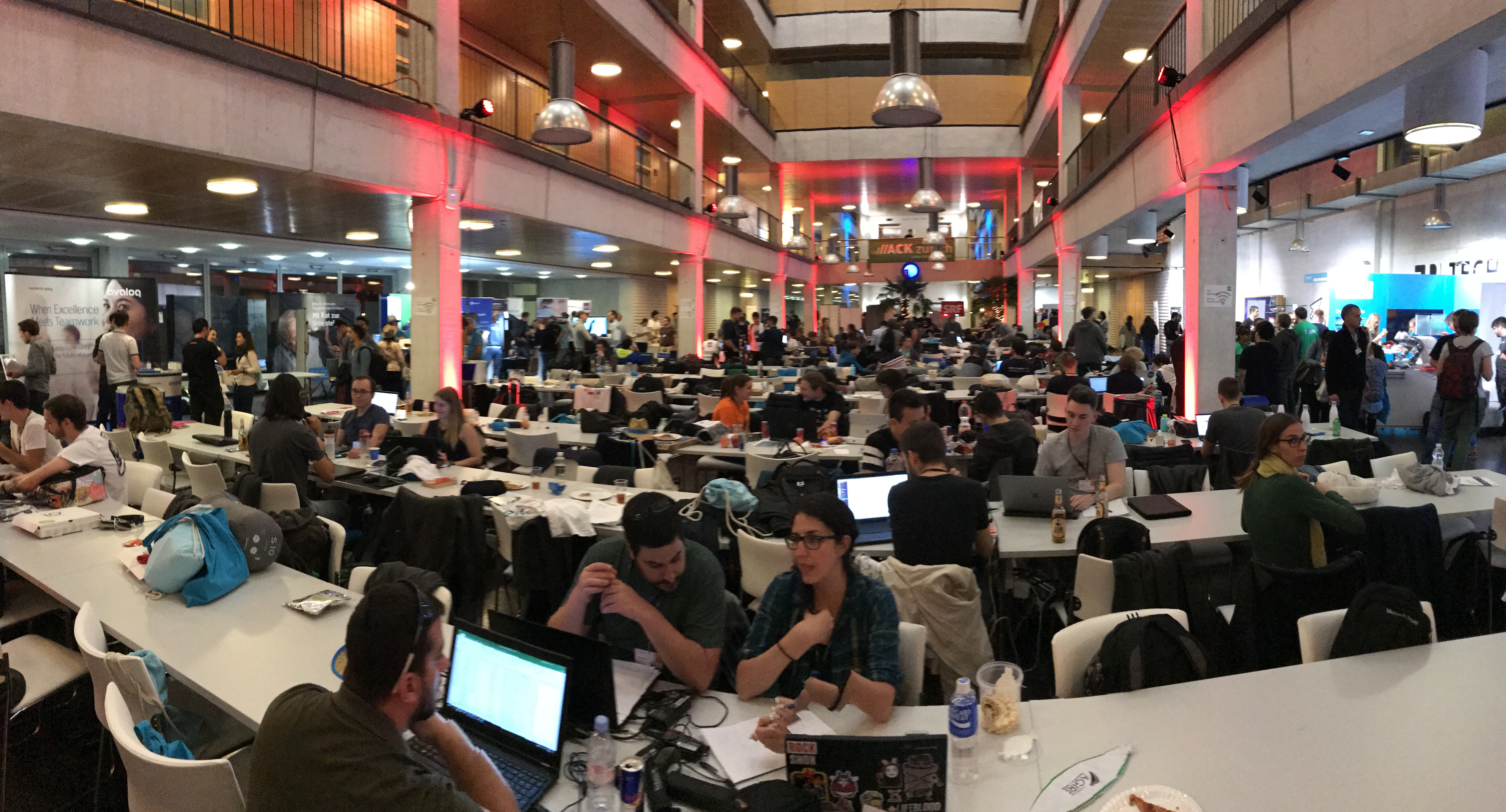
Esri Regular Contributor

On September 18th, the third GeoMonday of this year was held on the topic “artificial intelligence and geodata”. More than 30 good-humoured Geogeeks, well supplied with pizza and beer, listened to exciting lectures and discussed lively about them.

Did you miss this past GeoMonday? No problem, we have recorded all talks and took some pictures, see below. And don't worry, after GeoMonday is before GeoMonday. You can find all the details on meetup.com or here on GeoNet.


See you again soon!

Your GeoDev Germany & GeoMonday Team!

Michael Marz, Esri Deutschland:

How neural networks make GIS-supported crop production more efficient

High-tech has already arrived in agriculture. Modern agricultural machinery and geographic information systems make precision farming possible. An important aspect in crop production is the basic fertilization with nutrients and additives. The pH value can already be determined in a small scale and during the crossing of a tractor with specific sensors. For essential macronutrients like phosphorus, on-site soil sampling as well as complex and cost-intensive determination of the content in the laboratory are still necessary. Phosphorus content depends on chemical and physical soil conditions. If these conditions are known, the content of phosphorus can be estimated. This paper provides extracts from a research project on how neural networks help to estimate local phosphorous content for fertilization by learning those nonlinear multilateral relationships in the soil.

Martin Wilden and Matthias Stein, con terra:

Natural language understanding in web mapping applications

"Will speech soon do away with typing?" - This question has recently been raised by a large German newspaper. Lately, more and more speech assistants like Google Assistant, Amazon's Alexa, Mircosoft's Cortana or Apple's Siri are reaching the market and allowing users to control many parts of their life by voice input. This technology is called natural language understanding (NLU) and may also be used to control Web mapping technology. Imagine that you could say "show me all schools in Berlin" instead of using a selection tool to select those features.

Some impressions:

more
3 0 1,260
GerdBuziek
Esri Contributor

Kreative Ideen für die intelligente Mobilität sind gefragt: Wie können mit GIS und Geodaten Mobilitätsprozesse, -verfahren und -abläufe sicherer und zuverlässiger gestaltet werden?


Der Deutsche Mobilitätspreis (#DMP17) ist eine Initiative des Digitalgipfels und des BMVI. In der diesjährigen Open Innovation Phase vom 4.9. bis zum 16.10. wird gefragt wie mit Geodaten Mobilität zuverlässiger und sicherer gestaltet werden kann. Daher unterstützt Esri diesen Wettbewerb.

Der von Deutschland – Land der Ideen ausgerichtete Wettbewerb spricht Einzelpersonen an, die mit geringem Aufwand ihre Ideen im Wettbewerbsportal darstellen können.

Nach dem 16.10 entscheidet eine Jury unter Leitung des BMVI über die Gewinner der drei Geldpreise.


Zum Wettbewerbsportal geht es hier: https://ideen.deutscher-mobilitätspreis.de


Links:


Digitalgipfel: www.de.digital

BMVI: www.bmvi.de

Deutschland – Land der Ideen: www.land-der-ideen.de

Twitter: #DMP17

more
2 0 331
LarsSchmitz
Honored Contributor

What a blast! The last geodev meetup in Munich was just great! Many thanks to all of you for coming. With over 80 attendees it was our biggest meetup so far 
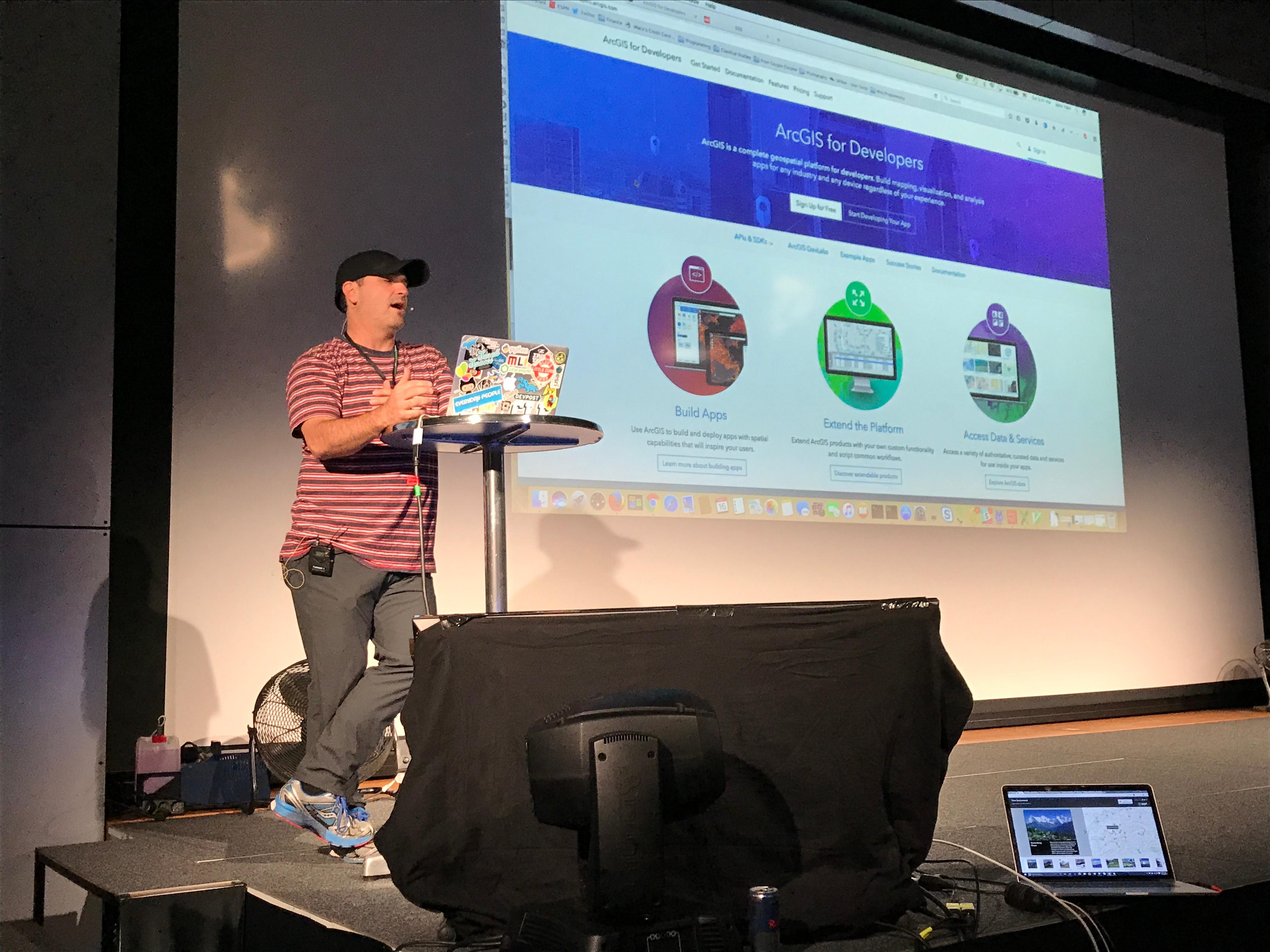
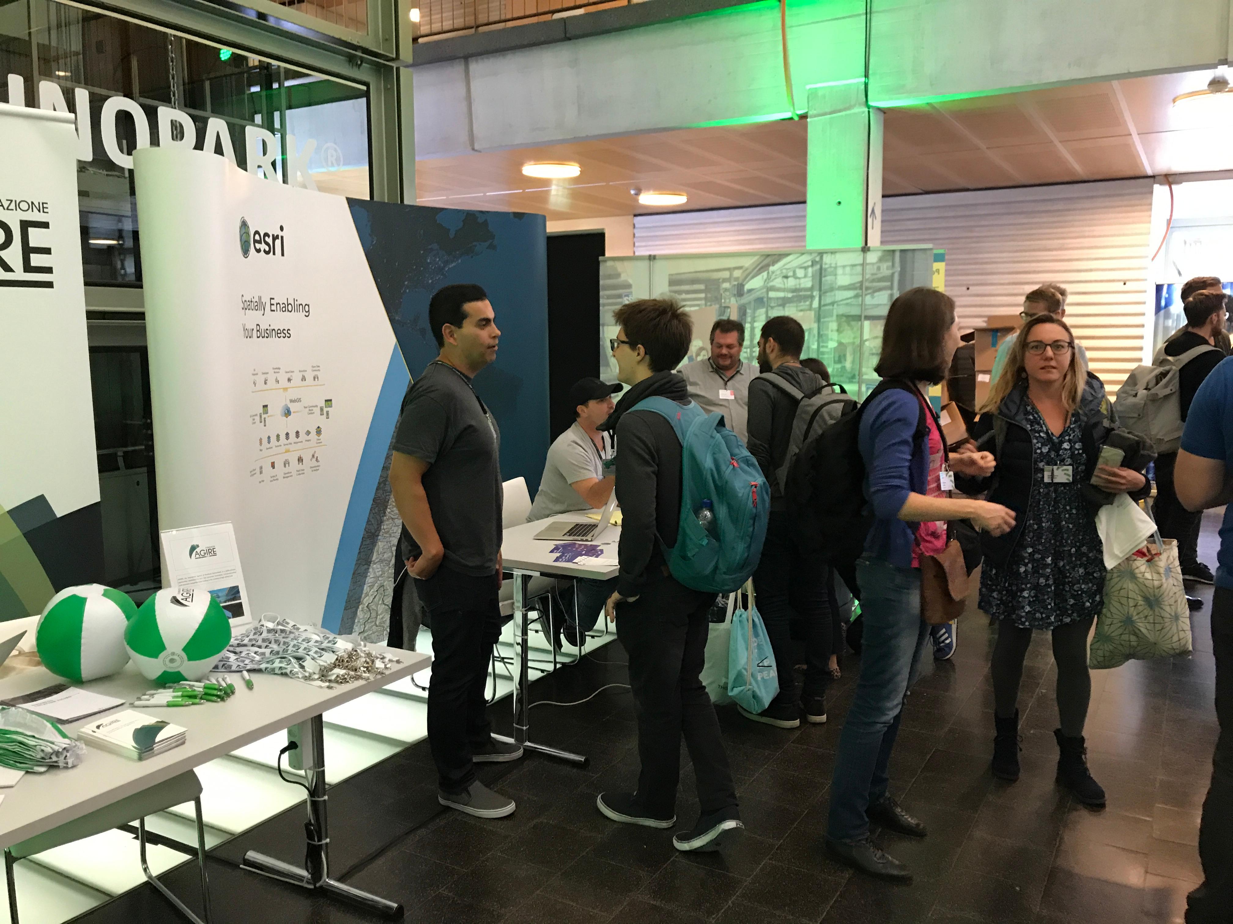
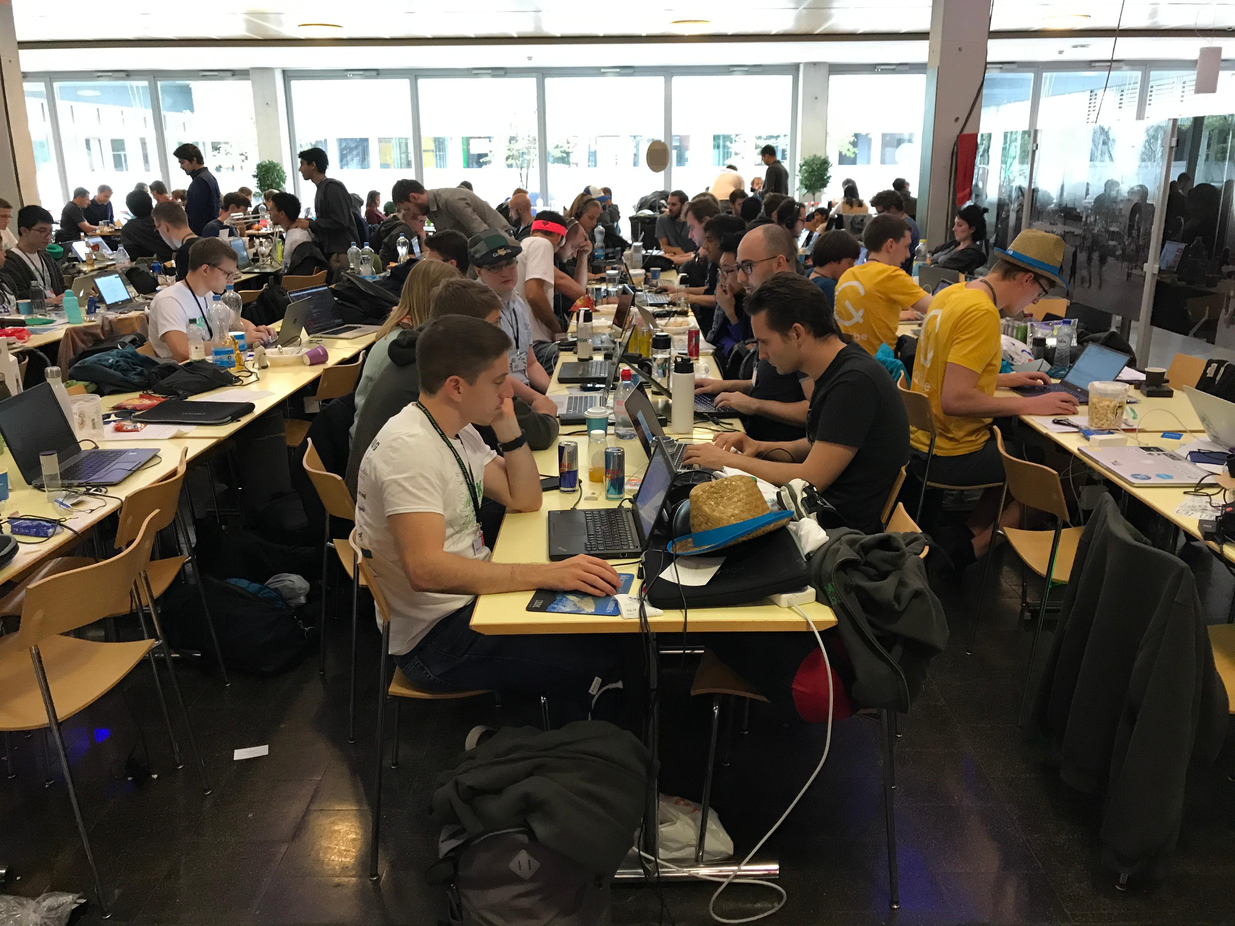
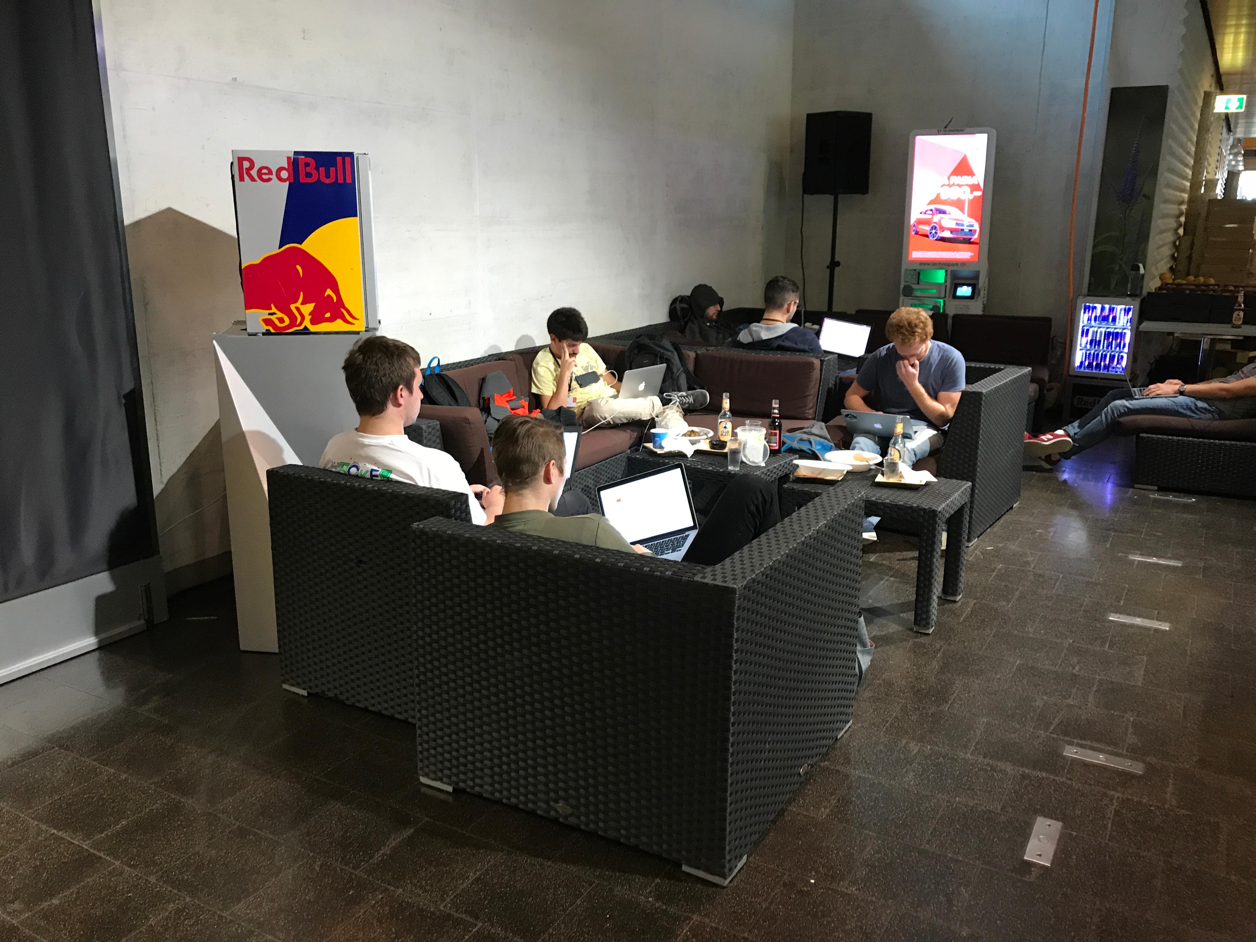
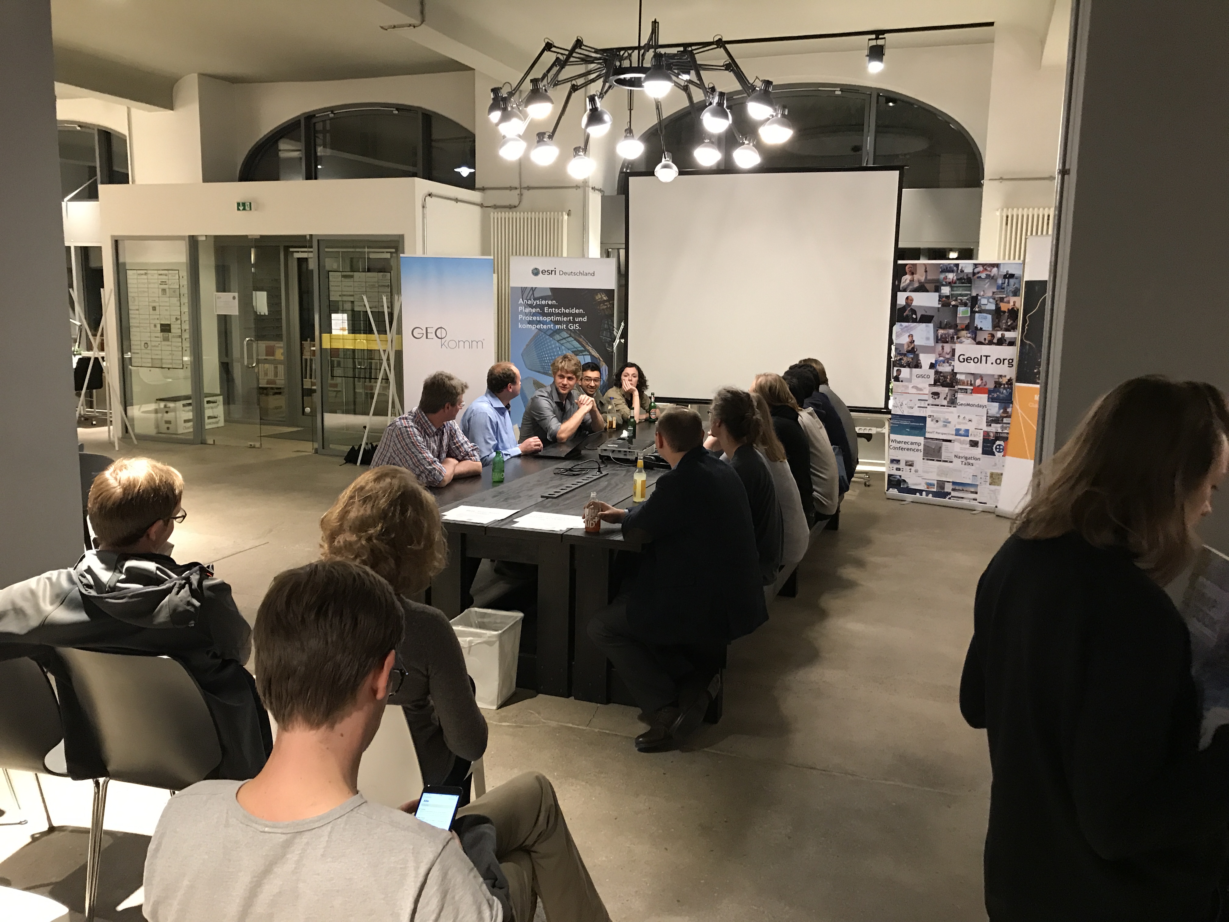
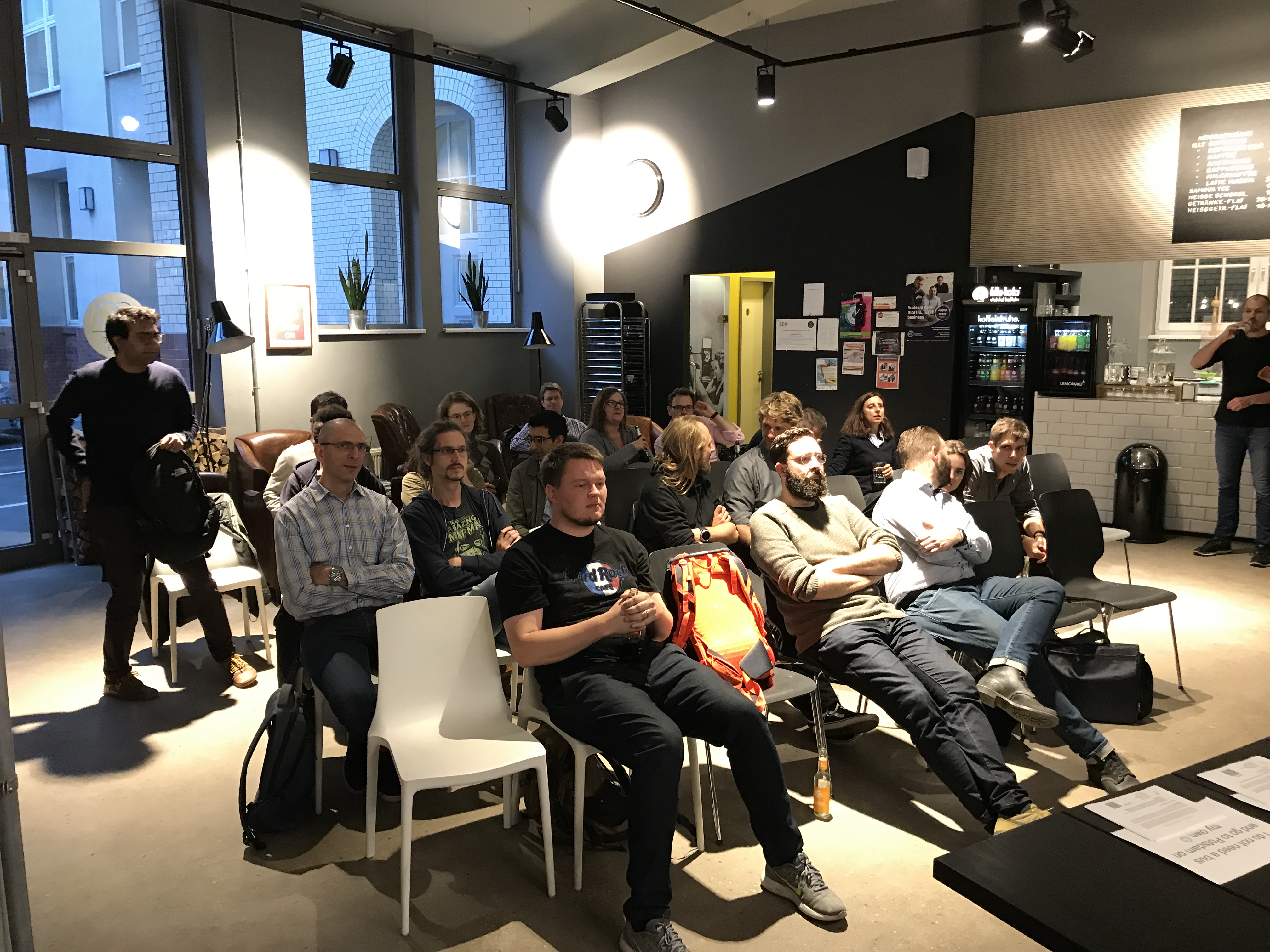
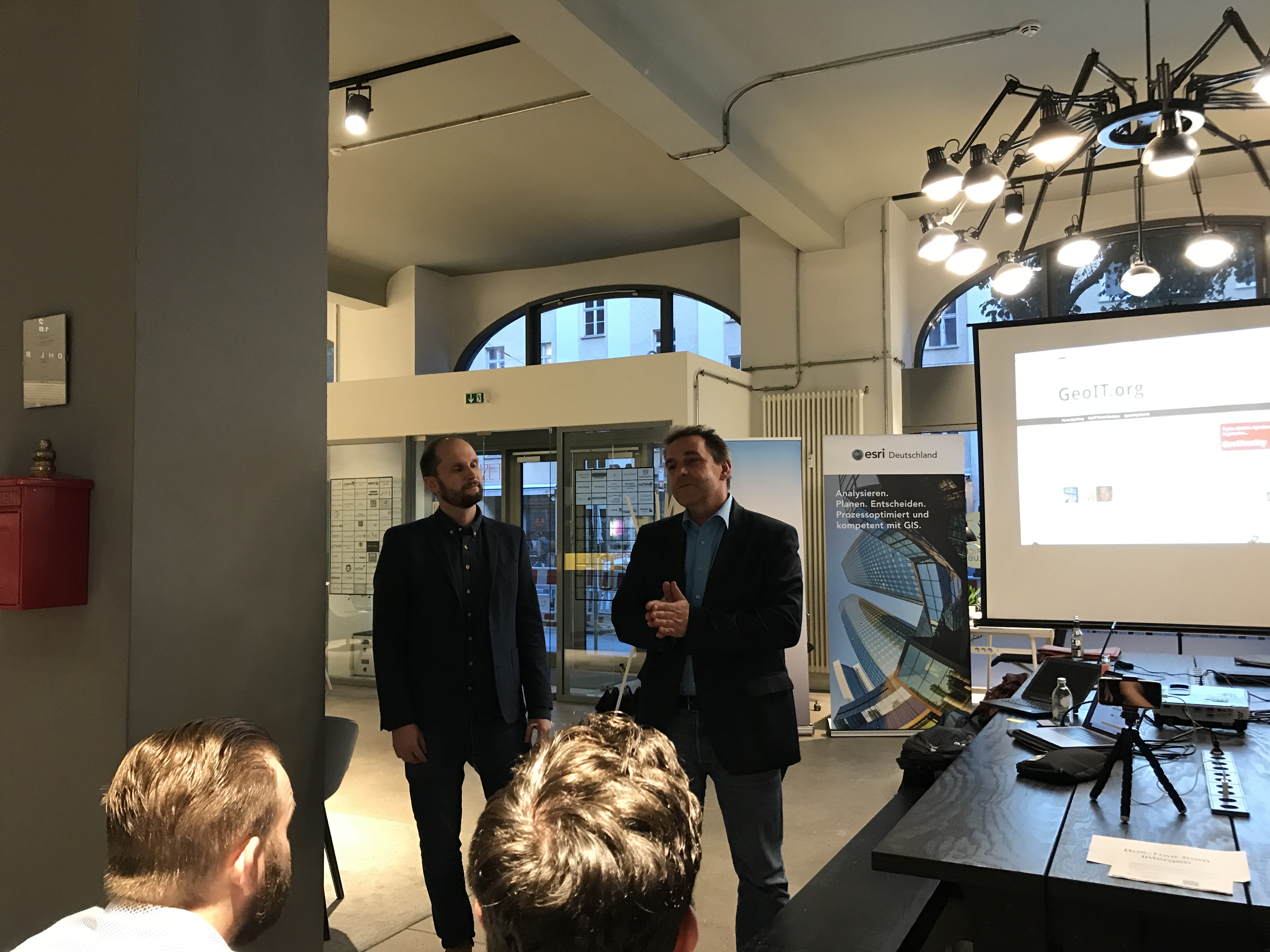
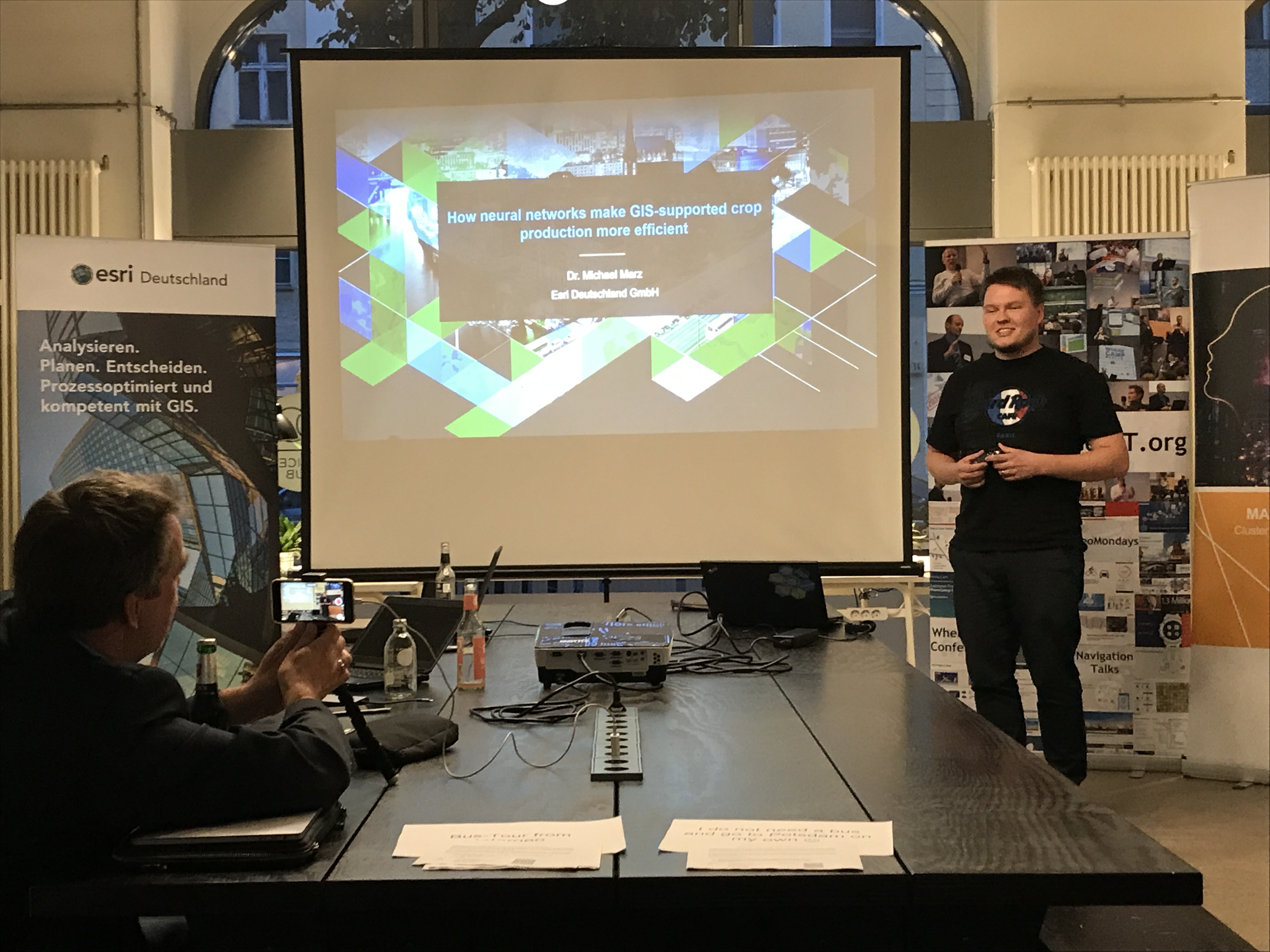
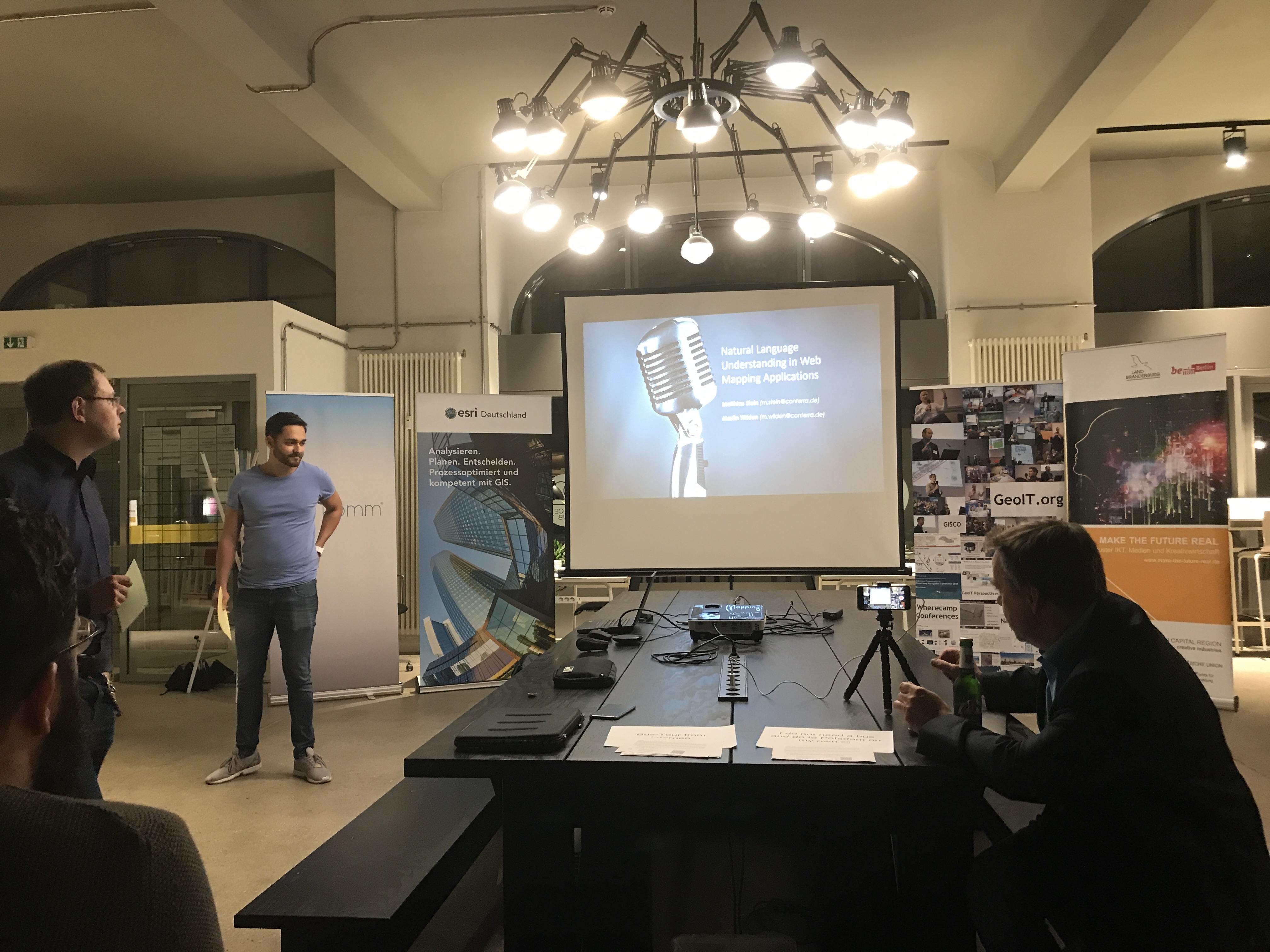
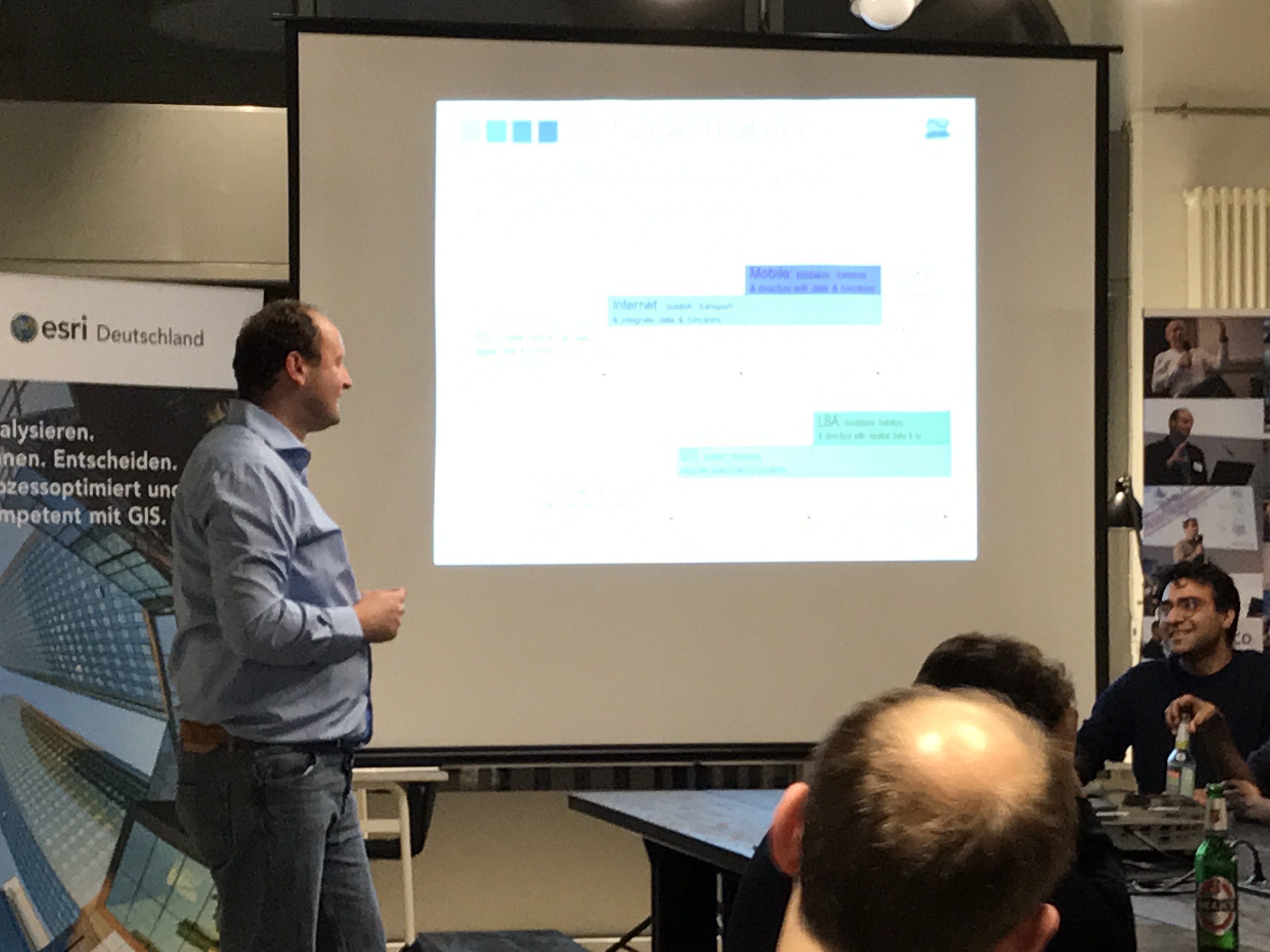
. My special thanks go to the three speakers, and of course also Google Germany for hosting the meetup at their campus in Munich.

Have you missed the meetup? No problem, we have recorded all talks, see below. You also can find all slides at the end of this blog. And don't worry, after the meetup is before the meetup  You can find all the details on meetup.com or here on GeoNet.

See you again soon!

Lars

Matt Bühler, vrbn - Mapping 3d worlds

Mapping is an inherently graphical & therefore creative task, where everybody may need individual, tailor-made solutions. In this presentation, Matt shows examples of his work of creating 3d maps, where he's leveraging cutting edge technology and scripted workflows for historic reconstructions, city planning scenarios and the creation of entirely fictional environments.

Prof. Mark Vetter, HS Karlsruhe - How digital maps are changing our spatial orientation skills?

The use of digital maps in smartphones will have an impact on our spatial orientation skills and our map reading competence. Therefore, we conducted a study with Munich high school students in the years 2013 and 2015 to reveal and quantify these changes. What could possibly be done in future school lessons to avoid further loss of this cultural competence?

Thomas Felber, Linde AG - BeeZero. Carsharing service with Zero Emissions

BeeZero® is the world's largest and friendliest car sharing with hydrogen. With BeeZero, a new environmentally friendly and modern form of mobility comes into the city. Thanks to the innovative hydrogen technology, we help you to reduce pollutants and traffic noise without sacrificing the convenience of a car. Learn about how we built a fully functional car sharing system within 100 days from scratch. In this talk you will also hear about the telematics used to operate and maintain to cars, the challenges we faced around map visualization and why we decided to start from scratch. Bee part of it, Beezero.

more
6 0 1,148
LarsSchmitz
Honored Contributor

Im September lädt die Europäische Weltraumagentur ESA wieder 20 ausgewählte Entwickler zum Space App Camp nach Frascati, Italien, ein. Vor Ort habt Ihr die Möglickeit, mehr über die Arbeit der ESA zu erfahren und Eure Projekte mit ESA Daten zu starten. Natürlich warten auch wieder viele tolle Preise auf Euch. Insgesamt denke ich ist es eine einmalige Gelegenheit.

Deshalb möchte ich Euch auf diesem Wege nochmals darauf aufmerksam machen, dass Ihr Euch noch bis zum 24.7.2017 um die Teilnahme bewerben könnt. Weitere Infos findet Ihr auf der Homepage, dort könnt Ihr Euch mit Eurem Team auch gleich bewerben.

more
1 1 515
LarsSchmitz
Honored Contributor

Vergangene Woche hat das Mannheimer Startup Conias Risk den Förderpreis des VR-InnovationsPreis Mittelstand 2017 gewonnen. Das Unternehmen ist seit 3 Jahren Mitglied des Esri Startup Programms und setzt ArcGIS ein, um weltweit das regionale politische Risiko zu ermitteln und zu visualisieren. Dies ist für internationale tätige Unternehmen und Organisationen von großem Wert und Hilft bspw. beim Supply Chain Risk Management.

Das folgende Video gibt einen Eindruck vom Unternehmen:

Wir gratulieren dem Team und drücken die Daumen für die anstehende Esri User Conference 2017. Dort könnt Ihr Conias Risk in der Startup Zone antreffen.

more
0 0 456
LarsSchmitz
Honored Contributor

UK based startup Improbable recently raised 502 million dollar. This is a major step and will allow the company to further develop their big dream. Improbable has created an operation system called SpatialOSthat marshals the power of cloud computing and distributed platforms to simulate cities and whole worlds.

SpatialOS applications are actually twofold. One the one hand, it is very interesting to the gaming industry, think role-play games in massive worlds.

On the other hand, SpatialOS can also be used to build up large-scale virtual worlds to better understand the real world. For example, city planners can use the technology to simulate their city including traffic, utilities and much more.

Check out this Youtube video from recent Google Developer Conference for more details.

Esri Startup Program‌, GeoDev Spain‌, GeoDev Netherlands

more
0 0 661
LarsSchmitz
Honored Contributor

Our friends from TerraLoupe are looking for a business developer to support their growing team. Are you interested in imagery and artificial intelligence? Do you like the startup way of living? Then this could be your job.

Take a look at the job description and apply at careers@terraloupe.com.

Management Level (m/f) VP Business Development / Sales


You will work on:
» Customer solutions based on the TerraLoupe technology for object recognition via deep learning algorithms
» Fostering TerraLoupe’s reach in existing customer segments and expanding TerraLoupe into new markets / new customer segments, therefore identifying customer requirements and translating them for the product and engineering team
» Building strategic partnerships along the TerraLoupe value chain
» Sales presentations, customer offer preparation and negotiation

You have:
» Previous work experience in B2B environments in a Sales / BD / Strategy role of at least 5 years
» Entrepreneurial spirit and customer centric thinking
» Strategic business sense combined with strong analytical and communication skills
» An independent, structured, and result-driven way of working
» Language skills – Fluent in German and English

You are:
» Motivated to work on creating customer solutions based on cutting-edge deep learning technology
» Eager to become part of an excellent team
» Output-driven, with great problem-solving skills and an attitude to get the job done
» Willing and capable to familiarize yourself with challenging new topics and tasks and dig into customer domains and value chains
» Highly motivated to learn new things every day and inspire the team with your optimistic energy
» Interested to work in a “do-work-you-love” environment where “team” means your daily family

We will be thrilled if you have:
» Made your own entrepreneurial endeavors already
» Successfully led a B2B Sales team in a newly developed market

more
2 0 676
LarsSchmitz
Honored Contributor

Our friends from geoawesomeness recently did an interview with Munich based startup TerraLoupe. The company is using AI to automatically recognize objects like traffic signs or solar panels from aerial imagery. One focus point is autonomous driving and TerraLoupe envisions to provide industry players like TomTom and HERE with their technology.

TerraLoupe is member of the Esri Startup Program and we are currently working on a shared roadmap.

You can read the full interview here.

TerraLoupe


Esri Startup Program GeoDev Spain GeoDev Netherlands

more
1 0 822
LarsSchmitz
Honored Contributor

Our first European Geo Business Seminar that took place in Amsterdam on the 16th of March, was a huge success. 

We had over 130 participants from 19 different countries including large and mid-sized retailers, real estate consultants, Partners and of course, Esri Distributors.The attendees were a mix between prospects and existing customers.


The presentations, that have been made available for publishing, can be reviewed online:  Presentations Esri Geo Business Seminar. Our special thanks go to two exciting German startups that have contributed to this successful seminar with a talk. Both are member of the Esri Startup Program:

  1. Conias Risk: Political Risk Analytics for GIS Systems
  2. mobalo: The Targeted Use of Movement Data Obtained from Mobile Phones in Geomarketing – An Experiential Report from the Media Agency Sector

more
1 0 423
16 Subscribers
Labels