Turn on suggestions
Auto-suggest helps you quickly narrow down your search results by suggesting possible matches as you type.
Cancel
Why Maps Matter
Subscribe
665
0
12-10-2015 11:00 PM
- Subscribe to RSS Feed
- Mark as New
- Mark as Read
- Bookmark
- Subscribe
- Printer Friendly Page
12-10-2015
11:00 PM
How would you explain to fellow educators, to students, parents, or the general public why Geographic Information Systems (GIS) matters in education and in society? One idea is to start with a document entitled "Why Maps Matter".
While spatial thinking is much more than "maps", I aimed at a phrase that would attract people to this workshop. I frequently choose similar presentation titles depending on my audience, such as "Mapping Your Educational Research" or "Mapping The Social Studies."
Themes of this workshop include: Maps foster understanding, tell stories, and enable decision making. I included my favorite maps and map books for a personal touch. Topics include population, land use, urban, economics, health, and natural hazards, with frequent mention of scale, systems thinking, critical thinking, time and space, and place. The workshop is taught through an inquiry-driven, hands-on, problem-based format.
I've posted related resources in the form of three videos and 20 resources for sharing GIS with others. I look forward to hearing how you share "why maps matter" with others.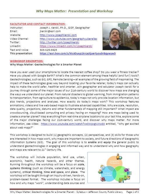
Why Maps Matter Presentation and Workshop.
You must be a registered user to add a comment. If you've already registered, sign in. Otherwise, register and sign in.
About the Author
I believe that spatial thinking can transform education and society through the application of Geographic Information Systems for instruction, research, administration, and policy.
I hold 3 degrees in Geography, have served at NOAA, the US Census Bureau, and USGS as a cartographer and geographer, and teach a variety of F2F (Face to Face) (including T3G) and online courses. I have authored a variety of books and textbooks about the environment, STEM, GIS, and education. These include "Interpreting Our World", "Essentials of the Environment", "Tribal GIS", "The GIS Guide to Public Domain Data", "International Perspectives on Teaching and Learning with GIS In Secondary Education", "Spatial Mathematics" and others. I write for 2 blogs, 2 monthly podcasts, and a variety of journals, and have created over 6,500 videos on my Our Earth YouTube channel.
Yet, as time passes, the more I realize my own limitations and that this is a lifelong learning endeavor: Thus I actively seek mentors and collaborators.
Related Articles
What are Maps? Why do they Matter? See what Map Man Says
JosephKerski
Esri Alum
1 Kudos
0 Comments
Why Maps Matter: Videos from Short Course All About Mapping
JosephKerski
Esri Alum
0 Kudos
0 Comments
Why Maps Still Matter: Geotechnologies for a Smarter Planet: Course
JosephKerski
Esri Alum
0 Kudos
0 Comments
Labels
-
Administration
90 -
Announcements
88 -
Career & Tech Ed
1 -
Curriculum-Learning Resources
286 -
Education Facilities
24 -
Events
77 -
GeoInquiries
1 -
Higher Education
618 -
Informal Education
286 -
Licensing Best Practices
102 -
National Geographic MapMaker
43 -
Pedagogy and Education Theory
241 -
Schools (K - 12)
282 -
Schools (K-12)
308 -
Spatial data
39 -
STEM
3 -
Students - Higher Education
259 -
Students - K-12 Schools
147 -
Success Stories
44 -
TeacherDesk
1 -
Tech Tips
129
- « Previous
- Next »