- Home
- :
- All Communities
- :
- Industries
- :
- Education
- :
- Education Blog
- :
- What Should I Do For My GIS Project?
What Should I Do For My GIS Project?
- Subscribe to RSS Feed
- Mark as New
- Mark as Read
- Bookmark
- Subscribe
- Printer Friendly Page
Many of us have encountered the following question from students: “What should I do for my GIS project?” Or, perhaps you are that student looking for a GIS project. While the best project is the one that students come up with themselves, sometimes, suggestions are helpful to get started. See the guidelines below and this video are some that I have provided to GIS students at many times in the past.
I always encourage you, the student, to first discuss your thoughts and ideas with me or with your peers rather than me providing you with a simple list. Why? I think it is important for you to start with issues that you are most passionate about. The lists of noble ideas to tackle in our world, given its growing problems and complexity that can be understood or solved with GIS, grows by the day. But, don't pick something that is in the news right now, or where you can easily find data, or even something your professor is interested in... pick something that you are interested in. For more from the student perspective, see my essay here.
The United Nations Sustainable Development Goals provide a good framework and starting point, because these goals that address poverty, health, education, and other serious issues can all be addressed through the spatial perspective and spatial analysis through GIS.
Along these lines are the issues raised by books and long-running blogs in specific fields, such as one of my own books entitled Essentials of the Environment. In that book I discuss biofuels, ecotones (the 'boundaries' of ecoregions), climate and weather, natural hazards, water quality and quantity, soil erosion, and other topics from local to global, and issues on the technical and instructional side, such as comparing field data collection methods. Another rich source of ideas is the annual Esri Map Book. Each entry in this annual book features a problem that is understood better or solved through the application of GIS—anchored in hundreds of disciplines from agriculture to zoology. The Esri industry pages (http://www.esri.com/industries), provides another good source, giving a clear sense of the many fields in which GIS is used details and case studies told through written stories and videos.
Still stuck? Try the following suggestions:
- Scan the recent User Conference proceedings from Esri (https://proceedings.esri.com/library/userconf/index.html), from the Society for Conservation GIS www.scgis.org, the American Association of American Geographers (www.aag.org), and conferences from other organizations to gain ideas on the problems people are addressing, the data used, and the methods employed.
- Go through the Esri ArcGIS Book (https://learn.arcgis.com/en/arcgis-book/) for additional ideas that may spring forth from your investigation of the many intriguing maps there.
- Go through some articles on https://scholar.google.com/ using a variety of pointed search terms.
- See what GIS user groups (https://www.esri.com/en-us/about/events/index/user-groups) are discussing and what they are needing.
- I encourage you students to read scholarly and trade journals, and to skim GIS blogs, LinkedIn groups, and Facebook pages (such as the Esri Higher Education group).
- Investigate ideas on GIS web news services such as Directions Magazine, GIS Café, www.esri.com/news, and others.
- Read local, regional, national, and international news to get a sense of issues of critical importance. In my local community, the top issues at the moment are deciding which schools to reopen in the wake of COVID, and mitigating and dealing with the aftermath of recent wildfires in the mountain foothills. In my state of Colorado, top issues include pine beetle infestation, designing urban greenways, extracting natural gas, oil shale, and supporting solar and wind energy, and an issue that has been with us for 150 years—water quality and availability. Just look around you. Current events from health, political instability, and natural disasters, to economic inequality, energy, water, and many more are valid foundations upon which to build GIS projects.
- Have a chat with other professors at your college or university. Don't limit yourself to the advice from your own professors, as wonderful as they may be. There is a lot of expertise in universities and so I encourage you to think outside your own professors, or even your department--consider those outside your own department.
- Get out into the field, look around you, and think! See below.
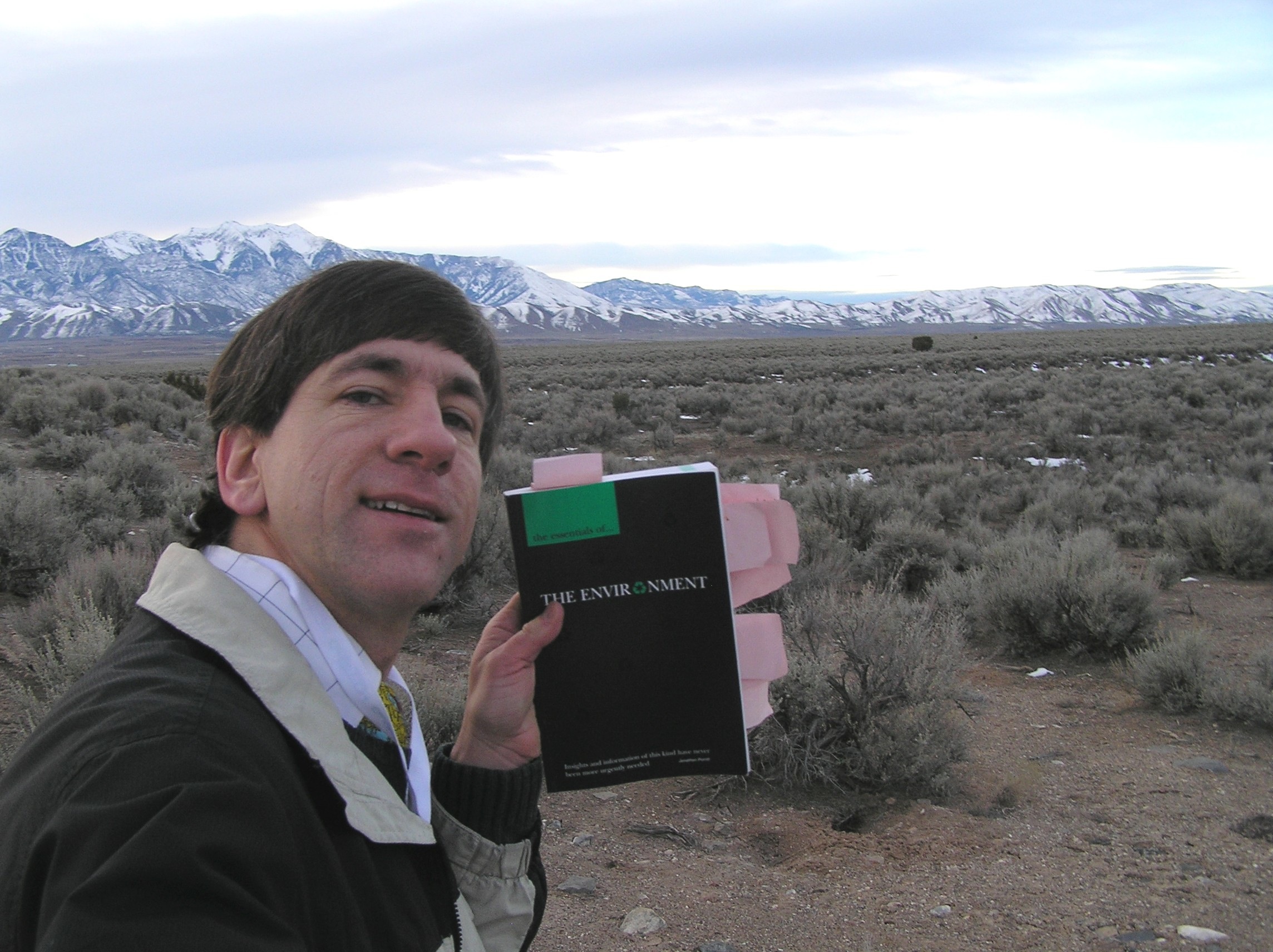
How do you respond to the question “what should do for my GIS project?” Some of my best ideas come from when I am out in the field, such as here in Utah.
I look forward to your comments!
- Joseph Kerski, Esri Education Manager
You must be a registered user to add a comment. If you've already registered, sign in. Otherwise, register and sign in.
What should I do for my GIS project? Update
What should I do for my GIS project? Advice for students
-
Administration
78 -
Announcements
80 -
Career & Tech Ed
1 -
Curriculum-Learning Resources
259 -
Education Facilities
24 -
Events
72 -
GeoInquiries
1 -
Higher Education
596 -
Informal Education
281 -
Licensing Best Practices
91 -
National Geographic MapMaker
33 -
Pedagogy and Education Theory
226 -
Schools (K - 12)
282 -
Schools (K-12)
273 -
Spatial data
35 -
STEM
3 -
Students - Higher Education
246 -
Students - K-12 Schools
129 -
Success Stories
36 -
TeacherDesk
1 -
Tech Tips
120
- « Previous
- Next »