- Home
- :
- All Communities
- :
- Industries
- :
- Education
- :
- Education Blog
- :
- What should I do for my GIS project? Advice for s...
What should I do for my GIS project? Advice for students
- Subscribe to RSS Feed
- Mark as New
- Mark as Read
- Bookmark
- Subscribe
- Printer Friendly Page
One of the most viewed blog essays I've ever written was entitled, What should I do for my GIS project? While it certainly didn't go "viral", its theme seemed to strike a chord with many in education. All of us in this field, at one time or another, whether at school, university, or even in certain workplace settings, have had to deal with this question, as I describe in this short introductory video and in this full length video. Let's discuss this topic from the student's perspective.
I receive frequent inquiries about this topic, and when I do I encourage the student writing to me to discuss his or her thoughts with peers rather than simply focusing on my lists of what others have done. Lists are fine for some inspiration, but if you are a student, I encourage you to start with issues that you are most passionate about. Don't select something where you can easily find data, or even something your professor or co-workers or advisor is interested in; rather, pick something that you are interested in. This will keep you interested, focused, and tenacious in learning new research methods, new tools, and investigating new data sets. You'll need tenacity even for "small" projects, because the Earth is a complex place, and to investigate even a few of its processes requires focused attention.
I wrote in 2011 that the United Nations Millennium Development Goals provide a good framework and starting point, and now here in 2019, I encourage you to look at the UN Sustainable Development Goals (SDGs). These goals that address poverty, health, education, and other topics (1) can benefit by the spatial perspective and spatial analysis that GIS enables; and (2) provide one way for you to anchor your project in "what really matters." Don't get discouraged and think that your project might not be "big picture enough", but may be focused on water quality in a very small part of a watershed, or about an urban greenway in one community. It is my firm belief that thousands of these local projects are exactly what we need to build a better world.
Another source of inspiration are the projects that the students winning the Esri Young Scholar challenge create each year, that I recently documented with an essay and story map. Browse the posters linked to the story map to learn about the themes, the scales, the tools, and the methods that the students used to tackle the problems they identified, and consider how they could apply to what you are considering studying. Take a look at, and consider joining, the Esri Higher Education Facebook group. Another resource is the annual Esri Map Books that include problems addressed through the application of GIS in hundreds of disciplines from agriculture to zoology from many perspectives. On that same theme, review the Esri industry pages, which give a good sense of the fields in which GIS is used. While you are examining the pages in business, health, natural resources, utilities, and other fields, pay attention also to the organizations where the creators of these maps work, and think about which organizations sound interesting for you to work in someday. Consider the societal implications of what you are studying including those discussed in our data blog, Spatial Reserves, such as data quality, copyright, citizen science, the ...
I encourage you to read scholarly and trade journals, such as Transactions in GIS or xyHT, as well as Directions Magazine, Geospatial World, GIS User, GIS Café, the Esri News, and other GIS news and research to understand how research with GIS is framed and conducted. Follow those on Twitter or GeoNet from whom you can learn. It may sound "old school" but one of my favorite sources of information are email listservs (though limit the number that you subscribe to so as not to get overwhelmed). Keep current about Earth-related news to get a sense of issues of critical importance, from local to international. Read about environmental issues or be inspired by innovations that have been achieved in the past and researchers who made those innova.... In my state of Colorado, perennial issues include invasive species infestation, such as pine beetles, dealing with urban growth, planning greenways, wise energy use, and an issue that has been with us for 150 years—water quality and availability. Look around you. These days, there are no shortage of Earth-based issues to address. Current events from human health to political instability to natural disasters to economic inequality, energy, water, risk management, and many more are important issues that the spatial perspective and GIS tools can address. Consider also the type of research environment is most favorable to you: Do you prefer working outside, in a lab or office, or a combination? Does your preferred environment involve working in a team or alone?
Allow me to back up what your professors are no doubt also telling you--one of the most important considerations on a GIS-based research project is doing something that is visionary, but yet is doable. To make it doable given your time and budget, you will need to limit your scope in several ways--reducing the number of variables or data sets, limiting the scale, limiting the number of research questions, and/or something else. For example, for my PhD dissertation research, I originally wanted to examine GIS in education at all levels for the entire world. I eventually settled on the implementation and effectiveness of GIS in secondary education in the USA. Keep a list of things that you are not addressing, and when this project is done, you can return to the most intriguing things on your list, for later. I have done this for my entire professional career and sometimes return to a project idea that I jotted down years ago. For example, several years after my dissertation work was completed, colleagues and I collaborated on an international perspectives on GIS in education book published by Springer with inspiring stories from 33 countries.
Here are some additional suggestions:
- Scan the recent User Conference proceedings from Esri (https://proceedings.esri.com/library/userconf/index.html), from www.scgis.org, and conferences from other organizations to gain ideas on the problems people are addressing, the data used, and the methods employed.
- Go through the Esri ArcGIS Book (https://learn.arcgis.com/en/arcgis-book/) for additional ideas that may spring forth from your investigation of the many intriguing maps there.
- Go through some articles on https://scholar.google.com/ using a variety of search terms.
Finally, I encourage you to get involved in the GIS community--online via LinkedIn, GeoNet, or elsewhere, and/or face-to-face, at the Esri User Conference, a regional or national event such as the Applied Geography Conference, the IGU or ICA, or even a local MeetUp. If you can make it to a face-to-face event, I encourage you to choose at least one track that is totally outside your own area of expertise--sometimes interacting with people with a different perspective and background can be the most inspiring and creative moments of all. If time permits, don't just attend events, get involved in the organizations hosting them, such as the Society for Conservation GIS, the American Geophysical Union, or the Business Geographers, or another GIS or Earth related organization that you can contribute to in a leadership or other role. Give back to the community through such initiatives as Geomentors or GIS Corps.
All best wishes to you in your project! I welcome your reactions, below. --Joseph Kerski
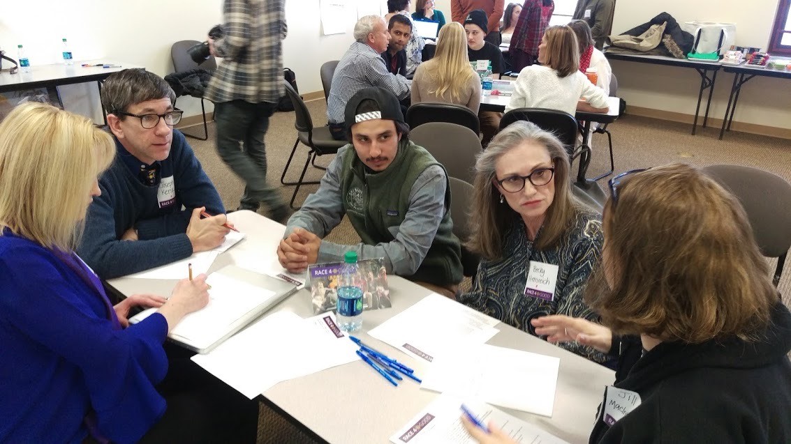
Researchers discussing the scope and goals of a project.
You must be a registered user to add a comment. If you've already registered, sign in. Otherwise, register and sign in.
-
Administration
78 -
Announcements
80 -
Career & Tech Ed
1 -
Curriculum-Learning Resources
258 -
Education Facilities
24 -
Events
72 -
GeoInquiries
1 -
Higher Education
595 -
Informal Education
281 -
Licensing Best Practices
91 -
National Geographic MapMaker
33 -
Pedagogy and Education Theory
225 -
Schools (K - 12)
282 -
Schools (K-12)
273 -
Spatial data
35 -
STEM
3 -
Students - Higher Education
245 -
Students - K-12 Schools
129 -
Success Stories
36 -
TeacherDesk
1 -
Tech Tips
118
- « Previous
- Next »