- Home
- :
- All Communities
- :
- Products
- :
- ArcGIS QuickCapture
- :
- ArcGIS QuickCapture Blog
- :
- ArcGIS QuickCapture version 1.0 released!
ArcGIS QuickCapture version 1.0 released!
- Subscribe to RSS Feed
- Mark as New
- Mark as Read
- Bookmark
- Subscribe
- Printer Friendly Page
ArcGIS QuickCapture is Esri's rapid data collection mobile app. With QuickCapture, you can capture field observations fast, with the simple tap of a button. The idea is simple: configure a QuickCapture project defining the GIS feature types you want people to capture. Each feature category is represented by a big button. You push the button, and the app creates the feature using your device's location. No maps, no forms. Just big buttons.
We have designed ArcGIS QuickCapture with rapid and at-speed field data collection workflows in mind. Its minimalist user experience allows field crews to capture data with minimum interaction, so attention can be kept to what matters most, rather than to an app in a device.
- At-speed data collection: Use ArcGIS QuickCapture while traveling in a vehicle such as a truck or a car. One person drives, and a colleague in the passenger seat captures observations. Report the location of debris, map assets along the road or simply document pavement conditions, all while driving along.
- Aerial surveys and patrols: Configure ArcGIS QuickCapture to collect georeferenced observations from a helicopter or by on-foot patrol crews. Document right of way infractions, overgrown vegetation over electricity poles or malfunctioning streetlights.
- Crop scouting and noxious weed abatement: Carry ArcGIS QuickCapture with you to quickly mark locations where pests are affecting growth or invasive species are found or treated. It's so simple to use that no training is needed.
- Quick damage assessments: Equip first responders with an extremely simple mobile app to perform quick (aka “windshield”) damage assessments. Snap a photo and quickly categorize damage while driving through town. Fast to use, simple to deploy.
The ArcGIS QuickCapture mobile app is available in the Apple and Google Play stores. We have it available for Windows too.
If want to try the app right away, even if you have not published your own projects for it, you can make use of the 'Try it' option in the initial screen. You will be able to download sample projects and play with them to get an initial idea of how it works.
You will note that as you push on a button to capture an observation, you will get audio feedback. This is to help you validate that you pushed the right button. You will also see that the app works reliably even when disconnected from the network, and that if you are connected, all the data you captured will be automatically sent to ArcGIS. All of it is designed to keep things as simple as possible: to make it easy to operate by anyone, with minimum training and in any situation.

The ArcGIS QuickCapture mobile app is only available in English in this release. An update on July 31 will bring support to all languages supported in ArcGIS.
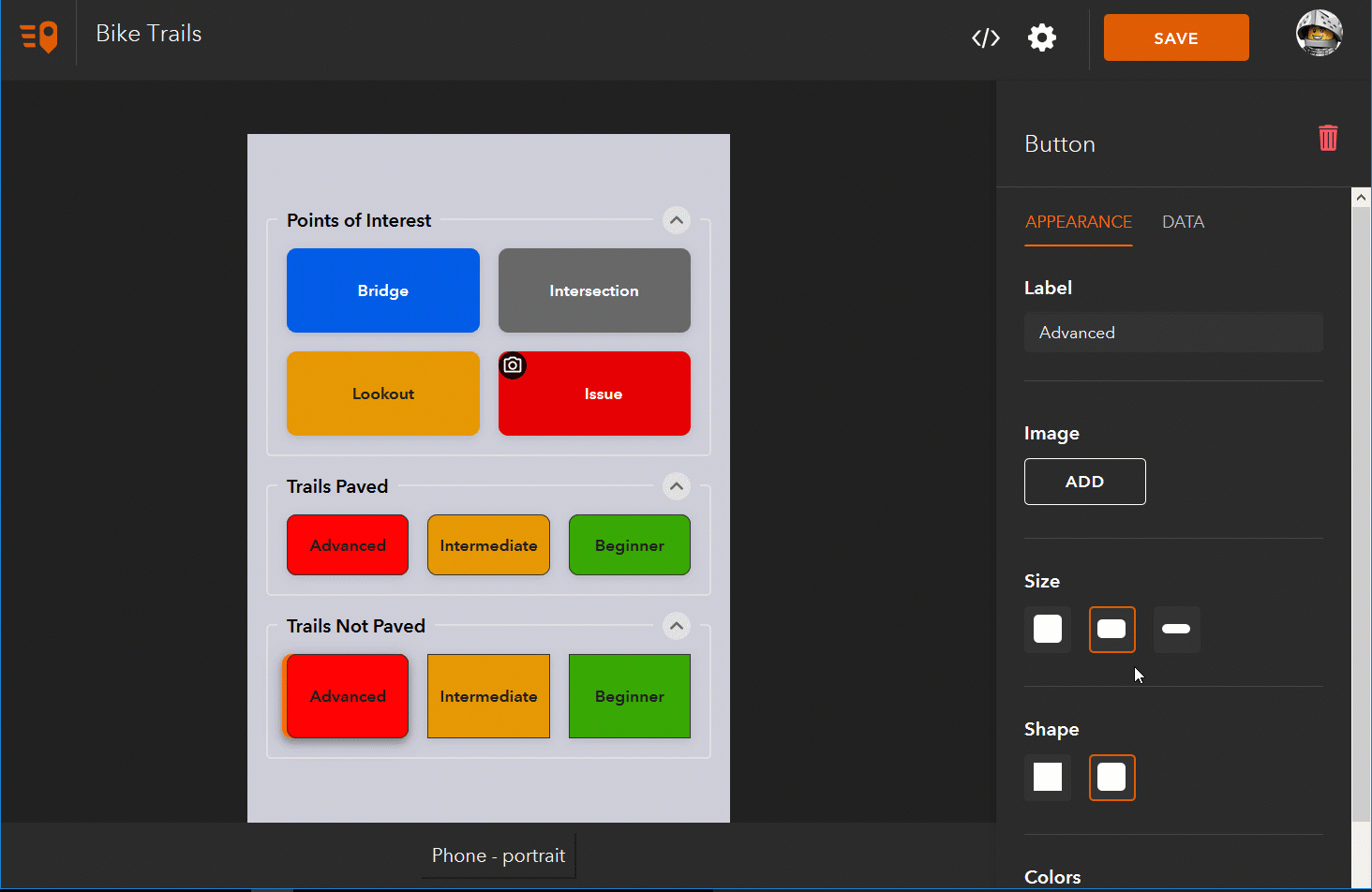
You can configure your own ArcGIS QuickCapture projects, defining the layout and look & feel of your buttons as well as the data that will be captured with them. To create a new project you will need a Creator user type. The foundation of an ArcGIS QuickCapture project is an existing ArcGIS feature service with feature templates defined in it. Using ArcGIS Quickcapture designer, you can easily kick-start a QuickCapture project from your existing feature service and then visually shape your project to the needs of your workflow.
ArcGIS QuickCapture designer is available in English at this moment and will remain Beta until September 2019.
Your ArcGIS QuickCapture projects are modeled in ArcGIS as QuickCapture project items. You can share your ArcGIS QuickCapture projects with groups within your organization right from within ArcGIS QuickCapture designer.
The ArcGIS QuickCapture mobile app is included at no additional cost with Field Worker, Creator and GIS Professional user types. It can also be purchased on top of Editor user types as an add-on from the Esri Store.
There is much more to ArcGIS QuickCapture, but we will let you discover it one step at a time through other blog posts in this Geonet Place, or through our ArcGIS QuickCapture documentation.
It all starts with the touch of a button!
You must be a registered user to add a comment. If you've already registered, sign in. Otherwise, register and sign in.