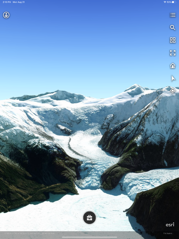
The August release of ArcGIS Earth desktop is now available! Download this latest release of ArcGIS Earth on our website, and visit the ArcGIS Earth Resources page for free training materials and tutorials.
This latest release comes with several new features, enhancements, and bug fixes, including the ability to filter for layers, draw templates, and add drawings for the Automation API.
What's New
Filter for Layer - Filter is a key new feature we added to this release. You can define a single expression or a combination of expressions as a filter to determine a desired subset of features shown on the map. The filter panel can be accessed through the attribute table’s filter icon or layers’ right-click menu. By applying definition queries to the layers, you can filter out the data you don’t need and only have the desired data display on the globe.

Draw Templates - Various KML drawing templates are now available to draw lines or polygons in free shapes or predefined shapes. Line templates include the regular line, right angle line, and freehand mode. Polygon templates include rectangle, circle, ellipse, and freehand as well. All of these shapes can be extruded to a proper elevation and configured size, and transparency as needed.


Earth API Add Drawings -
New methods of Automation drawing API are added to this release, including Add Drawing, Remove Drawings, and Clear Drawings. With the Automation drawing API, you can add the placemark, path, and polygon in ArcGIS Earth. Clear all graphic is also supported in the new release.
As demoed in the below video, we first enable a html window to perform navigation using ArcGIS online geocoding service. Once navigation is complete, we can save the start point and the destination point, including the route as KML data and have them added to Table of Contents automatically. These data can be grouped together and be shared to online or your portal connection all at once.

Enhancements
Disabled basemap - There is a new capability to disable all basemaps added to the new desktop release of ArcGIS Earth. The basemap can now be disabled anytime by clicking the “No Basemap” thumbnail at the end of the basemap gallery.
Remember certificates for PKI authentication -
Users who utilize PKI authentication for ArcGIS Earth will now have their certificates and credentials saved for future use. This should make user the authentication process more seamless.
A new Select a certificate window has been added. A certificate can now be remembered when being selected in the window for the corresponding portal. It can also be conveniently removed by clicking the Forget Certificate option in the portal context menu.
Layer properties enhancement - Under the Summary tab in the layer properties window, description, data source, and spatial reference are redesigned. First, image, table, and hyperlinks, as well as various HTML formats including paragraph, list, font size, bold are now honored in the layer description for a portal item or service layer properties. Second, the data path or service URL can now be copied or open in an external browser with one click. Third, spatial reference information is organized and presented in table format and is more readable.
KML “save as” enhancement - The “Save As” panel is redesigned specifically for KML layers to clarify the Save as process. For an edited KML layer, the Save option in the right-click menu is removed and combined with Save as. The original KML data will not be modified only if you check the Replace the layer in table of contents once exported check box to ensure your edits are saved and automatically added to the table of contents to replace the original layer. On the other hand, unchecking this option will perform the common Save as function.
Issues addressed
Issue | Description |
ENH-000149122 | Provide the ability for the ArcGIS Earth XY Provider search to parse Degrees, Minutes, Seconds (DMS) coordinates in the formats "ddmmssN/SddmmssE/W" or "dddmmssN/SdddmmssE/W". |
BUG-000149160 | The <Document> tag is not present in the KML file created from ArcGIS Earth 1.15. |
BUG-000143744 | ArcGIS Earth does not add a CSV file with DMS values. |
BUG-000148493 | Unable to disable the logs or change the log levels in ArcGIS Earth. |
BUG-000145543 | Refreshing the KML network links in ArcGIS Earth 1.14 collapses the nested folders and layers. |
BUG-000149776 | Intermittent issues with saving descriptions on the Info tab in ArcGIS Earth. |
| Authentication | SAML sign in to portal using certificate returns a blank page. This is a known limitation at ArcGIS Earth 1.15, and gets fixed at 1.16. |
Known Limitation
Feature | Description |
Symbology | Color ramp will not work when the renderer of a feature service layer is visualVariables. |