- Home
- :
- All Communities
- :
- Products
- :
- Geoprocessing
- :
- Geoprocessing Questions
- :
- Raster Polygon Overlay Analysys
- Subscribe to RSS Feed
- Mark Topic as New
- Mark Topic as Read
- Float this Topic for Current User
- Bookmark
- Subscribe
- Mute
- Printer Friendly Page
Raster Polygon Overlay Analysys
- Mark as New
- Bookmark
- Subscribe
- Mute
- Subscribe to RSS Feed
- Permalink
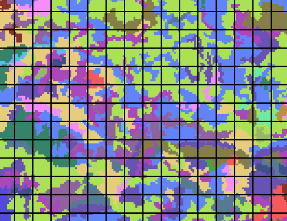
I have a fishnet polygon feature class and a land cover raster. Both cover a large area.
I seek to:
a) calculate the area of each land cover category inside of each Grid from the fishnet
b) Overlay those two datasets in order to have just 1 dataset. What´s the best option to have just a layer showing the Land cover type inside of each Grid?
c) Clip the Grid for just work with the areas of the grid that match the land cover map. Yet I do not want an exact clipped grid but instead that the fishnet grid from the raster boundaries would not get clipped, thus, maintaining the full grid configuration in overlaid areas.
What is the best approach to reach the goals for a), b) and c).
Additionally, is it possible to do it without converting the raster to polygon or polygon to raster?
- Mark as New
- Bookmark
- Subscribe
- Mute
- Subscribe to RSS Feed
- Permalink
I would split your raster into new rasters for every landcover type then run zonal statistics sum for each.
It would probably be easy to just manually delete the grid cells you dont want. Otherwise you could turn the raster into polygon then select by location and reverse selection and delete.
For part b I dont really understand. If you just want the most occurring value zonal stats can use the majority function on the raster.