Turn on suggestions
Auto-suggest helps you quickly narrow down your search results by suggesting possible matches as you type.
Cancel
- Home
- :
- All Communities
- :
- Industries
- :
- Education
- :
- Education Blog
- :
- Teaching the GeoNews Using GIS Technologies and th...
Teaching the GeoNews Using GIS Technologies and the Spatial Perspective
Subscribe
982
0
06-29-2017 12:46 AM
- Subscribe to RSS Feed
- Mark as New
- Mark as Read
- Bookmark
- Subscribe
- Printer Friendly Page
06-29-2017
12:46 AM
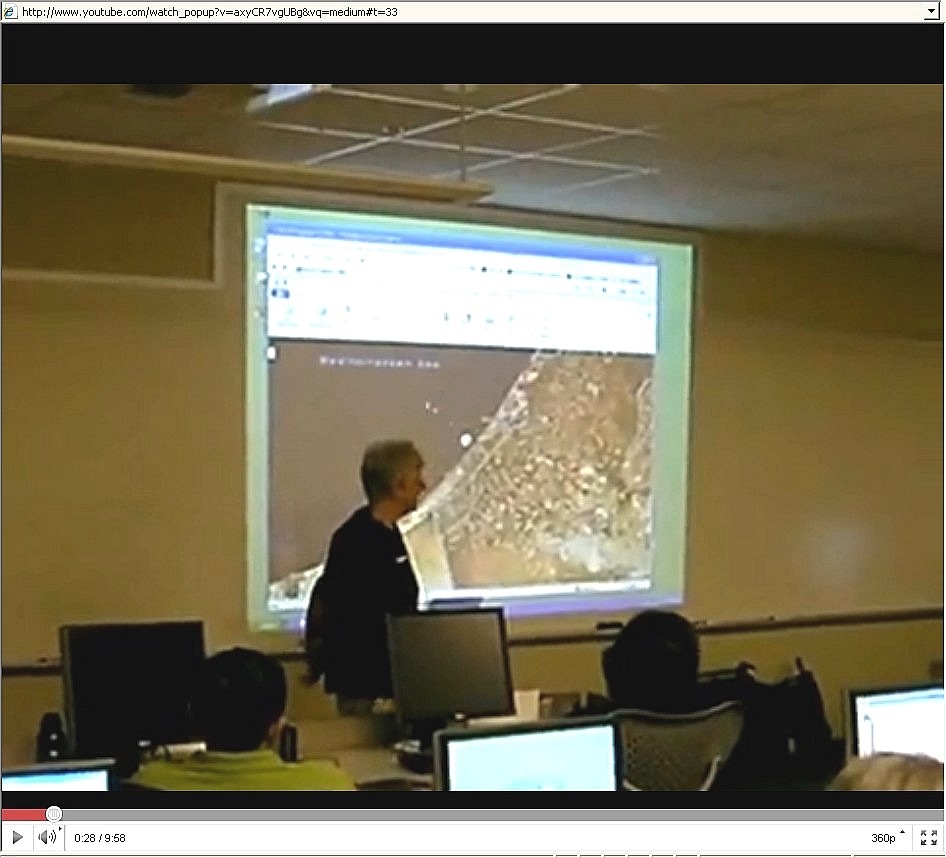
I recently wrote about using GIS technologies to analyze one recent event—the toxic liquid spill in Hungary. I used ArcGIS Online (http://www.arcgis.com) to find a map that I could use to analyze the spatial and temporal aspects of the spill, in this case, with ArcGIS Explorer (http://www.esri.com/arcgisexplorer). Have you considered using something like this as part of a GeoNews segment, where you start all or some of your classes by analyzing one current event from a spatial perspective? Have you considered using GIS as a tool to enable you to do this?
Lest you think that such an activity requires a great deal of set-up time, let me assure you that today’s combination of Web GIS and multimedia make this very easy to do. My example from Hungary is only one of hundreds of events that are routinely tied to Web GIS resources annually. And if you cannot find a Web GIS already made, it takes only minutes to create one of your own. Furthermore, the presentation capabilities that are embedded in ArcGIS Explorer and ArcGIS Explorer Online allow you to create interactive slides that help you tell the story. My colleagues and I modelled the GeoNews concept at this year’s T3G institute for educators in Redlands. Each day of the institute, two of us taught a 15-minute segment about events that were unfolding around the world at the time. You can watch examples of this in action via the movie on the T3G site.
After you have modelled GeoNews, assign your students the task of creating and teaching their own short segments. Emphasize critical thinking about these issues and the examination of these issues using the spatial perspective. Students may begin to realize that everything has a spatial component and that, yes, geography matters now more than ever in our interconnected world.
Some educators I know already make heavy use of current events in their everyday teaching. How can you make use of the GeoNews concept to put a spatial context to these current events?
-Joseph Kerski, Esri Education Manager
You must be a registered user to add a comment. If you've already registered, sign in. Otherwise, register and sign in.
About the Author
I believe that spatial thinking can transform education and society through the application of Geographic Information Systems for instruction, research, administration, and policy.
I hold 3 degrees in Geography, have served at NOAA, the US Census Bureau, and USGS as a cartographer and geographer, and teach a variety of F2F (Face to Face) (including T3G) and online courses. I have authored a variety of books and textbooks about the environment, STEM, GIS, and education. These include "Interpreting Our World", "Essentials of the Environment", "Tribal GIS", "The GIS Guide to Public Domain Data", "International Perspectives on Teaching and Learning with GIS In Secondary Education", "Spatial Mathematics" and others. I write for 2 blogs, 2 monthly podcasts, and a variety of journals, and have created over 6,500 videos on my Our Earth YouTube channel.
Yet, as time passes, the more I realize my own limitations and that this is a lifelong learning endeavor: Thus I actively seek mentors and collaborators.
Labels
-
Administration
90 -
Announcements
88 -
Career & Tech Ed
1 -
Curriculum-Learning Resources
288 -
Education Facilities
24 -
Events
78 -
GeoInquiries
1 -
Higher Education
620 -
Informal Education
286 -
Licensing Best Practices
102 -
National Geographic MapMaker
44 -
Pedagogy and Education Theory
243 -
Schools (K - 12)
282 -
Schools (K-12)
311 -
Spatial data
40 -
STEM
3 -
Students - Higher Education
261 -
Students - K-12 Schools
149 -
Success Stories
45 -
TeacherDesk
1 -
Tech Tips
130
- « Previous
- Next »