Turn on suggestions
Auto-suggest helps you quickly narrow down your search results by suggesting possible matches as you type.
Cancel
- Home
- :
- All Communities
- :
- Industries
- :
- Education
- :
- Education Blog
- :
- GIS and the Ill-Structured Problem
GIS and the Ill-Structured Problem
Subscribe
341
0
06-28-2017 11:50 PM
- Subscribe to RSS Feed
- Mark as New
- Mark as Read
- Bookmark
- Subscribe
- Printer Friendly Page
06-28-2017
11:50 PM
Educational research shows that students can learn both about content and about thinking strategies by working through what are known as “ill-structured” problems. The ill-structured problem is fundamental to problem-based learning (PBL), where students probe deeply into issues, searching for connections, grappling with uncertainty, and using knowledge to fashion solutions. As Stepien and Gallagher (1993) state, “As with real problems, students encountering ill-structured problems will not have most of the relevant information needed to solve the problem at the outset. Nor will they know exactly what actions are required for resolution. After they tackle the problem, the definition of the problem may change. And even after they propose a solution, the students will never be sure they have made the right decision. They will have had the experience of having to make the best possible decision based on the information at hand. They will also have had a stake in the problem.”
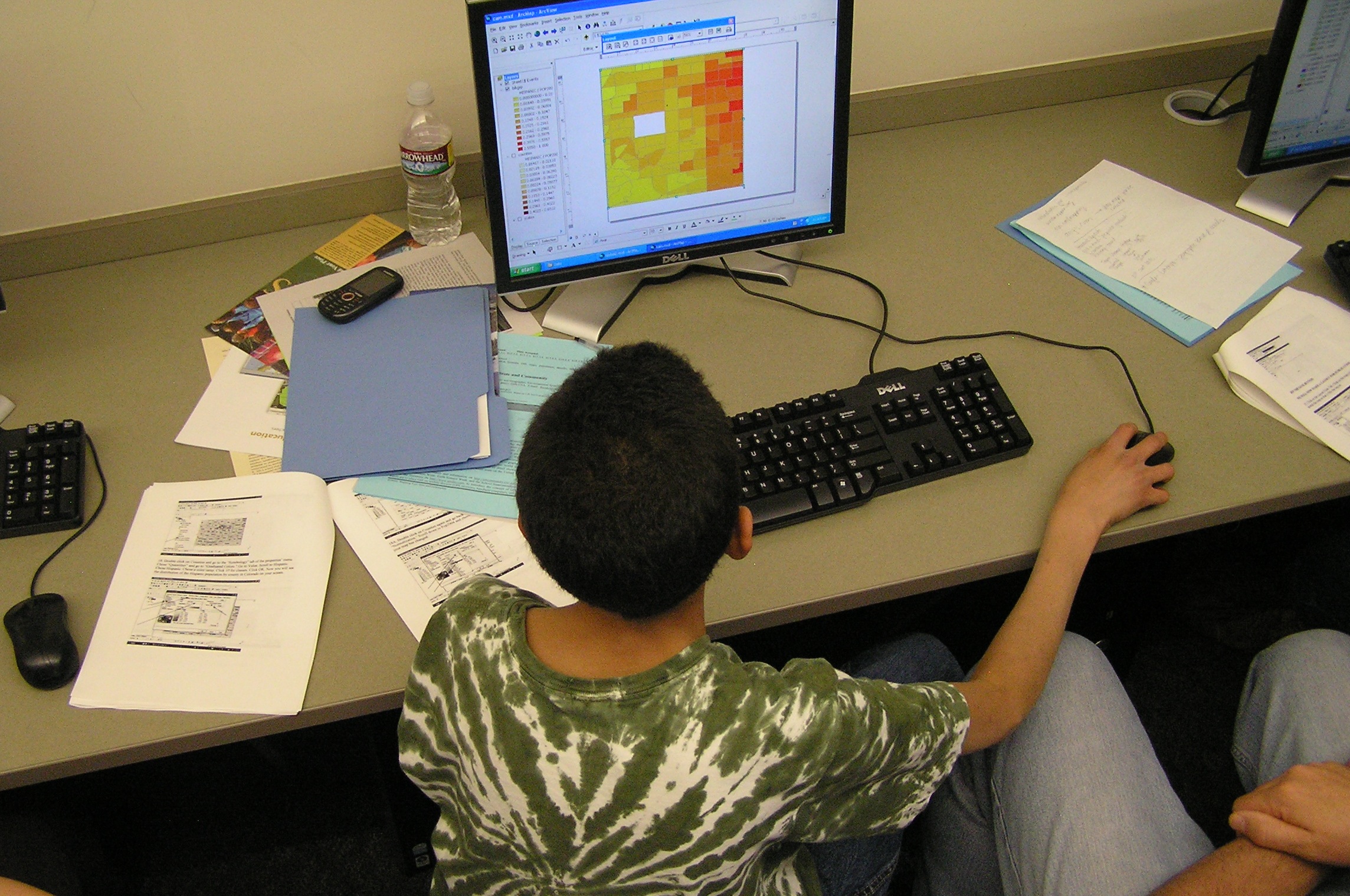
In my work with educators and students over the years, I have found that GIS is very well suited to the ill-structured problem. In fact, oftentimes, the best GIS problems are those that fit at least a few of the “ill-structured” criteria above. GIS was created to solve complex problems at multiple scales and from multiple viewpoints. Data in a GIS are imperfect, and are full of uncertainties, and students who work with them become critical consumers of data, an important 21st Century skill.
Students are often so used to a single “right” answer, and are initially baffled by PBL-based strategies and tools that engage those strategies such as GIS. Typically when I work with students using GIS, they ask me, “Is my map right?” In response, I ask them a question: “Does your map help you understand the problem or issue, and help you answer the questions being asked?” But, given time, they begin to understand that the issues they are grappling with are complex, and there might not be a single correct answer. Certainly, their final set of maps is not the end goal, but a means to an end in their inquiry-driven investigation.
For example, in the lesson that I created on analyzing the Hungary toxic flood of 2010 using ArcGIS Explorer, the environmental consequences of the flood are numerous, long-lasting, and occur at multiple scales. I ask the students to compare this incident with other toxic spills around the world, ending the lesson with asking students to analyze sources of toxins in their own community. Student answers will vary depending on where they live and how they judge the severity of different toxic spills around the world. If they can justify their answers, and back up their answers with data, including spatial data analyzed with their GIS tools, then I believe that their answers deserve high marks.

Stepien, William, and Shelagh Gallagher. 1993. Problem-based learning: As authentic as it gets. Authentic Learning 50(7): 25-28.
How can you design ill-structured problems using spatial analysis and GIS?
- Joseph Kerski, Esri Education Manager
You must be a registered user to add a comment. If you've already registered, sign in. Otherwise, register and sign in.
About the Author
I believe that spatial thinking can transform education and society through the application of Geographic Information Systems for instruction, research, administration, and policy.
I hold 3 degrees in Geography, have served at NOAA, the US Census Bureau, and USGS as a cartographer and geographer, and teach a variety of F2F (Face to Face) (including T3G) and online courses. I have authored a variety of books and textbooks about the environment, STEM, GIS, and education. These include "Interpreting Our World", "Essentials of the Environment", "Tribal GIS", "The GIS Guide to Public Domain Data", "International Perspectives on Teaching and Learning with GIS In Secondary Education", "Spatial Mathematics" and others. I write for 2 blogs, 2 monthly podcasts, and a variety of journals, and have created over 6,500 videos on my Our Earth YouTube channel.
Yet, as time passes, the more I realize my own limitations and that this is a lifelong learning endeavor: Thus I actively seek mentors and collaborators.
Labels
-
Administration
78 -
Announcements
80 -
Career & Tech Ed
1 -
Curriculum-Learning Resources
258 -
Education Facilities
24 -
Events
72 -
GeoInquiries
1 -
Higher Education
595 -
Informal Education
281 -
Licensing Best Practices
91 -
National Geographic MapMaker
33 -
Pedagogy and Education Theory
225 -
Schools (K - 12)
282 -
Schools (K-12)
273 -
Spatial data
35 -
STEM
3 -
Students - Higher Education
245 -
Students - K-12 Schools
129 -
Success Stories
36 -
TeacherDesk
1 -
Tech Tips
118
- « Previous
- Next »