- Home
- :
- All Communities
- :
- Industries
- :
- Education
- :
- Education Blog
- :
- Emerging Educational Themes from the Esri User Con...
Emerging Educational Themes from the Esri User Conference 2018
- Subscribe to RSS Feed
- Mark as New
- Mark as Read
- Bookmark
- Subscribe
- Printer Friendly Page
- Report Inappropriate Content
During this week as I spend time with 18,000 people at the Esri User Conference and at the Esri Education Summit, several themes have become evident. First, the GIS education community has enormous energy--they are enthusiastic about the new tools and data at our fingertips, yes, but more importantly, about the task of educating primary, secondary, community college, and university students about how to use GIS effectively to tackle a wide variety of problems. Second, they are dedicated--many are new to the field, some are 30 year veteran educators, but all are willing to invest the time needed to learn the most effective ways to teach with GIS and teach about GIS. They see the enormous return on investment--student engagement, job opportunities, community connection, and a wiser, more informed populace. Third, they model what it is to be a lifelong learner--willing to teach each other and learn from each other in our rapidly changing field and in our rapidly changing world. At the conference, we heard many inspiring stories and were presented with many models of the use of geotechnologies in the areas of natural hazards, population change, energy, water, health, business, and other application areas that we can use in our instruction.
For example, at the Education Summit keynote, stories were shared about the progress of GIS in education in the UK and beyond, about how the University of Southern California is understanding aging in the community, and how an innovative masters degree among three universities in Europe was conceived and implemented. We learned about new imagery, layers in the Living Atlas of the World, new capabilities in field apps, in ArcGIS Pro, in Community Analyst, and in ArcGIS Online that we can use. We learned about new books such as Cartography and Getting to Know Web GIS, new resources such as the new Esri Training site and the Learn ArcGIS library, that can be accessed again and again.
Our community is faced with an enormous challenge--to increase the spatial literacy of our students, and by extension, all of society. But we have excellent tools, excellent data, and most of all--a wonderful and diverse community of people, to meet this challenge for a brighter future.

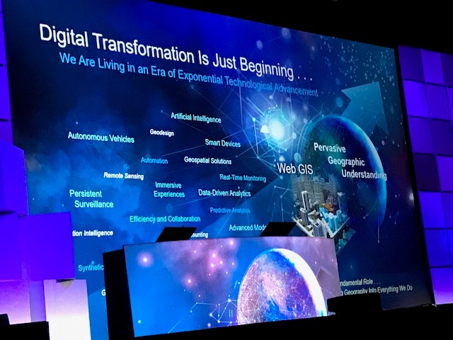
Learning about new tools, resources, and people at the Esri User Conference plenary session.

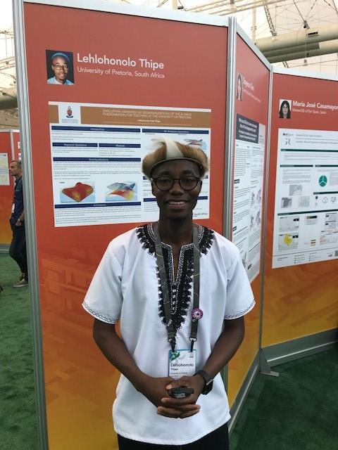
One of the Esri Young Scholars. They came from all over the world and were truly were inspiring.

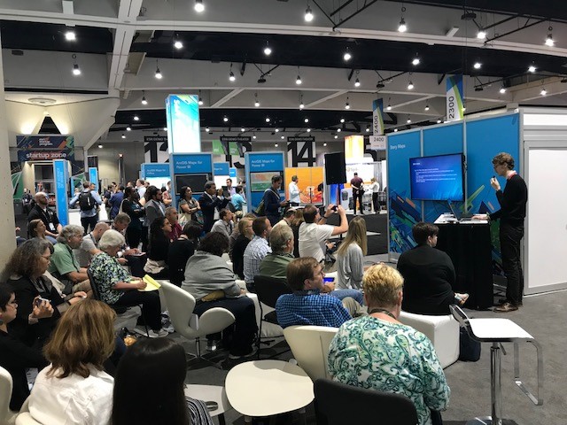
Learning and growing at the Esri User Conference Expo.
You must be a registered user to add a comment. If you've already registered, sign in. Otherwise, register and sign in.
-
Administration
55 -
Announcements
63 -
Career & Tech Ed
1 -
Curriculum-Learning Resources
219 -
Education Facilities
24 -
Events
59 -
GeoInquiries
1 -
Higher Education
553 -
Informal Education
272 -
Licensing Best Practices
62 -
National Geographic MapMaker
24 -
Pedagogy and Education Theory
205 -
Schools (K - 12)
282 -
Schools (K-12)
220 -
Spatial data
27 -
STEM
3 -
Students - Higher Education
239 -
Students - K-12 Schools
109 -
Success Stories
31 -
TeacherDesk
1 -
Tech Tips
90
- « Previous
- Next »