- Home
- :
- All Communities
- :
- Industries
- :
- Education
- :
- Education Blog
- :
- Congratulations to the 2019 Esri Young Scholar Awa...
Congratulations to the 2019 Esri Young Scholar Award Winners!
- Subscribe to RSS Feed
- Mark as New
- Mark as Read
- Bookmark
- Subscribe
- Printer Friendly Page
- Report Inappropriate Content
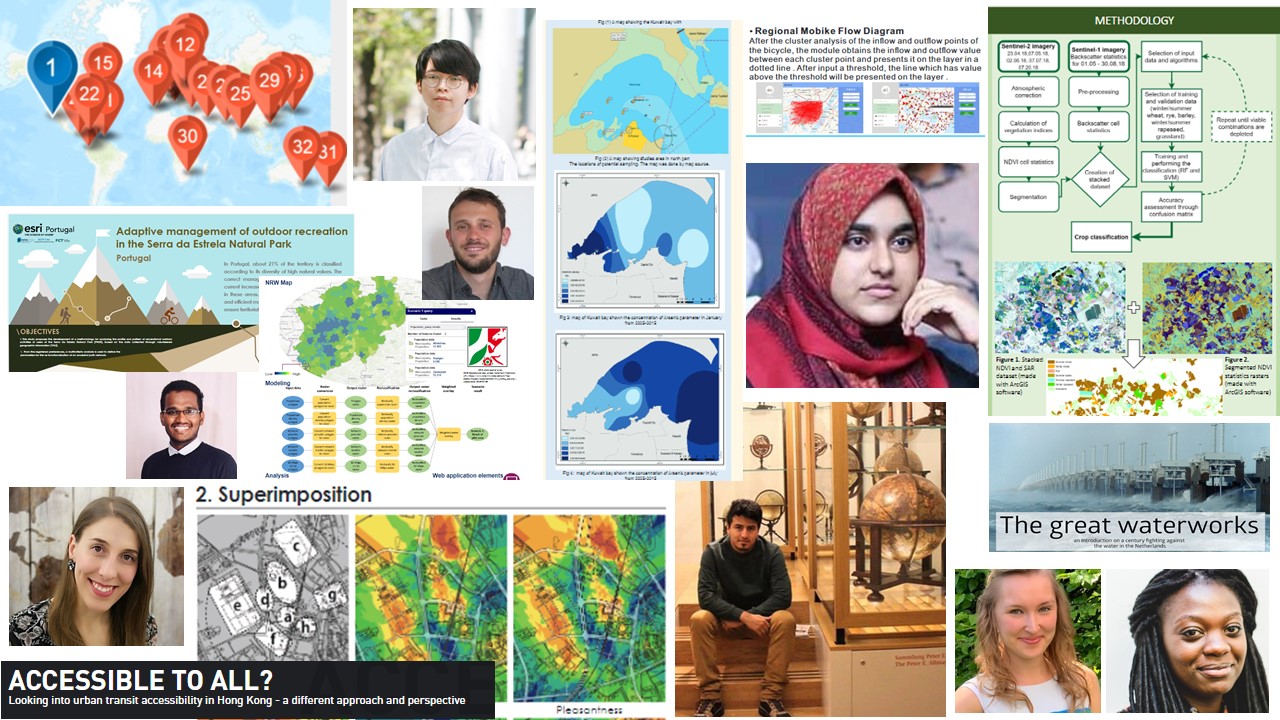
Coordinated by Esri's international distributors and Esri's international and education teams, the Esri's Young Scholars Award program was launched in 2012. Winners are honored each year at the Esri User Conference. The program recognizes the exemplary work of current undergraduate and graduate majoring in geospatial science disciplines at international universities. Winning entries are selected by a university panel formed by Esri's distributor in the recipient's respective country. Award winners travel to San Diego to present their work and join nearly 20,000 GIS professionals in a week-long program of presentations, workshops, and social events. This year, 31 Young Scholars were awarded from 6 continents, and their work spans covers topics ranging from transit, natural hazards, habitat, urban planning, historical monuments, and much more. To accomplish their work, they performed some deeply insightful spatial analysis using Esri GIS software, examined existing and created their own spatial data sets, created web mapping applications, conducted a wide range of field work from noise monitoring to interviews, used UAV and other new tools, and more. The scholars honed their communication skills by creating graphs, charts, maps, story maps, and posters.
See for yourself! Use this story map that features the work that these fine Young Scholars have done that my colleague here at Esri and I created. See my video describing their work. Explore their posters and show your students, colleagues, and others how GIS helps make wise decisions and build a better world. Use the story map to get a sense for the diversity of scales, themes, and problems that can be addressed with GIS. Use it to be inspired that the future of GIS work is in good hands!

Collage of a sample of the exemplary work by the 2019 Esri Young Scholars.
Congratulations to all the award winners and best wishes to you on your journey!
You must be a registered user to add a comment. If you've already registered, sign in. Otherwise, register and sign in.
-
Administration
55 -
Announcements
63 -
Career & Tech Ed
1 -
Curriculum-Learning Resources
219 -
Education Facilities
24 -
Events
59 -
GeoInquiries
1 -
Higher Education
553 -
Informal Education
272 -
Licensing Best Practices
62 -
National Geographic MapMaker
24 -
Pedagogy and Education Theory
205 -
Schools (K - 12)
282 -
Schools (K-12)
220 -
Spatial data
27 -
STEM
3 -
Students - Higher Education
239 -
Students - K-12 Schools
109 -
Success Stories
31 -
TeacherDesk
1 -
Tech Tips
90
- « Previous
- Next »