- Home
- :
- All Communities
- :
- Industries
- :
- Education
- :
- Education Blog
- :
- Analyzing change over space and time with the Land...
Analyzing change over space and time with the Landsat Lens
- Subscribe to RSS Feed
- Mark as New
- Mark as Read
- Bookmark
- Subscribe
- Printer Friendly Page
After over 8 wonderful years, the Change Matters viewer recently had to be sunsetted (it was using old technology). After testing several equivalent data sets and tools for a suitable substitute for teaching change-over-time, I settled on the Landsat Lens for introductory investigations. It is a wonderfully rich tool that covers the planet as a series of images covering over 40 years of change. For a follow-on activity, you could use the swipe tools that exist on the Landsat Explorer Esri app where you can build your own swipe image for your own customized dates. And, finally, in ArcGIS Pro, there is no shortage of change detection tools that more advanced students can use.
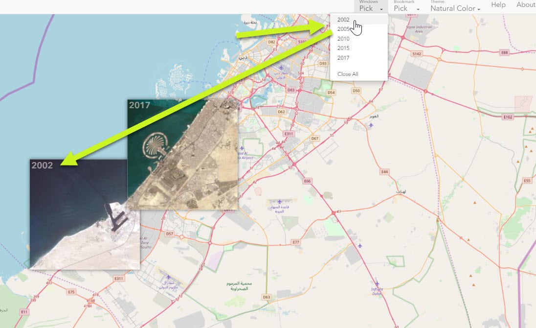
Attached is the lesson I created that uses the Landsat Lens. In it, you will examine change from natural and human causes in Abu Dhabi, Mt St Helens, the Aral Sea, and in Melbourne, but the most amazing thing about this tool is that it works everywhere on the planet! Hence, you can use it to investigate changes in water levels in reservoirs, extent of glaciers, coastal erosion, urban sprawl, deforestation and reforestation, agricultural expansion and contraction, and much more.
--Joseph Kerski

Using the Landsat Lens for examining changes in Abu Dhabi.
You must be a registered user to add a comment. If you've already registered, sign in. Otherwise, register and sign in.
-
Administration
78 -
Announcements
80 -
Career & Tech Ed
1 -
Curriculum-Learning Resources
258 -
Education Facilities
24 -
Events
72 -
GeoInquiries
1 -
Higher Education
595 -
Informal Education
281 -
Licensing Best Practices
91 -
National Geographic MapMaker
33 -
Pedagogy and Education Theory
225 -
Schools (K - 12)
282 -
Schools (K-12)
273 -
Spatial data
35 -
STEM
3 -
Students - Higher Education
245 -
Students - K-12 Schools
129 -
Success Stories
36 -
TeacherDesk
1 -
Tech Tips
118
- « Previous
- Next »