Turn on suggestions
Auto-suggest helps you quickly narrow down your search results by suggesting possible matches as you type.
Cancel
7 Ways to Map Your Field Data
Subscribe
870
0
07-11-2014 12:07 AM
- Subscribe to RSS Feed
- Mark as New
- Mark as Read
- Bookmark
- Subscribe
- Printer Friendly Page
07-11-2014
12:07 AM
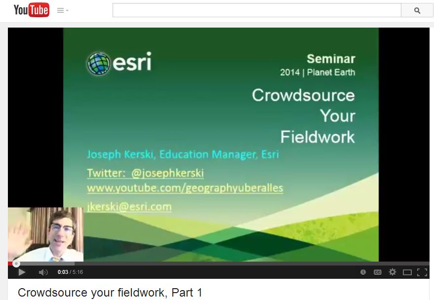
Mapping field data can serve as project-based learning environments that promote environmental, social, and technological fluency, as I wrote about in Earthzine, and as others such as Richard Louv have written about much more eloquently than I. What are seven easy ways in which you can map field-collected data? I have recorded a three-part video series (Part 1, Part 2, and Part 3) wherein I describe all seven ways.
These ways include (1) via files and spreadsheets that are stored locally on your computer, (2) via files and spreadsheets that are stored online, (3) via shared web forms, (4) via smartphone apps, including the Collector for ArcGIS app, (5) via editing of ArcGIS Online map notes, (6) via uploading of your geospatial data to ArcGIS Online, and (7) via editable feature services. which enables true citizen science mapping in the sense that you can "crowdsource your fieldwork" as my colleague Charlie Fitzpatrick has written about.
As I hope these videos demonstrate, it is very easy not only to bring in your field-collected data into ArcGIS Online, but to map and analyze it there. But I can’t give all of the details away: Watch the videos to find out!
You must be a registered user to add a comment. If you've already registered, sign in. Otherwise, register and sign in.
About the Author
I believe that spatial thinking can transform education and society through the application of Geographic Information Systems for instruction, research, administration, and policy.
I hold 3 degrees in Geography, have served at NOAA, the US Census Bureau, and USGS as a cartographer and geographer, and teach a variety of F2F (Face to Face) (including T3G) and online courses. I have authored a variety of books and textbooks about the environment, STEM, GIS, and education. These include "Interpreting Our World", "Essentials of the Environment", "Tribal GIS", "The GIS Guide to Public Domain Data", "International Perspectives on Teaching and Learning with GIS In Secondary Education", "Spatial Mathematics" and others. I write for 2 blogs, 2 monthly podcasts, and a variety of journals, and have created over 6,500 videos on my Our Earth YouTube channel.
Yet, as time passes, the more I realize my own limitations and that this is a lifelong learning endeavor: Thus I actively seek mentors and collaborators.
Labels
-
Administration
80 -
Announcements
80 -
Career & Tech Ed
1 -
Curriculum-Learning Resources
259 -
Education Facilities
24 -
Events
72 -
GeoInquiries
1 -
Higher Education
599 -
Informal Education
281 -
Licensing Best Practices
93 -
National Geographic MapMaker
33 -
Pedagogy and Education Theory
226 -
Schools (K - 12)
282 -
Schools (K-12)
274 -
Spatial data
35 -
STEM
3 -
Students - Higher Education
247 -
Students - K-12 Schools
129 -
Success Stories
36 -
TeacherDesk
1 -
Tech Tips
122
- « Previous
- Next »
