- Home
- :
- All Communities
- :
- Industries
- :
- Education
- :
- Education Blog
- :
- Collecting, Mapping, Analyzing, & Communicating F...
Collecting, Mapping, Analyzing, & Communicating Field Data: A Lesson
- Subscribe to RSS Feed
- Mark as New
- Mark as Read
- Bookmark
- Subscribe
- Printer Friendly Page
ArcGIS is a platform, which means that (1) applications can be built upon it, which offer powerful capabilities for educators and students, and (2) the tools within the platform are connected. When these ArcGIS connected tools are used in tandem, complete experiences are easily realized. One example is fieldwork: Planning > Collection > Mapping > Analysis > Communicating > Monitoring. GIS enhances each step in this process. The attached activity I created guides you and your students through the following 10 steps:
- Considering why and how to conduct fieldwork.
- Understanding the scope and purpose of Esri field and office apps.
- Understanding some of the most popular ways to map field-collected data in ArcGIS Online.
- Creating a field survey using one of these apps, Survey123.
- Collecting data into the survey.
- Creating an ArcGIS Online map from the survey data.
- Symbolizing, classifying, and examining the data in the ArcGIS Online map.
- Conducting spatial analysis using the ArcGIS Online map.
- Creating an operations dashboard from the survey data.
- Creating a story map from the ArcGIS Online map, operations dashboard, and survey.
This workflow touches several key tools and methods for collecting, mapping, analyzing, and communicating the results of fieldwork. It is my hope that through this lesson, you will consider what data you would like to collect, and be empowered and confident that you can use these tools in your own work in education and beyond.
--Joseph Kerski

One of the messages of the activity--don't just map your field-collected data--analyze it and understand it!
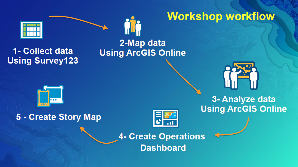
Part of the attached lesson showing the workflow that touches on several key tools and methods for collecting, mapping, analyzing, and communicating the results of fieldwork.
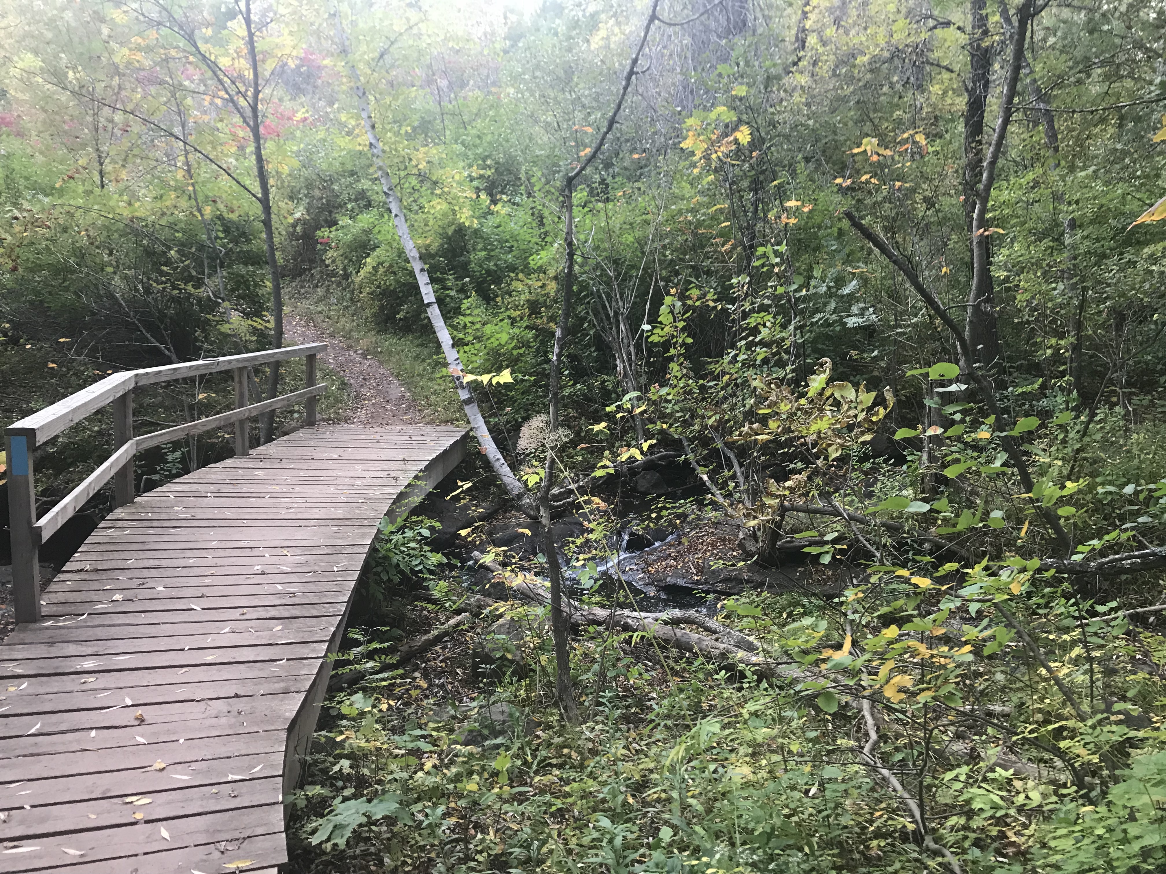
Collecting data in the field is important--plants, animals, weather, soil moisture, water quality, condition of trails, and much more, and can be done through these connected tools in the ArcGIS platform. Photo by Joseph Kerski.
You must be a registered user to add a comment. If you've already registered, sign in. Otherwise, register and sign in.
-
Administration
90 -
Announcements
88 -
Career & Tech Ed
1 -
Curriculum-Learning Resources
288 -
Education Facilities
24 -
Events
78 -
GeoInquiries
1 -
Higher Education
620 -
Informal Education
286 -
Licensing Best Practices
102 -
National Geographic MapMaker
44 -
Pedagogy and Education Theory
243 -
Schools (K - 12)
282 -
Schools (K-12)
311 -
Spatial data
40 -
STEM
3 -
Students - Higher Education
261 -
Students - K-12 Schools
149 -
Success Stories
45 -
TeacherDesk
1 -
Tech Tips
130
- « Previous
- Next »