Turn on suggestions
Auto-suggest helps you quickly narrow down your search results by suggesting possible matches as you type.
Cancel
- Home
- :
- All Communities
- :
- Industries
- :
- Education
- :
- Education Blog
- :
- The Grand Challenges of GIS in Instruction
The Grand Challenges of GIS in Instruction
Subscribe
216
0
06-29-2017 12:32 AM
- Subscribe to RSS Feed
- Mark as New
- Mark as Read
- Bookmark
- Subscribe
- Printer Friendly Page
- Report Inappropriate Content
06-29-2017
12:32 AM
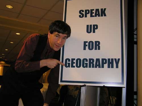
Last week I wrote about what several geographers consider to be the “grand challenges of Geographic Information Sciences.” But to grapple with these grand challenges, we need to have people moving into the field of GIScience in the first place. To do that, we must engage students in thinking about their community, region, country, and world in a geospatial context, beginning at young ages. How can we help students to see that every major current issue—from natural hazards, biodiversity, agriculture, energy, water quality and availability, human health, social justice, politics, migration, climate, crime, and many more—are inextricably linked to geographic processes that occur over space and time? Using GIS is one powerful way of seeing these patterns, processes, and connections.
Students using GIS apply scientific inquiry—ask a question, gather data, understand data, analyze data, draw conclusions, and develop a fuller understanding about a particular issue. One of my favorite aspects of using GIS in instruction is that it helps to understand change. Changes from human and natural causes occur all around us, and if students analyze why and how things change, then they can begin thinking on a deeper level: Should the Earth be changing in these ways? Is there anything that I could or should be doing about it? This captures not only the heart of spatial thinking, inquiry and problem-based learning, but also empowers students as they become decision-makers to make a difference in this changing world of ours. GIS has ties to many disciplines, but a natural home for GIS in education is in geography, which has not seen consistent and high support over the past century in American education. How can we change this?

I stated above that we must engage students in thinking spatially. But before that can happen, we must engage students, period. Too often, students are bored, viewing education as something that ends as soon as they graduate, instead of being a lifelong learning experience. We must allow them the freedom, support, and tools so that they can discover and pursue their interests. This may be the grandest challenge of all.
All of the topics raised here can be debated and expanded. I look forward to your thoughts.
- Joseph Kerski, ESRI Education Manager.
You must be a registered user to add a comment. If you've already registered, sign in. Otherwise, register and sign in.
About the Author
I believe that spatial thinking can transform education and society through the application of Geographic Information Systems for instruction, research, administration, and policy.
I hold 3 degrees in Geography, have served at NOAA, the US Census Bureau, and USGS as a cartographer and geographer, and teach a variety of F2F (Face to Face) (including T3G) and online courses. I have authored a variety of books and textbooks about the environment, STEM, GIS, and education. These include "Interpreting Our World", "Essentials of the Environment", "Tribal GIS", "The GIS Guide to Public Domain Data", "International Perspectives on Teaching and Learning with GIS In Secondary Education", "Spatial Mathematics" and others. I write for 2 blogs, 2 monthly podcasts, and a variety of journals, and have created over 5,000 videos on the Our Earth YouTube channel.
Yet, as time passes, the more I realize my own limitations and that this is a lifelong learning endeavor and thus I actively seek mentors and collaborators.
Labels
-
Administration
50 -
Announcements
60 -
Career & Tech Ed
1 -
Curriculum-Learning Resources
211 -
Education Facilities
24 -
Events
55 -
GeoInquiries
1 -
Higher Education
546 -
Informal Education
272 -
Licensing Best Practices
59 -
National Geographic MapMaker
22 -
Pedagogy and Education Theory
203 -
Schools (K - 12)
282 -
Schools (K-12)
214 -
Spatial data
25 -
STEM
3 -
Students - Higher Education
237 -
Students - K-12 Schools
106 -
Success Stories
29 -
TeacherDesk
1 -
Tech Tips
87
- « Previous
- Next »