Turn on suggestions
Auto-suggest helps you quickly narrow down your search results by suggesting possible matches as you type.
Cancel
- Home
- :
- All Communities
- :
- Industries
- :
- Education
- :
- Education Blog
- :
- The Grand Challenges of Geographic Information Sci...
The Grand Challenges of Geographic Information Science
Subscribe
214
0
06-29-2017 12:37 AM
- Subscribe to RSS Feed
- Mark as New
- Mark as Read
- Bookmark
- Subscribe
- Printer Friendly Page
- Report Inappropriate Content
06-29-2017
12:37 AM
At this year’s annual meeting of the Association of American Geographers, Dr. Dawn Wright (Oregon State University) and Dr. Chaowei Yang (George Mason University) organized a session to address: “What are the grand challenges of Geographic Information Science?” Their definition of grand challenges were “questions and directives that: (1) are extremely hard to do, yet are do-able; (2) produce outcomes potentially affecting millions, if not hundreds of millions of people; (3) require multiple research projects across many subdisciplines in order to be satisfactorily addressed; (4) consist of well-defined metrics such that, through creativity and commitment, can be realistically met and [there is understanding when the] end has been reached; (5) capture the popular imagination, and thus political support.”
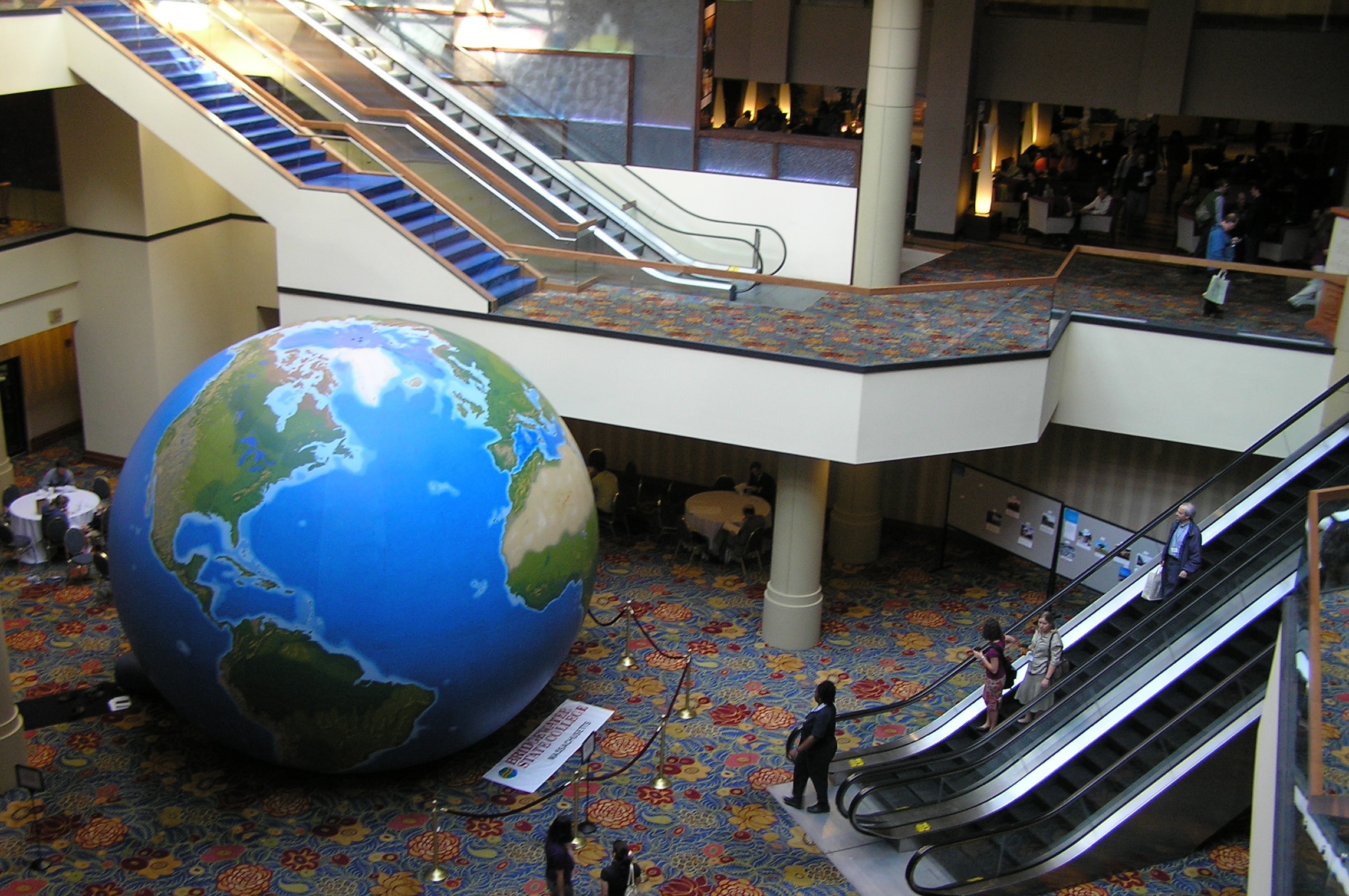
Running through the session was the theme of the digital earth—to make accessible a wealth of geospatial data and tools that enables people to make everyday decisions more efficiently and wisely based on the spatial perspective. The now-familiar concept of citizens as sensors was mentioned frequently. That the EPA discussed having citizens monitor air and water quality is another indication that citizen science will be increasingly relied upon as part of the geo-monitoring system for the planet. That has enormous implications for standards, quality, and the metadata and databases that will need to be in place for it to be effectively used.
Dr. Peggy Agouris’ report about the recent NSF-sponsored workshop on geospatial and geotemporal informatics was encouraging. The workshop identified new challenges in information extraction and modeling, stated that data collection was still important and needed to be supported in industry, nonprofit organizations, and government agencies, and identified support for cross-discipline discovery using spatiotemporal information.
Tim Nyerges (University of Washington and University Consortium of GIS) reminded us of Keith Clarke’s UCGIS grand challenges from 2006: What is the cost to the nation of geospatial information that is inaccurate, over-accurate, or out-of-date? What role can geospatial technologies play in eliminating geographic illiteracy? In what ways have we yet to exploit the superiority of digital maps over paper maps? Can we complete a digital earth by 2009? (!) By how much can effective use of geospatial information improve human safety and welfare while reducing the associated costs? How can we best articulate GIScience as a core of interdisciplinary science, supporting information integration across multiple disciplines in large research projects? Tim also spoke about developing an assembly of geospatial technical and social components and activities that implement a regional network for disaster preparedness and response for the nation. This seems especially urgent in light of the Gulf oil spill!
Next week, I will put forward some “grand challenges” for GIS in education, and I welcome your thoughts.
–Joseph Kerski, ESRI Education Manager
You must be a registered user to add a comment. If you've already registered, sign in. Otherwise, register and sign in.
About the Author
I believe that spatial thinking can transform education and society through the application of Geographic Information Systems for instruction, research, administration, and policy.
I hold 3 degrees in Geography, have served at NOAA, the US Census Bureau, and USGS as a cartographer and geographer, and teach a variety of F2F (Face to Face) (including T3G) and online courses. I have authored a variety of books and textbooks about the environment, STEM, GIS, and education. These include "Interpreting Our World", "Essentials of the Environment", "Tribal GIS", "The GIS Guide to Public Domain Data", "International Perspectives on Teaching and Learning with GIS In Secondary Education", "Spatial Mathematics" and others. I write for 2 blogs, 2 monthly podcasts, and a variety of journals, and have created over 5,000 videos on the Our Earth YouTube channel.
Yet, as time passes, the more I realize my own limitations and that this is a lifelong learning endeavor and thus I actively seek mentors and collaborators.
Labels
-
Administration
50 -
Announcements
60 -
Career & Tech Ed
1 -
Curriculum-Learning Resources
211 -
Education Facilities
24 -
Events
55 -
GeoInquiries
1 -
Higher Education
546 -
Informal Education
272 -
Licensing Best Practices
59 -
National Geographic MapMaker
22 -
Pedagogy and Education Theory
203 -
Schools (K - 12)
282 -
Schools (K-12)
214 -
Spatial data
25 -
STEM
3 -
Students - Higher Education
237 -
Students - K-12 Schools
106 -
Success Stories
29 -
TeacherDesk
1 -
Tech Tips
87
- « Previous
- Next »
