- Home
- :
- All Communities
- :
- Products
- :
- ArcGIS QuickCapture
- :
- ArcGIS QuickCapture Blog
- :
- ArcGIS QuickCapture 1.6 released!
ArcGIS QuickCapture 1.6 released!
- Subscribe to RSS Feed
- Mark as New
- Mark as Read
- Bookmark
- Subscribe
- Printer Friendly Page
- Report Inappropriate Content
We just updated the ArcGIS QuickCapture mobile app across all supported platforms and refreshed the QuickCapture website and designer. Here is what is new:
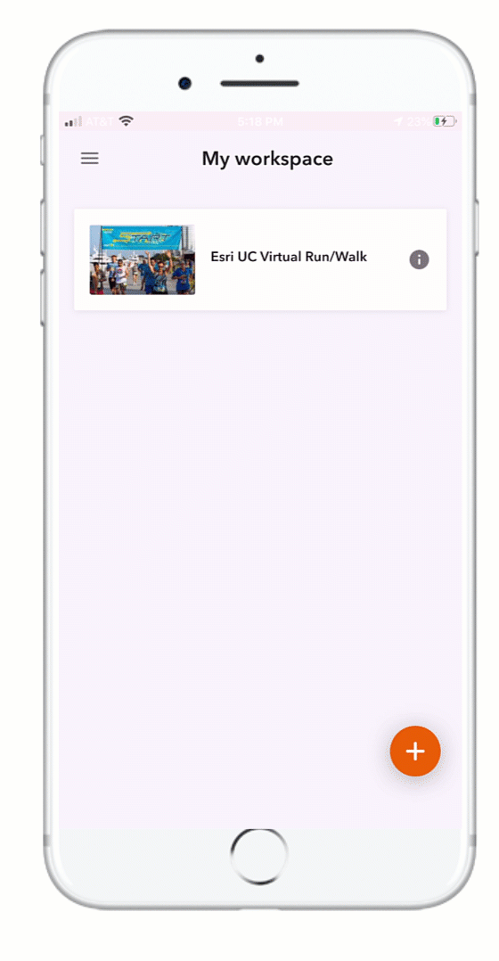
ArcGIS QuickCapture mobile app
Share QuickCapture projects from your own device
Starting with this release, you can share your QuickCapture projects with colleagues, right from your device. We added a couple of new handy options so you can quickly share a link to a project you already have, or display a QR code for others to scan.
You can access this new feature from the project details dialog. Note that at the top there is a menu button which will let you obtain the link or QR code.
If you choose to copy the link, you can share it by email, SMS, iOS AirDrop or through other apps installed in your device... think WhatsApp, WeChat, etc.
Whoever is presented with your QR Code or link, will need to be authorized the project you are sharing. This is not about bypassing the ArcGIS security model: this is about making it easier for you to share projects you have already downloaded with people around you, when appropriate.
Note for Android users
In accordance with security requirements by Google for applications that target Android 10, QuickCapture now stores downloaded projects and unsent records in a new location. Up until this release, all application data was stored in Local Storage>ArcGIS>ArcGIS QuickCapture. The new location is Local Storage>Android>data>com.esri.arcgisquickcapture>files>ArcGIS> ArcGIS QuickCapture. Because of this change, you will need to download your QuickCapture projects again. Additionally, you will want to send any records left in your device before installing this release.
All Android users: Before upgrading ArcGIS QuickCapture to version 1.6, it is strongly recommended that you send all records on your device.
We are aware that this is an inconvenience to you, but it is a change that if needed for compatibility with Android 10. Also, note that subsequent upgrades of the QuickCapture app will not require you to send records before the upgrade.
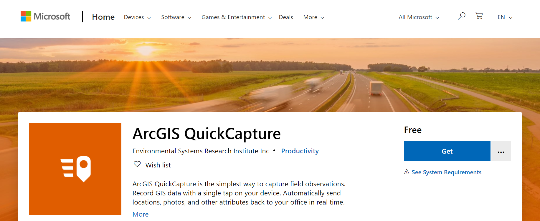
ArcGIS QuickCapture in the Microsoft Store
QuickCapture's support for Windows has been present since its first release. The Windows installer can be downloaded from our resources page. With this release, you can also install the QuickCapture mobile app directly from the Microsoft Store. We know this is important to some of you, so we are pleased to announce it!
Simulate locations in the QuickCapture mobile app
This one may not be of interest to everybody, but if you ever need to simulate locations in the mobile app, now you can! Since QuickCapture is about field data collection while on the move, we wanted to provide options for you to simulate not just a fixed location but also a track. Essentially, now you can setup a file location provider in the mobile app and feed it with a NMEA file. NMEA files can be easily generated. Once your file location provider is set, you can easily test and demo the QuickCapture mobile app as if you were outside, while sitting on your desk. To learn more about this, check our Simulating Locations in ArcGIS QuickCapture mobile app blog post.
QuickCapture designer enhancements
ArcGIS QuickCapture designer lets you create and manage QuickCapture projects, right from your web browser. In this update, we are adding a handful of productivity enhancements as well as new features for you to better control the data capture experience in the QuickCapture mobile app. Here are the highlights:
Support for shared update groups in QuickCapture designer
ArcGIS shared update groups are designed to allow members of the group to make changes to items in it. Say for example John, Karissa and Anna belong to an ArcGIS group configured with shared update capabilities. If John shares an ArcGIS QuickCapture project with that group, then Anna and Karissa will be able make changes in that project. For example: change the description, thumbnail, map, device variables, buttons and layout of the project.
Updating sharing, changing ownership, or deleting the project are actions that only the owner of the project or a user with administrative privileges can do. Support for shared update groups brings more flexibility to the management and design of QuickCapture projects. To learn more about shared update groups, check Create groups—ArcGIS Online Help | Documentation
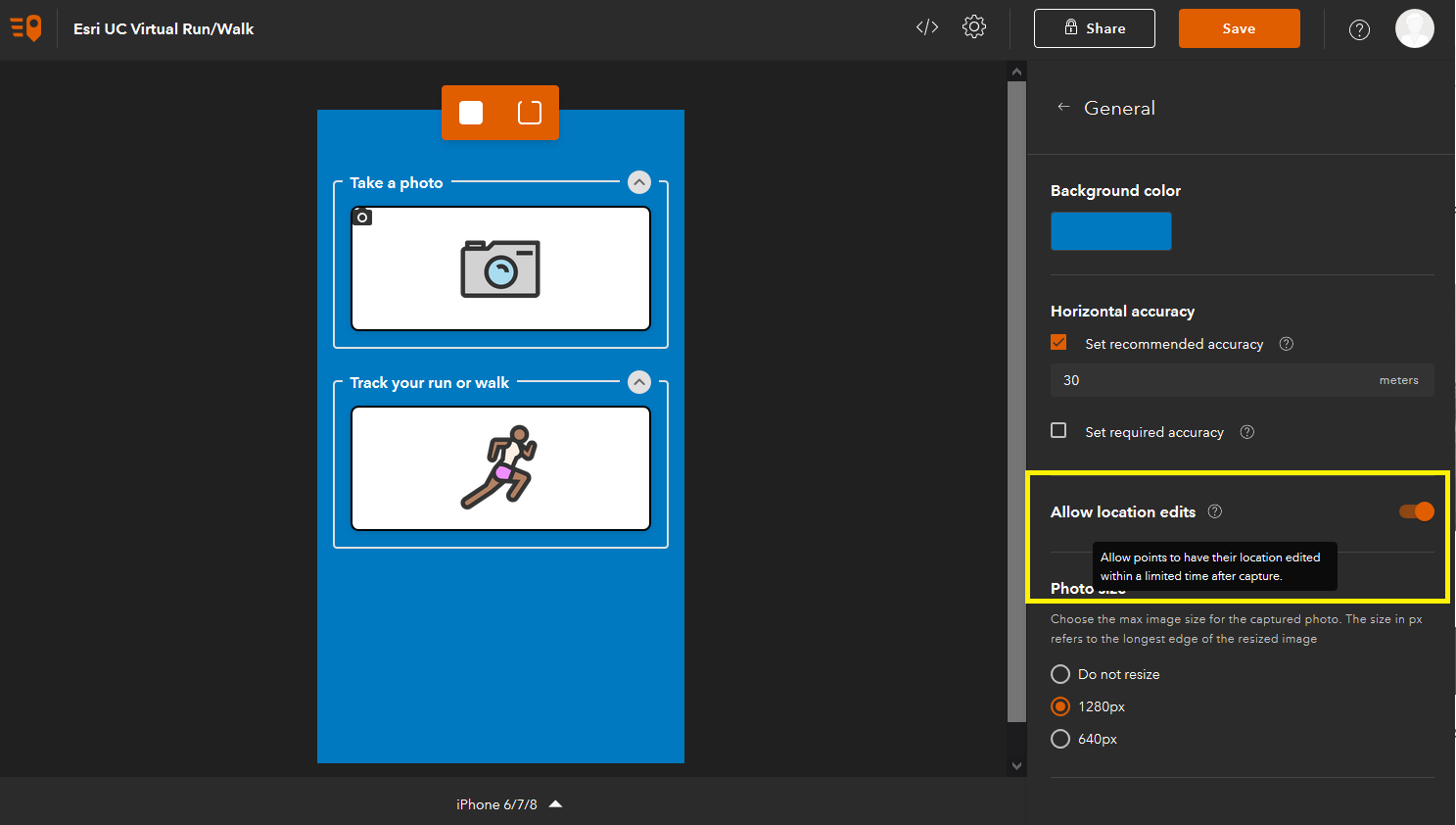
Disable location editing
While QuickCapture uses the location of your device when you capture a point observation, it is possible for end users to make adjustments right after having pushed the button. For example, if you are documenting a violation of right of way across a power line, you may want to adjust the location of the observation to center it in its actual location, rather than yours. This is a very handy feature, but in some cases you do not want field users to alter the location of events captured. Now you can optionally disable location editing from QuickCapture designer as shown in the screenshot below.
Custom template gallery
We introduced the concept of QuickCapture templates in our previous update. QuickCapture templates are ready to use QuickCapture projects which you can use to kick-start your own projects. We have created a small number of templates, but we recognize that many of you would like to create your own and share them within your organization. In this way, you can create relevant templates to your workflows and help standardize field data collection projects within your organization.
With this update, you can configure the QuickCapture template gallery to feed from a group in your own ArcGIS organization. Just like you can define a custom group to set the basemaps in your org, you can also set a group to define your own QuickCapture templates. Like other ArcGIS organizational settings, this property can only be updated by a user with administrative privileges.
As shown in the screenshot below, you can click on your profile to bring the Administrator Settings dialog. Within that dialog you can set the template group and decide if the Esri templates should be shown to users of your organization or not.

Other enhancements
This release includes some additional enhancements and fixes. For details, check out What's New help topic, which also will help you review highlights for previous versions.
We hope all these new features and enhancements are of your interest. We are now heads down working in our next update, which is planned for early October. We want to bring more exciting new features for you!
You must be a registered user to add a comment. If you've already registered, sign in. Otherwise, register and sign in.