- Home
- :
- All Communities
- :
- Products
- :
- Geoprocessing
- :
- Geoprocessing Questions
- :
- "merge" two raster datasets
- Subscribe to RSS Feed
- Mark Topic as New
- Mark Topic as Read
- Float this Topic for Current User
- Bookmark
- Subscribe
- Mute
- Printer Friendly Page
- Mark as New
- Bookmark
- Subscribe
- Mute
- Subscribe to RSS Feed
- Permalink
Hi,
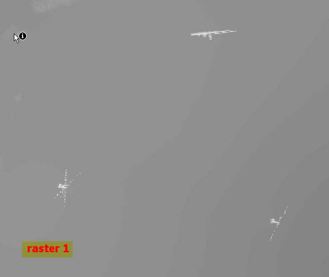
We need to merge two DEM rasters, so the values from raster 2 (see below) will be "inserted" into the raster values of raster 1. As you can see in raster 1 we have buildings which need to get cut off the surface. Raster 1 is from LIDAR raster 2 is a DEM. We want to visualize these buildings in ArcScene and drape the orthophoto ontop of the LIDAR raster, but the draped orthophoto would look bad in the buildings areas:


With raster calculator usage we only would get the buffer zones around the buildings without the rest of the LIDAR dataset info.
Solved! Go to Solution.
Accepted Solutions
- Mark as New
- Bookmark
- Subscribe
- Mute
- Subscribe to RSS Feed
- Permalink
Thank you Dan!
It worked with the raster calculator and Con but we had to increase the extent (rows and columns of the raster) to the LIDAR datasets extent.
So the workflow was as follows:
- buffer building point feature
- feature to raster conversion with customized output extent (geoprocessing settings, environmental setting) to the LIDARs extent
- Raster Calculator:
Con(IsNull("raster2"),"raster1","raster2")
That worked like a charm and gave is the needed output dataset
- Mark as New
- Bookmark
- Subscribe
- Mute
- Subscribe to RSS Feed
- Permalink
have you examined the use of conditional statements using Con ?
- Mark as New
- Bookmark
- Subscribe
- Mute
- Subscribe to RSS Feed
- Permalink
Thank you Dan!
It worked with the raster calculator and Con but we had to increase the extent (rows and columns of the raster) to the LIDAR datasets extent.
So the workflow was as follows:
- buffer building point feature
- feature to raster conversion with customized output extent (geoprocessing settings, environmental setting) to the LIDARs extent
- Raster Calculator:
Con(IsNull("raster2"),"raster1","raster2")
That worked like a charm and gave is the needed output dataset