- Home
- :
- All Communities
- :
- Products
- :
- Geoprocessing
- :
- Geoprocessing Questions
- :
- Re: Density and convert to polygon
- Subscribe to RSS Feed
- Mark Topic as New
- Mark Topic as Read
- Float this Topic for Current User
- Bookmark
- Subscribe
- Mute
- Printer Friendly Page
- Mark as New
- Bookmark
- Subscribe
- Mute
- Subscribe to RSS Feed
- Permalink
I have a point file that is spread over the state
I want to create a heat map based on a count field in the point data.
From there I want to create a polygon layer that shows the rings.
What I want is a value associated with the rings themselves...say 1-5 depending on the heat map/ kernel density representation.
I can then use those polygon rings for search/select boundaries
I tried to use Kernel density
I then try to convert to polygon and says invalid GP Type. I used the int function in tools and it only creates a single record....Very confused..
Any thoughts?
Solved! Go to Solution.
Accepted Solutions
- Mark as New
- Bookmark
- Subscribe
- Mute
- Subscribe to RSS Feed
- Permalink
I figured out a solution that worked for me....don know if this is the only way but it worked and sick of trying...
- I used Kernel Density and created a Raster
- I then classified it to 10 classes
- I then did a Reclassify on the Raster which actually created a table on the raster.
- I then was able to go Raster to Polygon directly
- This created all the proper rings based on the reclassified value.
- Mark as New
- Bookmark
- Subscribe
- Mute
- Subscribe to RSS Feed
- Permalink
I can then use those polygon rings for search/select boundaries
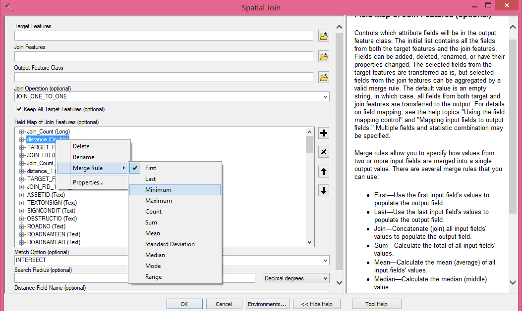
I think using Merge rule in Spatial Join saves many steps you want to do.
- Mark as New
- Bookmark
- Subscribe
- Mute
- Subscribe to RSS Feed
- Permalink
Maybe you wanted kernel density to return the expected counts (one of the options)
http://pro.arcgis.com/en/pro-app/tool-reference/spatial-analyst/kernel-density.htm
you can't convert a raster to polygons, you could contour a raster, but you would have limited success getting the contours to polygons
- Mark as New
- Bookmark
- Subscribe
- Mute
- Subscribe to RSS Feed
- Permalink
I figured out a solution that worked for me....don know if this is the only way but it worked and sick of trying...
- I used Kernel Density and created a Raster
- I then classified it to 10 classes
- I then did a Reclassify on the Raster which actually created a table on the raster.
- I then was able to go Raster to Polygon directly
- This created all the proper rings based on the reclassified value.