- Home
- :
- All Communities
- :
- Products
- :
- Geoprocessing
- :
- Geoprocessing Questions
- :
- Re: Arcgis very slow
- Subscribe to RSS Feed
- Mark Topic as New
- Mark Topic as Read
- Float this Topic for Current User
- Bookmark
- Subscribe
- Mute
- Printer Friendly Page
Arcgis very slow
- Mark as New
- Bookmark
- Subscribe
- Mute
- Subscribe to RSS Feed
- Permalink
Hello!
Does anyone know how I can speed up the process Join Space ?. On my machine it has taken too long.
This is my setup
i5 3.0 GHz
8GB RAM
thanks
- Mark as New
- Bookmark
- Subscribe
- Mute
- Subscribe to RSS Feed
- Permalink
We need details. Featureclasses? shapefiles? files on local disk? on network? are the files indexed? size?
or use small, indexed featureclasses stored on a local disk
- Mark as New
- Bookmark
- Subscribe
- Mute
- Subscribe to RSS Feed
- Permalink
The files are quite large, but I have done it before and had not taken so long.
I formatted the computer and now I'm with Win8
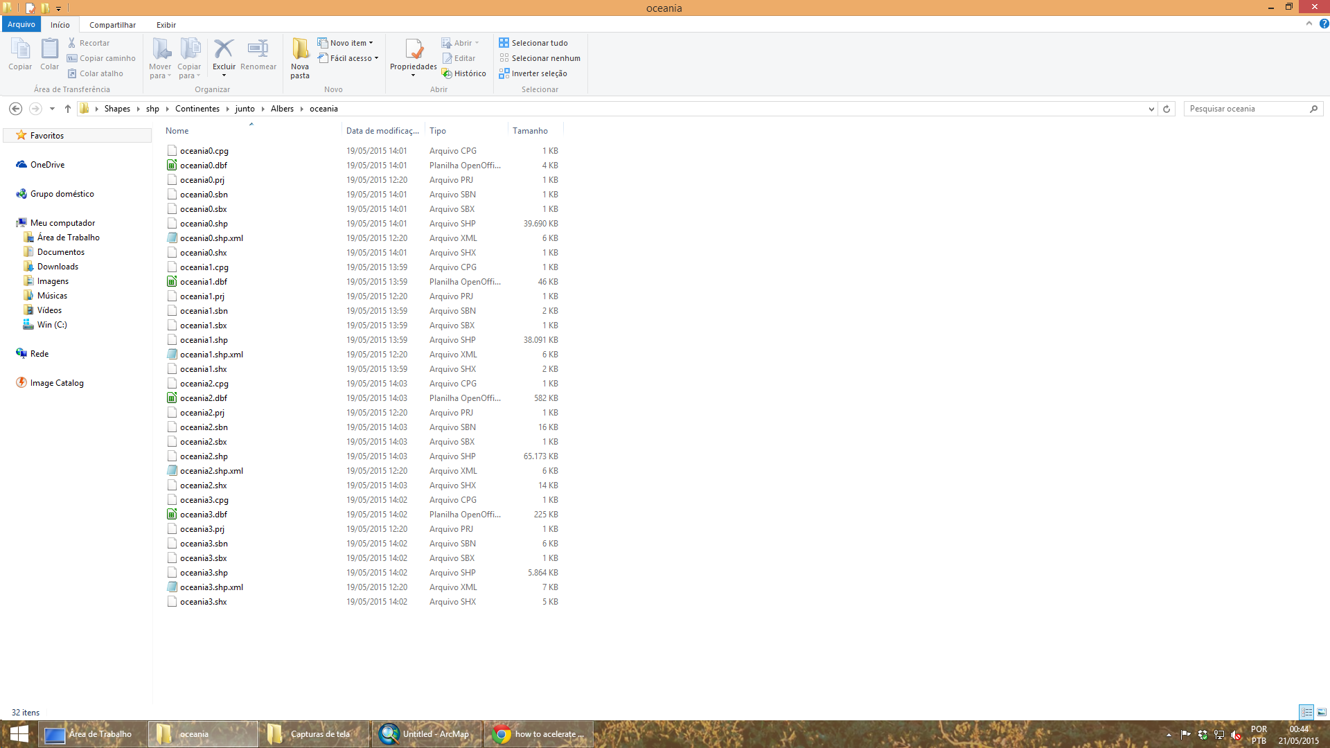
All files are on the PC, look at the printscreen of an example of all my files.
The idea is to cross points to polygons
Another issue is very different save files in a specific folder to save the directory: C: \ Users \ Joyce \ Documents \ ArcGIS \ Default1.gdb
- Mark as New
- Bookmark
- Subscribe
- Mute
- Subscribe to RSS Feed
- Permalink
See Curtis's comments in this thread regarding *.mxd's
Performance problems in desktop 10.3.1?
So 2 things. First, save to a simpler drive path...you should only use that c:\user\thingy folder for photos and junk
- Create/use a simpler folder ie c:\gis\file
- copy both files there
- start a new project and add both files either as shapefiles or send them to a new geodatabase
- make sure that they are in the SAME coordinate system...looking like they are isn't good enough...Use the Project tool to get them into the same projected coordinate system
- index the Shape field for both files
- try again
good luck
- Mark as New
- Bookmark
- Subscribe
- Mute
- Subscribe to RSS Feed
- Permalink
Thanks for the tips, will launch a new project this way to see if it helps.
- Mark as New
- Bookmark
- Subscribe
- Mute
- Subscribe to RSS Feed
- Permalink
Do you think that kind of projection could influence this type of analysis (join space)?
- Mark as New
- Bookmark
- Subscribe
- Mute
- Subscribe to RSS Feed
- Permalink
The shapes of the polygons were reprojected to Albers. The shape with the points I make from my data, first I do it in WGS after reprojected to Albers
These are the files of properties
The Datum makes sense with the projection?
| Data Type: | Shapefile Feature Class |
| Shapefile: | C:\a\south0.shp |
| Geometry Type: | Polygon |
| Coordinates have Z values: | No |
| Coordinates have measures: | No |
| Projected Coordinate System: | South_America_Albers_Equal_Area_Conic |
| Projection: | Albers |
| False_Easting: | 0,00000000 |
| False_Northing: | 0,00000000 |
| Central_Meridian: | -60,00000000 |
| Standard_Parallel_1: | -5,00000000 |
| Standard_Parallel_2: | -42,00000000 |
| Latitude_Of_Origin: | -32,00000000 |
| Linear Unit: | Meter |
| Geographic Coordinate System: | GCS_South_American_1969 |
| Datum: | D_South_American_1969 |
| Prime Meridian: | Greenwich |
| Angular Unit: | Degree |
- Mark as New
- Bookmark
- Subscribe
- Mute
- Subscribe to RSS Feed
- Permalink
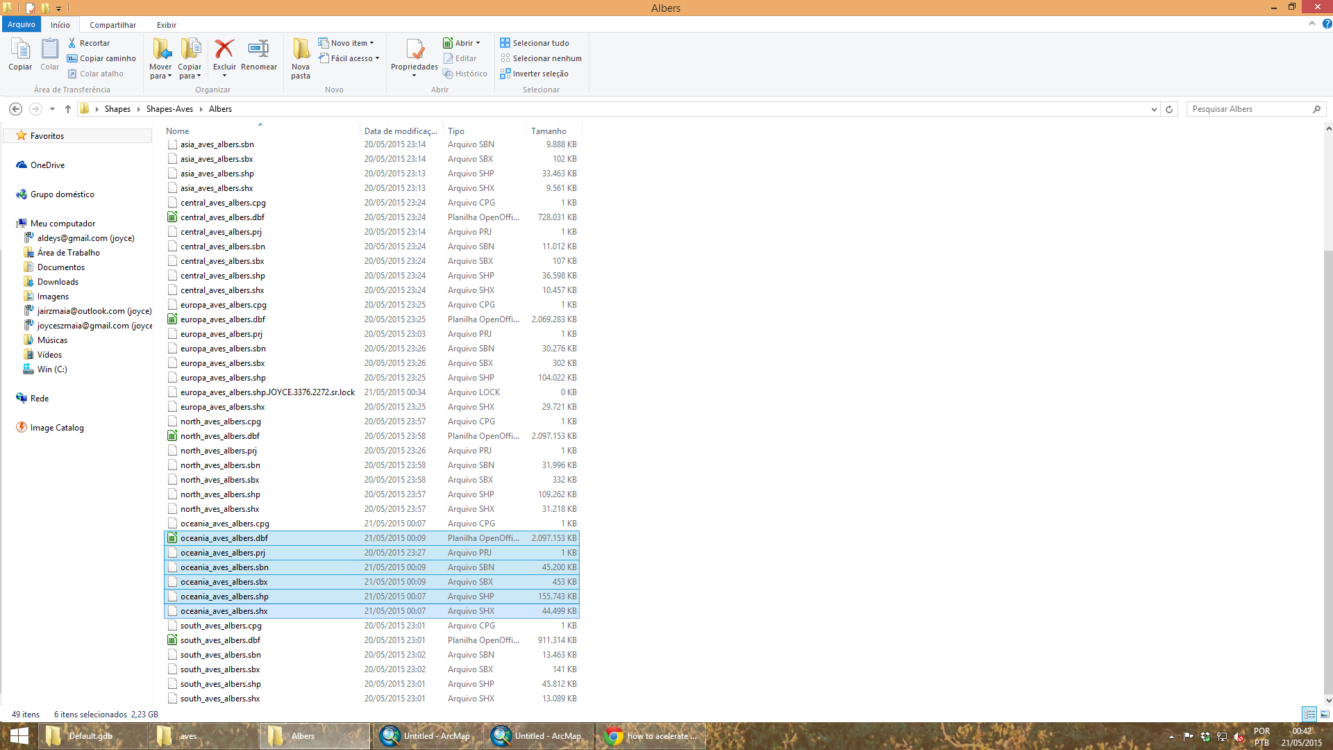
You have a shapefile there that has a dbf approaching the 2GB limit. This is an operating system limit!
You may want to consider putting these feature classes in a file geodatabase. They are pretty big but at least your processing is more likely work at all.
- Mark as New
- Bookmark
- Subscribe
- Mute
- Subscribe to RSS Feed
- Permalink
The file is too large. I have over 4 million points to join with many polygons.
- Mark as New
- Bookmark
- Subscribe
- Mute
- Subscribe to RSS Feed
- Permalink
Are you talking about a Spatial Join, Joyce? The projection you use shouldn't slow things down, but as Dan says you do want everything in the same projection. Can you make a file geodatabase in ArcCatalog (right click in your folder, select new-->file geodatabase), then export all your shapefiles into the geodatabase (In ArcCatalog right click one of them, select export-->to geodatabase (multiple), and then add all your shapefiles into the dialog).