Turn on suggestions
Auto-suggest helps you quickly narrow down your search results by suggesting possible matches as you type.
Cancel
- Home
- :
- All Communities
- :
- Industries
- :
- Education
- :
- Education Blog
- :
- Why GIS in Education Matters: 1 Page Document
Why GIS in Education Matters: 1 Page Document
Subscribe
1054
0
09-18-2015 12:00 AM
- Subscribe to RSS Feed
- Mark as New
- Mark as Read
- Bookmark
- Subscribe
- Printer Friendly Page
09-18-2015
12:00 AM
I have recently updated a document entitled "Why GIS in Education Matters" and have placed it online. It represents my attempt to provide the most compelling and important reasons to teach and learn with Geographic Information Systems in a concise document that takes up no more than both sides of a single page. While we have discussed other documents, messages, lessons, and videos in this blog over the years that are tailored to specific educational levels, needs, and content areas, this document contains the "essentials" that I have found resonate with the widest group of educators. These essentials include critical thinking, career pathways, spatial thinking, the whys of where, asking good questions, sustainability and green technology, and mapping changes over space and time.
I am interested in your reactions to this document: What is missing from this document? What is useful about this document? In what settings could you use this in your own work with fellow faculty, with faculty from other disciplines, with administrators, with parents, and with students? What do you include in your own documents with similar goals?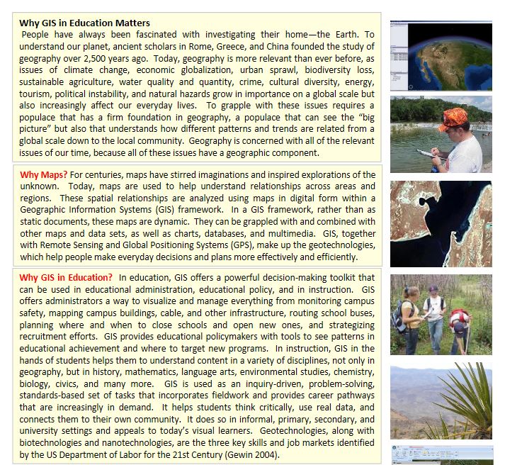
I am interested in your reactions to this document: What is missing from this document? What is useful about this document? In what settings could you use this in your own work with fellow faculty, with faculty from other disciplines, with administrators, with parents, and with students? What do you include in your own documents with similar goals?
Why GIS in Education Matters, brief document outlining the value that teaching and learning with GIS brings to education.
You must be a registered user to add a comment. If you've already registered, sign in. Otherwise, register and sign in.
About the Author
I believe that spatial thinking can transform education and society through the application of Geographic Information Systems for instruction, research, administration, and policy.
I hold 3 degrees in Geography, have served at NOAA, the US Census Bureau, and USGS as a cartographer and geographer, and teach a variety of F2F (Face to Face) (including T3G) and online courses. I have authored a variety of books and textbooks about the environment, STEM, GIS, and education. These include "Interpreting Our World", "Essentials of the Environment", "Tribal GIS", "The GIS Guide to Public Domain Data", "International Perspectives on Teaching and Learning with GIS In Secondary Education", "Spatial Mathematics" and others. I write for 2 blogs, 2 monthly podcasts, and a variety of journals, and have created over 6,500 videos on my Our Earth YouTube channel.
Yet, as time passes, the more I realize my own limitations and that this is a lifelong learning endeavor: Thus I actively seek mentors and collaborators.
Labels
-
Administration
90 -
Announcements
88 -
Career & Tech Ed
1 -
Curriculum-Learning Resources
289 -
Education Facilities
24 -
Events
78 -
GeoInquiries
1 -
Higher Education
620 -
Informal Education
286 -
Licensing Best Practices
102 -
National Geographic MapMaker
44 -
Pedagogy and Education Theory
244 -
Schools (K - 12)
282 -
Schools (K-12)
312 -
Spatial data
40 -
STEM
3 -
Students - Higher Education
261 -
Students - K-12 Schools
149 -
Success Stories
45 -
TeacherDesk
1 -
Tech Tips
130
- « Previous
- Next »