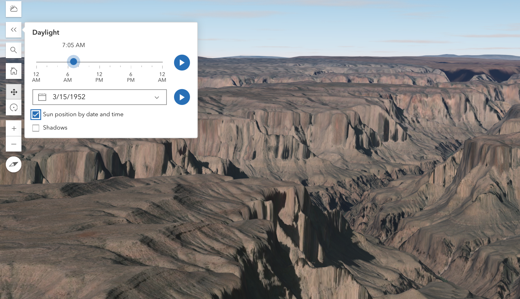
One of the most powerful features in Esri’s 3D viewers, like Scene and MapMaker is the Daylight tool – at least in my opinion. The Daylight tool creates a light source (sun) on the map and results in accurate lighting levels for the selected date and time. You can use the play button to cycle through the lighting levels by time or date. For example, here’s the Grand Canyon at about 7 am on March 15, 1952.
You can move beyond ambient lighting and generate accurate shadows of topography and 3D objects, like buildings.
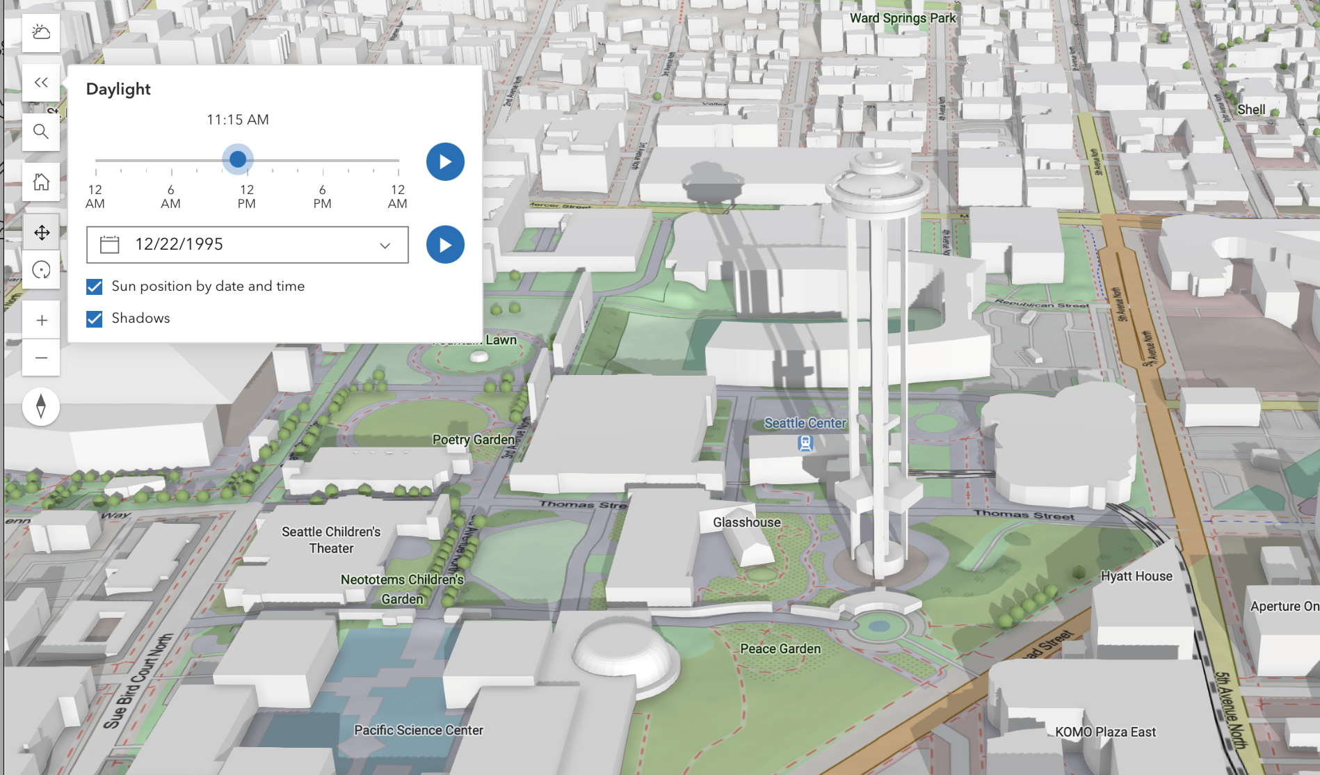
Here to, you can set shadows to generate for a specific time and date. You can also use the play buttons to loop the shadow render by date or time. See the shadow of the Space Needle in Seattle at about noon during the 1995 Winter Solstice.
For a little extra credit, if you want to capture movement of shadows across an entire and present it in a short enough span of time to keep student attention, you can do a few screen recordings on your computer and stitch together in a video editor – and you’ll get something like this.
YouTube video link
To learn more about the Daylight tool, see:
Teachers, looking for the Next Generation science standards connections?
Kindergarten standard: K-PS3-1
- Kids notice that sunlight warms things.
This is where they first start paying attention to the Sun in the sky.
Grade 1 standard: 1-ESS1-1
- Students observe that the Sun, Moon, and stars move across the sky.
This includes noticing that the Sun is in different places during the day.
Grade 3 standard: 3-ESS2-1
- Kids learn that Earth’s rotation causes day and night.
This helps explain why shadows move as the Sun appears to move.
Middle School standard: MS-ESS1-1
- Students use models to explain: Earth’s tilt, Earth going around the Sun, and seasons, * changing Sun angle, day length, etc.
High School (grades 9-12)
Standard: HS-ESS1-1
- Develop a model based on evidence to illustrate the life span of the Sun and the role of nuclear fusion.
- Establishes the Sun as the energy source for Earth
- Supports understanding solar radiation, which affects: Sun angle, Shadow length, Seasonal heating
Standard: HS-ESS1-4
- Use mathematical or computational representations to predict the motion of orbiting objects in the solar system.
- Earth’s orbit around the Sun
- Earth’s tilt (23.5°)
Standard: HS-ESS2-4
- Use a model to describe how variations in the flow of energy into and out of Earth’s systems result in changes in climate.
Standard: HS-ESS2-2
- Analyze geoscience data to make the claim that one change to Earth’s surface can create feedbacks that cause changes to other Earth systems.
- Indirect support: Ice/snow cover, Albedo (reflection), seasonal feedbacks
