Turn on suggestions
Auto-suggest helps you quickly narrow down your search results by suggesting possible matches as you type.
Cancel
- Home
- :
- All Communities
- :
- Industries
- :
- Education
- :
- Education Blog
- :
- In Education, the Little Things are Sometimes the ...
In Education, the Little Things are Sometimes the Big Things
Subscribe
551
0
04-06-2012 01:00 AM
- Subscribe to RSS Feed
- Mark as New
- Mark as Read
- Bookmark
- Subscribe
- Printer Friendly Page
- Report Inappropriate Content
04-06-2012
01:00 AM
Two points in particular struck me as we talked with hundreds of science educators recently at our workshops and exhibit (video) at the National Science Teachers Association’s annual convention. First, ArcGIS Online offers a rich set of data, tools, and capabilities for educators and their students to begin using. And I think an important advantage of ArcGIS Online is that they could begin using it right away. Everyone we talked with could see a connection with what they are teaching, whether in earth science, biology, environmental science, chemistry, mathematics, or other subjects, and analyzing data spatially with ArcGIS Online.
That leads me to the second point: Sometimes, the thing that really resonates with an educator is something that might seem small. However, for that educator, it becomes a game-changer for a particular lesson or maybe for the entire course curriculum. It could be a tool, data set, or process that allows them to accomplish more efficiently with GIS than what they could do with paper maps or other physical objects. Using ArcGIS allows students to more quickly move to the analytical phase of a project, working with real data in real contexts.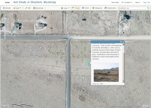
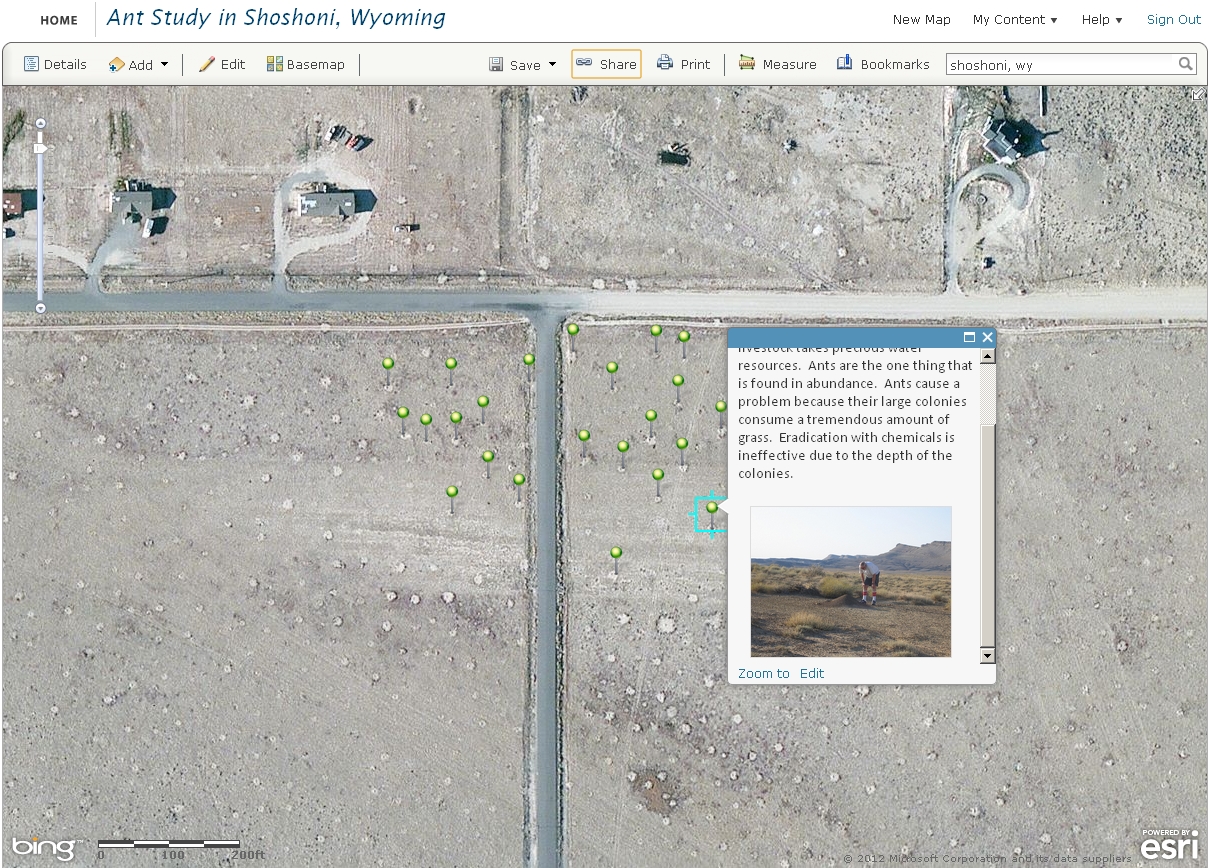
One example of the small-but-big is a discussion I had with an educator from Shoshoni, Wyoming. In this arid part of the mountain west, watering dry fields to grow grass for livestock takes precious water resources. Ants are the one thing that is found in abundance. Ants cause a problem because their large colonies consume a tremendous amount of grass. Eradication with chemicals is ineffective due to the depth of the colonies. Students in the town’s high school routinely get out into the field to measure these ant colonies with GPS and tape measures. When the instructor saw that not only could he and his students use ArcGIS Online to visualize and measure the ant colonies from above, but also geotag and add field observations, audio, photographs, and video to the project, he was overjoyed. As additional fieldwork is conducted, the ArcGIS Online map becomes a living database over space and time.
What is the little thing that you learned to do with GIS that caused major changes in what and how you teach?
-Joseph Kerski, Esri Education Manager
You must be a registered user to add a comment. If you've already registered, sign in. Otherwise, register and sign in.
About the Author
I believe that spatial thinking can transform education and society through the application of Geographic Information Systems for instruction, research, administration, and policy.
I hold 3 degrees in Geography, have served at NOAA, the US Census Bureau, and USGS as a cartographer and geographer, and teach a variety of F2F (Face to Face) (including T3G) and online courses. I have authored a variety of books and textbooks about the environment, STEM, GIS, and education. These include "Interpreting Our World", "Essentials of the Environment", "Tribal GIS", "The GIS Guide to Public Domain Data", "International Perspectives on Teaching and Learning with GIS In Secondary Education", "Spatial Mathematics" and others. I write for 2 blogs, 2 monthly podcasts, and a variety of journals, and have created over 6,500 videos on my Our Earth YouTube channel.
Yet, as time passes, the more I realize my own limitations and that this is a lifelong learning endeavor: Thus I actively seek mentors and collaborators.
Labels
-
Administration
59 -
Announcements
65 -
Career & Tech Ed
1 -
Curriculum-Learning Resources
227 -
Education Facilities
24 -
Events
60 -
GeoInquiries
1 -
Higher Education
558 -
Informal Education
272 -
Licensing Best Practices
65 -
National Geographic MapMaker
26 -
Pedagogy and Education Theory
206 -
Schools (K - 12)
282 -
Schools (K-12)
232 -
Spatial data
28 -
STEM
3 -
Students - Higher Education
240 -
Students - K-12 Schools
115 -
Success Stories
33 -
TeacherDesk
1 -
Tech Tips
93
- « Previous
- Next »