- Home
- :
- All Communities
- :
- Industries
- :
- Education
- :
- Education Blog
- :
- Fun with GIS 252: Integrating Science and CTE with...
Fun with GIS 252: Integrating Science and CTE with GIS
- Subscribe to RSS Feed
- Mark as New
- Mark as Read
- Bookmark
- Subscribe
- Printer Friendly Page
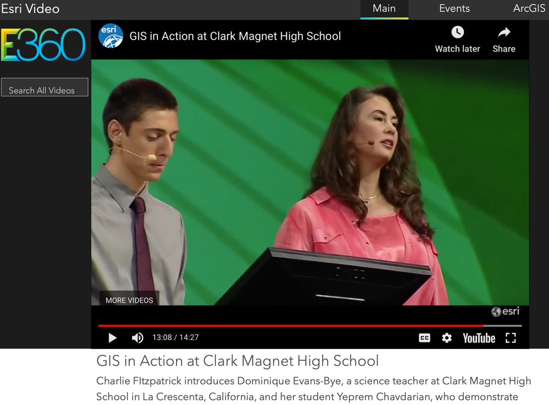
Just as athletes specialize, so do many teachers. On the other end of that continuum is Dominique Evans-Bye, a teacher at Clark Magnet High School in La Crescenta, CA. She is the instructional equivalent of a decathlete. Her social media stream hints at this, as a medley of GIS, marine science, space science, biology, chemistry, design, conservation, education, and exploration.
Not purely science or technology or engineering or math, or even just STEM, Evans-Bye integrates everything. Her current course load is 6 classes in block schedule, with AP environmental science, biology, environmental GIS, and GIS & Remote Sensing, the last two as part of a CTE (career technical education) pathway, across grades 10-12, with some intros coming in grade 9. In each, she challenges her students to look outward, conduct research, engage in projects, and participate in competitions -- activities which also call for attention to social studies and communication, plus a bank of critical "soft skills."
Students tackle leadership training from SkillsUSA interspersed with GIS activities (on Esri Academy and Learn ArcGIS) that build content background in their subject and beyond as well as essential tech skills. Opportunities to showcase these in presentations and competitions span the school year.
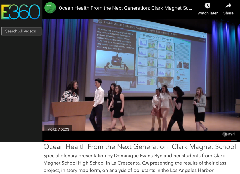
"Although SkillsUSA doesn’t have any GIS technical skill competitions (yet?) my students have had a lot of fun and success with the Career Pathway Showcase. This competition involves a group of three students presenting a community service project in their subject area. Students can advance in local, state and national competitions. Judging by my student’s scores in the Nationals for the past two years, GIS has had quite an impact on the SkillsUSA community. Our first year competing, we made it to Nationals and won Silver. This year I had beginning GIS students win gold medals at the National SkillsUSA Championships by using a GIS story map to show the impact of marine debris on albatross."
GIS is the perfect technology for integrators, and the best educators help students understand the world in a holistic fashion, building the skills and expertise to help make good decisions and solve problems. Far from generating one dimensional specialists, CTE teachers today whose students build GIS expertise tied to real world projects and competitive experiences help them prepare for tremendous opportunities ahead as problem solvers in a vast array of industries.
You must be a registered user to add a comment. If you've already registered, sign in. Otherwise, register and sign in.
-
Administration
89 -
Announcements
85 -
Career & Tech Ed
1 -
Curriculum-Learning Resources
280 -
Education Facilities
24 -
Events
77 -
GeoInquiries
1 -
Higher Education
616 -
Informal Education
284 -
Licensing Best Practices
102 -
National Geographic MapMaker
39 -
Pedagogy and Education Theory
239 -
Schools (K - 12)
282 -
Schools (K-12)
302 -
Spatial data
39 -
STEM
3 -
Students - Higher Education
257 -
Students - K-12 Schools
142 -
Success Stories
44 -
TeacherDesk
1 -
Tech Tips
125
- « Previous
- Next »