- Home
- :
- All Communities
- :
- Industries
- :
- Education
- :
- Education Blog
- :
- Esri Development Centers 2017 Students of the Year
Esri Development Centers 2017 Students of the Year
- Subscribe to RSS Feed
- Mark as New
- Mark as Read
- Bookmark
- Subscribe
- Printer Friendly Page
 About 30 leading university departments and programs that challenge their students to develop innovative apps and projects on the ArcGIS platform are designated as Esri Development Centers. The most important benefit of the program is a cash prize, certificate, and Esri Press book awarded to a Student of the Year named by each EDC. This year’s crop of EDC students are among the best since the program started in 2008. Here I’ll share brief profiles of 10 outstanding award winners, including the one student selected as Esri's 2017 International Student of the Year. I'm grateful to the students' advisers for making time to document and celebrate their students' outstanding work.
University College London was one of the first EDCs. UCL's Student of the Year for 2017 is PhD candidate Patrick Rickles. Working with Prof. Muki Haklay, Patrick plays a key role in driving citizen science initiatives using GIS as part of the Extreme Citizen Science (ExCiteS) research group. Based on on-going work in the field, Patrick has also worked with Esri to help author a Learn ArcGIS lesson that teaches citizen scientists how they may use Survey123 to record community resources and share them via ArcGIS Online, so that community members may know what may be available in the event of a disaster.
 Patrick Rickles https://www.linkedin.com/in/patrickrickles
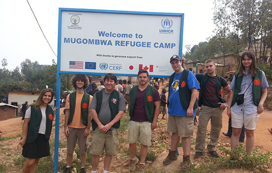
Angie Konovitz-Davern (at right). https://linkedin.com/in/angelina-konovitz-davern-246213a4
The EDC within Rochester Institute of Technology's Department of Information Sciences & Technologies named Angelina “Angie” Konovitz-Davern as its 2017 Student of the Year. Professor Brian Tomaszewski (third from left) called Angie "a vital part" of the team of RIT students who spent their college winter break collecting GPS data points and conducting economic surveys for the United Nations High Commissioner for Refugees (UNHCR) at refugee camp in Rwanda. Working with the UNHCR Rwanda office and the Rwandan Ministry of Disaster Management and Refugee Affairs (MIDIMAR), the RIT group was given access to the Mugombwa refugee camp. Mugombwa lacks the basic reference data needed to provide good maps for workers and residents, who need to navigate the infrastructure and businesses of the camp. Angie developed a survey device using Survey123 for ArcGIS.
The University of Southern California EDC selected GIST masters student Kelly Wright as its Student of the Year. Kelly developed the Chigoe Flea Eradication Project (CFEP) and Tungiasis eLibrary web mapping applications to raise awareness about, and actively combat tungiasis, a little-known disease of the tropics. The CFEP application serves aid workers and nonprofit organizations developing strategies to manage tungiasis by providing a workspace for the collection of georeferenced demographic and treatment data at the local level. At the global level, the Tungiasis eLibrary accepts data generated by users who “volunteer” it in the form of their own and others’ tungiasis-related research.
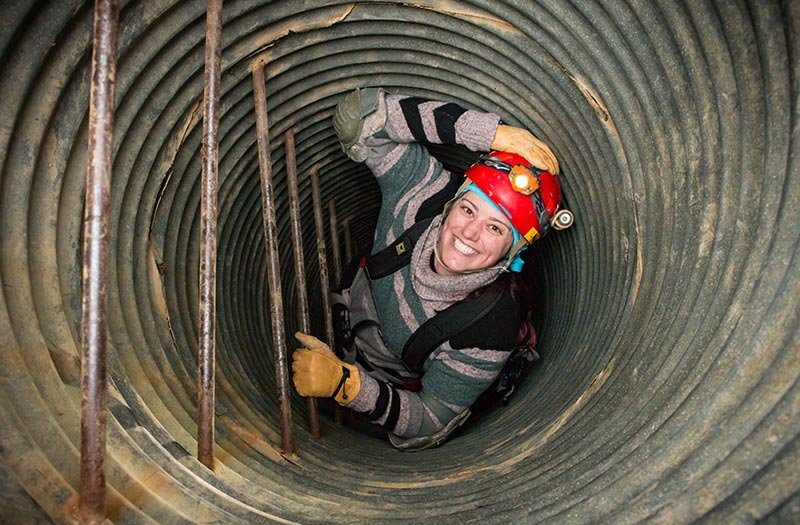
Kelly Wright https://online.usc.edu/gist-online-student-helps-track-parasitic-skin-disease/
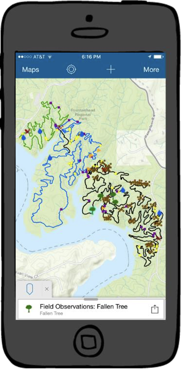
Ruthann Ligon's MGIS capstone project
At Penn State, Ruthann Ligon earned the EDC Student of the Year award for developing a new workflow and technologies using volnuteered geographic information to help maintain mountain bike trails at a local regional park. Using Collector for ArcGIS, ArcGIS Online and Web AppBuilder, Ruthann created a mobile app that enables trail users to submit observations electronically at precise locations and a web app that provides repair crews with the ability to efficiently analyze repair needs and keep records of work completed.
Peter Wiringa is the University of Minnesota's EDC Student of the Year for his contributions to the New Agricultural Bioeconomy Project. Collaborative Geodesign is a process that allows groups of diverse stakeholders to “try-on” various landscape designs assisted by a geodesign tool. The tool Peter created provides quantitative feedback on multiple biophysical and social indicators. The goal is to empower stakeholders to assess what landscape designs could meet the demands of a new bio-based economy without sacrificing local and regional scale concerns.
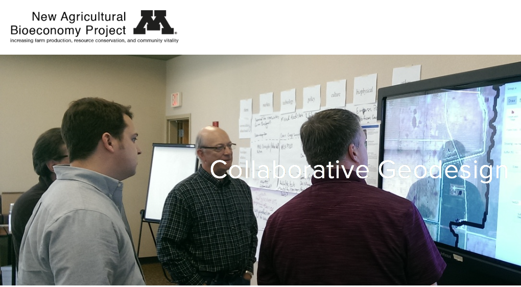
Peter Wiringa's award -winning project at the University of Minnesota
At the University of Salzburg, Azmat Arif earned Student of the Year honors for research that used anonymised mobile and landline phone data to delineate hospital catchment areas in Trinidad and Tobago. By looking beyond patient records the project revealed new patterns of spatial interaction between hospitals and patients.


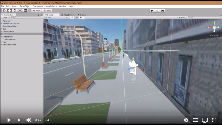
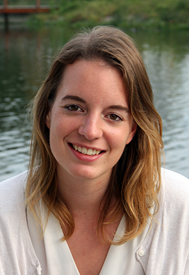
For the extraordinary creative use of Esri technology in research, Lisa was selected as the 2017 Esri Development Center International Student of the Year. As such she's been invited to attend the 2017 Esri Education GIS Conference and Esri User Conference in San Diego, July 8-14.
Time, space and available documentation do not permit profiles of every Student of the Year. Congratulations to honorees at other Esri Development Centers:
Esri Development Centers are a program of Esri's Education Outreach Team. A flier that describes the program is attached.
You must be a registered user to add a comment. If you've already registered, sign in. Otherwise, register and sign in.
-
Administration
78 -
Announcements
80 -
Career & Tech Ed
1 -
Curriculum-Learning Resources
259 -
Education Facilities
24 -
Events
72 -
GeoInquiries
1 -
Higher Education
596 -
Informal Education
281 -
Licensing Best Practices
91 -
National Geographic MapMaker
33 -
Pedagogy and Education Theory
226 -
Schools (K - 12)
282 -
Schools (K-12)
273 -
Spatial data
35 -
STEM
3 -
Students - Higher Education
246 -
Students - K-12 Schools
129 -
Success Stories
36 -
TeacherDesk
1 -
Tech Tips
120
- « Previous
- Next »