- Home
- :
- All Communities
- :
- Products
- :
- ArcGIS Workforce
- :
- ArcGIS Workforce Questions
- :
- Re: Creating poly line features from time stamp po...
- Subscribe to RSS Feed
- Mark Topic as New
- Mark Topic as Read
- Float this Topic for Current User
- Bookmark
- Subscribe
- Mute
- Printer Friendly Page
Creating poly line features from time stamp point data
- Mark as New
- Bookmark
- Subscribe
- Mute
- Subscribe to RSS Feed
- Permalink
Hi,
I am currently working with vessel tracking data from AIS and I have a years worth of vessel location data in a table format (now converted to point features in Pro).
We essentially need to create individual trips as poly lines from this data - a new trip in the data starts when the gap in the timestamp is greater than 20 min.
Is it possible to use a tool in ArcGIS which would go through all the point data timestamps and create line features from these? Additionally, a new line feature would be created each time the timestamp difference between point features is greater than 20 min.
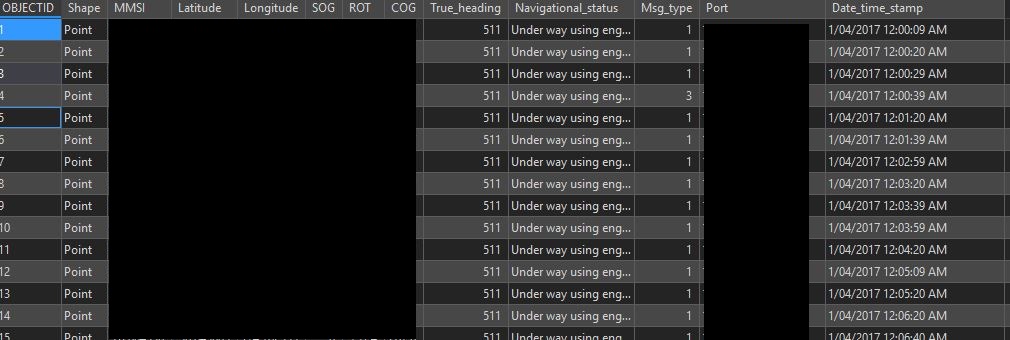
Attached is how the timestamp vessel location data looks now. Any help would be greatly appreciated!
Thank you.
Darko
- Mark as New
- Bookmark
- Subscribe
- Mute
- Subscribe to RSS Feed
- Permalink
Hi Darko, you may have better luck posting this in the ArcGIS Pro or ArcPy communities rather than Workforce for ArcGIS.
I know of three ways to do this:
This first approach requires having an additional GeoAnalytics Server installed and federated with your portal. ArcGIS GeoAnalytics Server introduces distributed computing to vector-based feature data and can be used to analyze big data or accelerate traditional ArcGIS Desktop analysis workflows through ArcGIS Pro and Portal for ArcGIS. If your organization has hundreds or thousands of users actively using Tracker for ArcGIS, GeoAnalytics Server can handle this large amount of data efficiently by distributing the computation over multiple server instances and cores. One of the tools provided by the GeoAnalytics Server is the Reconstruct Tracks Tool. This tool will process point data and build polylines from the points based on the timestamp of the point and a unique field such as the “username” of the point. It outputs a new feature service layer with the resulting polylines or polygons. This allows you to split by time and/or distance.
If your organization does not have a GeoAnalytics Server, you can still build lines from the points, with some limitations, by using the Points to Line Geoprocessing tool. Since this tool only executes within an ArcGIS Pro environment it is only efficient for small sets of data. It also does not provide options to split the tracks by time or distance. This means that all points belonging to a specific individual will be connected into one single line regardless of the distance in time and space between consecutive points. It also outputs to a Feature Class on the local machine rather than to a feature service layer. So, to view it in the Portal, the output has to be published as a new service.
Finally, you could write custom code in Python or other languages to process the data and build lines.
- Mark as New
- Bookmark
- Subscribe
- Mute
- Subscribe to RSS Feed
- Permalink
In case someone ends up here in the future, it seems there is now a Reconstruct Tracts desktop tool available in Pro 2.4+ (Advanced license)