- Home
- :
- All Communities
- :
- Products
- :
- ArcGIS Survey123
- :
- ArcGIS Survey123 Questions
- :
- Possible to Create a Repeat with GeoPoint in an Ex...
- Subscribe to RSS Feed
- Mark Topic as New
- Mark Topic as Read
- Float this Topic for Current User
- Bookmark
- Subscribe
- Mute
- Printer Friendly Page
Possible to Create a Repeat with GeoPoint in an Existing Feature Service
- Mark as New
- Bookmark
- Subscribe
- Mute
- Subscribe to RSS Feed
- Permalink
I have a survey that is created from an existing feature service. The survey form is originally a related stand alone table that is related to two different feature classes by relationship classes. The original form contains no geopoints, it only enters data into the related table.
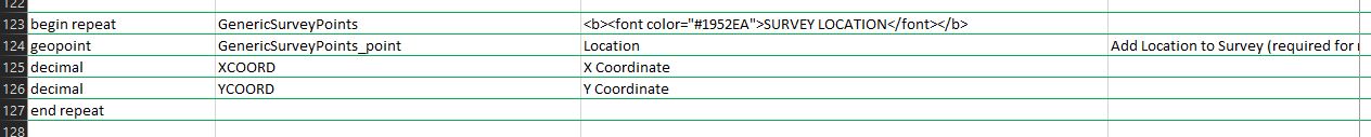
Now I would like to add a repeat to the form that contains a geopoint. The point feature class I would like to include in the repeat is NOT one of the two point features that I mentioned above, that the stand alone table is related to by relationship classes. This new point feature class is related only to the stand alone related table by a relationship class. I added the point feature layer to the feature service, I created the repeat in the form using the feature class name as the repeat name, however I don't know what to use as the field name for the geopoint. I've tried several things including the SHAPE field, the name of the feature class with "_point" appended.
When I try to republish the survey, it finds the feature class name, or "table" as Survey123 calls it, but it errors on the name of the field for the geopoint.
Again, this is an existing feature service. I see that when you create a hosted feature service when publishing a new survey that is not an existing feature service, the field name of the geopoint is dropped and is not included in the feature service.
Any help would be appreciated.
Thanks
- Mark as New
- Bookmark
- Subscribe
- Mute
- Subscribe to RSS Feed
- Permalink
@DarrylAlbert Did you find a solution to this - I am having the same problem. Thanks!
Leila
- Mark as New
- Bookmark
- Subscribe
- Mute
- Subscribe to RSS Feed
- Permalink
Hi @LJackson29. I did not find a solution to this problem. I dropped the issue, can't seem to find a way to put a map on a report with point data that is not in the Survey123 form.
- Mark as New
- Bookmark
- Subscribe
- Mute
- Subscribe to RSS Feed
- Permalink
@Darrell I think my issue on further digging is a little different from yours. A couple of ideas though for you. I think you want to name the geopoint the name of the point layer and then "_point" maybe. Also, did you add global IDs and GUID to the related table? Here are the steps we took to set up our data to create the feature service (granted this is not working for me but I think it is because my point layer is actually a multipoint layer, we did have success with these steps for another survey):
We did these steps in Pro (it did not work in Arc Catalog)
- Add main polygon layer in enterprise gdb without GlobalID field. We had to create a new feature class in enterprise GDB and import schema, and then added domains afterwards.
- Add related point layer in enterprise gdb by creating a new feature class similar to above. The layer should have a GUID field but not GlobalID field.
- Navigate to the properties and enable GlobalIDs in both layers. Also enable editor tracking in both layers at this time if you want.
- Navigate back to the properties and confirm the GlobalID index is unique in the Index tab (the index is automatically created for the Global ID).
- Load (append) the data into the respective layers.
- Confirm GlobalID indexes are still unique (they should be)
- Join Project layer to Phase layer based on common ID field and field calculate the GUID field in the Phase layer using the GlobalID field in the Project layer. Remove join.
- Create relationship
- Publish service
- Confirm Supports ApplyEdits With Global Ids is True in Rest Service in Portal.
- Add service to AGO
- Create survey in Survey123 Connect
I hope this helps! Good Luck!
Best,
Leila