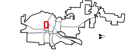
I have two maps, a main map and an overview map with an extent indicator in my layout. I have some layers clipped to an extent in the overview map. However, these layers show up when the map is exported to a PDF, image, PDF as image. Anyone else have this issue or found a workaround? I am running the latest Pro 2.4.1.