- Home
- :
- All Communities
- :
- Products
- :
- ArcGIS Online
- :
- ArcGIS Online Questions
- :
- Cannot export high resolution image from Web App.
- Subscribe to RSS Feed
- Mark Topic as New
- Mark Topic as Read
- Float this Topic for Current User
- Bookmark
- Subscribe
- Mute
- Printer Friendly Page
Cannot export high resolution image from Web App.
- Mark as New
- Bookmark
- Subscribe
- Mute
- Subscribe to RSS Feed
- Permalink
Hello -
I need to be able to export high resolution images from my web mapping application. The images are grainy, weird zoom levels, and inconsistent. Why is this so difficult? I called technical support and they are trying to help, but I am still stuck.
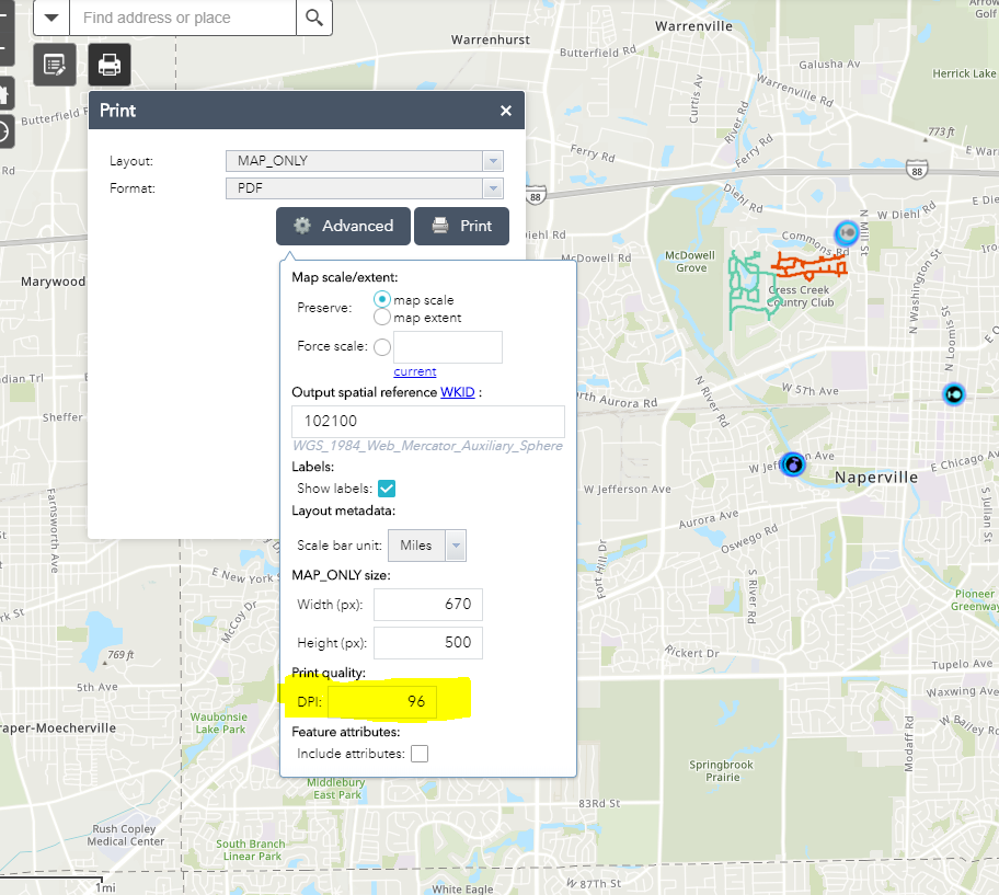
I added the print widget and have been messing with it for hours.
I need a 10" by 5.9" image at ~300 DPI.
THANK YOU!
- Mark as New
- Bookmark
- Subscribe
- Mute
- Subscribe to RSS Feed
- Permalink
Hi Laura, preset value for resolution in Print widget for web app is 96 DPI. you can click on advance and set it to your required resolution.
- Mark as New
- Bookmark
- Subscribe
- Mute
- Subscribe to RSS Feed
- Permalink
Hello -
I have done that. It does not work.
- Mark as New
- Bookmark
- Subscribe
- Mute
- Subscribe to RSS Feed
- Permalink
Do you mean it does not create PDF or it does not show the image on the PDF?
- Mark as New
- Bookmark
- Subscribe
- Mute
- Subscribe to RSS Feed
- Permalink
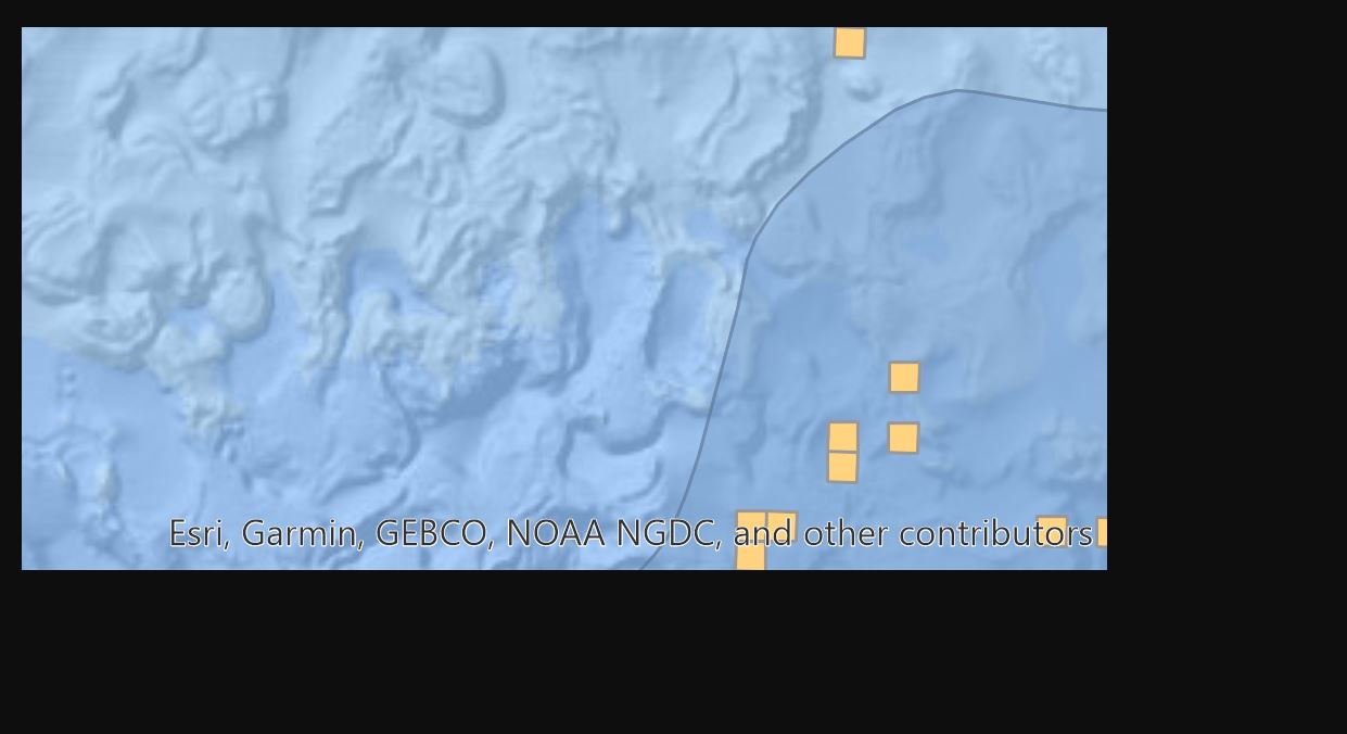
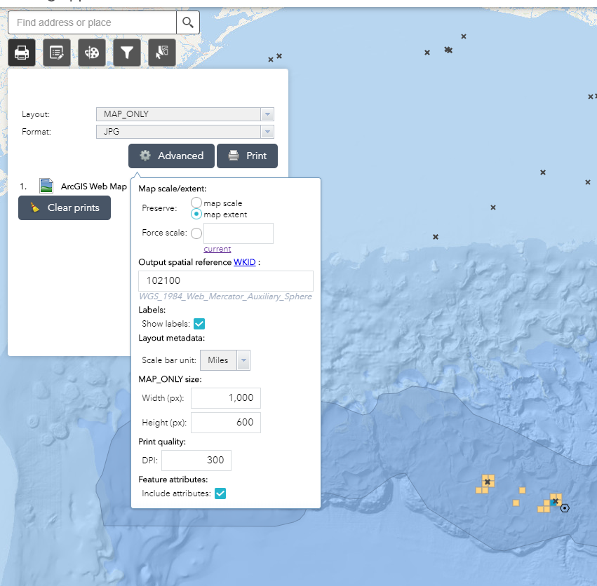
APP: https://llog.maps.arcgis.com/apps/webappviewer/index.html?id=560c8074de994026a729cecaf5e5103d
Settings:

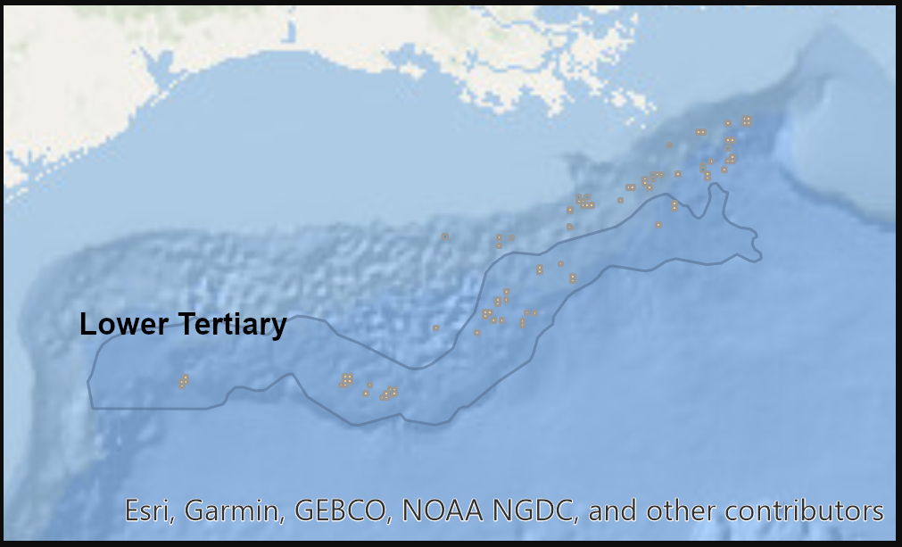
Output: (ignore black border from my snipping tool)
- Mark as New
- Bookmark
- Subscribe
- Mute
- Subscribe to RSS Feed
- Permalink
Thank you for sharing screen, the base map is not high quality image. It is 96 dpi
I print it out a map by changing DPI to 900 and creating PDF. it seems a bit better. My suggestion will be change the base map to something High Resolution and try again.
Thank you!
- Mark as New
- Bookmark
- Subscribe
- Mute
- Subscribe to RSS Feed
- Permalink
Thanks for the help.
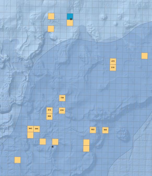
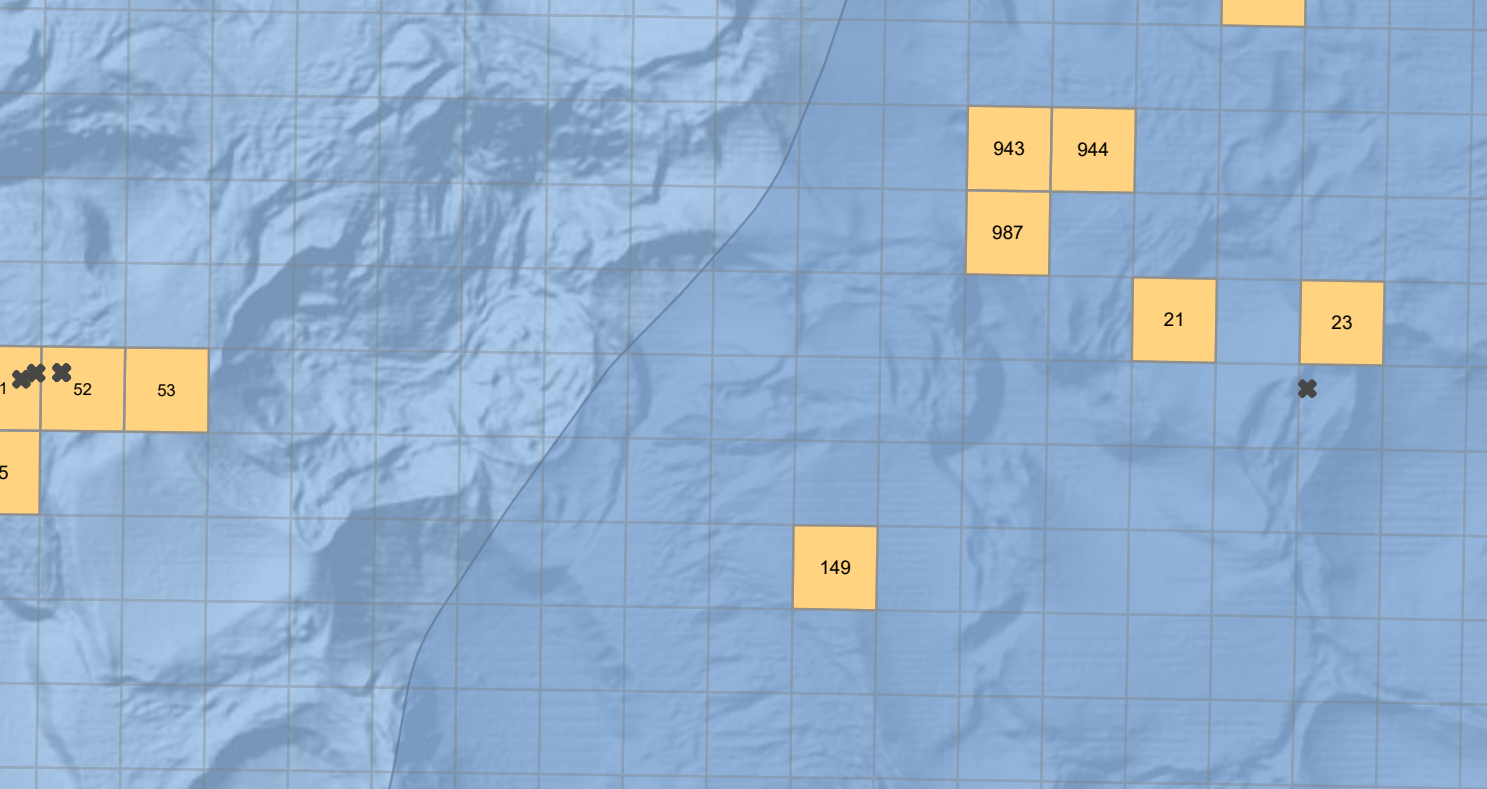
I changed the basemap to "World Ocean Base" by Esri.
I went back to the app and tried again...
Still not working:
- Mark as New
- Bookmark
- Subscribe
- Mute
- Subscribe to RSS Feed
- Permalink
The free base maps are not high resolution, for this reason many companies they will capture their own data and create a base map to meet the requirement needed for a project. Sorry cant help much in this case.
- Mark as New
- Bookmark
- Subscribe
- Mute
- Subscribe to RSS Feed
- Permalink
Regardless of the basemap, any idea why the exported image's size and scale is all over the place?