- Home
- :
- All Communities
- :
- Products
- :
- ArcGIS Dashboards
- :
- ArcGIS Dashboards Questions
- :
- Dashboard-Map-Layer Actions
- Subscribe to RSS Feed
- Mark Topic as New
- Mark Topic as Read
- Float this Topic for Current User
- Bookmark
- Subscribe
- Mute
- Printer Friendly Page
- Mark as New
- Bookmark
- Subscribe
- Mute
- Subscribe to RSS Feed
- Permalink
Not sure where I am going wrong or is my understanding wrong.
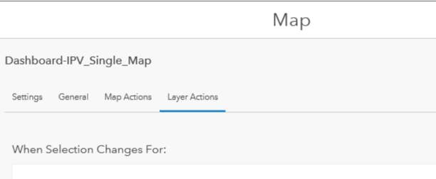
What does the Map -> Layer Actions do?
I have a map with a indicator attached to the layer. When I switch off the layer, I want the corresponding "Indicator" to go blank. Is that possible?
Solved! Go to Solution.
- Mark as New
- Bookmark
- Subscribe
- Mute
- Subscribe to RSS Feed
- Permalink
Derek
I think I'm trying to do something similar, but just cannot figure it out. I would like to have several layers present in a map (Layer A, Layer B, Layer C). I'd like the user to be able to toggle/select one of those 3 layers, and have a corresponding indicator update its conten. The layers would have the same schema, so same field names and data types would be the same, but each of the 3 would have different data. Maybe the indicator shows the sum of the "TotalSales" column, and it updates based on which of those 3 layers are turned on on the map (or otherwise selected somehow.)
I can figure out how to filter based on items in a single layer, and I can figure out how to filter based on a selection on the map, but not how to filter based on which layer is actually turned on. Any guidance would be greatly appreciated. Thanks.
- Mark as New
- Bookmark
- Subscribe
- Mute
- Subscribe to RSS Feed
- Permalink
Hi @AndyWells,
> I'd like the user to be able to toggle/select one of those 3 layers, and have a corresponding indicator update its content. ... how to filter based on which layer is actually turned on.
I don't believe this workflow is currently possible in ArcGIS Dashboards. To confirm: you would have an indicator element that is getting its data input from 3 layers in the web map, correct? And you want the data displayed in the indicator to change based on whether or not the layers are turned "on" to be displayed in the Map element, correct?
Hope this helps,
- Mark as New
- Bookmark
- Subscribe
- Mute
- Subscribe to RSS Feed
- Permalink
I would like an indicator to show data from one layer on the web map, but have the ability for it to change which layer it is getting data from, by using a selector ideally. I know that means each layer would have to have the same schema setup, at least enough that the indicator can look for the same field name/field type no matter which layer is selected.
For example, maybe I have 3 layers (Plan A, Plan B, and Plan C.) Each layer is a possible map (plan) of sales areas. I might want an indicator that shows the total anticipated sales from Sales Area 1, and I need it to update depending on which layer (Plan A, Plan B, or Plan C) that I have selected.
I worked around this for now by combining the 3 layers into one big layer, and adding a column with a unique name for the "layer" that I then use as a category selector. But that is an extra step, and doubles the amount of storage I use. It's not ideal. It also makes it hard for users to update it.
- Mark as New
- Bookmark
- Subscribe
- Mute
- Subscribe to RSS Feed
- Permalink
Hi,
Is there any limitation in activating layer actions on a map when the data source is a WFS?
I have a time series graph for a specific feature's property. I don't get any action when selecting a feature on the map, although I get an action if I put the features on a table, I select a row, and I obtain the correct graphic.
Thanks,
- « Previous
-
- 1
- 2
- Next »
- « Previous
-
- 1
- 2
- Next »