The lab has just completed an experimental viewer designed to sort, filter and extract individual Landsat scenes. The viewer is a web application developed using Esri's JavaScript API and a three.js-based external renderer.
Click here for the live application.
Click here for the source code.
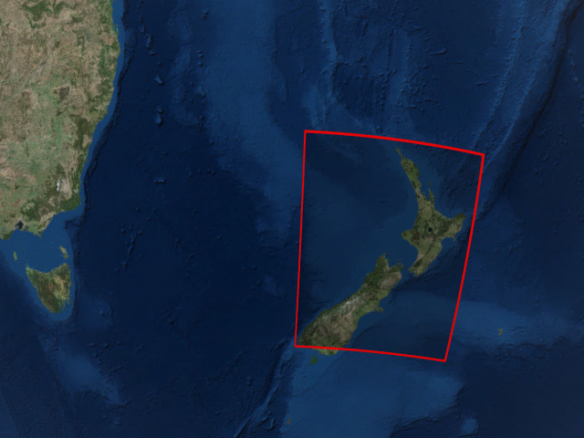
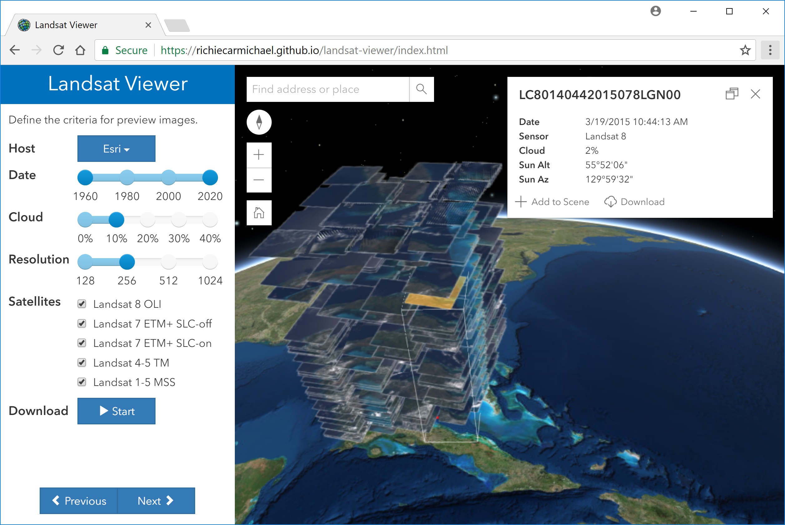
The application has a wizard-like workflow. First, the user is prompted to sketch a bounding box representation the area of interest. The next step defines the imagery source and minimum selection criteria for the image scenes. For example, in the screenshot below the user is interested in any scene taken over the past 45+ years but those scenes must have 10% or less cloud cover.
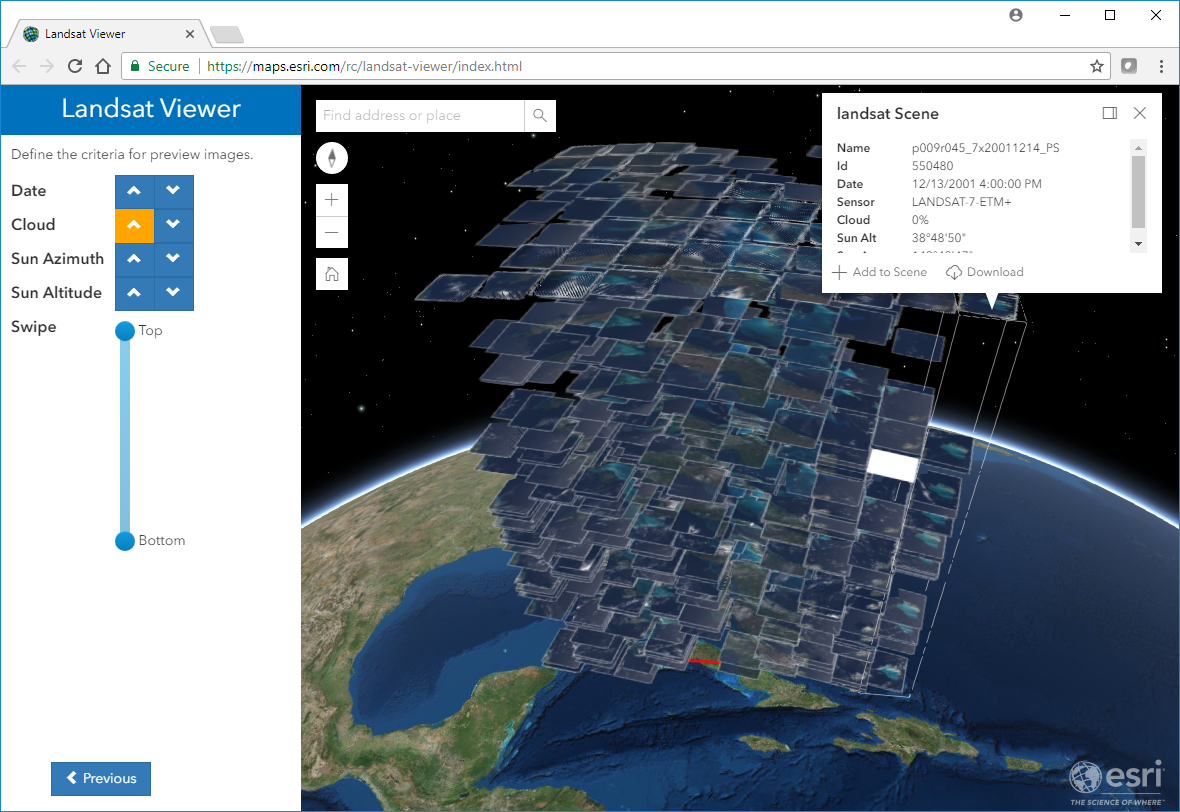
Finally, once preview scenes have been downloaded the user can advance to the final step of sorting, filtering and interrogating individual Landsat images. In the screenshot below the images have been sorted by cloud cover with cloudless images located at the top of the stack. Also, on the right hand side of the screenshot below one image has been identified. From the identify window one can naturally peruse the image's attribution but also add the image to the map as a normal image layer.
For more information about Landsat imagery hosted by the USGS and Esri and associated apps, please visit: