I have my services in state plane. (WKID 2270)
I have my basemap data in state plane and converted to WGS 1984
I am using the Print Plus widget but I don't think this changes anything.
We have read this article and have tired to implement what it says.
ArcGIS Online moving to Google / Bing tiling scheme: What does this mean for you? | ArcGIS Blog
When Printing
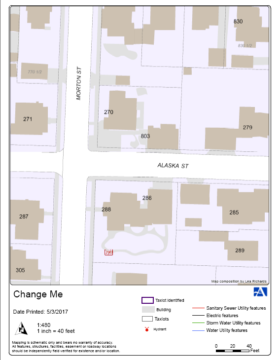
The dynamic basemap works perfectly. The Scale is printed properly and the layer matches up.
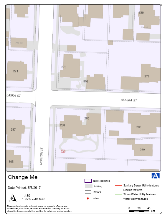
When I turn on the cache the map does not work as expected. The layers do not match up when I go to print.
The scale is correct though.
Dynamic Basemap.
Cached Basemap:
(taxlots are not aligned)
Any ideas how to get both scale and layers to work correctly for a cached basemap?
ArcGIS API for JavaScript
Web AppBuilder for ArcGIS
Coordinate Reference Systems