- Home
- :
- All Communities
- :
- Industries
- :
- Telecommunications
- :
- Telecommunications Questions
- :
- Re: Telecom Coverage Processing & Mapping (Esri)
- Subscribe to RSS Feed
- Mark Topic as New
- Mark Topic as Read
- Float this Topic for Current User
- Bookmark
- Subscribe
- Mute
- Printer Friendly Page
Telecom Coverage Processing & Mapping (Esri)
- Mark as New
- Bookmark
- Subscribe
- Mute
- Subscribe to RSS Feed
- Permalink
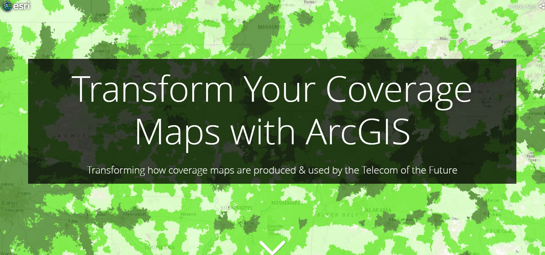
UPCOMING WEBINAR ALERT - Coverage Processing & Mapping
Join Esri for an hour dedicated to Coverage Processing & Mapping. Take advantage of this free webinar and learn how using GIS to process and map your coverage can increase revenue, reduce costs, maximize ROI, and improve customer experience. Register for the upcoming webinar: http://go.esri.com/CoverageMapping

- Mark as New
- Bookmark
- Subscribe
- Mute
- Subscribe to RSS Feed
- Permalink
How important are coverage maps to your customers? See what Randy Frantz has to say: Telecom of the Future – Coverage Maps | LinkedIn
- Mark as New
- Bookmark
- Subscribe
- Mute
- Subscribe to RSS Feed
- Permalink
Here is a list of RF Engineering raster formats that ArcGIS can read for coverage processing and mapping.
Supported raster dataset file formats—Help | ArcGIS Desktop
- Mark as New
- Bookmark
- Subscribe
- Mute
- Subscribe to RSS Feed
- Permalink
New blog discussing how to set up Esri's coverage processing and mapping solutions. Also shows how to change the styling of a vector tile cache. /blogs/spatialninja/2017/10/16/setting-up-esris-coverage-processing-mapping-solutions
- Mark as New
- Bookmark
- Subscribe
- Mute
- Subscribe to RSS Feed
- Permalink
Does Esri produce solutions / models for generating RF signal strength rasters based on antenna type, topography, etc. or just the coverage processing solutions that takes the rasters and simplifies them into polygons for easier visualization?

