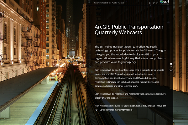
Calling all public transportation planners, analysts, data collectors, asset managers, information technology gurus, and geography ninjas. In support of Esri’s new focus on providing location intelligence for public transit, we will be hosting quarterly public transit-focused webcasts to introduce new technology, show solution configurations, and foster collaboration within our user community.
Our first webcast is scheduled for Thursday, September 20th, 1:00 PM EDT / 10:00 AM PDT, and will cover mobile data collection for ADA bus stop assessment.
The webcast will consist of a demonstration and an overview of the technology configuration used. The goal is to give you the knowledge to deploy ArcGIS in your organization in a meaningful way that solves real problems and provides value to your agency. We will keep the webcasts to an hour, so bring breakfast, a snack, or lunch (depending on your time zone) and join us.
For more information and instructions for connecting to the webcast, visit our Story Map.
Configuring ArcGIS for bus stop ADA compliance surveying and monitoring
Presenter: Jay Hagen, Esri Solution Engineer
Date/Time: September 20, 1:00 PM EDT / 10:00 AM PDT (1 hour)
Connect to the webcast (available when webcast beings): PC, Mac, Linux, or Android
Please note: Zoom will be used to deliver the webcast. If you have not used Zoom before, you may need to install a plug-in for your browser. Please test the connection before the webinar begins. You will have the option to use your computer for audio or you may dial in.