Cemetery App
- Subscribe to RSS Feed
- Mark as New
- Mark as Read
- Bookmark
- Subscribe
- Printer Friendly Page
I just recreated my Cemetery App. The last version did not use AMD style JavaScript. This made my old script really long, ugly, and bulky.
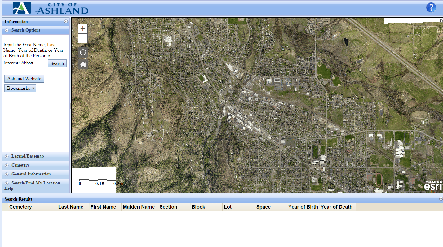
Old version

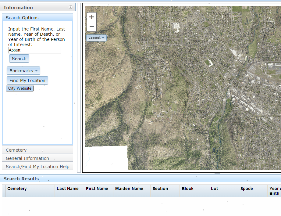
New version
I have been able to add more features to my current version because ESRI was converting to AMD when I started so I got my original code.
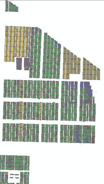
This has become my favorite app. I taught myself (mostly) JavaScript during the time it took me to write the app. My initial app took about 5 months to complete. Part of the process was updating our 19 thousand graves.
CREATION
I based my script off of the DataGrid JavaScript template. I then added in custom basemap switcher, location, home, help, and other features.
During the winter I added a script to make snow fall across the webapp.
MOBILE
This app is also designed (sorta) for mobile. The main page will automatically direct you to "mobile" version.
To only major differences are the size and ability to zoom in.
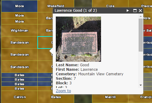
The ability to find your location while out at a cemetery is important. Trying to find a headstone can be difficult. We are also in the process of updating/taking photos of every headstone. Right now we have over 4500.
USE
The Cemetery application helps residents find family and friends located in any of the cities cemeteries.
Click on the Search Options Pane. In the text box,  input the First Name, Last Name, Year of Death, or Year of Birth of the Person of Interest. Only one name or date can be searched for at one time. Click Search. All records that contain the search parameters are displayed down below. Click on any part of the row of the desired person. The map will automatically zoom to the desired plot. Click on the highlighted plot (if two or more are in view pick the center most plot or keep clicking until desired name is found). Information about the plot will be displayed.
application helps residents find family and friends located in any of the cities cemeteries.
If you have questions or suggestions for the cemetery app please contact me at: fiter (at) ashland.or.us
UPDATE:
In 2019 I have updated this site once again. This time using the WAB developer edition.
--
Rickey, GIS Analyst
City of Ashland, Public Works
20 East Main Street, Ashland OR 97520
You must be a registered user to add a comment. If you've already registered, sign in. Otherwise, register and sign in.