- Home
- :
- All Communities
- :
- Events
- :
- GIS Day
- :
- GIS Day Questions
- :
- Celebrate GIS Day 2017: Share Your Story On GeoNet...
- Subscribe to RSS Feed
- Mark Topic as New
- Mark Topic as Read
- Float this Topic for Current User
- Bookmark
- Subscribe
- Mute
- Printer Friendly Page
Celebrate GIS Day 2017: Share Your Story On GeoNet!
- Mark as New
- Bookmark
- Subscribe
- Mute
- Subscribe to RSS Feed
- Permalink
- Report Inappropriate Content
We’re excited to celebrate GIS Day 2017 with you here on GeoNet! Join in the worldwide geo-festivities and let us know how you’re celebrating this year by sharing your GIS Day stories and experiences (pictures, videos, comments or links to other content) and answering one of the questions below.
- How have you helped others learn about and apply GIS in their work or lives this year?
- What personal GIS projects are you most proud of?
- What areas GIS would you like to explore more this year? What GIS skills would you like to improve in?
- What is one way you’d like to see GIS change the world?
Celebrate with your GeoNet profile picture!
Download one of these images and upload them to your GeoNet profile to show your love for GIS:
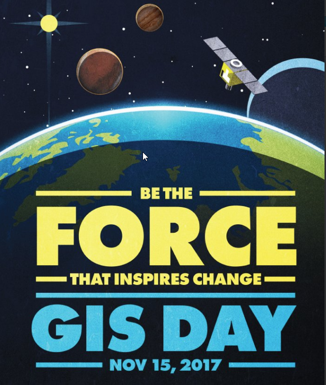
- GIS Day 2017 - "Be The Force That Inspires Change" profile image
- GIS Day 2017 - "I love GIS" profile image
- GIS Day 2017 - "Globe" profile image
Thanks for sharing and we look forward to seeing your contributions and be sure to follow GIS Day group and check out more content in the group!
- Mark as New
- Bookmark
- Subscribe
- Mute
- Subscribe to RSS Feed
- Permalink
- Report Inappropriate Content
Hi Joseph Kerski and GeoNet.
The University of Exeter Geography celebrated both Open Street Map Geography Awareness Week and GIS day by hosting a missing maps mapathon. The Mapathon collaborates with British Red Cross and Humanitarian Open Street Map Team to map an area where humanitarian organisations are trying to meet the needs of vulnerable people. This mapathon was mapping the Kurigram District in Bangladesh in order to effectively implement disaster risk reduction activities, to enhance resilience to future floods. During the 2 hour mapathon which included wine and pizza, The University of Exeter volunteers managed to make 2,272 map edits which included 2,035 buildings and 1,134 km of roads. The humanitarian aid projects continues at Exeter and we encourage you to host a mapathon for yourselves! see here http://www.missingmaps.org/host/ or get in touch on twitter @damienmansell

- Mark as New
- Bookmark
- Subscribe
- Mute
- Subscribe to RSS Feed
- Permalink
- Report Inappropriate Content
I love it, Damien! Kudos to you and Ex marks the spot is VERY clever and spatial!
--Joseph Kerski
- Mark as New
- Bookmark
- Subscribe
- Mute
- Subscribe to RSS Feed
- Permalink
- Report Inappropriate Content
Greetings!
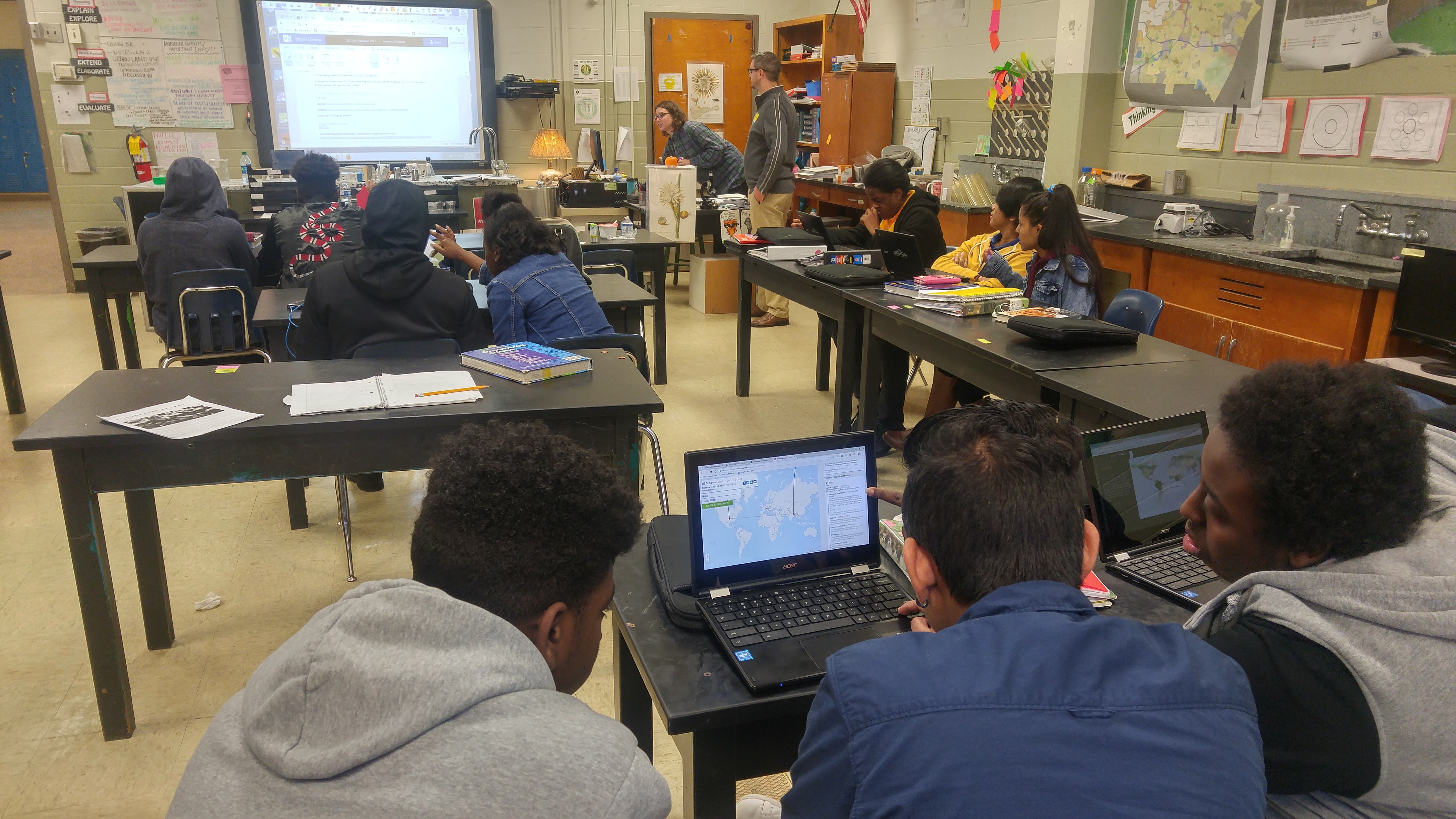
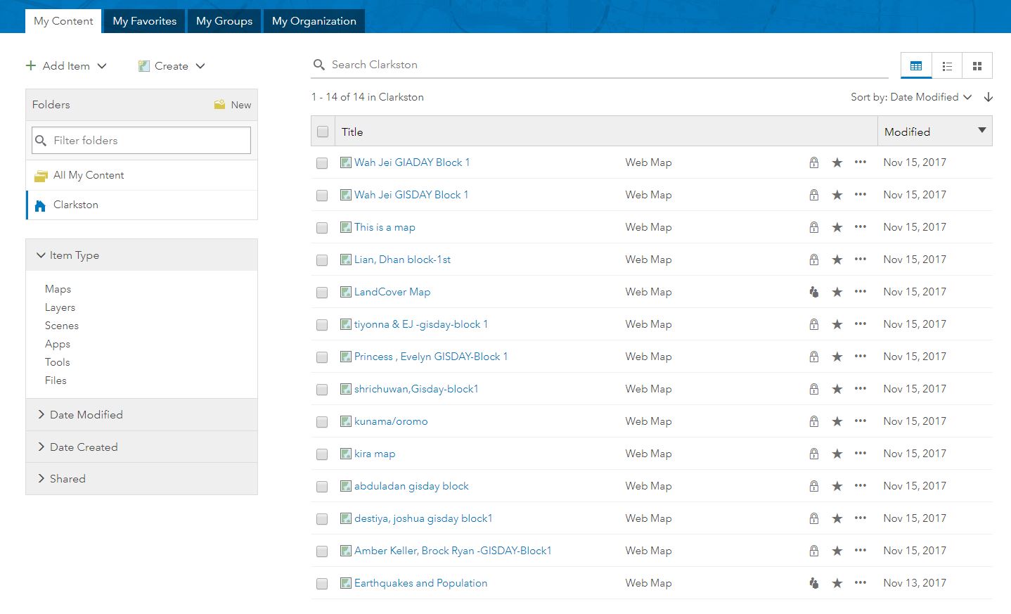
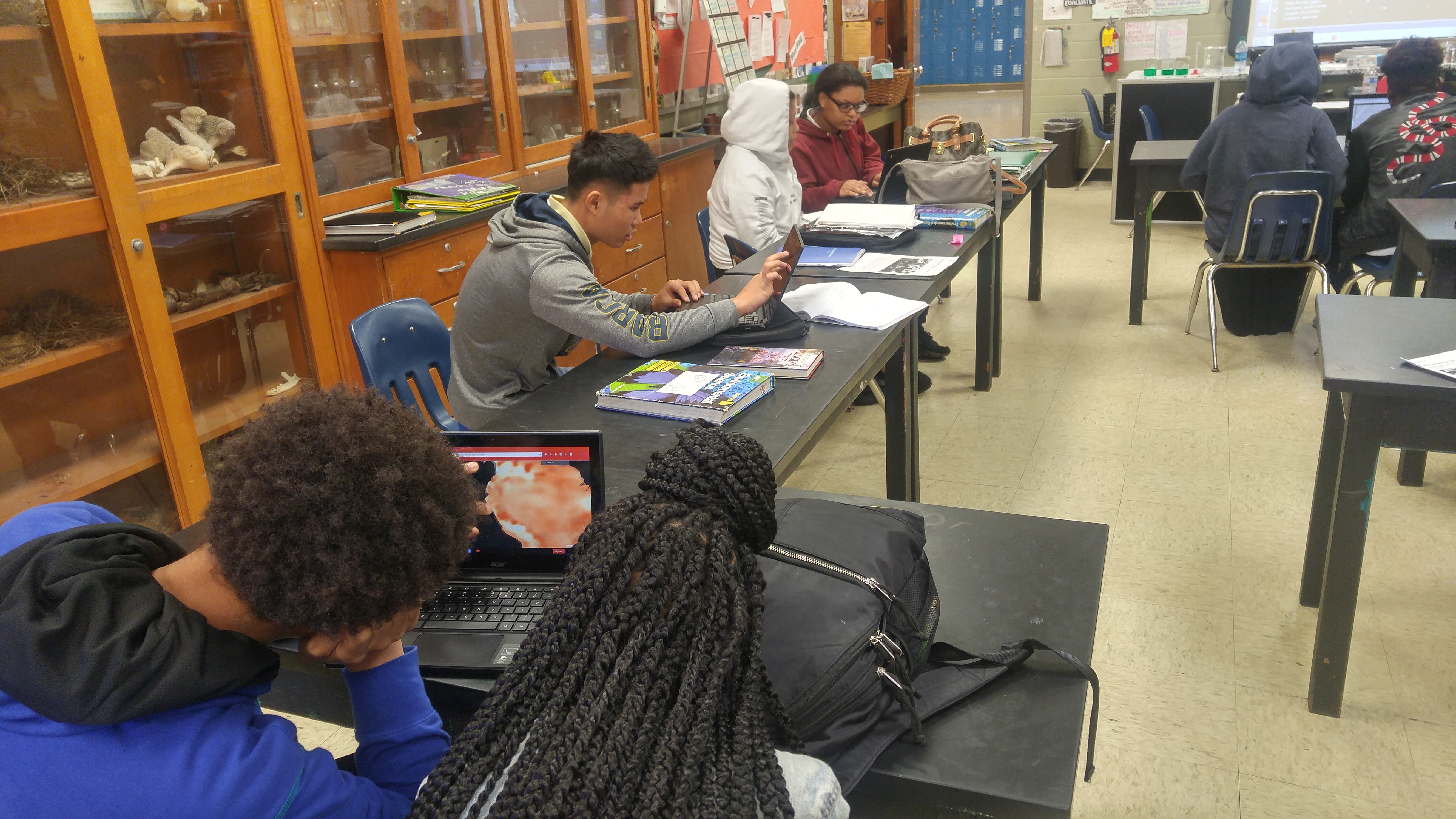
I spent the day at Clarkston High School in DeKalb County, Georgia, USA. I spoke with four classes about GIS and GIS as a career. No student was familiar with GIS and at least one from each class found it interesting and said they want to purse it in college. For one Environmental Science class we spent time exploring the Atlas for a Changing Planet story map (perfect and very informative map for enviro science class!) and we played around in ArcGIS Online briefly. The students just got these sweet Chromebooks this semester so we were able to do a quick web map lab with out having to go to a computer lab!
- Mark as New
- Bookmark
- Subscribe
- Mute
- Subscribe to RSS Feed
- Permalink
- Report Inappropriate Content
This is fantastically geo-spatial! Thanks for sharing and for being committed to GIS in education!
--Joseph Kerski
- Mark as New
- Bookmark
- Subscribe
- Mute
- Subscribe to RSS Feed
- Permalink
- Report Inappropriate Content
- Mark as New
- Bookmark
- Subscribe
- Mute
- Subscribe to RSS Feed
- Permalink
- Report Inappropriate Content
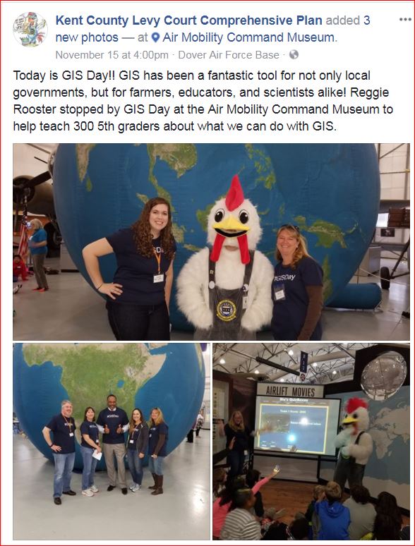
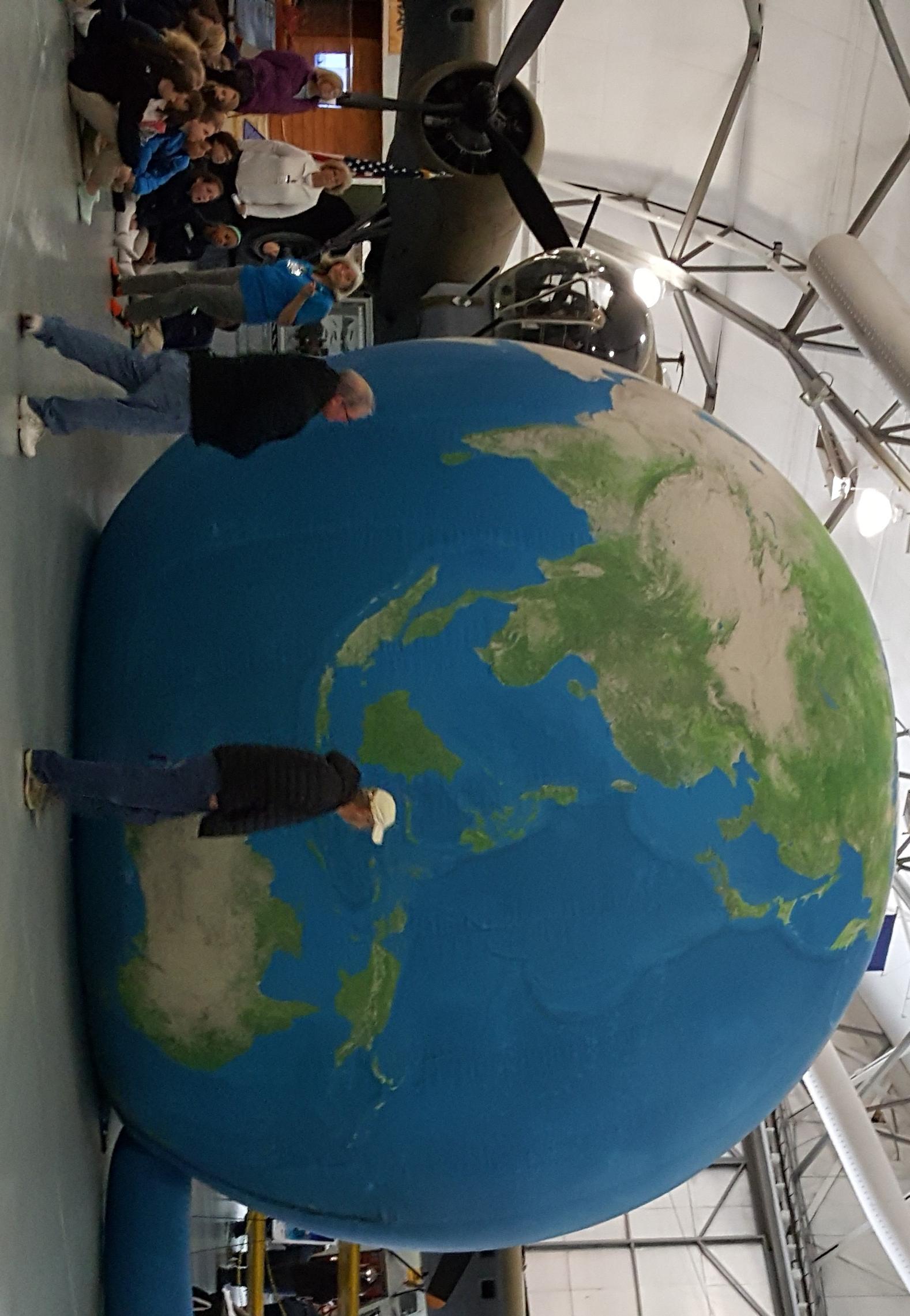
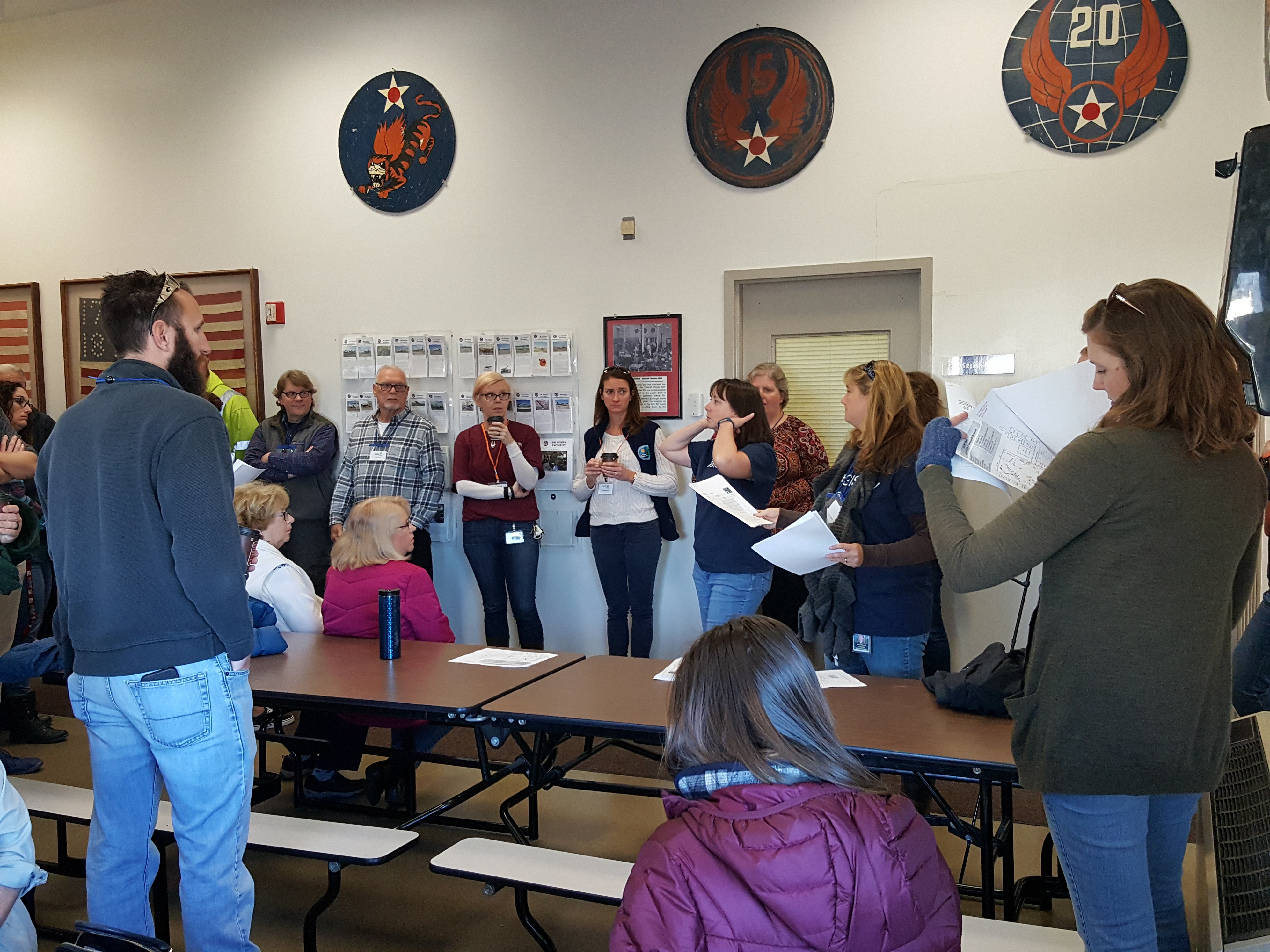
I love the huge globe too! You are all champions of spatial tech!
--Joseph Kerski
- Mark as New
- Bookmark
- Subscribe
- Mute
- Subscribe to RSS Feed
- Permalink
- Report Inappropriate Content
Hi Joseph Kerski's Blog,
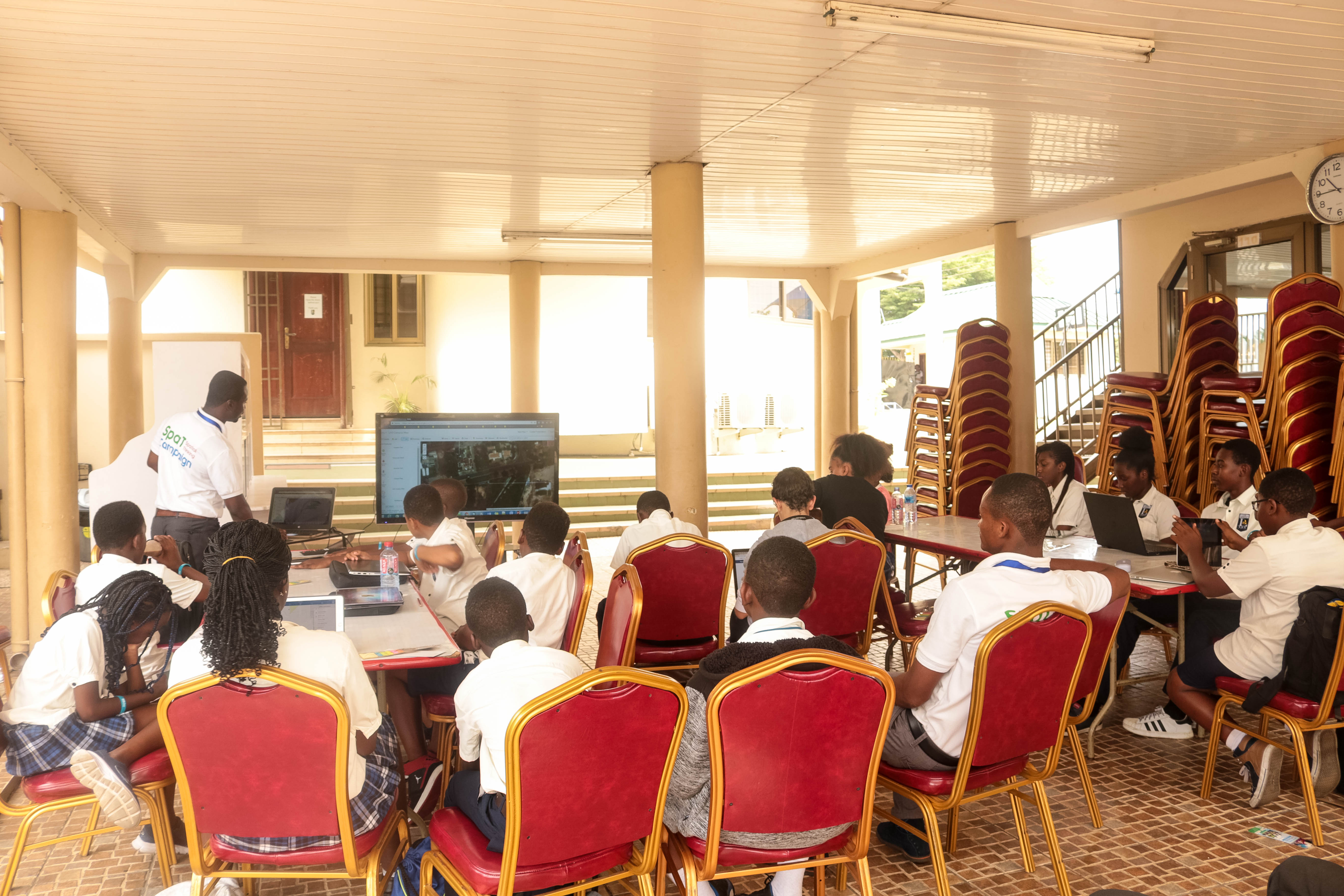
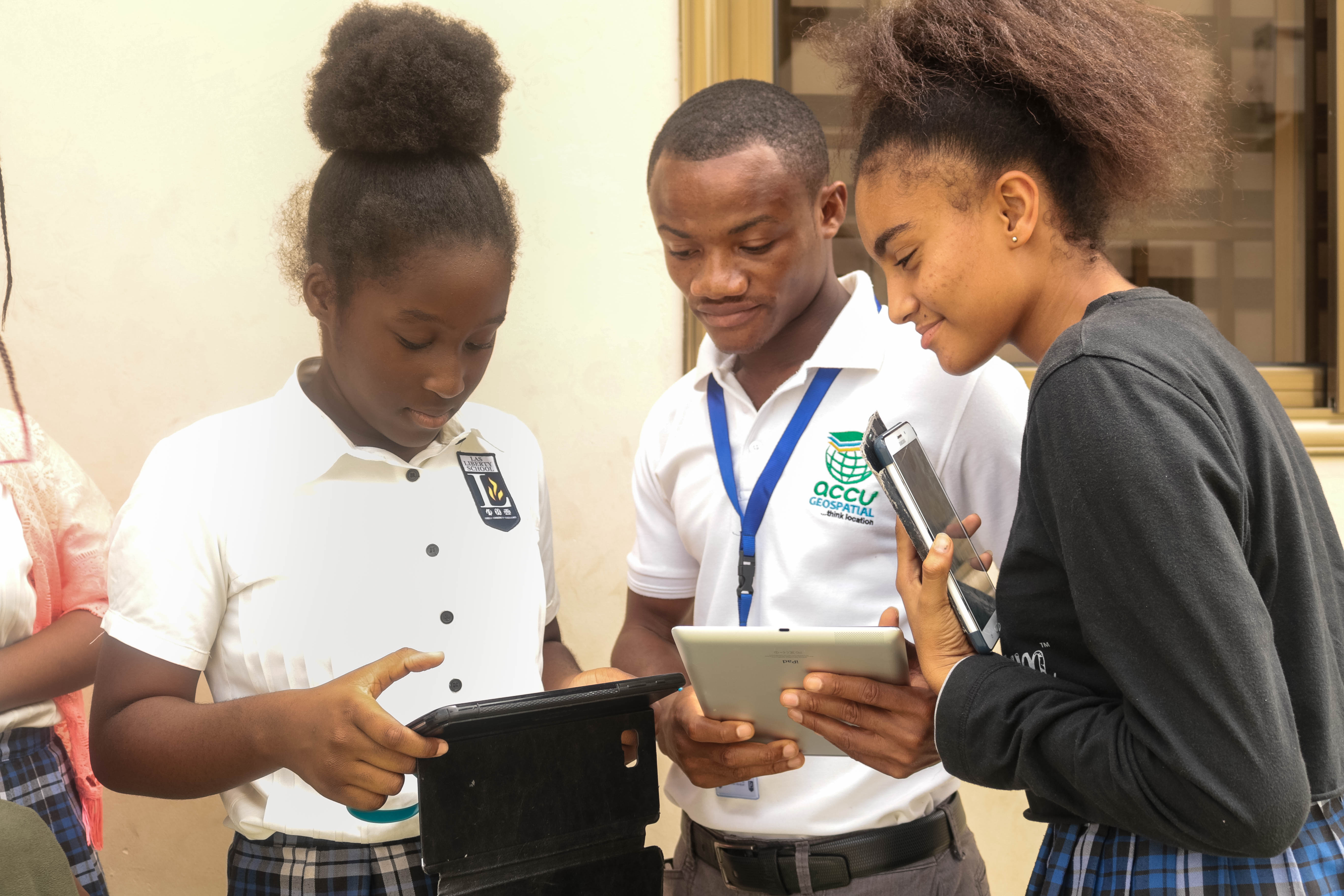
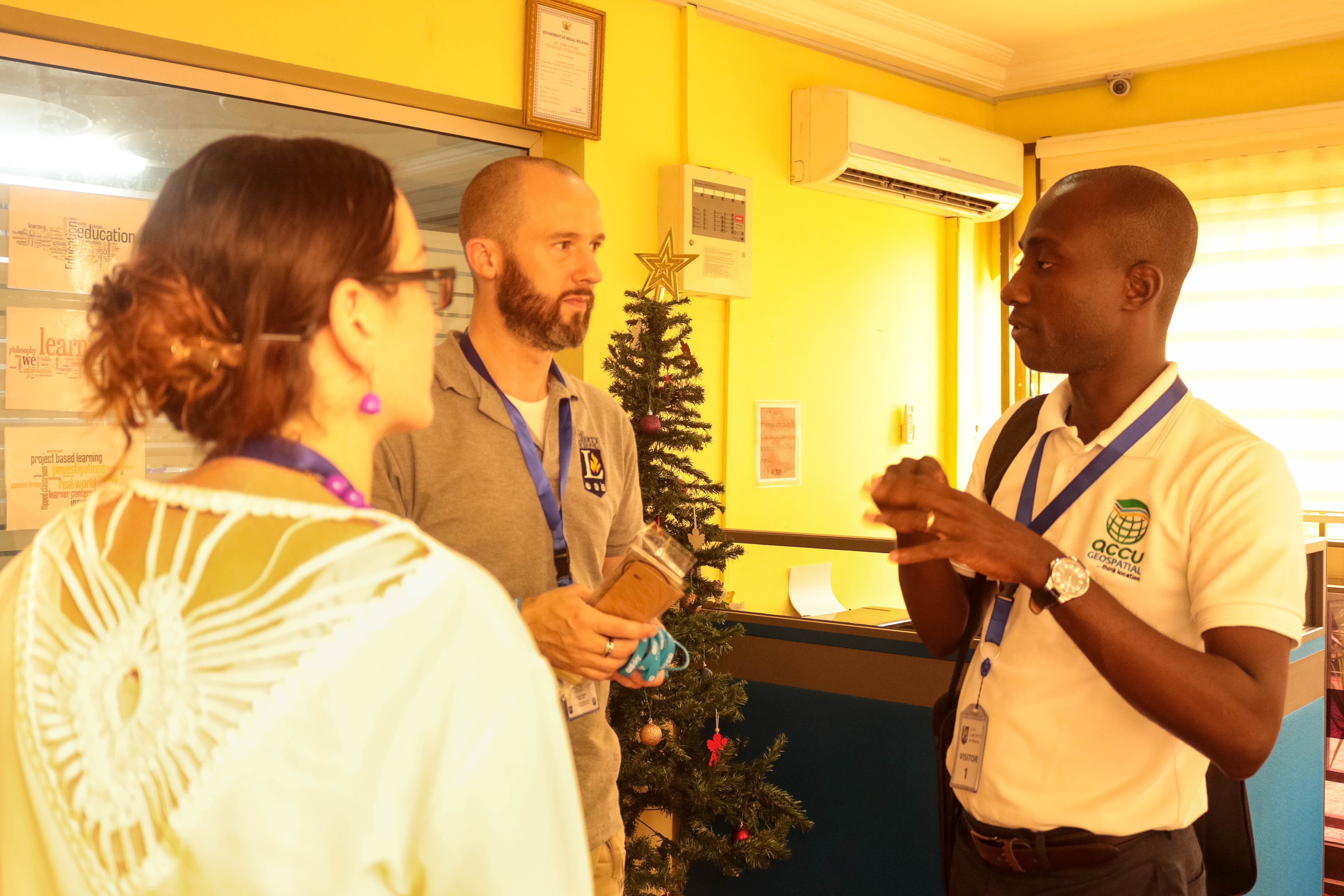
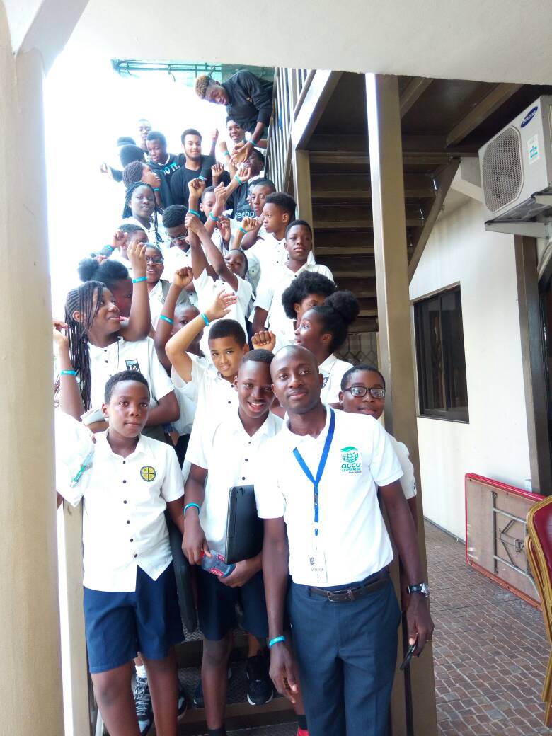
The staff of AccuGeospatial, an Esri business partner in ghana joined students of Liberty American School in Accra to celebrate gis day 2017 as part of the Partners Spatial Thinking ( SpaT ) Campaign. A total of 31 students and 6 facilitators were involved. Students engaged in activities such as telling stories with maps. The best story telling maps that won prices were from William - http://arcg.is/2ALO4cR and Chisom - http://arcg.is/2AK3Dlc
Students also created web maps and apps from mapping their campus using esri apps such as arcgis collector* on their smart devices.
gisday souvenirs such as wrist bands and book markers were distributed
Special thanks to the Director of Students - Jason and Principal - Mrs Larweh-Martey for the opportunity to engage with their students.

- Mark as New
- Bookmark
- Subscribe
- Mute
- Subscribe to RSS Feed
- Permalink
- Report Inappropriate Content
This is GREAT and so SPATIAL! Thanks for being GIS champions!
--Joseph Kerski
- Mark as New
- Bookmark
- Subscribe
- Mute
- Subscribe to RSS Feed
- Permalink
- Report Inappropriate Content
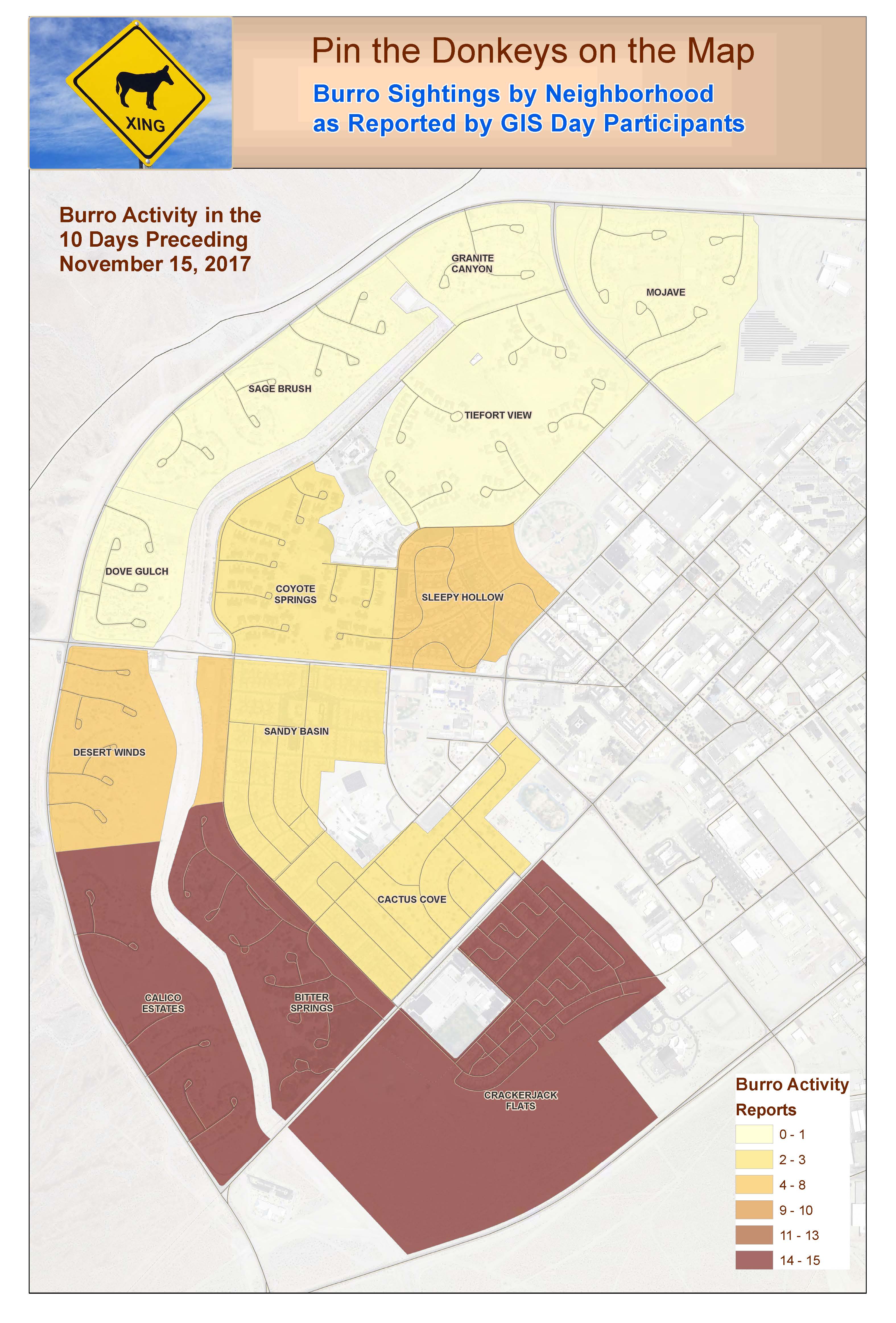
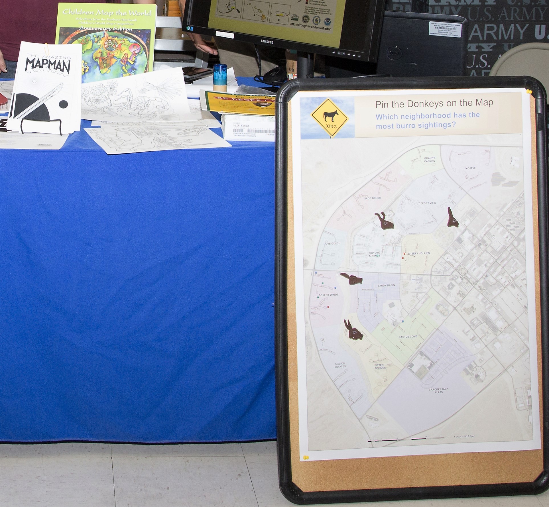
Here in the middle of the Mojave Desert, in the middle of a shopping center, we, the local Army Sustainable Range Program, gave out MapMan comic books, desert-animal coloring pages, posters, burro-shaped cookies, ESRI Mapbooks, and info for teachers and homeschoolers. The community, kids and adults, is fascinated with our newer burro population, especially a three-legged critter named Tripod. We made a Pin the Donkey on the Map map; results will be posted on our local (closed) Facebook page. We have a lot of leftover career and other stuff that we can give out during the year, or next year on GIS Day.
How have I helped others learn about GIS this year: (Dana's answer) We made a Soldier's Guide to Scale map/poster, which is already helping us train people how to think about mapping. Our goal is to get it into a lot of offices, especially mapping and planning groups.
What personal GIS projects are you most proud of: (Mark's answer) Mapping sea plastic with Algalita; concidentally, Dana also helped map shore plastic at the CA Water Board.
- Mark as New
- Bookmark
- Subscribe
- Mute
- Subscribe to RSS Feed
- Permalink
- Report Inappropriate Content
This is GREAT and so SPATIAL! Thanks for being GIS champions!
--Joseph Kerski