- Home
- :
- All Communities
- :
- Products
- :
- Geoprocessing
- :
- Geoprocessing Questions
- :
- pdf_map parameter in PDF to TIFF
- Subscribe to RSS Feed
- Mark Topic as New
- Mark Topic as Read
- Float this Topic for Current User
- Bookmark
- Subscribe
- Mute
- Printer Friendly Page
pdf_map parameter in PDF to TIFF
- Mark as New
- Bookmark
- Subscribe
- Mute
- Subscribe to RSS Feed
- Permalink
Hi,
I have a Geo-referenced PDF that was created using Microstation.
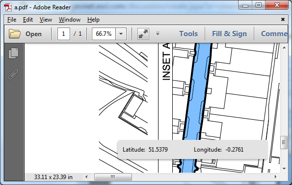
The PDF has two "maps" in it, the plan and an inset (viewport). Both are self-referenced to display two parts of the model view (model space) in the sheet view (paperspace).
Both "maps" have the same coordinate system and coordinates seem to be OK when using the Geospatial Location Tool in Adobe Reader.
The PDF to TIFF tool does have a parameter for selecting which "map" to convert, however there is only LARGEST in the drop down.
I've tried the reference's name, description and file name (replacing space with underscore) and the tool wouldn't pass validation (red X icon in the pdf_map parameter). It might be the case that Microstation created the spatial referenced container of graphics without unique name.
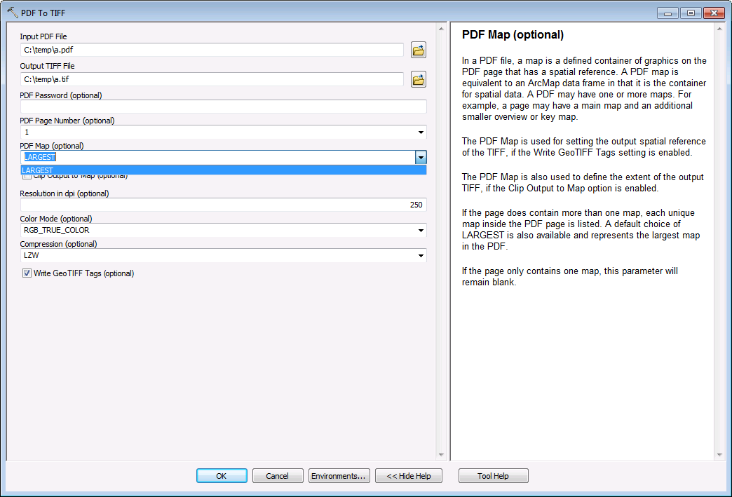
Using LARGEST works as expected, but I'm looking for the smaller "map".
I'm using 10.3.1.
Is there any other way to select "maps" in ArcGIS, for example by ordinal number?
Thanks,
Hen