Hey,
I know this is going to be classified as GIS101, but I cannot for the life of me find a tool that will do what I require.
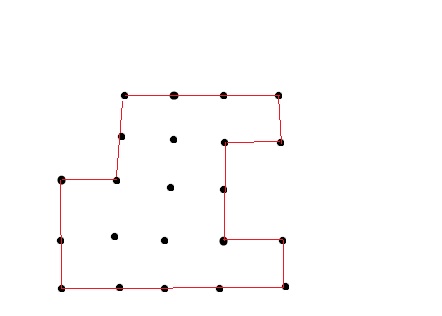
I have a point feature class, it has about 1 million points, it represents a flood area, and what I need to create is a polygon which represents the extent of the area affected by this flood. So basically I need it to 'shrink wrap' my points. See below my technical sample drawing, I am trying to create the extent (red) polygon, around the existing points (black dots).
What tool do I need???