- Home
- :
- All Communities
- :
- Products
- :
- Geoprocessing
- :
- Geoprocessing Questions
- :
- Adding a script to contour tool
- Subscribe to RSS Feed
- Mark Topic as New
- Mark Topic as Read
- Float this Topic for Current User
- Bookmark
- Subscribe
- Mute
- Printer Friendly Page
Adding a script to contour tool
- Mark as New
- Bookmark
- Subscribe
- Mute
- Subscribe to RSS Feed
- Permalink
I'm using the Spatial Analyst Contour tool for converting raster outputs to vector. These raster outputs are the result of Spline with Barriers interpolation tool and their values vary significantly. I'm wondering if there's a script I can add to the contour tool so it identifies the range of values in a raster file and then selects the contour interval according to the amount of classes I want. For example, if I have values from 0-140 and I want ten classes/intervals then 140/10 = 14 contour intervals. I'm currently doing this manually, but is not time efficient. Applying graduated colors as primary symbology does not change or generate new contours and I need these changes to be preserved to be used in a Story Map. Any suggestions are highly appreciated!
- Mark as New
- Bookmark
- Subscribe
- Mute
- Subscribe to RSS Feed
- Permalink
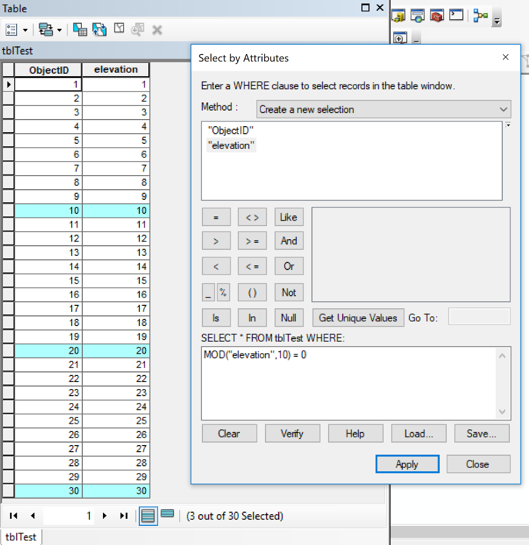
Not sure if this solves your situation but have you tried using the MOD function in a select by attribute tool? The following example selects every 10th row in a table.
The expression is: MOD(myNumberField,10) = 0