Turn on suggestions
Auto-suggest helps you quickly narrow down your search results by suggesting possible matches as you type.
Cancel
Scale by drawing maps with kids
Subscribe
1156
0
09-30-2020 06:05 PM
- Subscribe to RSS Feed
- Mark as New
- Mark as Read
- Bookmark
- Subscribe
- Printer Friendly Page
09-30-2020
06:05 PM
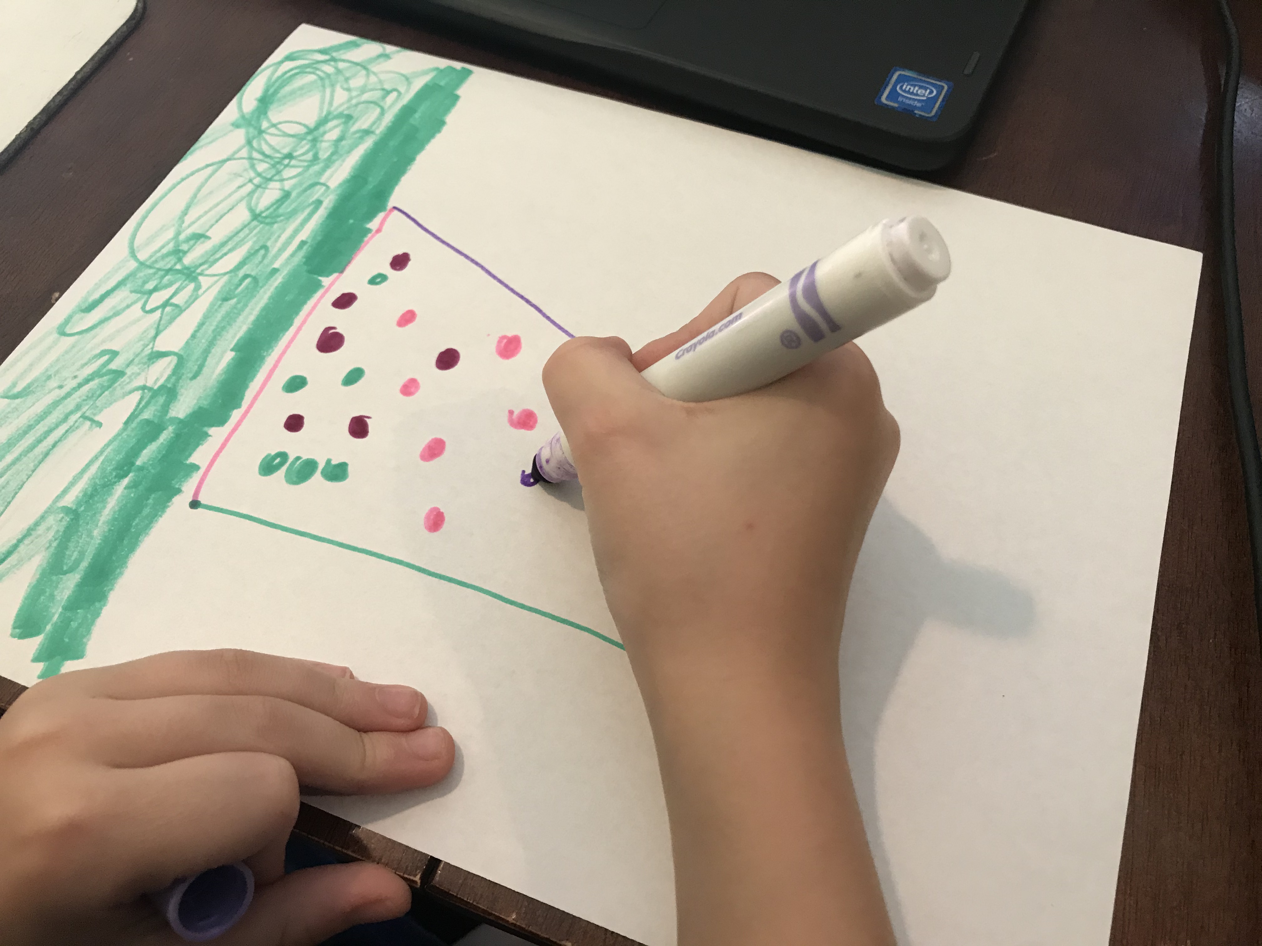
I wanted to explore scale and how it affects maps and share that with my kids. So we got out some white paper, drew some maps, and had some fun playing with how it worked. I've written about our exploration and encourage you to try it with your littles!
You must be a registered user to add a comment. If you've already registered, sign in. Otherwise, register and sign in.
About the Author
Our kids need GIS in their problem-solving toolboxes. I'm working to get digital maps into each K-12 classroom and the hands of each child. A long-time Esri employee, I've previously worked on Esri's mobile apps, focused on documentation and best practices. Out of the office I'm a runner often found on the trails or chasing my children.
Labels
-
Administration
90 -
Announcements
86 -
Career & Tech Ed
1 -
Curriculum-Learning Resources
285 -
Education Facilities
24 -
Events
77 -
GeoInquiries
1 -
Higher Education
618 -
Informal Education
285 -
Licensing Best Practices
102 -
National Geographic MapMaker
41 -
Pedagogy and Education Theory
241 -
Schools (K - 12)
282 -
Schools (K-12)
306 -
Spatial data
39 -
STEM
3 -
Students - Higher Education
259 -
Students - K-12 Schools
145 -
Success Stories
44 -
TeacherDesk
1 -
Tech Tips
128
- « Previous
- Next »