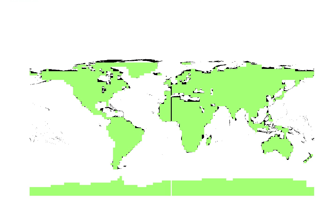
I am quite new to gis so I apologise in advance for the inapropriate use of terms. I have two sources for my netCDF data. The spatial reference for both is GCS_WGS_1984. One of the rasters split along the prime meridian as it appears in the picture below.
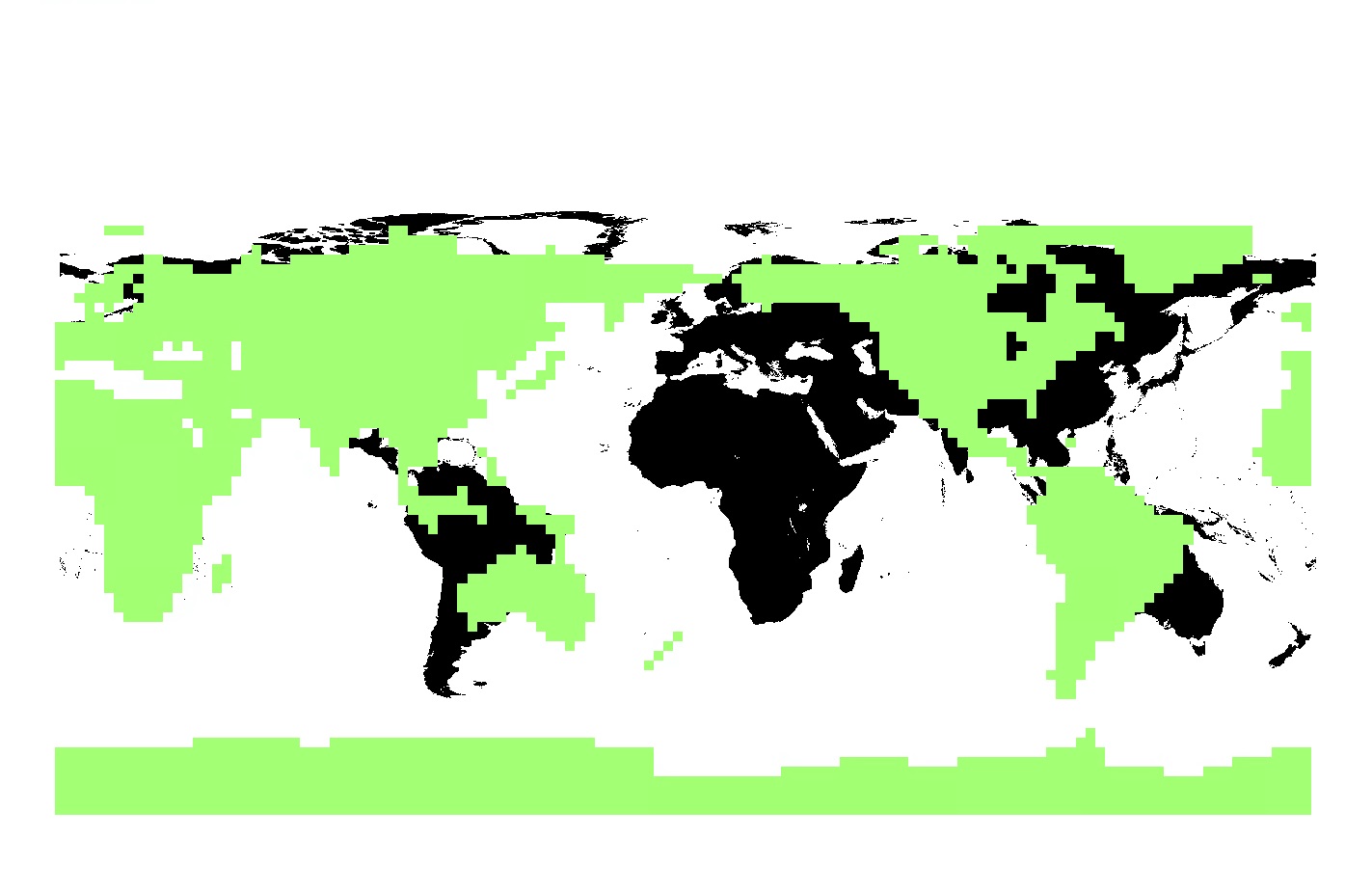
I suspect this is because the longitudinal range is 0-360 so I asked the person who generates the data to change it to -180 to +180. The result shown in the image below is not desirable as I would like to have a focus on Europe.
I was wondering if there are any settings/environments I can adjust at import or afterwards that would get rid of that middle line. Many thanks!