- Home
- :
- All Communities
- :
- Products
- :
- Data Management
- :
- Data Management Questions
- :
- Re: Editing sql Geometry without SDE in ArcMap
- Subscribe to RSS Feed
- Mark Topic as New
- Mark Topic as Read
- Float this Topic for Current User
- Bookmark
- Subscribe
- Mute
- Printer Friendly Page
Editing sql Geometry without SDE in ArcMap
- Mark as New
- Bookmark
- Subscribe
- Mute
- Subscribe to RSS Feed
- Permalink
Hi,
I just recently got ArcMap software version 10.4.1 from my company and am using it to peruse my enterprise SQL Server Instance. Many of the tables include geographic entities stored using sql server Geometry spatial data type. I don't have SDE but have had no problems creating query layers or loading the tables directly from the add data button. I'd like to edit the data but it seems to not allow me to do so. Is there some proper workflow that makes sql table data with geometry editable in ArcMap? I've got a lot of experience with ESRI tools but always accessed it through SDE. Unfortunately the software will be of little value if I can't move vertices and points around in an edit session and will have to rely on MapInfo to do this.
Any info on how to edit the geometry info in simple sql server 2012 tables in ArcMap would be greatly appreciated.
Thanks
Jamie
- Mark as New
- Bookmark
- Subscribe
- Mute
- Subscribe to RSS Feed
- Permalink
ArcGIS functionality available for database tables that are not registered with the geodatabase
The Evolution of Query Layers gives an overview of query layers, including how editing them has changed. I don't believe there have been any significant changes since 10.2.x, so the information is still relevant.
- Mark as New
- Bookmark
- Subscribe
- Mute
- Subscribe to RSS Feed
- Permalink
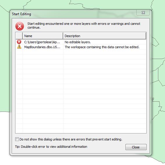
You cannot edit simple database tables using ArcMap.
It can be published and edited using a Feature Service.
- Mark as New
- Bookmark
- Subscribe
- Mute
- Subscribe to RSS Feed
- Permalink
If you are the only person who will be editing the data and the size of the Database will not exceed 10GB, you can also look into using ArcSDE_Personal.
- Mark as New
- Bookmark
- Subscribe
- Mute
- Subscribe to RSS Feed
- Permalink
Wow So ArcGIS requires either ArcSDE or ArcGIS Server in order for me to edit geometry fields stored in sql server? Unfortunately I am not in charge of purchasing and doubt I could convince those who are to fork over the $10K for SDE or AGS. It seems I can't even export the tables to a shapefile. I was hoping to drop MapInfo from our list of software but it seems without comparable functionality on the ESRI side I will have to use it for editing all of our datalayers.
- Mark as New
- Bookmark
- Subscribe
- Mute
- Subscribe to RSS Feed
- Permalink
ArcSDE for Personal comes free with ArcGIS Desktop...however it only works with SQL Server Express edition....
- Mark as New
- Bookmark
- Subscribe
- Mute
- Subscribe to RSS Feed
- Permalink
SO I should set up a SQL express database instance for editing data. That may work and save some headaches and money. Thanks for the info. Can I publish data from SQLExpress to ArcGIS online?
- Mark as New
- Bookmark
- Subscribe
- Mute
- Subscribe to RSS Feed
- Permalink
Yes, you can publish data from geodatabases hosted on SQL Server Express instance.