- Home
- :
- All Communities
- :
- Products
- :
- ArcGIS Survey123
- :
- ArcGIS Survey123 Questions
- :
- How do you let the public leave a comment and pin ...
- Subscribe to RSS Feed
- Mark Topic as New
- Mark Topic as Read
- Float this Topic for Current User
- Bookmark
- Subscribe
- Mute
- Printer Friendly Page
How do you let the public leave a comment and pin location on a map?
- Mark as New
- Bookmark
- Subscribe
- Mute
- Subscribe to RSS Feed
- Permalink
I am trying to create a map for a public involvement meeting where they can drop a pin on a location and add a comment that is then saved. I am having a hard time finding where/how I do this. Any guidance would be greatly appreciated!
- Mark as New
- Bookmark
- Subscribe
- Mute
- Subscribe to RSS Feed
- Permalink
Hi Morgan,
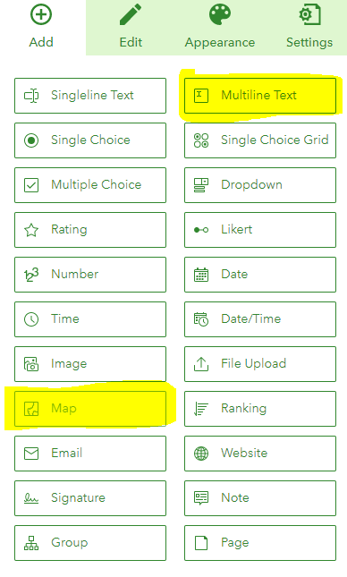
Your best bet is probably to start with the Survey123 web designer. Here you can create a simple survey that contains a Map (point) question and a Multiline Text question:

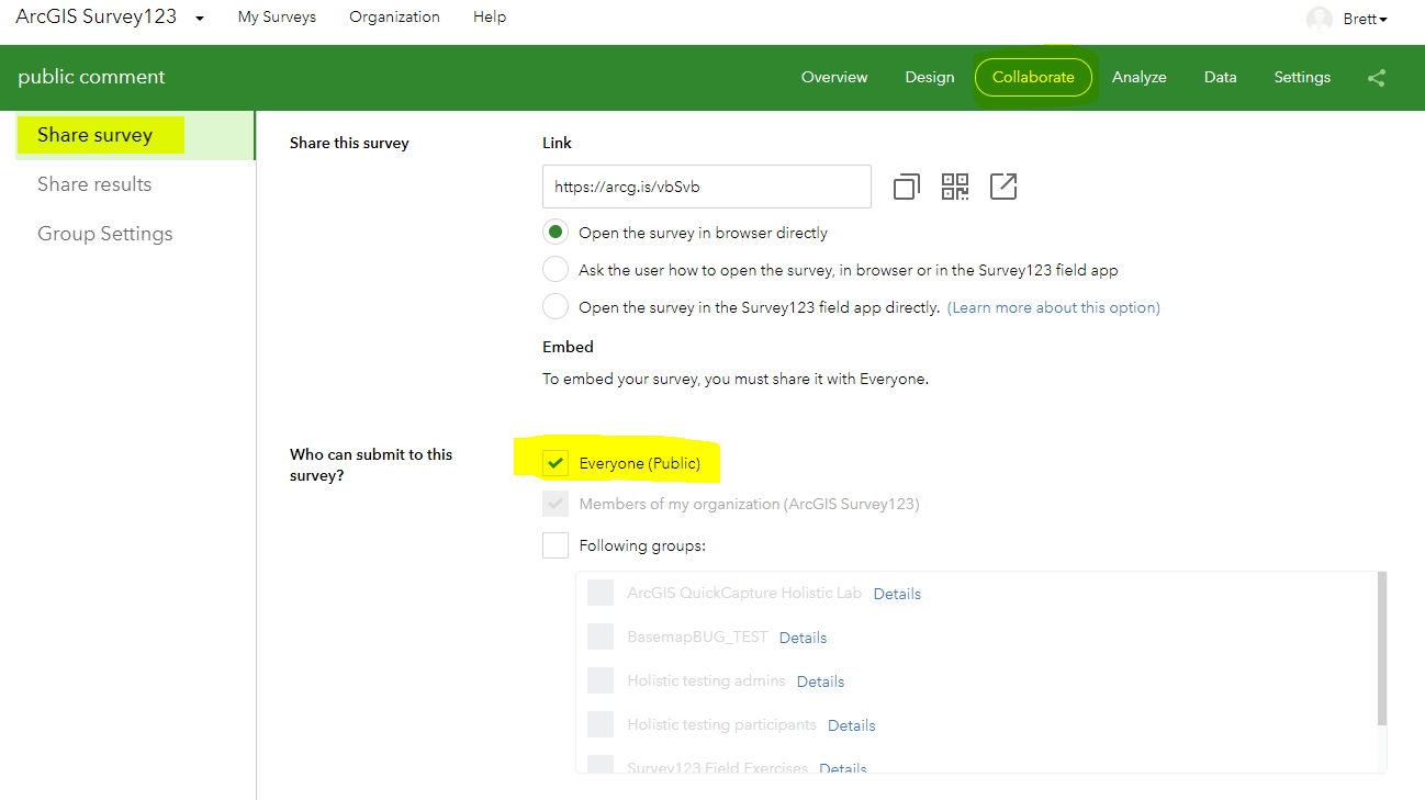
Once you've published the survey, you just need to make it public via the Collaborate tab in the Survey123 website. For the "Who can submit to this survey?" part, select Everyone (Public). You may also want to adjust some of the other settings on this page.

You can then share the survey URL link so that people can access and complete the survey in their browser. See these two Blogs by Ismael Chivite on public surveys for more information.
- https://community.esri.com/groups/survey123/blog/2016/11/10/getting-started-with-public-surveys
- https://community.esri.com/groups/survey123/blog/2020/05/11/securing-data-in-public-surveys-survey12...
Hope this helps,
Brett
- Mark as New
- Bookmark
- Subscribe
- Mute
- Subscribe to RSS Feed
- Permalink
Thank you! The only issue we have with this is that we can't upload our shapefiles onto the map in the survey. I have attached a link for what we are trying to accomplish on our hub site with an "interactive map" Interactive Project Map - SH-82 in Sequoyah County
This has really been driving me and my coworkers crazy trying to figure this out so I greatly appreciate your help!
- Mark as New
- Bookmark
- Subscribe
- Mute
- Subscribe to RSS Feed
- Permalink
Hi Morgan,
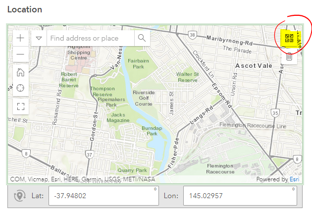
Once you have created a webmap containing your spatial data that you'd like to use in Survey123 (as a basemap), you just need to add it as a Linked Content item. This is done in Survey123 Connect, using the 'Linked Content' tab → Add map link. Once it has been linked, your custom webmap can be selected as a basemap using the basemap chooser, just make sure the webmap itself (and all the data displayed on it) has also been shared publicly :

Brett