- Home
- :
- All Communities
- :
- Products
- :
- ArcGIS Pro
- :
- ArcGIS Pro Questions
- :
- Re: Import 3D object on unpdated Terrain of the Ea...
- Subscribe to RSS Feed
- Mark Topic as New
- Mark Topic as Read
- Float this Topic for Current User
- Bookmark
- Subscribe
- Mute
- Printer Friendly Page
Import 3D object on unpdated Terrain of the Earth
- Mark as New
- Bookmark
- Subscribe
- Mute
- Subscribe to RSS Feed
- Permalink
- Report Inappropriate Content
Dear All,
When I wanted to do part of my project on the car park, I found the available Basemap of the area is not updated more than three years. This image is exactly showing the available version of Basemap on ArcGIS Pro.
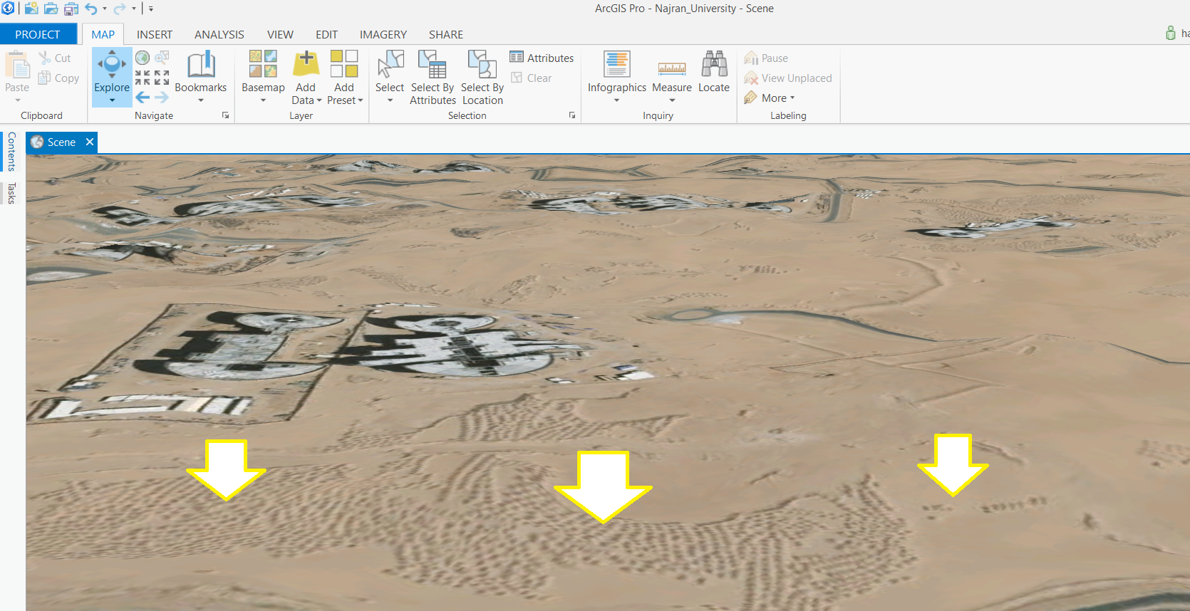
I was able to get a recent satellite image from a privet sector in the same country, and when I added this image as a layer, unfortunately, I got the right recent image but Terrain of the Earth remains the same (un-updated).
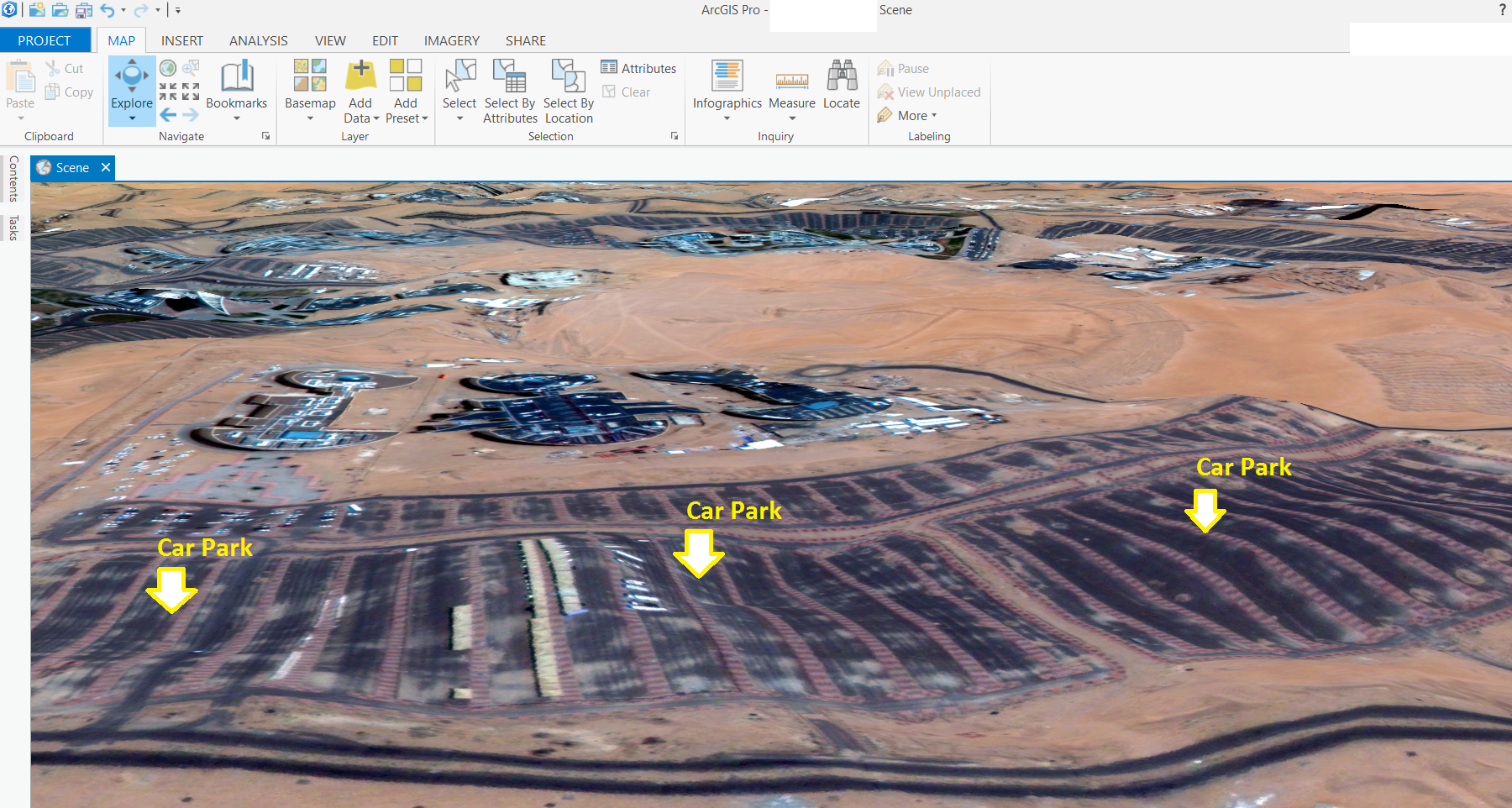
You can see the car park areas in the image. All of them are on a flat area without any differences.
The concern is:
when I want to place a Car Parking Shade that has a height of 5 meters from the ground, then the shade in some places will not be shown. This is because some of the car park areas have hill more than 5 meters.
Is there any suggestion to solve this problem please?
Or
Is there anyway allow me to keep the bottom of the shade starts from the highest point of the car park ground?
I thought to keep the pillars of the shade height more than 30 meters to avoid this problem, but at the same time not feeling satisfied as there is no car park shade with height of 30 meters.!
NOTE: The car park shade is designed in SketchUP program, then import it to ArcGIS pro.
- Mark as New
- Bookmark
- Subscribe
- Mute
- Subscribe to RSS Feed
- Permalink
- Report Inappropriate Content
Have you tried "On the ground  : For features that are situated at ground level, such as trees."
Define height characteristics for layers—ArcGIS Pro | ArcGIS Desktop
- Mark as New
- Bookmark
- Subscribe
- Mute
- Subscribe to RSS Feed
- Permalink
- Report Inappropriate Content
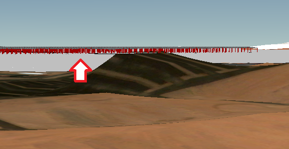
Hi Rickey Fite
Your suggestion was considered but actually the car park shed will be far from the ground with about 30 meters. This attached image shows how is the shed far from the ground due to some hill at some area:
- Mark as New
- Bookmark
- Subscribe
- Mute
- Subscribe to RSS Feed
- Permalink
- Report Inappropriate Content
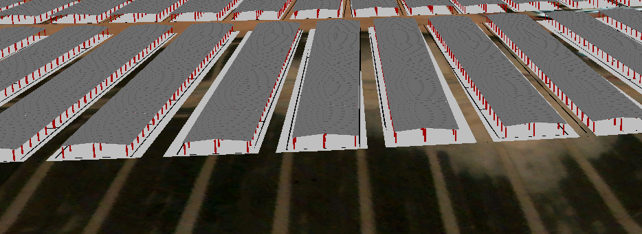
I did not realize that all the sheds grouped together. I assumed they would be separate.
I do not know of a way to have a polygon to follow ground contours.