- Home
- :
- All Communities
- :
- Products
- :
- ArcGIS Pro
- :
- ArcGIS Pro Questions
- :
- Re: ArcGIS Pro 2.5: What does the raster symbol in...
- Subscribe to RSS Feed
- Mark Topic as New
- Mark Topic as Read
- Float this Topic for Current User
- Bookmark
- Subscribe
- Mute
- Printer Friendly Page
ArcGIS Pro 2.5: What does the raster symbol indicate for in the “raster calculator” tool?
- Mark as New
- Bookmark
- Subscribe
- Mute
- Subscribe to RSS Feed
- Permalink
ArcGIS Pro 2.5: What does the raster symbol indicate within the “raster calculator” tool?
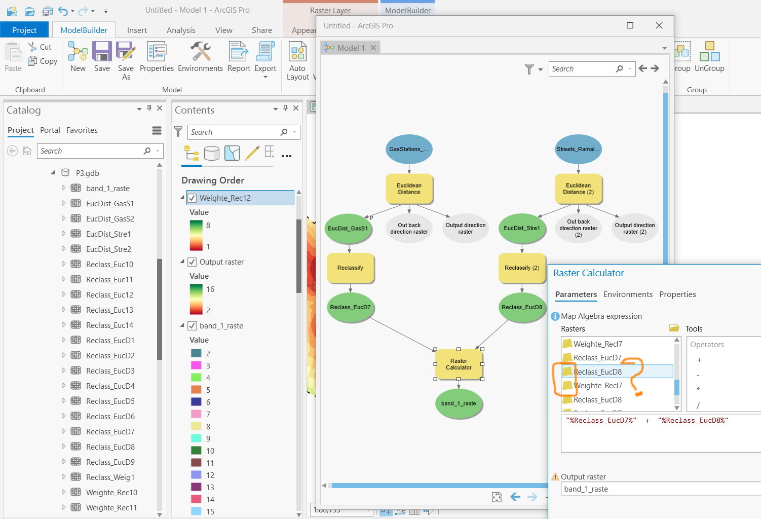
I couldn’t figure out what does the raster symbol indicate within the “raster calculator” tool; i.e the symbol next to the name of the raster (yellow and gridded symbol)

Jamal Numan
Geomolg Geoportal for Spatial Information
Ramallah, West Bank, Palestine
Solved! Go to Solution.
Accepted Solutions
- Mark as New
- Bookmark
- Subscribe
- Mute
- Subscribe to RSS Feed
- Permalink
I would say it's to differentiate the existing rasters created by your model in your table of contents from the output variable rasters within your model.
- Mark as New
- Bookmark
- Subscribe
- Mute
- Subscribe to RSS Feed
- Permalink
Why there is a yellow and gridded sign for each output layer?
Jamal Numan
Geomolg Geoportal for Spatial Information
Ramallah, West Bank, Palestine
- Mark as New
- Bookmark
- Subscribe
- Mute
- Subscribe to RSS Feed
- Permalink
I would say it's to differentiate the existing rasters created by your model in your table of contents from the output variable rasters within your model.
- Mark as New
- Bookmark
- Subscribe
- Mute
- Subscribe to RSS Feed
- Permalink
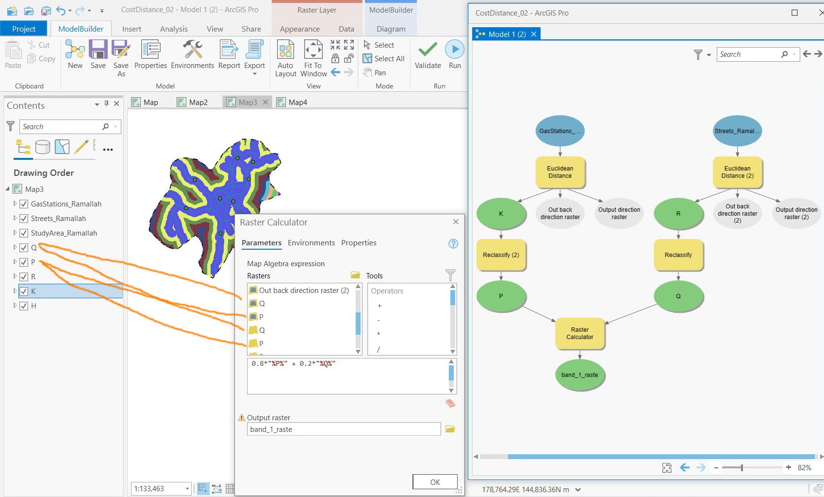
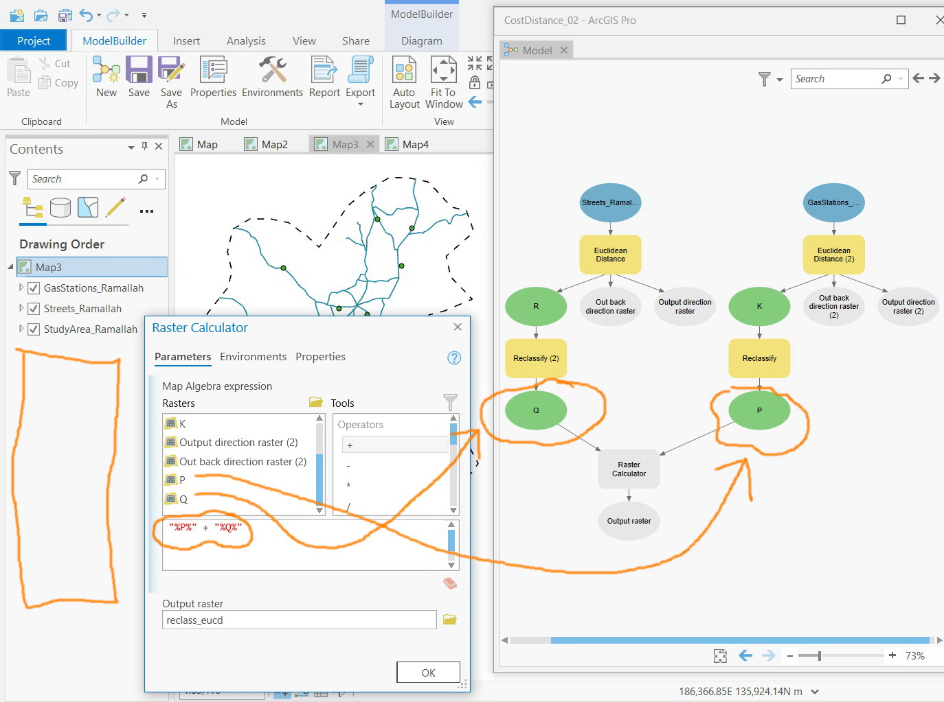
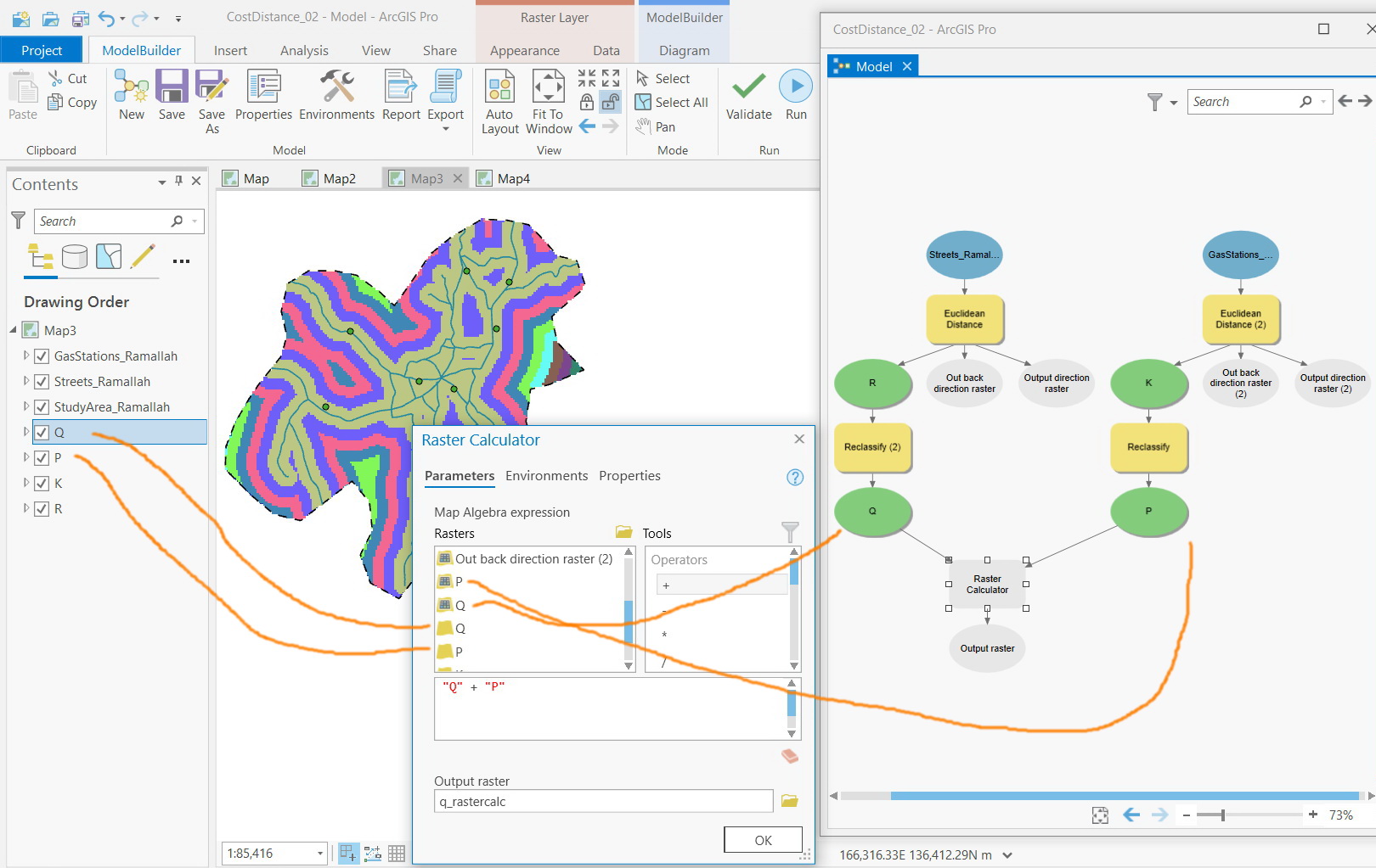
Right. The “yellow” layers appear in case the outputs are added to the content.
Does this mean that it is better to build the algebra equations from the “gridded”-colored layers but not from the “yellow” ones?
Jamal Numan
Geomolg Geoportal for Spatial Information
Ramallah, West Bank, Palestine
- Mark as New
- Bookmark
- Subscribe
- Mute
- Subscribe to RSS Feed
- Permalink
In the sense of running and sharing your tool definitely, otherwise the tool will be looking for the rasters you reference in whichever folder they are saved in, rather than following the logical progression of your Model.
Also any changes you subsequently make to your model inputs will not be output by the tool, as the rasters are hardcoded.
In short, use the 'gridded' rasters! 