- Home
- :
- All Communities
- :
- Products
- :
- ArcGIS Pro
- :
- ArcGIS Pro Questions
- :
- Re: 2D polygon to 3D polygon using World Elevation...
- Subscribe to RSS Feed
- Mark Topic as New
- Mark Topic as Read
- Float this Topic for Current User
- Bookmark
- Subscribe
- Mute
- Printer Friendly Page
2D polygon to 3D polygon using World Elevation 3D/Terrain3D
- Mark as New
- Bookmark
- Subscribe
- Mute
- Subscribe to RSS Feed
- Permalink
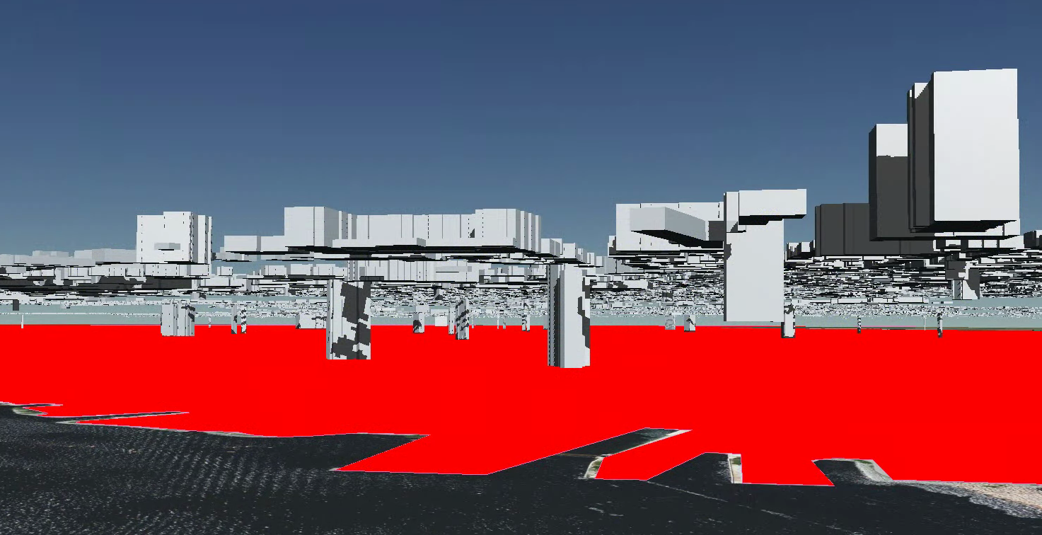
Hi I wanted to turn my 2D polygon into a 3D polygon using the terrain provided by default on ArcGIS Pro. I created buildings that use this ArcGIS World Terrain to visualize them, but if I just export them as a 2D shapefile, everything becomes flat and my buildings will float. I tried using the Interpolate Shape geoprocessing tool but my 2D shapefile is an invalid combination of arguments.
I attached 2 images, one showing a topojson being projected using WGS_1084_Web_Mercator_Auxiliary_Sphere coordinate system with the terrain off and the other with the terrain on.
- Mark as New
- Bookmark
- Subscribe
- Mute
- Subscribe to RSS Feed
- Permalink
Have you tried any of esri examples such as:
https://resource.esriuk.com/blog/2d-to-3d-in-arcgis-pro/
or
https://doc.arcgis.com/en/arcgis-solutions/reference/introduction-to-3d-basemaps.htm
- Mark as New
- Bookmark
- Subscribe
- Mute
- Subscribe to RSS Feed
- Permalink
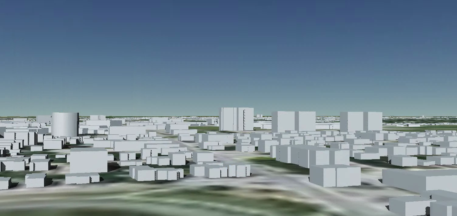
Hey, currently I can visualize it using a scene and I'm not looking to directly modify the polygon. What I'm sort of looking for is to export my 2D polygon in the shape that it takes when its draped over the elevation, because technically its flat right? I want to change the drape over the terrain into the actual shape for the polygon. Attached is an image of the file
- Mark as New
- Bookmark
- Subscribe
- Mute
- Subscribe to RSS Feed
- Permalink
@jaronkasiban What do you want to view this in after you export?
- Mark as New
- Bookmark
- Subscribe
- Mute
- Subscribe to RSS Feed
- Permalink
In Cesium as a topojson
- Mark as New
- Bookmark
- Subscribe
- Mute
- Subscribe to RSS Feed
- Permalink
@jaronkasiban
https://pro.arcgis.com/en/pro-app/latest/tool-reference/data-management/create-integrated-mesh-scene...
I think a mesh might be what you are looking for. I am not 100% sure.