- Home
- :
- All Communities
- :
- Products
- :
- ArcGIS Online
- :
- ArcGIS Online Questions
- :
- Re: Features not displaying in print from ArcGIS O...
- Subscribe to RSS Feed
- Mark Topic as New
- Mark Topic as Read
- Float this Topic for Current User
- Bookmark
- Subscribe
- Mute
- Printer Friendly Page
Features not displaying in print from ArcGIS Online
- Mark as New
- Bookmark
- Subscribe
- Mute
- Subscribe to RSS Feed
- Permalink
I am having issues printing from the Web Application builder print widget and the ArcGIS Online map viewer print function. Basemap layers will print fine, but features from my feature service are not being displayed in the image/file that is generated for printing.
When I try to print I get the labels from the features displayed, just not the symbols for the features.The feature service is a secured service running on our organization's 10.3.1 ArcGIS Server registered as an item within ArcGIS Online.
I get the same experience whether I use the print service available in ArcGIS Online or a print service running from our ArcGIS Server environment.
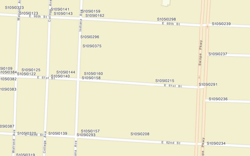
Attached is a screenshot generated from a print from the web application builder

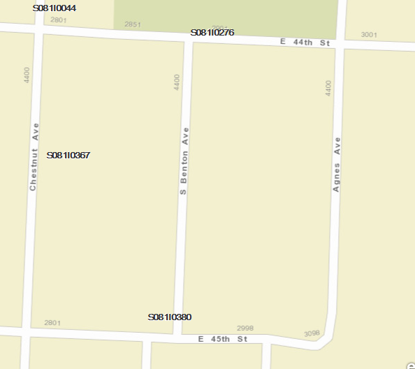
And from ArcGIS Online directly:

- Mark as New
- Bookmark
- Subscribe
- Mute
- Subscribe to RSS Feed
- Permalink
We had the issue when we had a feature service of several layers. So we
tried to publish each layer as a separate feature service and that
fixed the problem. I am still not sure if this is a permanent solution, but
so far so good.
- Mark as New
- Bookmark
- Subscribe
- Mute
- Subscribe to RSS Feed
- Permalink
I have a similar problem with the print widget, with a twist.
One of our layers will show in the print even if it is not turned on. If I want to see another layer in that group and have only the intended layer turned on, the unwanted soils layer shows up when printing.
I republished the map image service to make everything off by default. No change.
Created a new map and app for testing. No change.
- Mark as New
- Bookmark
- Subscribe
- Mute
- Subscribe to RSS Feed
- Permalink
Everything appears to be normal again. I don't think I did anything.
Now all of the layers that were the initial problem, are fine. And the new problem with the layer appearing that wasn't supposed to is gone, except now the layer in that group I do want to show up on the print, is not showing up
....
- Mark as New
- Bookmark
- Subscribe
- Mute
- Subscribe to RSS Feed
- Permalink
We also have the problem that just one of the layers in our App beside the base map are printed by the print widget in portal 10.7.1.
Changing the printing options in the widget doesn't make a difference. We didn't see a difference between the three layers why one is working but not the others.
The one is working is a point layer from a sql server geodatabase, the two layers which are not printed is a polygon layer from the same database and a published query feature layer all published from arcgis pro 2.4.1.
- Mark as New
- Bookmark
- Subscribe
- Mute
- Subscribe to RSS Feed
- Permalink
Same issue, but I found a very weird work-around. I have a line file that is actively being edited on a webmap by engineers in the field, while the same data is filtered on the client facing version of the webmap. My lines that were being edited and filtered would not show up on the print to pdf function we added for the client's use. I tried creating new Hosted Feature Layers and copying and pasting the existing lines with various settings on and off, but no dice. I finally just created an empty HFL in WGS 84 and drew a quick shape. Adding that NEW LINE HFL forced the my existing lines to show up in the PDF print. None of us know why, but I edited my rough shape to the be the facility boundary and just told the client that layer needs to be turned on in order for the existing/collected lines to print to pdf. If anyone can make sense out of that, please share!
- Mark as New
- Bookmark
- Subscribe
- Mute
- Subscribe to RSS Feed
- Permalink
Amazing -- thanks so much for commenting about your workaround, Anonymous User!
I had the same issue -- when using the Print widget, only my basemap showed up on the PDF. I have 2 feature layers, and the features from those did not appear on the PDF.
I tried everything I could think of (republished services, removed/re-added layers to the web map, rebuilt indices, removed all layer configurations and re-added them, checked data for errors, deleted and rebuilt the web map and web mapping application) and nothing worked.
I read your comment and created a new hosted feature layer (line) and drew a line on the map.
I tested the printing widget and now all of my feature layers appear on the printed PDF!
It doesn't make sense, but it's a workaround I can use. Thanks again.
- « Previous
- Next »
- « Previous
- Next »